Labour-in-vain
Settlement in Kent Tonbridge and Malling
England
Labour-in-vain
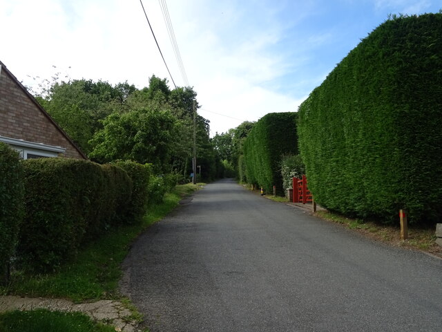
Labour-in-vain is a small village located in the county of Kent, in southeastern England. Situated near the town of Cranbrook, it is part of the civil parish of Benenden. The village is nestled in the picturesque High Weald Area of Outstanding Natural Beauty, known for its rolling hills, lush greenery, and charming countryside.
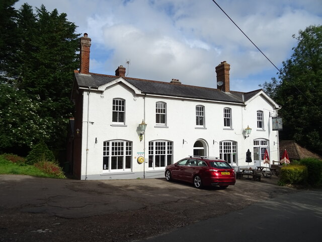
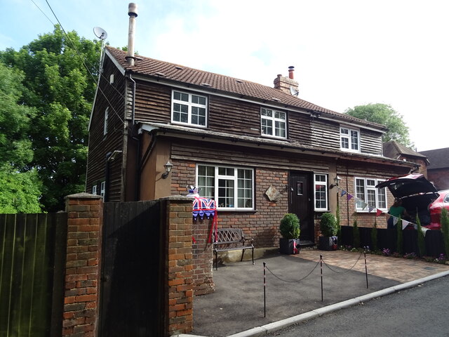
Labour-in-vain is a quintessential English village, with a population of around 300 residents. It boasts a tight-knit community and a tranquil atmosphere, making it an ideal place for those seeking a peaceful and idyllic setting. The village is renowned for its traditional thatched cottages, which add to its old-world charm.
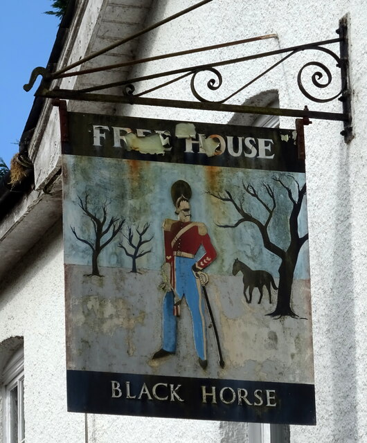
Despite its small size, Labour-in-vain has a rich history. The origins of its unique name are uncertain, but it is believed to stem from a phrase used by farm laborers who toiled in the surrounding fields. The village has a small church, St. Mary's, which dates back to the 12th century and features beautiful stained glass windows and intricate wooden carvings.
The surrounding countryside offers plenty of opportunities for outdoor activities, such as hiking, cycling, and horseback riding. The village is also within close proximity to Bedgebury National Pinetum and Forest, a popular recreational spot with extensive woodlands and walking trails.
While Labour-in-vain does not have many amenities, it benefits from its proximity to Cranbrook, where residents can find a range of shops, restaurants, and other essential services. Additionally, the village is well-connected to the rest of Kent via road networks, making it easily accessible for visitors and commuters alike.
If you have any feedback on the listing, please let us know in the comments section below.
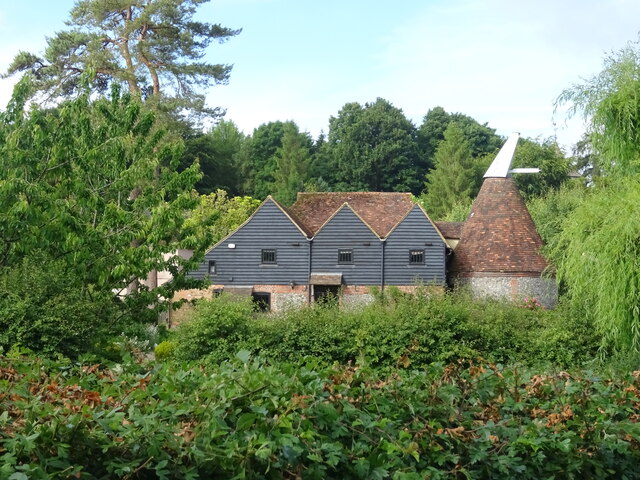
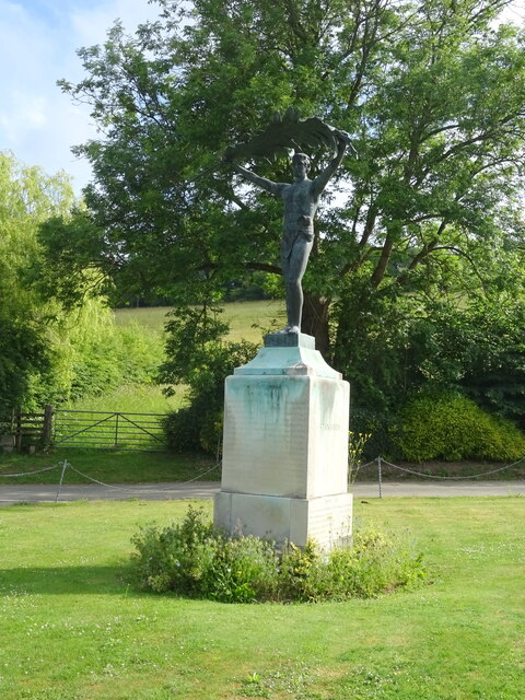
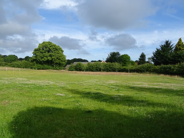
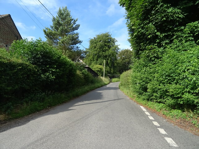
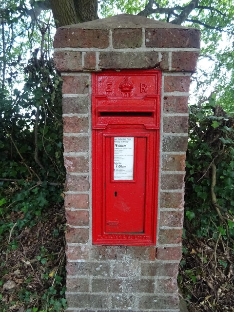
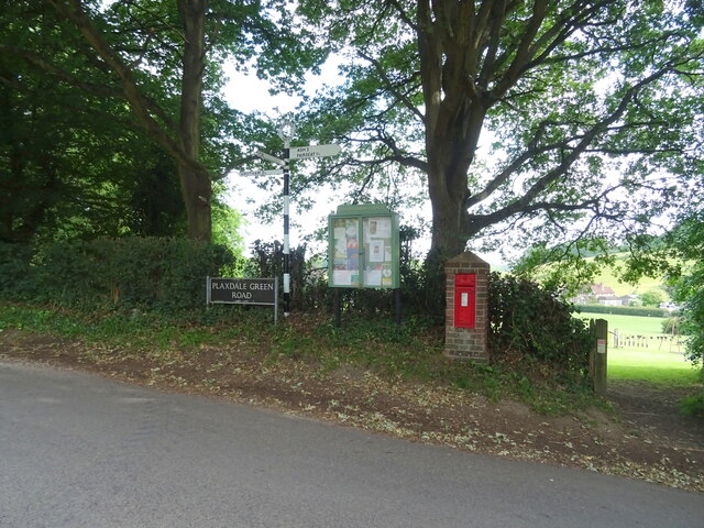
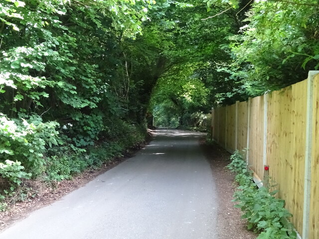
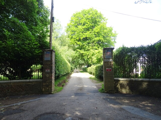
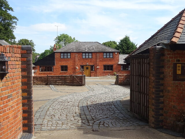
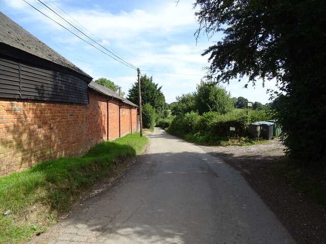
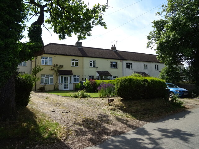
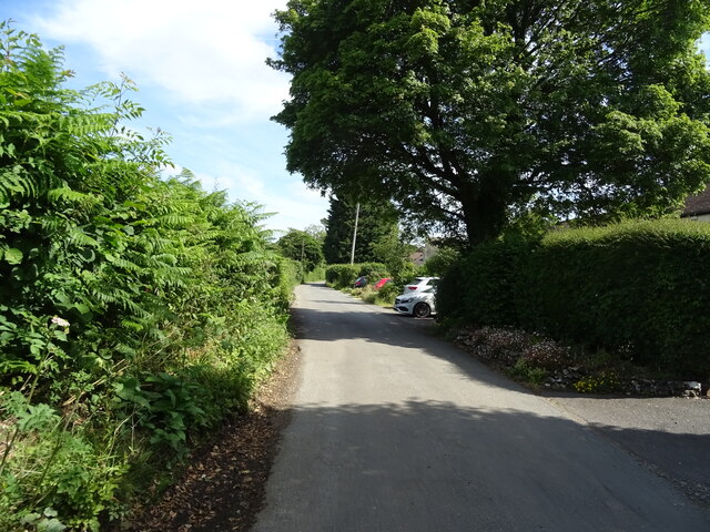
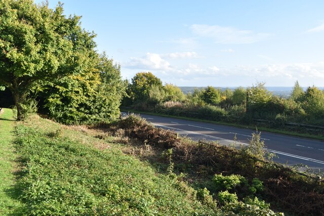
Labour-in-vain Images
Images are sourced within 2km of 51.319498/0.30295609 or Grid Reference TQ6060. Thanks to Geograph Open Source API. All images are credited.
Labour-in-vain is located at Grid Ref: TQ6060 (Lat: 51.319498, Lng: 0.30295609)
Administrative County: Kent
District: Tonbridge and Malling
Police Authority: Kent
What 3 Words
///guises.fats.thanks. Near Wrotham, Kent
Nearby Locations
Related Wikis
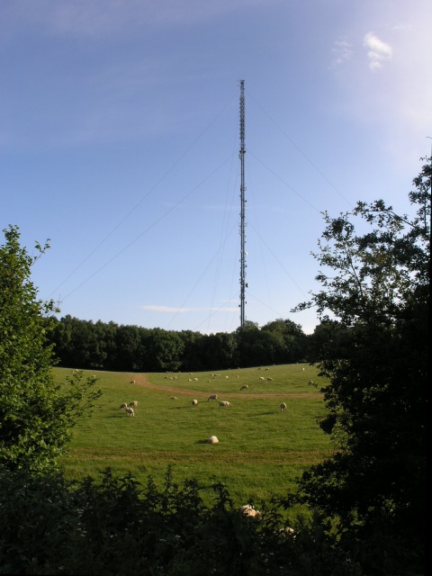
Wrotham transmitting station
The Wrotham transmitting station is located on the North Downs, close to the village of Wrotham in Kent, England and just north of the M20 motorway. Its...

Wrotham
Wrotham ( ROO-təm) is a village on the Pilgrims' Way in Kent, England, at the foot of the North Downs. It is 1 mile (1.6 km) north of Borough Green and...

Napps, Wrotham
Napps was a cricket ground at Wrotham in Kent. One match played on the ground was given retrospective first-class cricket status. This took place in 1815...
Stansted, Kent
Stansted (referred to in older texts as Stanstead) is a village and rural parish in the Tonbridge and Malling district of the county of Kent in the United...
Nearby Amenities
Located within 500m of 51.319498,0.30295609Have you been to Labour-in-vain?
Leave your review of Labour-in-vain below (or comments, questions and feedback).