White Piece Wood
Wood, Forest in Kent Tonbridge and Malling
England
White Piece Wood
White Piece Wood is a picturesque woodland located in the county of Kent, England. Situated in the heart of the Kent Downs Area of Outstanding Natural Beauty, this serene forest covers an area of approximately 20 hectares. The wood is named after the abundance of whitebeam trees that dominate its landscape, providing a stunning display of blossom in spring and vibrant foliage in autumn.
This ancient woodland has a rich history, with evidence of human activity dating back thousands of years. Remnants of Iron Age earthworks and Bronze Age burial mounds can still be found within the wood, adding an air of mystery and intrigue to the area.
White Piece Wood is home to a diverse range of flora and fauna, making it a haven for nature enthusiasts. The forest floor is carpeted with a variety of wildflowers, including bluebells, wood anemones, and primroses, creating a vibrant and colorful display during the spring months. The wood also boasts a healthy population of native wildlife, such as deer, foxes, badgers, and a plethora of bird species, making it a popular spot for birdwatching and wildlife photography.
Visitors to White Piece Wood can enjoy a network of well-maintained footpaths, allowing them to explore the woodland at their own pace. The tranquil atmosphere and stunning natural beauty of the forest make it an ideal destination for those seeking a peaceful and idyllic retreat from the hustle and bustle of everyday life.
If you have any feedback on the listing, please let us know in the comments section below.
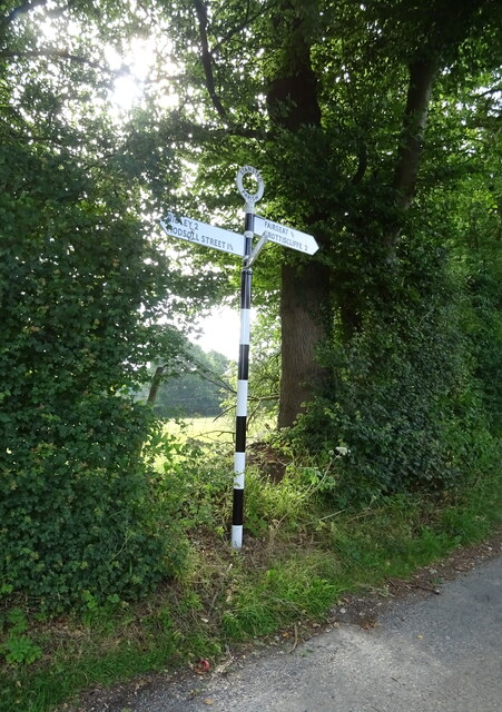
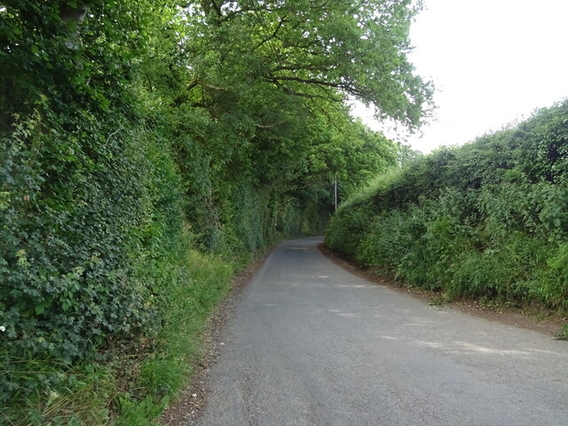
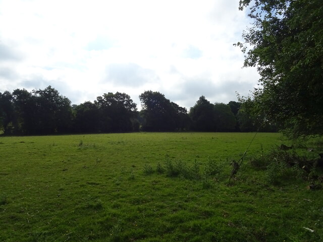
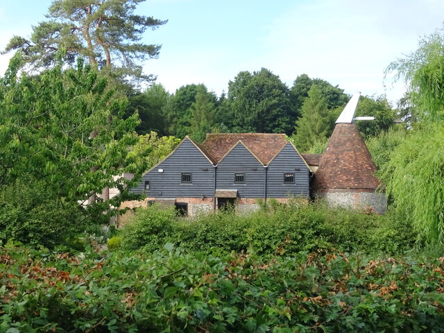
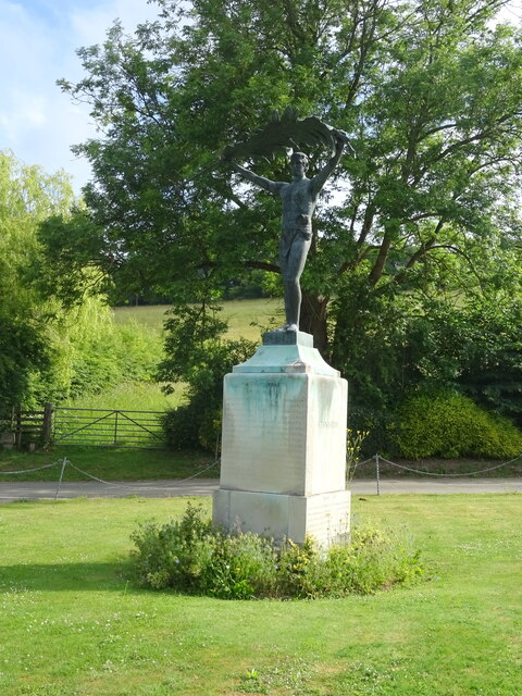
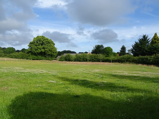
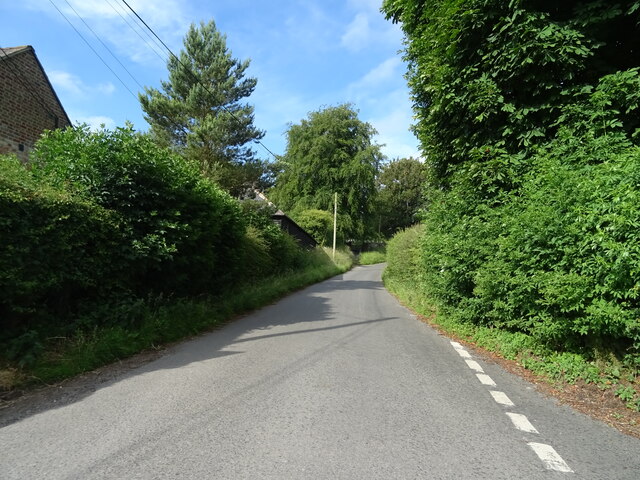
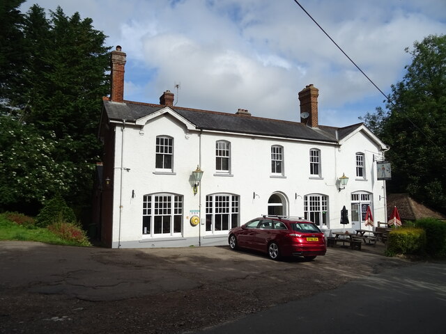
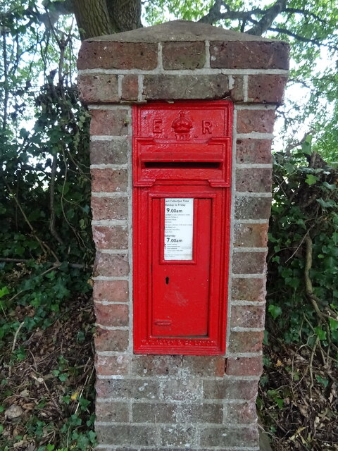
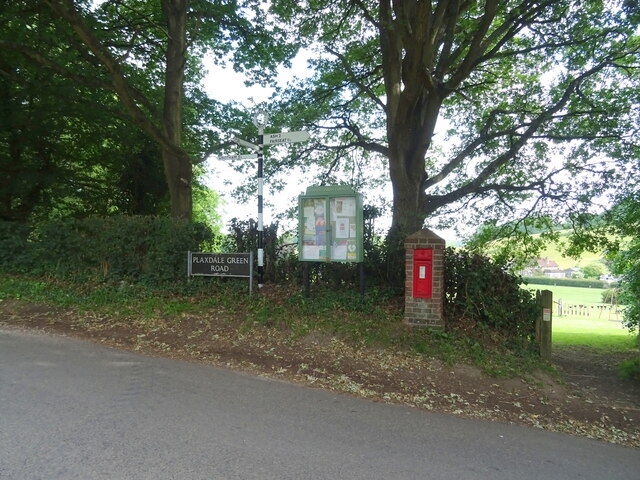
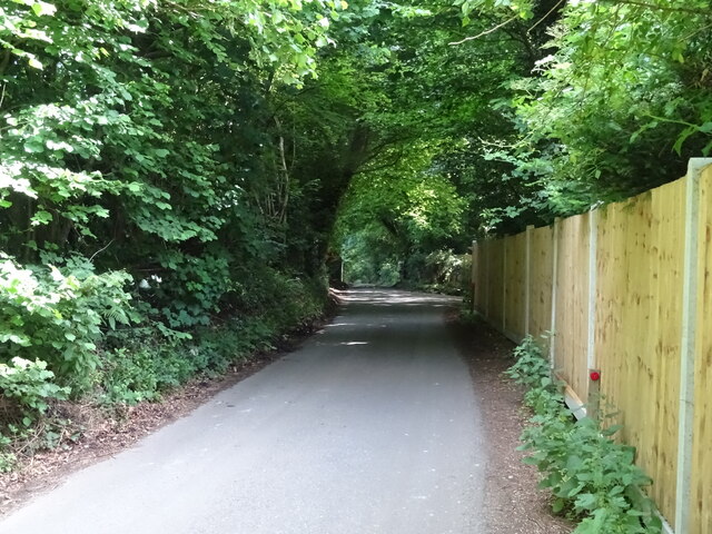
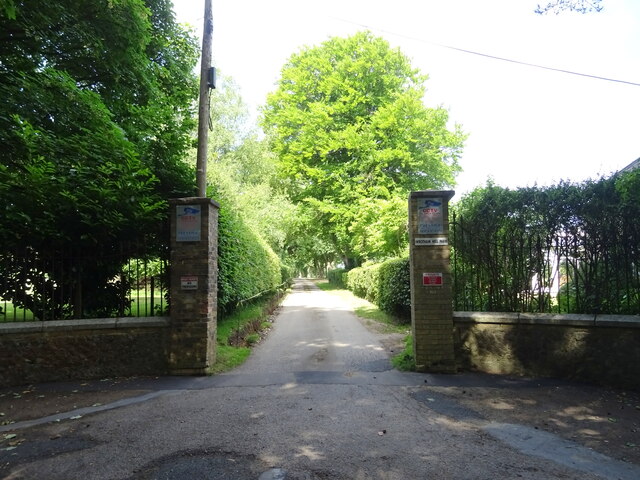
White Piece Wood Images
Images are sourced within 2km of 51.322531/0.30422756 or Grid Reference TQ6060. Thanks to Geograph Open Source API. All images are credited.
White Piece Wood is located at Grid Ref: TQ6060 (Lat: 51.322531, Lng: 0.30422756)
Administrative County: Kent
District: Tonbridge and Malling
Police Authority: Kent
What 3 Words
///given.will.composers. Near Wrotham, Kent
Nearby Locations
Related Wikis
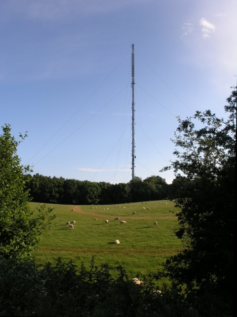
Wrotham transmitting station
The Wrotham transmitting station is located on the North Downs, close to the village of Wrotham in Kent, England and just north of the M20 motorway. Its...

Stansted, Kent
Stansted (referred to in older texts as Stanstead) is a village and rural parish in the Tonbridge and Malling district of the county of Kent in the United...

Wrotham
Wrotham ( ROO-təm) is a village on the Pilgrims' Way in Kent, England, at the foot of the North Downs. It is 1 mile (1.6 km) north of Borough Green and...
Napps, Wrotham
Napps was a cricket ground at Wrotham in Kent. One match played on the ground was given retrospective first-class cricket status. This took place in 1815...
Wrotham School
Wrotham School is a coeducational secondary school and sixth form with academy status, near Sevenoaks, Kent, England. It has about 760 registered students...

Trosley Country Park
Trosley Country Park is in Trottiscliffe, near Vigo, in Kent, England. Once part of a large woodland estate then after many changes, it was passed to Kent...
London Golf Club
The London Golf Club is a privately owned golf course located in the village of Ash, Kent, approximately 20 miles southeast of London. == History == The...

West Kingsdown Windmill
West Kingsdown Windmill is a Grade II listed smock mill in West Kingsdown, Kent, England, that was built in the early nineteenth century at Farningham...
Nearby Amenities
Located within 500m of 51.322531,0.30422756Have you been to White Piece Wood?
Leave your review of White Piece Wood below (or comments, questions and feedback).