Grove Wood
Wood, Forest in Kent Tonbridge and Malling
England
Grove Wood
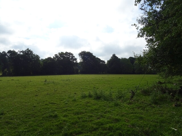
Grove Wood is a picturesque woodland located in Kent, England. Spanning an area of approximately 50 acres, it is a prime example of a thriving and diverse forest ecosystem. The wood is predominantly composed of deciduous trees, including oak, ash, and beech, which create a stunning display of colors during the autumn months.
As visitors enter Grove Wood, they are immediately greeted by a sense of tranquility and natural beauty. The forest floor is carpeted with a rich variety of flora, such as bluebells, primroses, and wild garlic, adding to its charm and appeal. The wood is also home to a diverse range of wildlife, including deer, foxes, and a variety of bird species, making it a haven for nature enthusiasts and wildlife photographers.
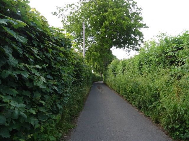
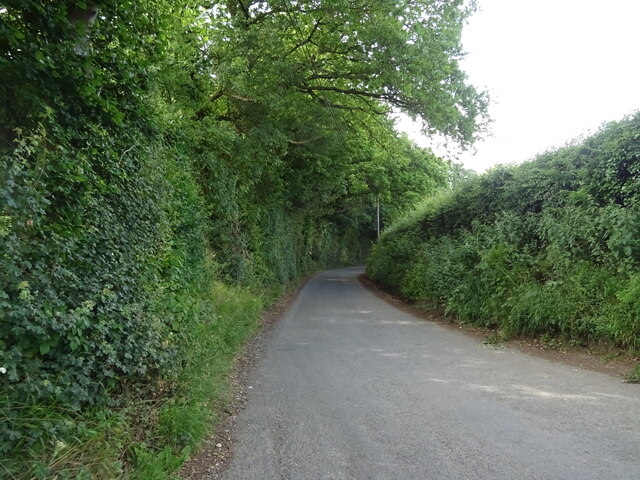
A network of well-maintained footpaths and trails crisscrosses the wood, allowing visitors to explore its hidden corners and discover its secrets. There are several picnic areas and benches strategically placed throughout the wood, providing an opportunity for visitors to rest and enjoy the surroundings.
Grove Wood is not only a popular destination for leisurely walks and picnics but also serves as an educational resource. Local schools often organize field trips to the wood, where students can learn about the importance of forests, biodiversity, and conservation efforts.
Overall, Grove Wood in Kent offers a serene and picturesque setting for nature lovers, hikers, and families alike. With its stunning landscapes, diverse wildlife, and educational opportunities, it continues to be a cherished natural gem in the heart of Kent.
If you have any feedback on the listing, please let us know in the comments section below.
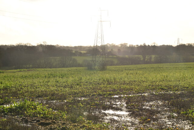
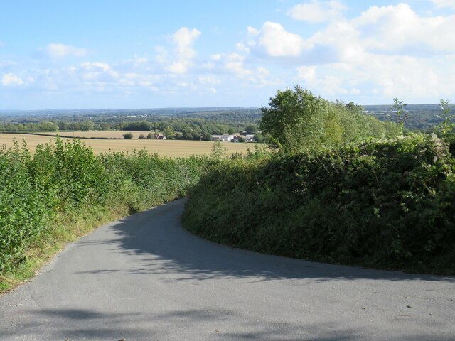
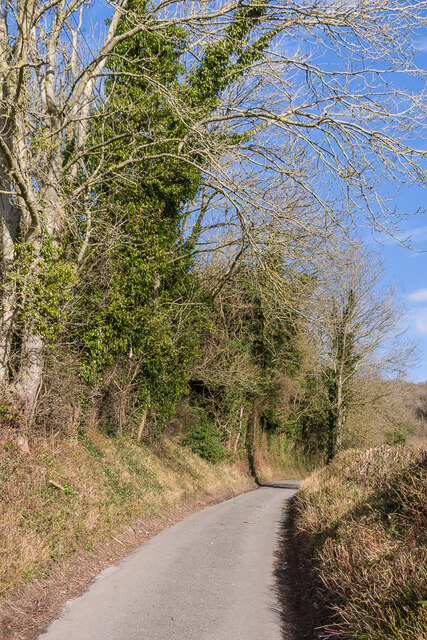
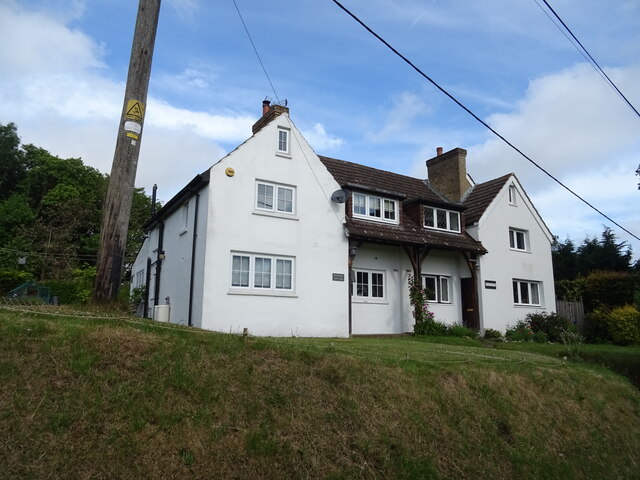
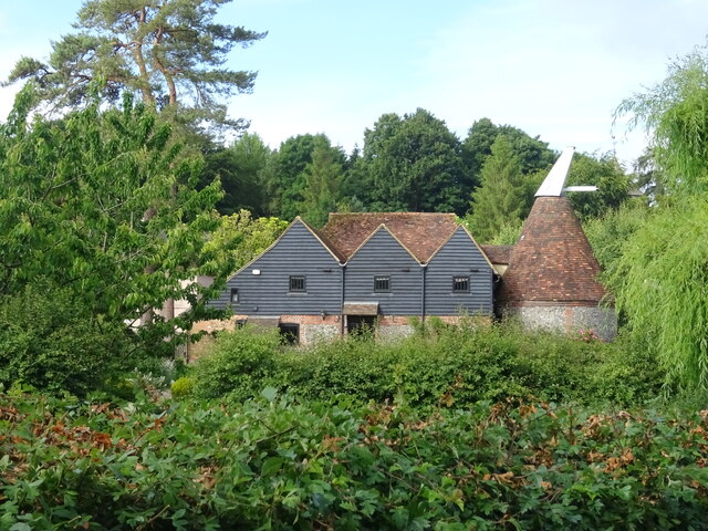
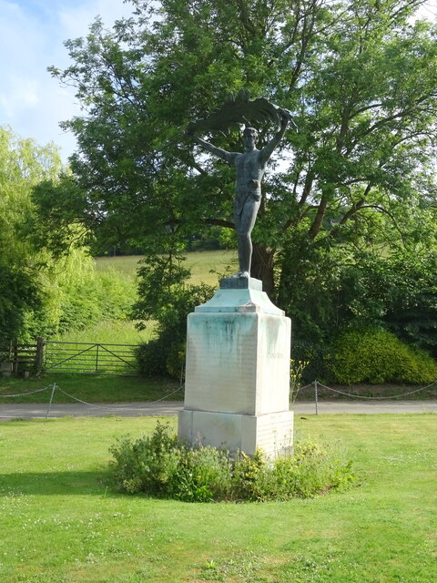
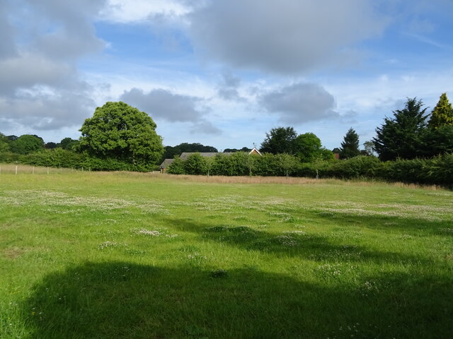
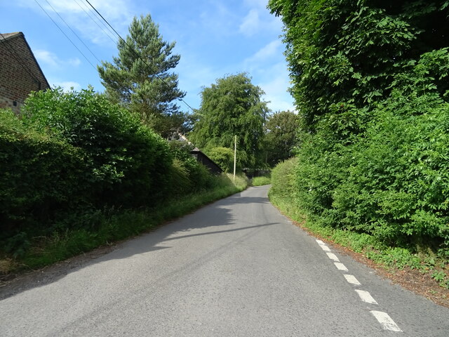
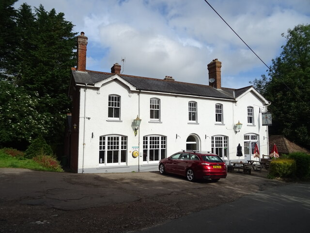
Grove Wood Images
Images are sourced within 2km of 51.324438/0.30690685 or Grid Reference TQ6060. Thanks to Geograph Open Source API. All images are credited.
Grove Wood is located at Grid Ref: TQ6060 (Lat: 51.324438, Lng: 0.30690685)
Administrative County: Kent
District: Tonbridge and Malling
Police Authority: Kent
What 3 Words
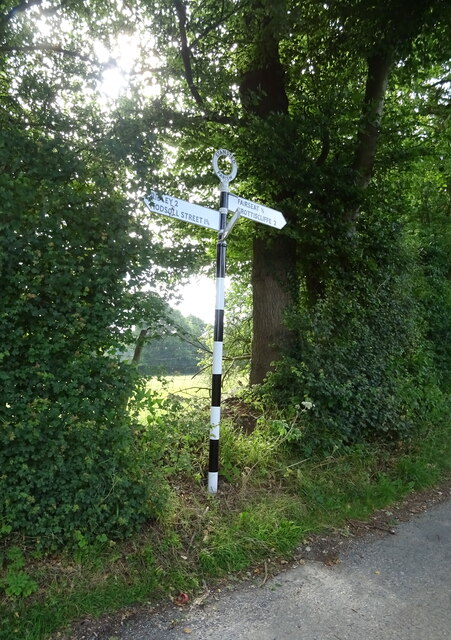
///tube.grid.dent. Near Wrotham, Kent
Nearby Locations
Related Wikis

Stansted, Kent
Stansted (referred to in older texts as Stanstead) is a village and rural parish in the Tonbridge and Malling district of the county of Kent in the United...
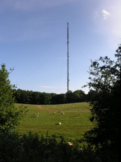
Wrotham transmitting station
The Wrotham transmitting station is located on the North Downs, close to the village of Wrotham in Kent, England and just north of the M20 motorway. Its...

Wrotham
Wrotham ( ROO-təm) is a village on the Pilgrims' Way in Kent, England, at the foot of the North Downs. It is 1 mile (1.6 km) north of Borough Green and...
Napps, Wrotham
Napps was a cricket ground at Wrotham in Kent. One match played on the ground was given retrospective first-class cricket status. This took place in 1815...

Trosley Country Park
Trosley Country Park is in Trottiscliffe, near Vigo, in Kent, England. Once part of a large woodland estate then after many changes, it was passed to Kent...
London Golf Club
The London Golf Club is a privately owned golf course located in the village of Ash, Kent, approximately 20 miles southeast of London. == History == The...
Wrotham School
Wrotham School is a coeducational secondary school and sixth form with academy status, near Sevenoaks, Kent, England. It has about 760 registered students...

Vigo Village
Vigo Village is a village and (as simply Vigo) a civil parish in the Gravesham district in Kent, England. It takes its name from a 15th-century public...
Nearby Amenities
Located within 500m of 51.324438,0.30690685Have you been to Grove Wood?
Leave your review of Grove Wood below (or comments, questions and feedback).