Long Wood
Wood, Forest in Kent Tonbridge and Malling
England
Long Wood
Long Wood is a picturesque forest located in the county of Kent, England. Spanning over 2,000 acres, it is one of the largest woodlands in the region. The wood is situated near the village of Longfield, just a short distance from the bustling town of Dartford.
Long Wood is a diverse and vibrant natural habitat, home to a wide variety of flora and fauna. The forest is primarily composed of broadleaf trees, including oak, beech, and chestnut. These towering trees provide a dense canopy, creating a cool and tranquil atmosphere within the wood.
The forest floor is covered with a rich carpet of wildflowers, moss, and ferns, adding to the beauty and biodiversity of the area. Long Wood is also home to a number of rare and protected plant species, making it an important site for conservation.
The wood is a haven for wildlife enthusiasts, offering opportunities for birdwatching, as well as sightings of mammals such as deer, foxes, and badgers. The forest is also known for its diverse bird population, with species such as woodpeckers, owls, and thrushes frequently spotted.
Long Wood is a popular destination for outdoor activities and recreational pursuits. It boasts a network of well-maintained walking trails, allowing visitors to explore the wood at their leisure. These trails provide access to various points of interest, including a picturesque lake and a tranquil stream. Additionally, the wood offers designated picnic areas and camping sites for those who wish to immerse themselves in the natural surroundings overnight.
Overall, Long Wood is a picturesque and ecologically significant woodland that offers a peaceful retreat for nature lovers and outdoor enthusiasts alike.
If you have any feedback on the listing, please let us know in the comments section below.
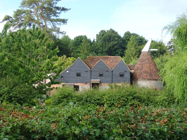
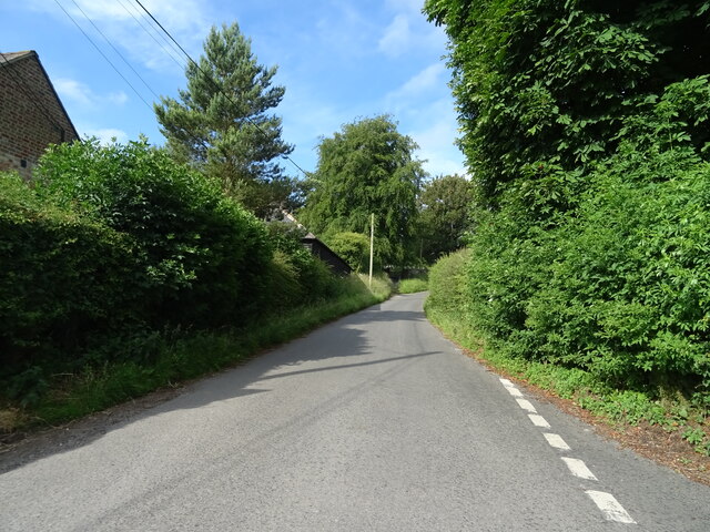
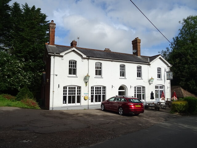
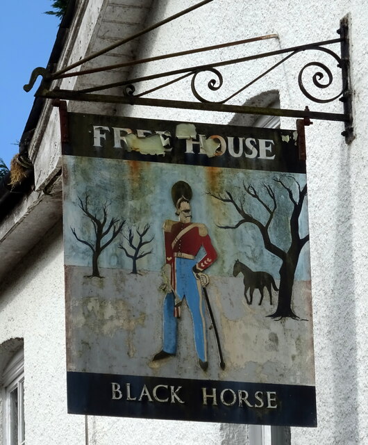
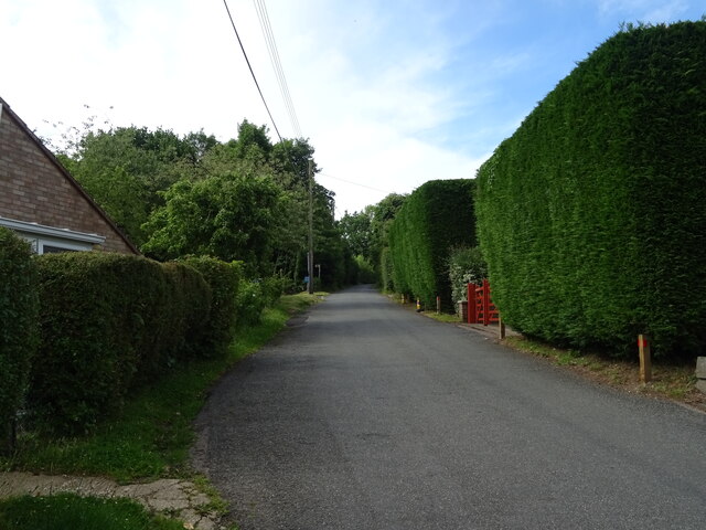
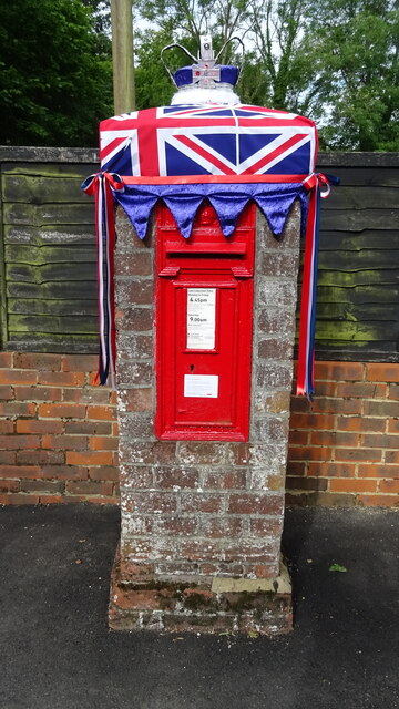
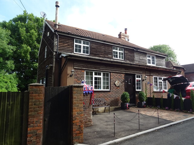
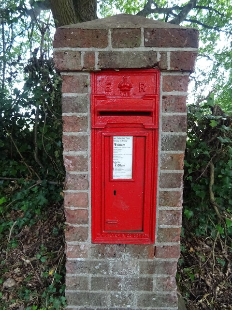
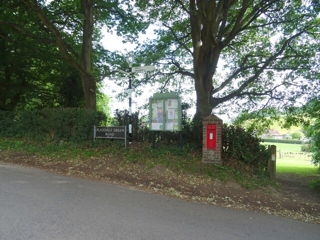
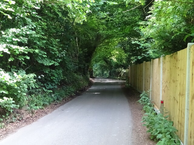
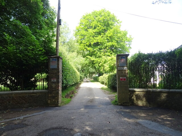
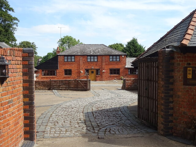
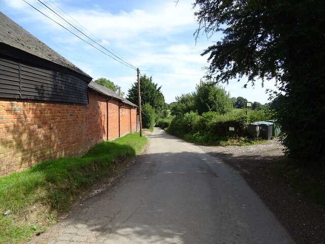
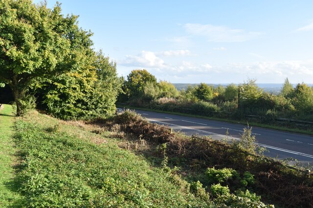
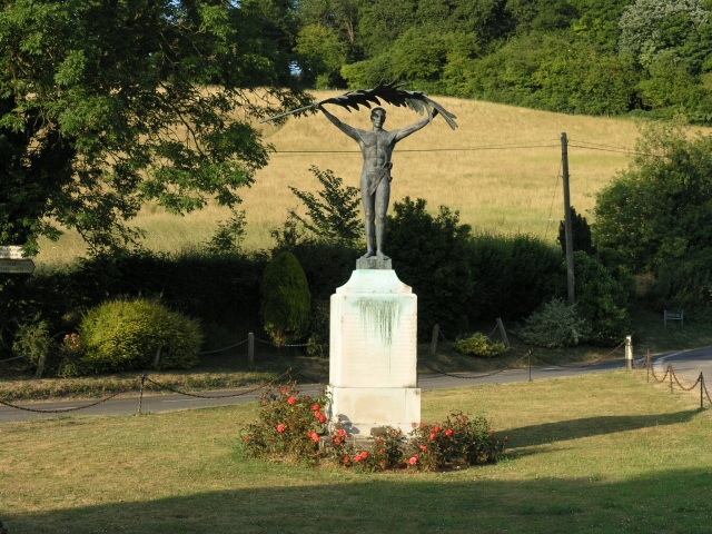
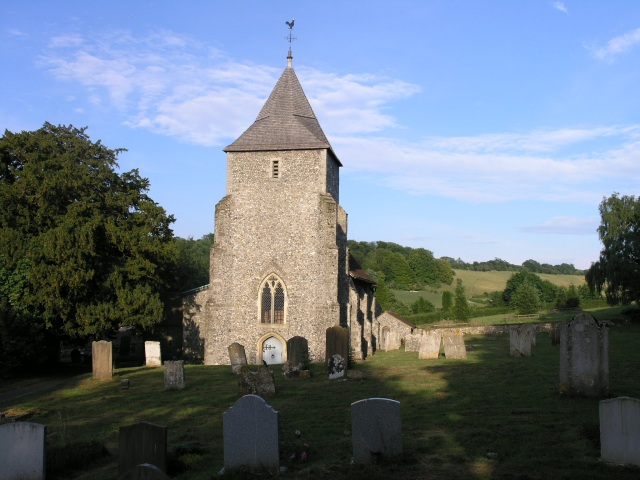
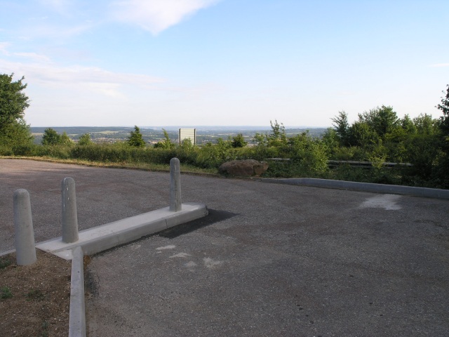
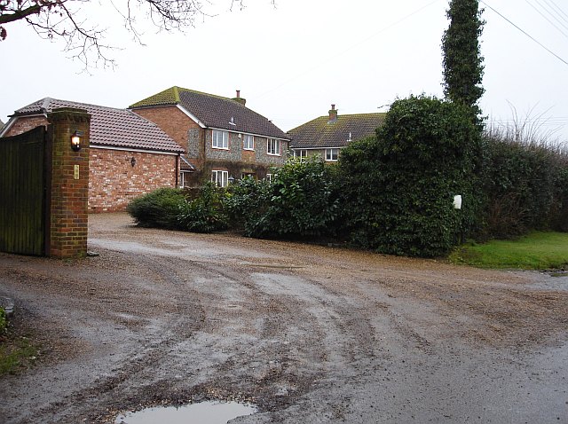
Long Wood Images
Images are sourced within 2km of 51.319107/0.29907581 or Grid Reference TQ6060. Thanks to Geograph Open Source API. All images are credited.
Long Wood is located at Grid Ref: TQ6060 (Lat: 51.319107, Lng: 0.29907581)
Administrative County: Kent
District: Tonbridge and Malling
Police Authority: Kent
What 3 Words
///fills.asks.pillow. Near Wrotham, Kent
Nearby Locations
Related Wikis
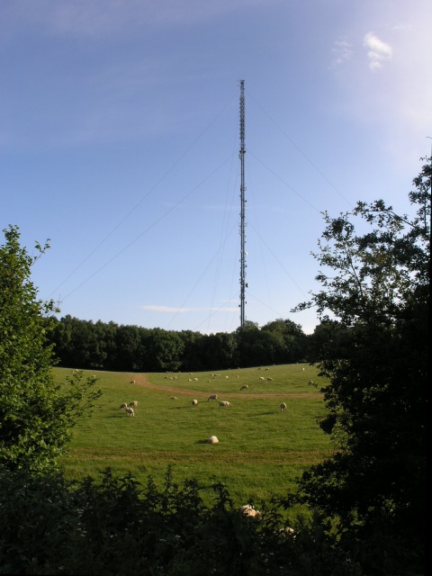
Wrotham transmitting station
The Wrotham transmitting station is located on the North Downs, close to the village of Wrotham in Kent, England and just north of the M20 motorway. Its...

Wrotham
Wrotham ( ROO-təm) is a village on the Pilgrims' Way in Kent, England, at the foot of the North Downs. It is 1 mile (1.6 km) north of Borough Green and...

Napps, Wrotham
Napps was a cricket ground at Wrotham in Kent. One match played on the ground was given retrospective first-class cricket status. This took place in 1815...
Stansted, Kent
Stansted (referred to in older texts as Stanstead) is a village and rural parish in the Tonbridge and Malling district of the county of Kent in the United...
Wrotham School
Wrotham School is a coeducational secondary school and sixth form with academy status, near Sevenoaks, Kent, England. It has about 760 registered students...
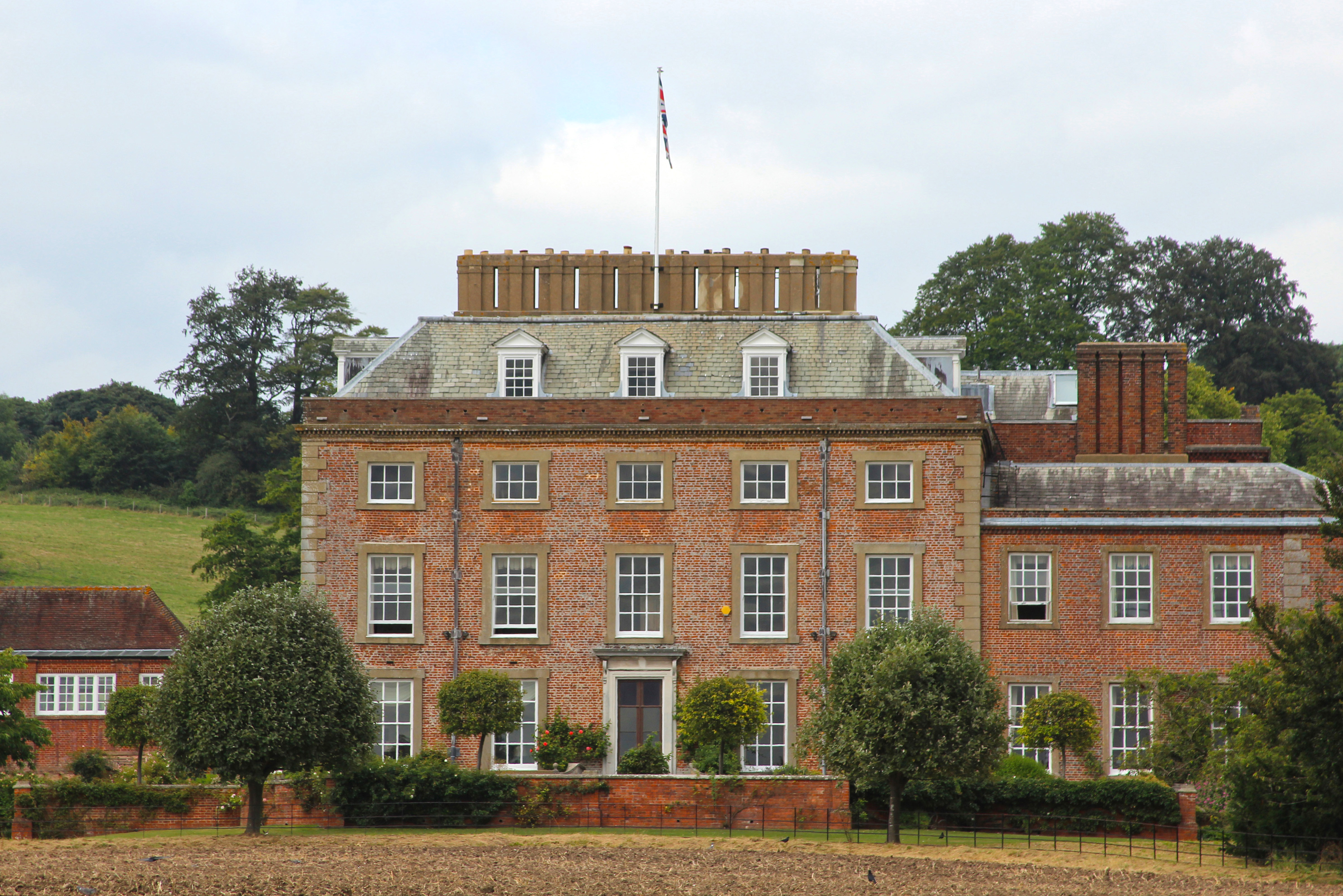
St Clere, Kent
St Clere is a Grade I listed 17th-century country house in Kemsing, Kent, England. The house is built in brick in three storeys plus basement and attic...

West Kingsdown Windmill
West Kingsdown Windmill is a Grade II listed smock mill in West Kingsdown, Kent, England, that was built in the early nineteenth century at Farningham...

Borough Green & Wrotham railway station
Borough Green & Wrotham railway station is located in Borough Green in Kent, England. It is 29 miles 46 chains (47.6 km) down the line from London Victoria...
Nearby Amenities
Located within 500m of 51.319107,0.29907581Have you been to Long Wood?
Leave your review of Long Wood below (or comments, questions and feedback).