Round Wood

Wood, Forest in Kent Tonbridge and Malling

England

Round Wood

The Black Horse, Stansted On Tumblefield Road.
See <a href="https://www.geograph.org.uk/photo/7215275">TQ6062 : Sign for the Black Horse, Stansted</a> for pub sign.
The Black Horse, Stansted Credit: JThomas

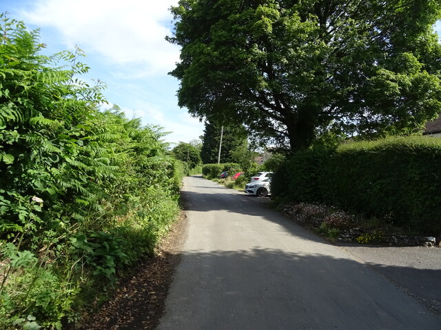
Round Wood, located in Kent, England, is a picturesque forest area known for its natural beauty and tranquil surroundings. Spanning approximately 300 acres, this woodland offers a delightful escape from the hustle and bustle of everyday life.

The forest is predominantly composed of native broadleaf trees, including oak, beech, and birch, which create an enchanting canopy that filters sunlight and provides shade during the summer months. These trees also support a diverse ecosystem, attracting various bird species, such as woodpeckers and owls, as well as small mammals like squirrels and foxes.

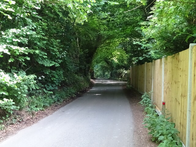
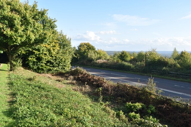
Visitors to Round Wood can enjoy a network of well-maintained trails that wind through the forest, allowing for pleasant walks and leisurely strolls. The paths are clearly marked and offer different lengths and difficulty levels, catering to both casual walkers and more seasoned hikers. Along the way, there are several benches strategically placed, providing opportunities to rest and take in the breathtaking scenery.

Furthermore, Round Wood offers a range of recreational activities for outdoor enthusiasts. There are designated areas for camping and picnicking, providing visitors with the chance to immerse themselves in nature for a longer period. The forest is also popular among birdwatchers and photographers, who can capture stunning shots of the local wildlife in its natural habitat.

Overall, Round Wood in Kent is a haven for nature lovers, offering a peaceful and idyllic setting to enjoy the great outdoors. Whether it's a leisurely walk, a family picnic, or wildlife observation, this forest provides a welcoming and refreshing experience for all who visit.

If you have any feedback on the listing, please let us know in the comments section below.
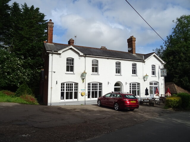
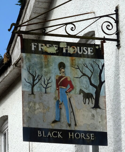
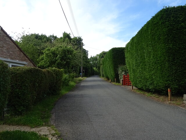
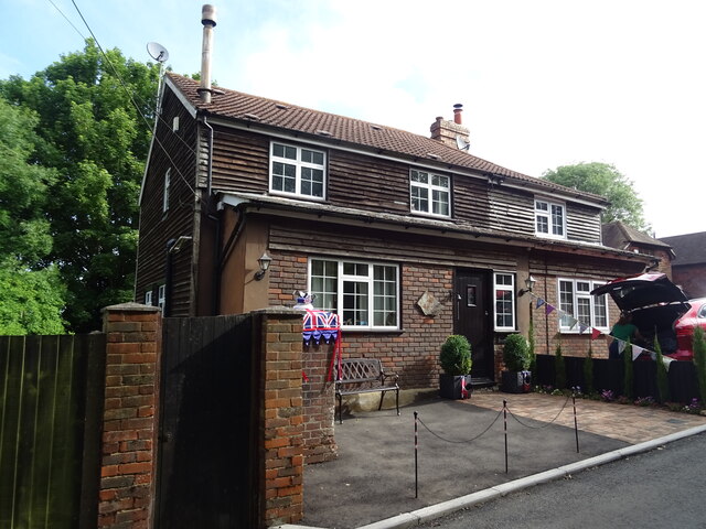
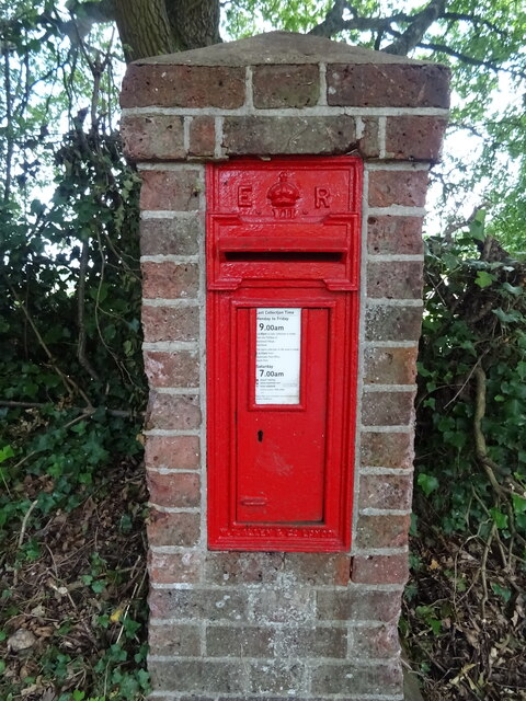
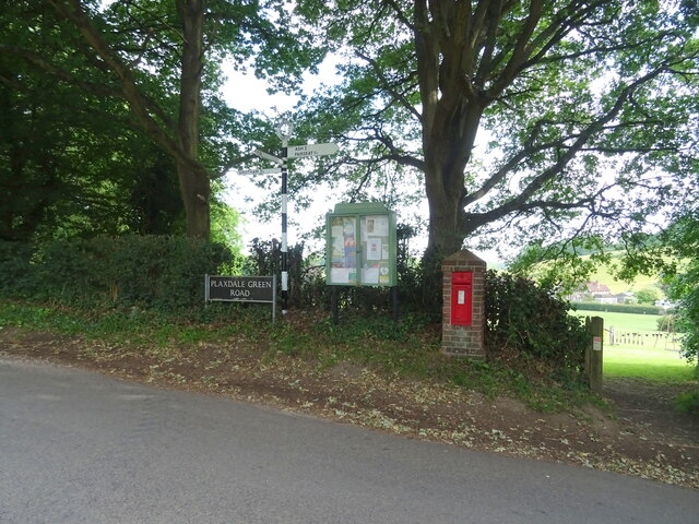
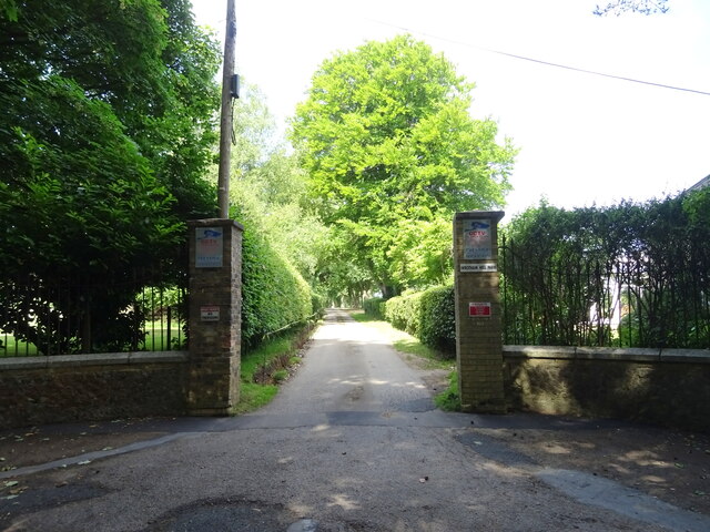
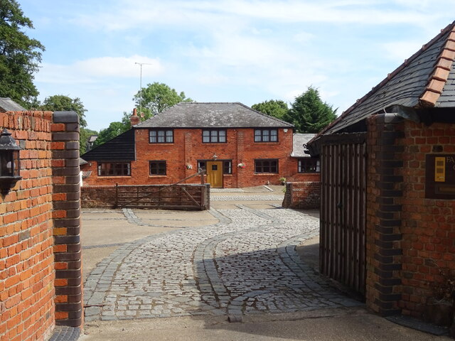
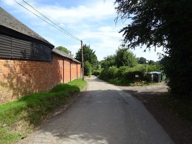
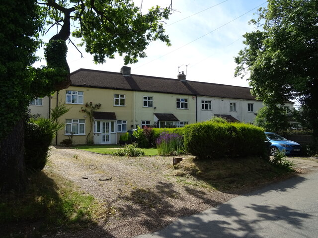
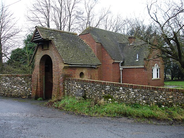
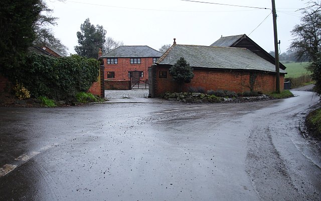
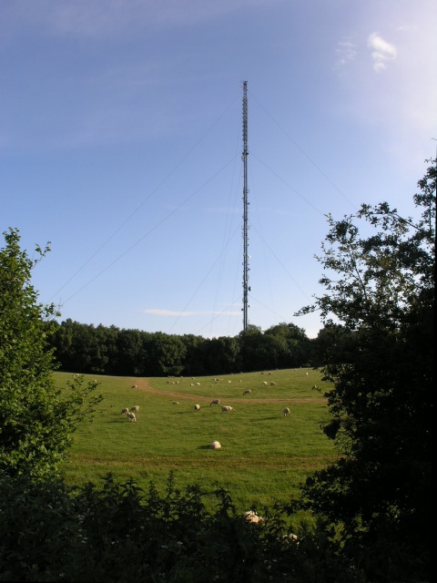
Round Wood Images

Images are sourced within 2km of 51.318174/0.3025884 or Grid Reference TQ6060. Thanks to Geograph Open Source API. All images are credited.

The Black Horse, Stansted On Tumblefield Road.
See <a href="https://www.geograph.org.uk/photo/7215275">TQ6062 : Sign for the Black Horse, Stansted</a> for pub sign.
The Black Horse, Stansted
On Tumblefield Road. See TQ6062 : Sign for the Black Horse, Stansted for pub sign.
Sign for the Black Horse, Stansted See <a href="https://www.geograph.org.uk/photo/7215274">TQ6062 : The Black Horse, Stansted</a> for context.
Sign for the Black Horse, Stansted
Tumblefield Road Heading south from Stansted.
Tumblefield Road
Heading south from Stansted.
Edward VII postbox, Old Post Office, Stansted Postbox No. DA15 235.
See <a href="https://www.geograph.org.uk/photo/7215688">TQ6062 : Old Post Office, Stansted</a> for context.
Edward VII postbox, Old Post Office, Stansted
Postbox No. DA15 235. See TQ6062 : Old Post Office, Stansted for context.
Old Post Office, Stansted Showing position of Postbox No. TN15 235.
See <a href="https://www.geograph.org.uk/photo/7215687">TQ6062 : Edward VII postbox, Old Post Office, Stansted</a> for postbox
Old Post Office, Stansted
Showing position of Postbox No. TN15 235. See TQ6062 : Edward VII postbox, Old Post Office, Stansted for postbox
Edward VII postbox on Plaxdale Green Road, Stansted Postbox No. TN15 234.
See <a href="https://www.geograph.org.uk/photo/7215704">TQ6062 : Plaxdale Green Road, Stansted</a> for context.
Edward VII postbox on Plaxdale Green Road, Stansted
Postbox No. TN15 234. See TQ6062 : Plaxdale Green Road, Stansted for context.
Plaxdale Green Road, Stansted Showing position of Postbox No. TN15 234.
See <a href="https://www.geograph.org.uk/photo/7215703">TQ6062 : Edward VII postbox on Plaxdale Green Road, Stansted</a> for postbox.
Plaxdale Green Road, Stansted
Showing position of Postbox No. TN15 234. See TQ6062 : Edward VII postbox on Plaxdale Green Road, Stansted for postbox.
Fairseat Lane towards Fairseat
Gateway to Wrotham Hill Park Off Fairseat Lane.
Gateway to Wrotham Hill Park
Off Fairseat Lane.
Fairseat Court Farm
Fairseat Court Farm
Platt House Lane Towards Fairseat.
Looking north beside Fairseat Court Farm.
Platt House Lane
Towards Fairseat. Looking north beside Fairseat Court Farm.
Houses on Platt House Lane
Platt House Lane, Fairseat Looking north.
Platt House Lane, Fairseat
Looking north.
A20 London Road below Wrotham Hill Viewpoint The viewpoint car park is closed and there is no access, although it is still possible to park in the lane outside.
A20 London Road below Wrotham Hill Viewpoint
The viewpoint car park is closed and there is no access, although it is still possible to park in the lane outside.
Stansted Church St Mary The Virgin, Stansted, with Fairseat and Vigo
Stansted Church
St Mary The Virgin, Stansted, with Fairseat and Vigo
Picnic Area A picnic area on the edge of the North Downs near M20, junction 2, which commands spectacular views over southern Kent.
Picnic Area
A picnic area on the edge of the North Downs near M20, junction 2, which commands spectacular views over southern Kent.
Chapel of the Holy Innocents, Fairseat A plaque on the side of the building says "Erected for the children of the convalescent home by Sir Philip Hickson Waterlow, Baronet. To the memory of his wife, his father & his mother and other relatives who lived at Fairseat. Consecrated by the Bishop of Rochester 20th August 1950"   The building stands next to Court House Farm. I can find no details of a convalescent home nearby.
Chapel of the Holy Innocents, Fairseat
A plaque on the side of the building says "Erected for the children of the convalescent home by Sir Philip Hickson Waterlow, Baronet. To the memory of his wife, his father & his mother and other relatives who lived at Fairseat. Consecrated by the Bishop of Rochester 20th August 1950" The building stands next to Court House Farm. I can find no details of a convalescent home nearby.
Wrotham Court Farm, Platt House Lane Marked on the map as Platt House Farm. The road to the left is signposted to Labour-in-Vain.
Wrotham Court Farm, Platt House Lane
Marked on the map as Platt House Farm. The road to the left is signposted to Labour-in-Vain.
Show me another place!

Round Wood is located at Grid Ref: TQ6060 (Lat: 51.318174, Lng: 0.3025884)

Administrative County: Kent

District: Tonbridge and Malling

Police Authority: Kent

What 3 Words

///longer.parks.intervals. Near Wrotham, Kent

Related Wikis

Wrotham transmitting station

The Wrotham transmitting station is located on the North Downs, close to the village of Wrotham in Kent, England and just north of the M20 motorway. Its...

Wrotham

Wrotham ( ROO-təm) is a village on the Pilgrims' Way in Kent, England, at the foot of the North Downs. It is 1 mile (1.6 km) north of Borough Green and...

Napps, Wrotham

Napps was a cricket ground at Wrotham in Kent. One match played on the ground was given retrospective first-class cricket status. This took place in 1815...

Stansted, Kent

Stansted (referred to in older texts as Stanstead) is a village and rural parish in the Tonbridge and Malling district of the county of Kent in the United...

Wrotham School

Wrotham School is a coeducational secondary school and sixth form with academy status, near Sevenoaks, Kent, England. It has about 760 registered students...

Borough Green & Wrotham railway station

Borough Green & Wrotham railway station is located in Borough Green in Kent, England. It is 29 miles 46 chains (47.6 km) down the line from London Victoria...

Trosley Country Park

Trosley Country Park is in Trottiscliffe, near Vigo, in Kent, England. Once part of a large woodland estate then after many changes, it was passed to Kent...

Borough Green

Borough Green is situated in the borough of Tonbridge and Malling in Kent, England. The central area is situated on the A25 road between Maidstone and...

Nearby Amenities

Located within 500m of 51.318174,0.3025884
Created By: YahooApplet 1.0
Lat/Long: 51.3164552/0.2966778
Created By: YahooApplet 1.0
Lat/Long: 51.3160662/0.297976
Created By: YahooApplet 1.0
Lat/Long: 51.3157511/0.2992206
Created By: YahooApplet 1.0
Lat/Long: 51.3153755/0.3009157
Created By: YahooApplet 1.0
Lat/Long: 51.3147988/0.3036516
Created By: YahooApplet 1.0
Lat/Long: 51.3144233/0.3054433
Created By: YahooApplet 1.0
Lat/Long: 51.317394/0.2958946
Created By: YahooApplet 1.0
Lat/Long: 51.317119/0.2963023
Created By: YahooApplet 1.0
Lat/Long: 51.3167234/0.2969568
Created By: YahooApplet 1.0
Lat/Long: 51.3164686/0.2973967
Phone
Emergency: phone
Lat/Long: 51.3155445/0.2987401
Barrier: stile
Foot: yes
Material: wood
Stile: stepover
Lat/Long: 51.316572/0.3084106
The data included in this document is from www.openstreetmap.org. The data is made available under ODbL.

Have you been to Round Wood?

Leave your review of Round Wood below (or comments, questions and feedback).