Gran's Plantation
Wood, Forest in Cambridgeshire East Cambridgeshire
England
Gran's Plantation

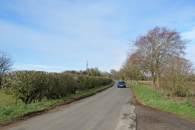
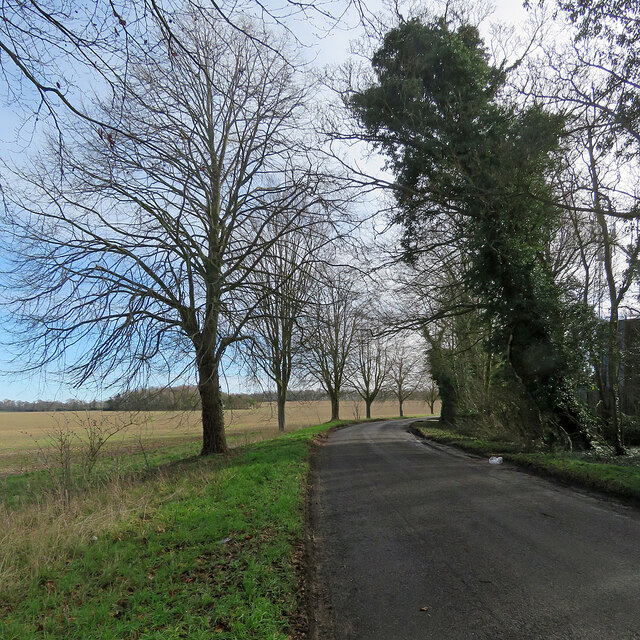
Gran's Plantation is a picturesque woodland located in Cambridgeshire, England. Covering an area of approximately 50 acres, it is a stunning example of a well-preserved forest ecosystem. The plantation is named after Gran, a local landowner who dedicated his efforts to preserving and nurturing the woodland.
The plantation is characterized by a diverse range of tree species, including oak, beech, ash, and birch, which create a dense canopy and provide a haven for a variety of wildlife. The forest floor is adorned with an array of native wildflowers, ferns, and mosses, adding to the enchanting atmosphere of the woodland.
Walking through Gran's Plantation, visitors can enjoy a network of well-maintained trails that wind through the trees, offering a peaceful and serene experience. The plantation is a popular destination for nature enthusiasts, hikers, and birdwatchers, who can spot a variety of bird species, including woodpeckers, owls, and songbirds.
In addition to its ecological importance, Gran's Plantation also holds historical significance. It is believed to have been a hunting ground for nobles during medieval times, and remnants of ancient pathways and stone walls can still be found within the woodland.
The plantation is managed by a dedicated team of conservationists who actively work to preserve the natural beauty and biodiversity of the area. They organize guided walks, educational programs, and tree planting initiatives to engage visitors and raise awareness about the importance of woodland conservation.
Gran's Plantation is a true gem of Cambridgeshire, offering a tranquil escape into nature and serving as a testament to the beauty and resilience of the region's woodlands.
If you have any feedback on the listing, please let us know in the comments section below.
Gran's Plantation Images
Images are sourced within 2km of 52.21044/0.34840925 or Grid Reference TL6059. Thanks to Geograph Open Source API. All images are credited.


Gran's Plantation is located at Grid Ref: TL6059 (Lat: 52.21044, Lng: 0.34840925)
Administrative County: Cambridgeshire
District: East Cambridgeshire
Police Authority: Cambridgeshire
What 3 Words
///vision.legs.cocoons. Near Newmarket, Suffolk
Nearby Locations
Related Wikis

Dullingham railway station
Dullingham is a railway station that serves the village of Dullingham in Cambridgeshire, England. It is about 1 mile (1.6 km) north-west of the centre...
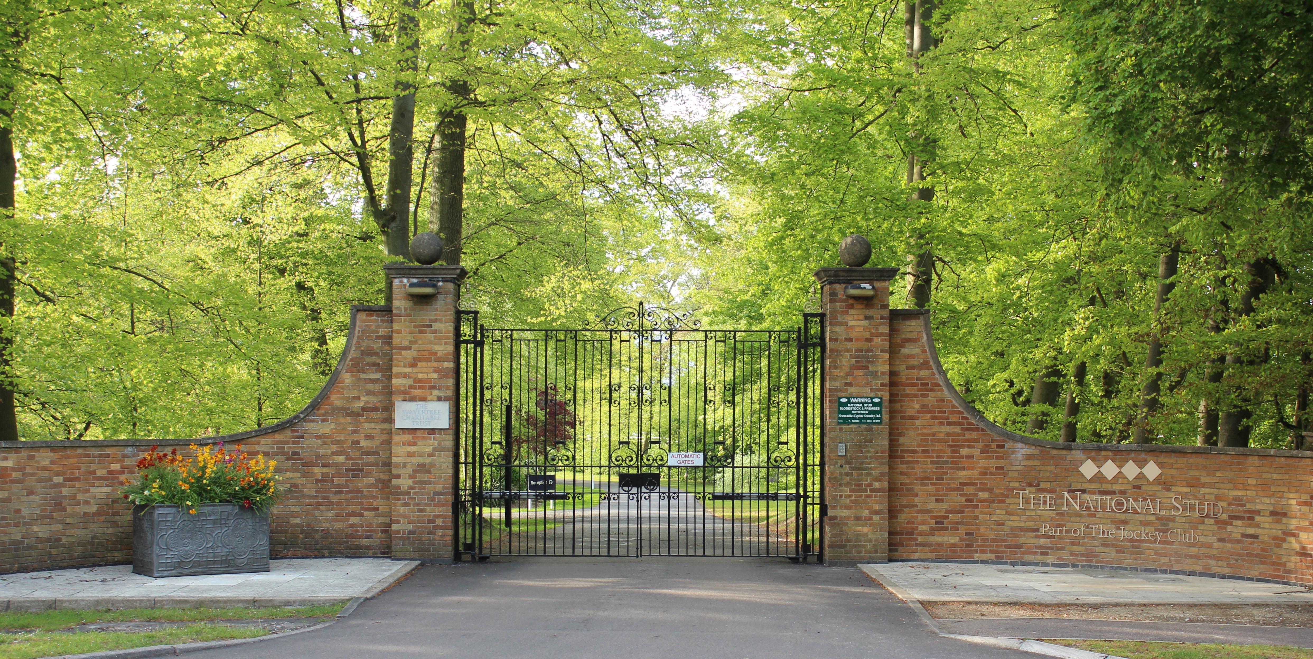
The National Stud
The National Stud is a United Kingdom Thoroughbred horse breeding farm located two miles from Newmarket. The Stud originated in 1916 as a result of a gift...

Devil's Dyke, Cambridgeshire
Devil's Dyke or Devil's Ditch is a linear earthen barrier, thought to be of Anglo-Saxon origin, in eastern Cambridgeshire and Suffolk. It runs for 11 kilometres...
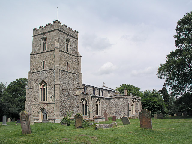
Dullingham
Dullingham is a small village and civil parish in East Cambridgeshire, England. It is situated 4 miles (6 km) south of Newmarket and 14 miles (23 km) east...

RAF Newmarket
RAF Newmarket was a Royal Air Force station located near Newmarket, Suffolk, England, near the border with Cambridgeshire. It was opened in 1939 and closed...

Six Mile Bottom
Six Mile Bottom is a hamlet within the parish of Little Wilbraham, near Cambridge in England. == Etymology == The hamlet was named in 1801, deriving its...

Westley Waterless
Westley Waterless is a small village and civil parish in East Cambridgeshire, England, 5 miles south west of Newmarket. == History == The parish of Westley...

Newmarket Heath
Newmarket Heath is a 279.3-hectare-large (690-acre) biological Site of Special Scientific Interest in Newmarket in Suffolk. It covers most of Newmarket...
Nearby Amenities
Located within 500m of 52.21044,0.34840925Have you been to Gran's Plantation?
Leave your review of Gran's Plantation below (or comments, questions and feedback).