Leys Shaw
Wood, Forest in Kent Tonbridge and Malling
England
Leys Shaw
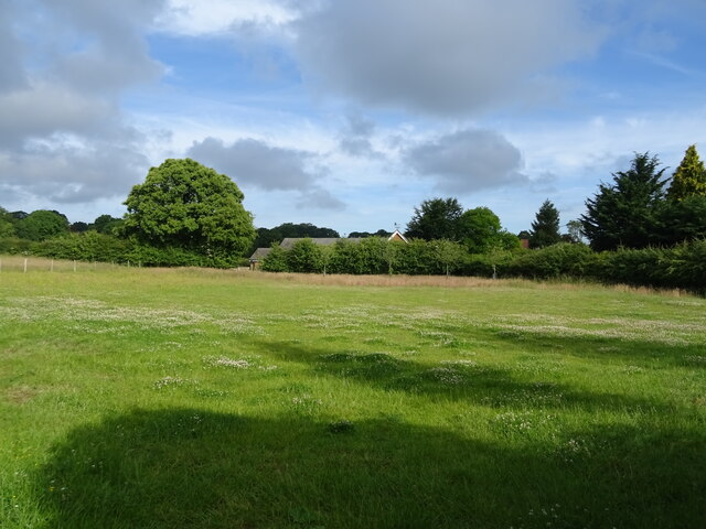
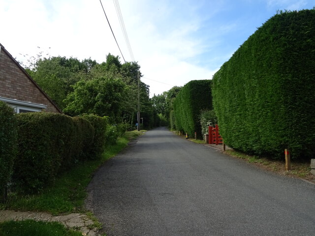
Leys Shaw, located in Kent, England, is a picturesque woodland area known for its natural beauty and abundant wildlife. The shaw, which is another word for a small wood or forest, covers an area of approximately 200 acres and is a popular destination for nature enthusiasts and hikers.
The woodland is characterized by a mix of deciduous and evergreen trees, including oak, beech, and pine, which create a diverse and vibrant ecosystem. The dense canopy provides shelter and food for a variety of bird species, making it a haven for birdwatchers.
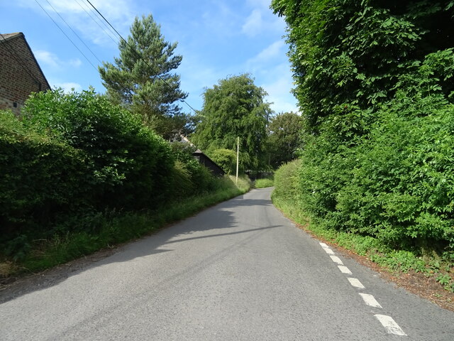
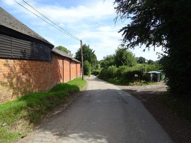
Leys Shaw is crisscrossed by a network of well-maintained footpaths, enabling visitors to explore the woods and immerse themselves in the tranquility of nature. The paths wind through the trees, offering glimpses of wildflowers, ferns, and moss-covered rocks along the way.
One of the highlights of Leys Shaw is its rich biodiversity. The woodland is home to numerous mammals, such as deer, foxes, and badgers, as well as smaller creatures like squirrels and rabbits. Bird species such as woodpeckers, owls, and thrushes can be spotted throughout the year, with the spring and summer months bringing an array of migratory birds.
Leys Shaw is also a great place for nature education and conservation efforts. Local conservation groups organize guided walks and educational programs to raise awareness about the importance of preserving and protecting the woodlands and its inhabitants.
Overall, Leys Shaw in Kent is a stunning woodland area that offers a peaceful retreat from the hustle and bustle of everyday life. Its natural beauty and diverse wildlife make it a must-visit destination for nature lovers and those seeking solace in the great outdoors.
If you have any feedback on the listing, please let us know in the comments section below.
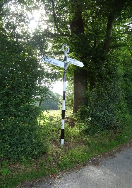
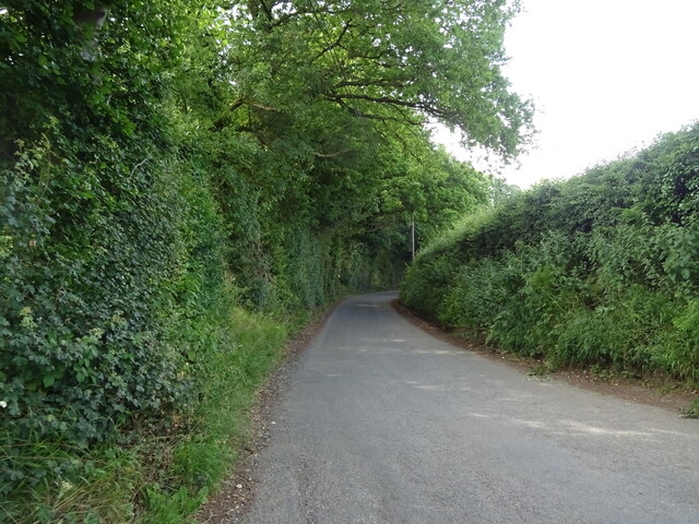
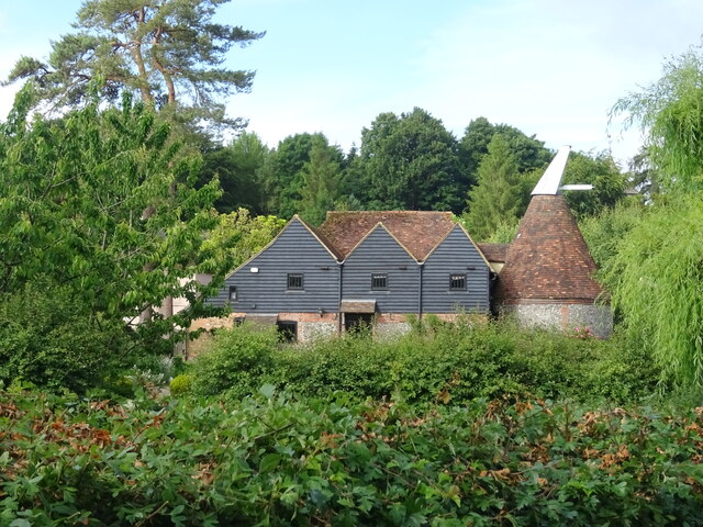
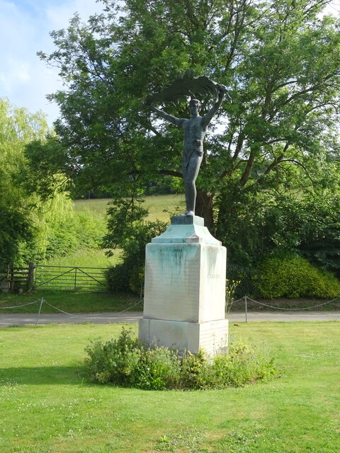
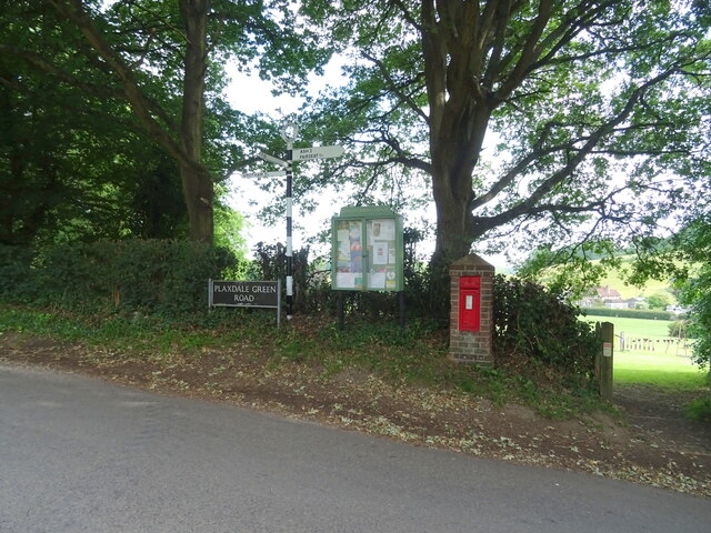
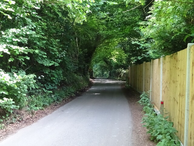
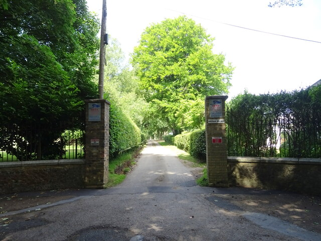
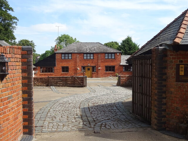
Leys Shaw Images
Images are sourced within 2km of 51.320416/0.30291597 or Grid Reference TQ6060. Thanks to Geograph Open Source API. All images are credited.
Leys Shaw is located at Grid Ref: TQ6060 (Lat: 51.320416, Lng: 0.30291597)
Administrative County: Kent
District: Tonbridge and Malling
Police Authority: Kent
What 3 Words
///among.voting.achieving. Near Wrotham, Kent
Nearby Locations
Related Wikis
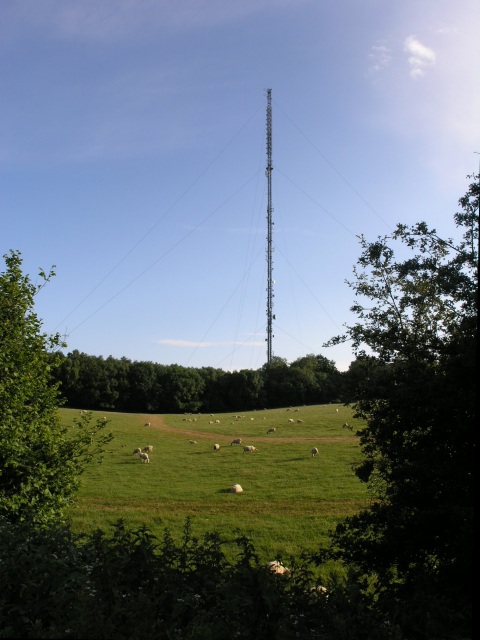
Wrotham transmitting station
The Wrotham transmitting station is located on the North Downs, close to the village of Wrotham in Kent, England and just north of the M20 motorway. Its...

Wrotham
Wrotham ( ROO-təm) is a village on the Pilgrims' Way in Kent, England, at the foot of the North Downs. It is 1 mile (1.6 km) north of Borough Green and...

Napps, Wrotham
Napps was a cricket ground at Wrotham in Kent. One match played on the ground was given retrospective first-class cricket status. This took place in 1815...
Stansted, Kent
Stansted (referred to in older texts as Stanstead) is a village and rural parish in the Tonbridge and Malling district of the county of Kent in the United...
Nearby Amenities
Located within 500m of 51.320416,0.30291597Have you been to Leys Shaw?
Leave your review of Leys Shaw below (or comments, questions and feedback).