Clapsons Shaw
Wood, Forest in Sussex Wealden
England
Clapsons Shaw
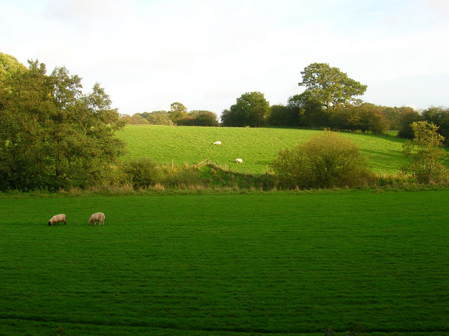
Clapsons Shaw is a picturesque woodland area located in Sussex, England. Situated within the larger Forest of Sussex, this wood offers a unique and enchanting experience for nature enthusiasts and outdoor lovers alike.
Covering an area of approximately 100 acres, Clapsons Shaw boasts a diverse range of tree species, including oak, ash, beech, and chestnut. The towering trees create a dense canopy, providing a habitat for various wildlife species such as deer, foxes, and a myriad of bird species. The forest floor is carpeted with a rich undergrowth of ferns, bluebells, and wildflowers, adding to the area's natural beauty.
Tranquil walking trails meander through Clapsons Shaw, allowing visitors to immerse themselves in the woodland's serenity. The paths are well-maintained, making it accessible for all ages and abilities. Along the way, informative signposts provide interesting facts about the trees, plants, and animals that call this wood their home.
For those interested in history, Clapsons Shaw holds cultural significance as it is believed to have been a source of timber for shipbuilding during the Elizabethan era. The wood's name itself is derived from the Clapson family, who were once prominent landowners in the area.
Clapsons Shaw is a popular destination for nature walks, birdwatching, and picnicking. It offers a peaceful retreat from the hustle and bustle of everyday life, where visitors can reconnect with nature and enjoy the beauty of Sussex's woodlands.
If you have any feedback on the listing, please let us know in the comments section below.
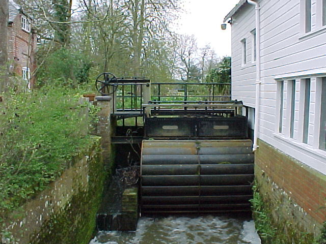
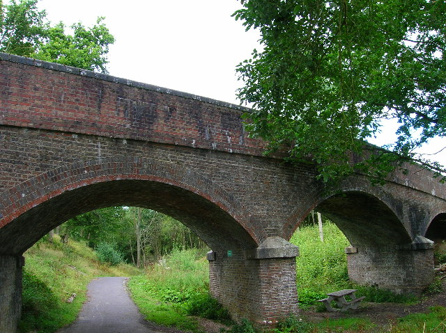
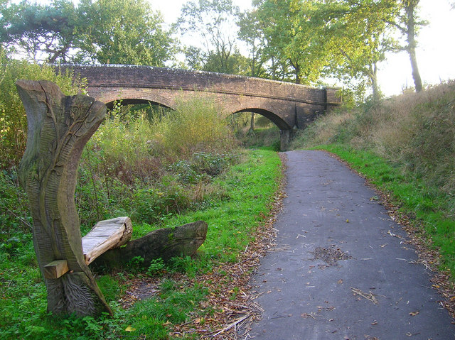
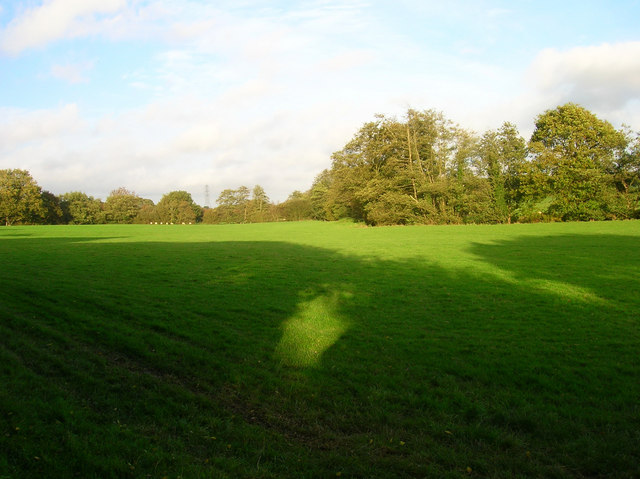
Clapsons Shaw Images
Images are sourced within 2km of 50.896674/0.27813372 or Grid Reference TQ6013. Thanks to Geograph Open Source API. All images are credited.


Clapsons Shaw is located at Grid Ref: TQ6013 (Lat: 50.896674, Lng: 0.27813372)
Administrative County: East Sussex
District: Wealden
Police Authority: Sussex
What 3 Words
///deployed.regretted.backdrop. Near Herstmonceux, East Sussex
Nearby Locations
Related Wikis

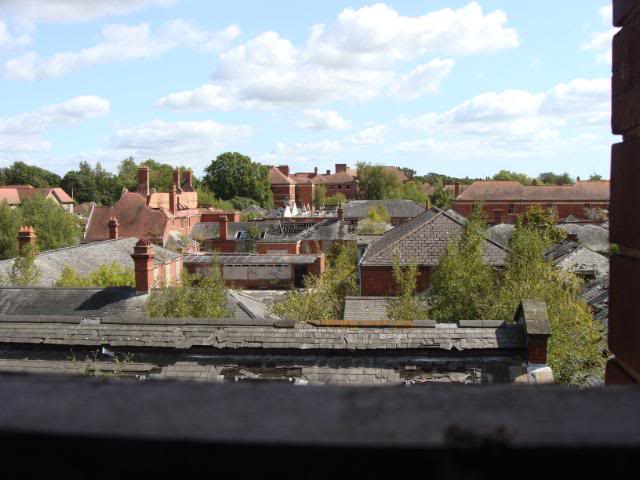
Hellingly Hospital
Hellingly Hospital, formerly the East Sussex County Asylum, was a large psychiatric hospital close to the village of Hellingly, east of Hailsham, in the...
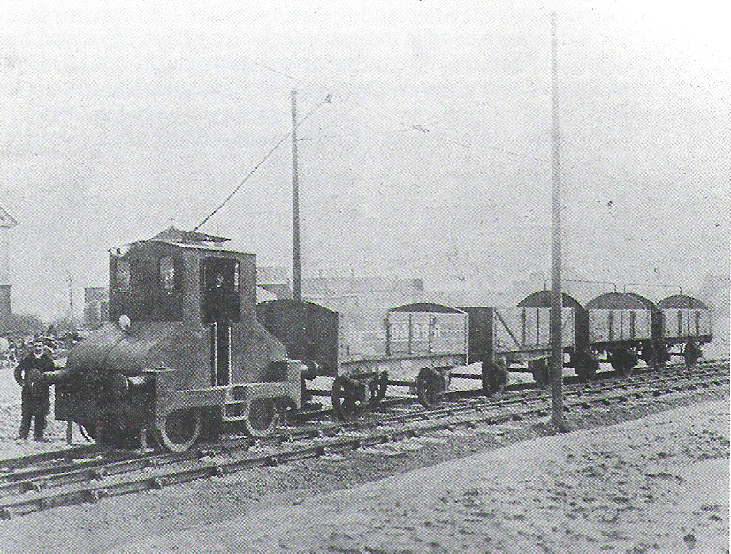
Hellingly Hospital Railway
The Hellingly Hospital Railway was a light railway owned and operated by East Sussex County Council, used for transporting coal and passengers to Hellingly...

Magham Down Manor House
Magham Down Manor House is a Grade II listed building in Magham Down in the Wealden district of East Sussex. == External links == Entry on Historic England...
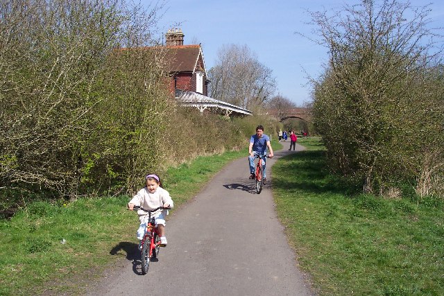
Cuckoo Trail
The Cuckoo Trail is a 14-mile (23 km) footpath and cycleway which runs from Hampden Park to Heathfield in East Sussex. It passes through the towns of Polegate...
Magham Down
Magham Down is a village between Herstmonceux and Hailsham in the Wealden district of East Sussex. It lies on the A271 road. It has a Grade II listed building...
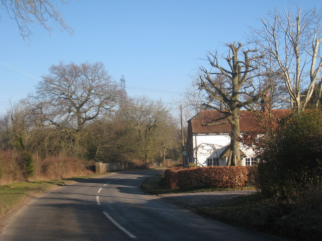
Cowbeech
Cowbeech is a small village in the civil parish of Herstmonceux in the Wealden district of East Sussex, England. Its nearest town is Hailsham, which lies...

Hellingly
Hellingly (pronounced 'Helling-lye') is a village, and can also refer to a civil parish, and to a district ward, in the Wealden District of East Sussex...

Hellingly railway station
Hellingly was a railway station on the now closed Polegate to Eridge line (the Cuckoo Line) in East Sussex. It served the village of Hellingly. ��2�...
Nearby Amenities
Located within 500m of 50.896674,0.27813372Have you been to Clapsons Shaw?
Leave your review of Clapsons Shaw below (or comments, questions and feedback).