Barelands Shaw
Wood, Forest in Sussex Wealden
England
Barelands Shaw
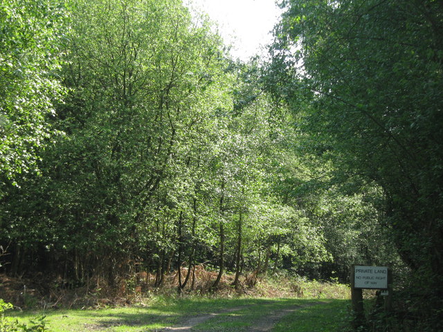
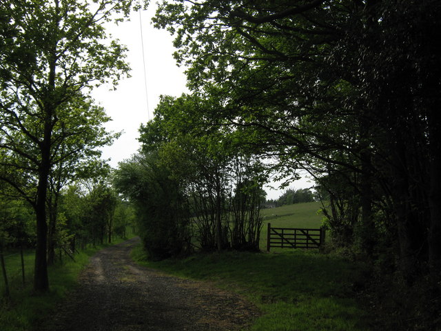
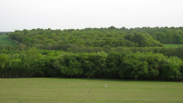
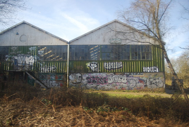
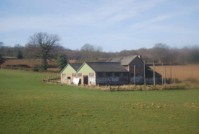
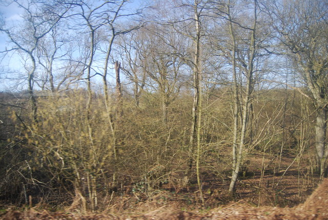
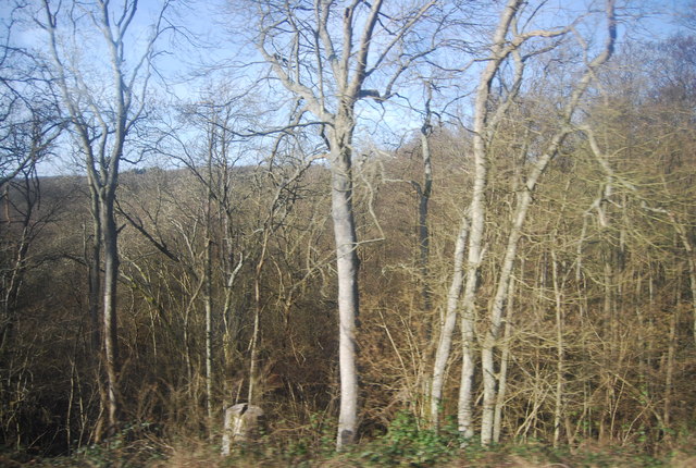
Barelands Shaw, located in Sussex, England, is a picturesque woodland area renowned for its natural beauty and diverse ecosystem. Spanning over a vast expanse, it serves as a haven for flora and fauna alike. The name "Barelands Shaw" derives from the combination of "barelands," referring to the open spaces within the woodland, and "shaw," meaning a small wood or grove.
The woodland is characterized by a mix of deciduous and coniferous trees, including oak, beech, birch, and pine, creating a rich tapestry of colors throughout the seasons. The variety of tree species supports a thriving wildlife population, attracting a wide range of birds, mammals, and insects. Visitors to Barelands Shaw can often spot deer, foxes, badgers, and an array of bird species, such as woodpeckers, jays, and owls.
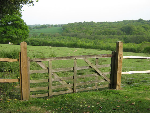
Tranquil walking trails wind through the woodland, providing a serene and immersive experience for nature enthusiasts and hikers. These paths offer the opportunity to explore the diverse plant life, including bluebells, wild garlic, and ferns, which flourish beneath the canopy.
Barelands Shaw also plays a vital role in conserving the local environment. The woodland acts as a carbon sink, helping to mitigate climate change, and provides a natural habitat for endangered and protected species. Conservation efforts are in place to maintain the delicate balance of the ecosystem, ensuring its preservation for future generations.
Overall, Barelands Shaw in Sussex is a cherished natural gem, offering a peaceful retreat for those seeking solace in nature, while also providing a vital ecosystem that supports a multitude of plants and animals.
If you have any feedback on the listing, please let us know in the comments section below.
Barelands Shaw Images
Images are sourced within 2km of 51.092416/0.29271142 or Grid Reference TQ6035. Thanks to Geograph Open Source API. All images are credited.

Barelands Shaw is located at Grid Ref: TQ6035 (Lat: 51.092416, Lng: 0.29271142)
Administrative County: East Sussex
District: Wealden
Police Authority: Sussex
What 3 Words
///undulation.cowboy.label. Near Wadhurst, East Sussex
Nearby Locations
Related Wikis

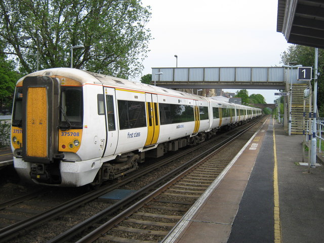
Frant railway station
Frant railway station is on the Hastings line in East Sussex, England, and serves the civil parish of Frant (although the station is actually located some...

Frant
Frant is a village and civil parish in the Wealden District of East Sussex, England, on the Kentish border about three miles (5 km) south of Royal Tunbridge...

St Alban's Church, Frant
St Alban's Church is a Church of England parish church in Frant, East Sussex, England. It was built in 1819–22 in a fifteenth-century gothic revival style...

Wadhurst railway station
Wadhurst railway station is on the Hastings line in the south of England and serves the town of Wadhurst, East Sussex. It is 39 miles 23 chains (63.2 km...

Best Beech Hill
Best Beech Hill is a locality in the civil parish of Wadhurst in the Wealden district of East Sussex, England. Wadhurst lies approximately 1.6 miles...

Kent and Sussex Crematorium and Cemetery
The Kent and Sussex Crematorium and Cemetery is a crematorium and cemetery located in Royal Tunbridge Wells in the county of Kent, England. == Background... ==

Eridge Park
Eridge Park () is a village and historic park located north of the parish of Rotherfield, to the north-east of Crowborough in East Sussex, England. The...

Hawkenbury, Tunbridge Wells
Hawkenbury is a small village area located in the south east of Royal Tunbridge Wells, Kent, England. == History == Hawkenbury was settled before Tunbridge...
Nearby Amenities
Located within 500m of 51.092416,0.29271142Have you been to Barelands Shaw?
Leave your review of Barelands Shaw below (or comments, questions and feedback).