East Wood
Wood, Forest in Sussex Wealden
England
East Wood
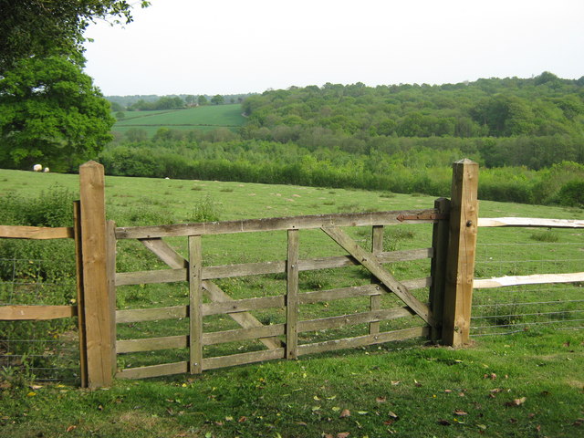
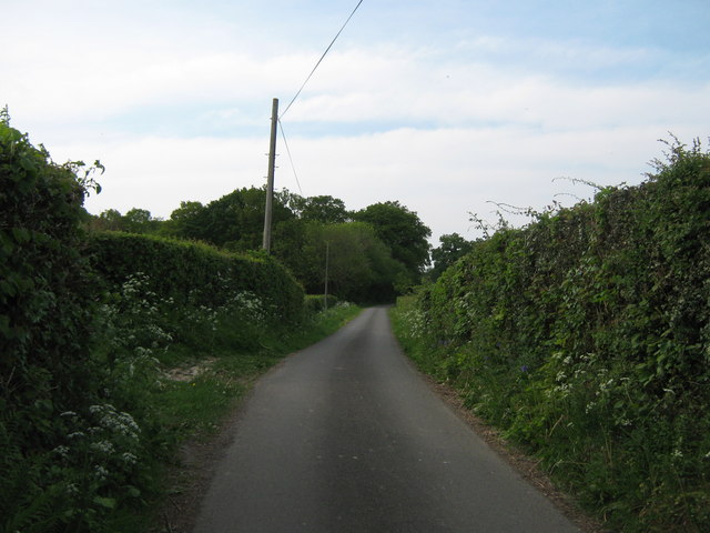
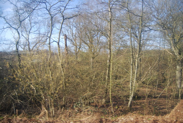
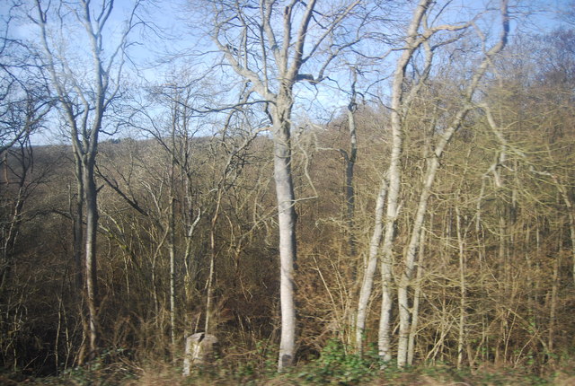
East Wood is a picturesque forest located in the county of Sussex, in the southeast of England. It is known for its stunning natural beauty and rich biodiversity, attracting nature enthusiasts and outdoor adventurers alike. The forest covers an area of approximately 1,000 acres and is characterized by a diverse range of trees, including oak, beech, and birch.
The woodland is home to a variety of wildlife, providing a habitat for numerous species of birds, mammals, and insects. Visitors can often spot deer, foxes, and squirrels, as well as an array of bird species such as woodpeckers and owls. Nature lovers can explore the forest through its well-maintained walking trails and enjoy the peaceful ambiance it offers.
East Wood offers a tranquil escape from the hustle and bustle of city life, providing a perfect setting for recreational activities such as hiking, cycling, and picnicking. The forest is equipped with picnic areas, and there are designated spots for camping and barbecuing, allowing visitors to make the most of their outdoor experience.
In addition to its natural beauty, East Wood is also a site of historical significance. It is believed to have been inhabited since ancient times, and remnants of Iron Age settlements have been discovered within its boundaries. The forest has witnessed centuries of human activities, and remnants of old pathways and boundaries can still be found, offering a glimpse into its rich cultural heritage.
Overall, East Wood in Sussex is a captivating destination, offering a blend of natural splendor, wildlife diversity, and historical intrigue. It is a perfect place for both relaxation and exploration, providing an immersive experience in the heart of nature.
If you have any feedback on the listing, please let us know in the comments section below.
East Wood Images
Images are sourced within 2km of 51.093226/0.28579625 or Grid Reference TQ6035. Thanks to Geograph Open Source API. All images are credited.


East Wood is located at Grid Ref: TQ6035 (Lat: 51.093226, Lng: 0.28579625)
Administrative County: East Sussex
District: Wealden
Police Authority: Sussex
What 3 Words
///gear.scans.horn. Near Royal Tunbridge Wells, Kent
Nearby Locations
Related Wikis

Frant
Frant is a village and civil parish in the Wealden District of East Sussex, England, on the Kentish border about three miles (5 km) south of Royal Tunbridge...

St Alban's Church, Frant
St Alban's Church is a Church of England parish church in Frant, East Sussex, England. It was built in 1819–22 in a fifteenth-century gothic revival style...

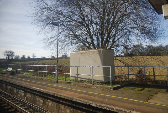
Frant railway station
Frant railway station is on the Hastings line in East Sussex, England, and serves the civil parish of Frant (although the station is actually located some...

Kent and Sussex Crematorium and Cemetery
The Kent and Sussex Crematorium and Cemetery is a crematorium and cemetery located in Royal Tunbridge Wells in the county of Kent, England. == Background... ==

Eridge Park
Eridge Park () is a village and historic park located north of the parish of Rotherfield, to the north-east of Crowborough in East Sussex, England. The...

Wadhurst railway station
Wadhurst railway station is on the Hastings line in the south of England and serves the town of Wadhurst, East Sussex. It is 39 miles 23 chains (63.2 km...

Best Beech Hill
Best Beech Hill is a locality in the civil parish of Wadhurst in the Wealden district of East Sussex, England. Wadhurst lies approximately 1.6 miles...

Hawkenbury, Tunbridge Wells
Hawkenbury is a small village area located in the south east of Royal Tunbridge Wells, Kent, England. == History == Hawkenbury was settled before Tunbridge...
Nearby Amenities
Located within 500m of 51.093226,0.28579625Have you been to East Wood?
Leave your review of East Wood below (or comments, questions and feedback).