Crofts Wood
Wood, Forest in Cambridgeshire South Cambridgeshire
England
Crofts Wood
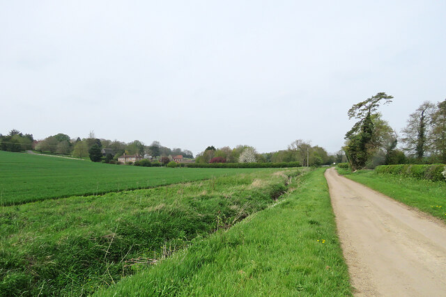
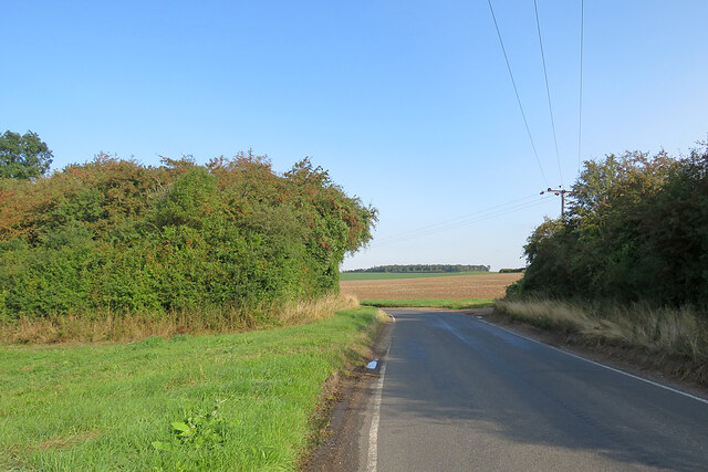
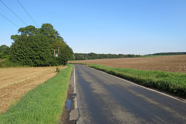
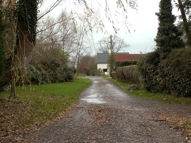
Crofts Wood is a picturesque forest located in the county of Cambridgeshire, England. Covering an area of approximately 100 acres, it is known for its diverse range of plant and animal species, making it a popular destination for nature enthusiasts and hikers.
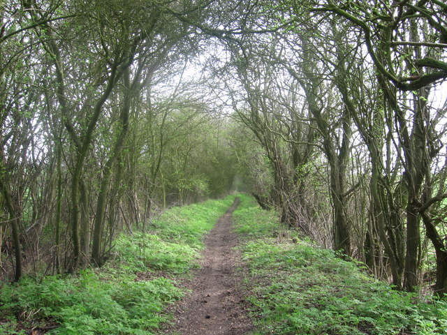
The wood is primarily composed of broadleaf trees, including oak, ash, and birch, with some coniferous species such as pine and spruce. The dense foliage provides a sheltered habitat for a variety of wildlife, including deer, foxes, badgers, and numerous species of birds. The forest floor is adorned with a carpet of wildflowers during the spring and summer months, adding to the natural beauty of the surroundings.
Several well-marked trails crisscross the wood, offering visitors the opportunity to explore its enchanting landscapes. These trails cater to different levels of fitness and are suitable for both casual strolls and more challenging hikes. Along the way, hikers can enjoy breathtaking views of the surrounding countryside and may even chance upon hidden streams or ponds.
Crofts Wood also holds historical significance, with remnants of ancient settlements and archaeological sites scattered throughout the area. These relics serve as a reminder of the wood's rich past, adding an extra layer of intrigue to an already captivating destination.
Overall, Crofts Wood in Cambridgeshire is a captivating forest that showcases the beauty of nature and offers a peaceful retreat for those seeking respite from the hustle and bustle of everyday life.
If you have any feedback on the listing, please let us know in the comments section below.
Crofts Wood Images
Images are sourced within 2km of 52.096418/0.33660361 or Grid Reference TL6046. Thanks to Geograph Open Source API. All images are credited.
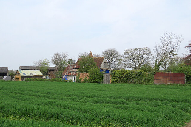
![Horseheath: the rear of Hartford House "House, formerly rectory, c 1700, extended on west side C19. Timber-framed [and] plaster rendered with hipped tiled roof and wood eaves" (Grade II listing). The picture was taken from All Saints' churchyard as a spring morning turned cloudy.](https://s0.geograph.org.uk/geophotos/07/46/96/7469652_da1c05bb.jpg)
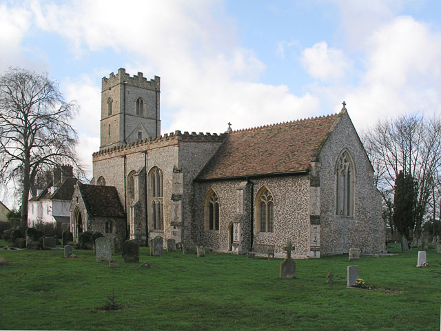
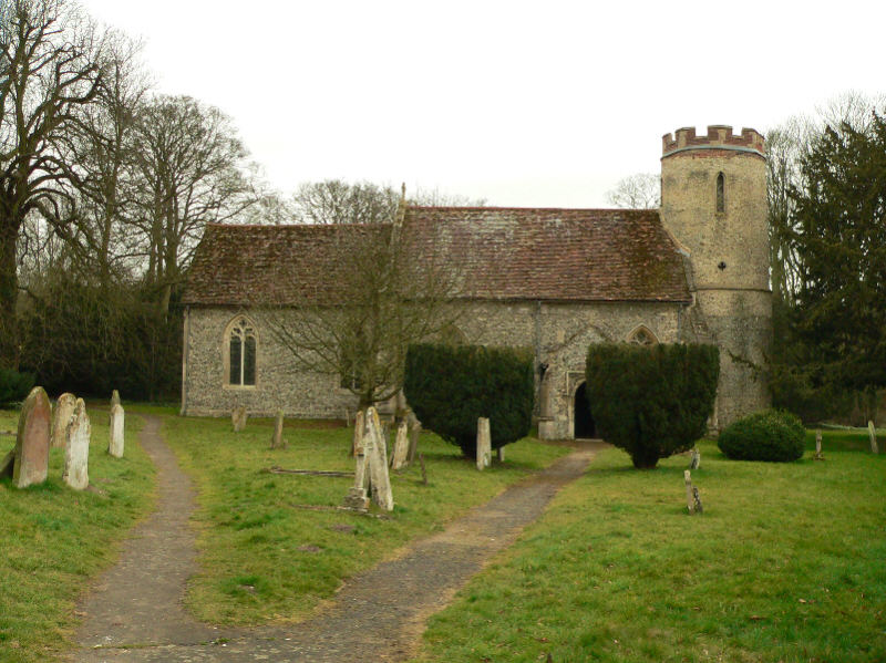
![Horseheath: All Saints - north side The church dates from the 14th and 15th centuries and was much restored in the 19th. "Nave without aisles Perp, a fine impression inside, with very large three-light transomed windows - a veritable glasshouse. The height of the nave was brought down [see evidence of the former roof line on the east wall of the tower] and brick battlements put up" (Nikolaus Pevsner).](https://s0.geograph.org.uk/geophotos/07/46/96/7469668_283c07e3.jpg)
![Horseheath: All Saints - south side The church dates from the 14th and 15th centuries and was much restored in the 19th. "Nave without aisles Perp, a fine impression inside, with very large three-light transomed windows - a veritable glasshouse. The height of the nave was brought down [see evidence of the former roof line on the east wall of the tower] and brick battlements put up" (Nikolaus Pevsner).](https://s0.geograph.org.uk/geophotos/07/46/96/7469672_b4f18483.jpg)
Crofts Wood is located at Grid Ref: TL6046 (Lat: 52.096418, Lng: 0.33660361)
Administrative County: Cambridgeshire
District: South Cambridgeshire
Police Authority: Cambridgeshire
What 3 Words
///riverboat.whoever.wager. Near Linton, Cambridgeshire
Nearby Locations
Related Wikis

Horseheath
Horseheath is a village in Cambridgeshire, England, situated a few miles south-east of Cambridge, between Linton and Haverhill, on the A1307 road. It was...
Bartlow
Bartlow is a small village and civil parish in the South Cambridgeshire district of Cambridgeshire, England, about 12 miles (19 km) south-east of Cambridge...
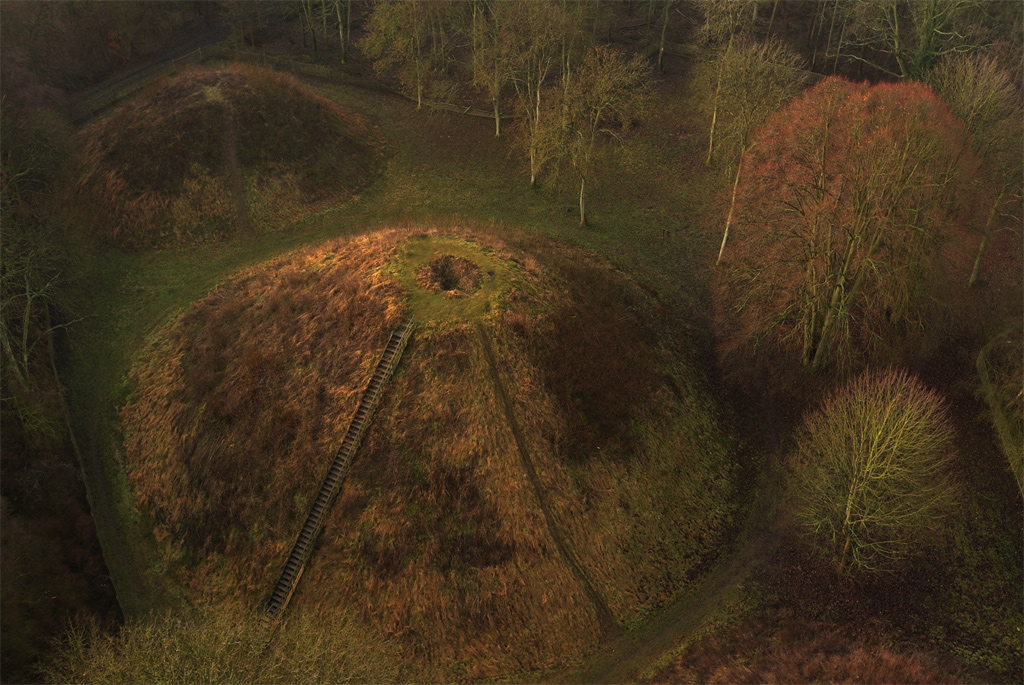
Bartlow Hills
Bartlow Hills is a Roman tumuli cemetery in Bartlow, Cambridgeshire, England. The site was in Essex until a boundary alteration in 1990. Four of the original...
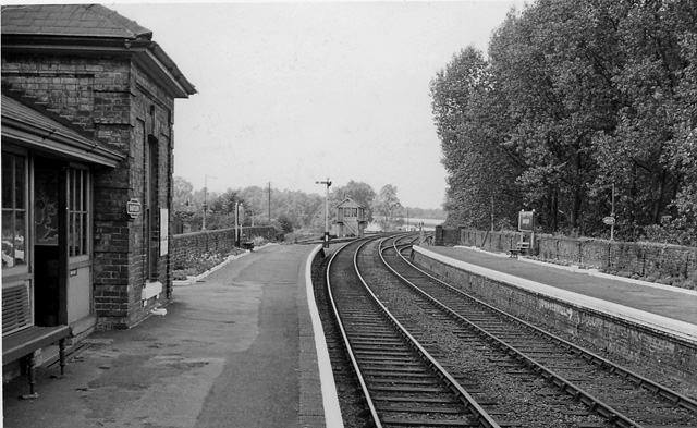
Bartlow railway station
Bartlow railway station was a station in Bartlow, Cambridgeshire on the Stour Valley Railway at the junction with the Saffron Walden Railway. There were...

Barham Friary
Barham Friary was a Crutched Friars friary in Linton, Cambridgeshire, England. It was established around 1272 and was dissolved in 1538. == References ==
West Wickham, Cambridgeshire
West Wickham is a village and civil parish in South Cambridgeshire, England, 10 miles south-east of Cambridge on the border with Suffolk. == History... ==
Balsham Wood
Balsham Wood is a 35 hectare biological Site of Special Scientific Interest south of Balsham in Cambridgeshire.This site has one of the last surviving...

Rivey Hill
Rivey Hill is a hill overlooking Linton in Cambridgeshire, England (grid reference TL567480). At 367 feet (112 m) it is the highest point for several miles...
Have you been to Crofts Wood?
Leave your review of Crofts Wood below (or comments, questions and feedback).