Labby Green
Settlement in Hertfordshire East Hertfordshire
England
Labby Green
Labby Green is a small village located in the county of Hertfordshire, England. It is situated approximately 30 miles north of central London and lies within the local government district of East Hertfordshire. With a population of around 500 residents, Labby Green boasts a close-knit community and a peaceful rural setting.
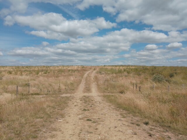
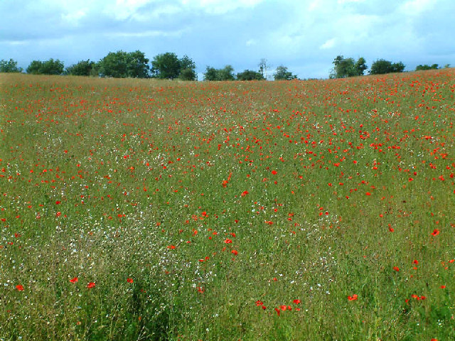
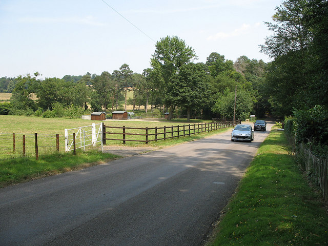
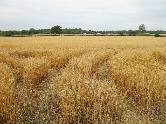
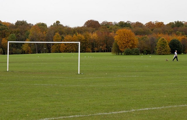
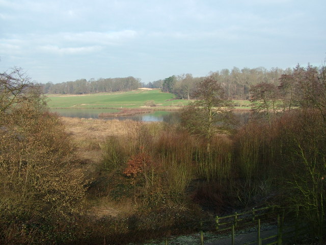
The village is characterized by its picturesque countryside, with rolling green fields and charming country lanes. It is surrounded by farmland, making it an ideal location for those seeking a quiet and idyllic lifestyle away from the hustle and bustle of city living.
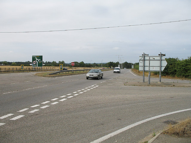
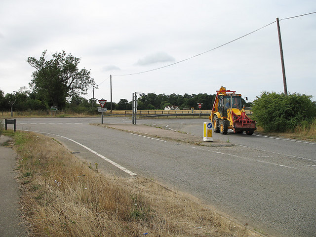
Labby Green is well-connected to nearby towns and cities, with easy access to major transport links such as the A10 road and the nearby railway station in Hertford. This makes it convenient for residents to commute to work or access amenities in neighboring areas.
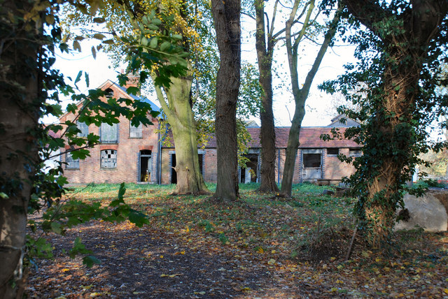
Despite its small size, Labby Green has a strong sense of community and offers a range of local facilities. These include a village hall, a primary school, and a local pub, which serves as a hub for socializing and community gatherings.
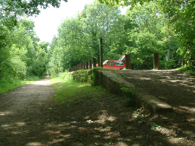
The village is also surrounded by a number of attractions and recreational opportunities. The nearby countryside offers plenty of opportunities for outdoor activities such as hiking, cycling, and horse riding. Historic sites such as Hertford Castle and Hatfield House are also within close proximity, providing cultural and historical points of interest for residents and visitors alike.
Overall, Labby Green offers a tranquil and friendly environment, making it an appealing place to live for those seeking a rural lifestyle with easy access to nearby amenities.
If you have any feedback on the listing, please let us know in the comments section below.
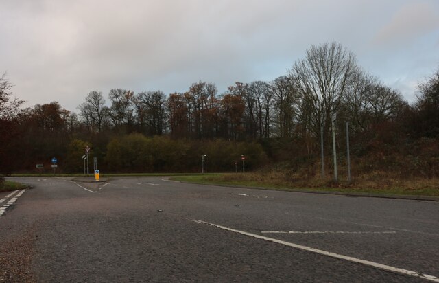
Labby Green Images
Images are sourced within 2km of 51.784429/-0.14043059 or Grid Reference TL2811. Thanks to Geograph Open Source API. All images are credited.

Labby Green is located at Grid Ref: TL2811 (Lat: 51.784429, Lng: -0.14043059)
Administrative County: Hertfordshire
District: East Hertfordshire
Police Authority: Hertfordshire
What 3 Words
///moss.lend.fingernails. Near Hertford, Hertfordshire
Nearby Locations
Related Wikis

Cole Green railway station
Cole Green railway station was a station at Cole Green, Hertfordshire, England, on the Hertford and Welwyn Junction Railway. It was a passenger station...

Letty Green
Letty Green is a village in the parish of Hertingfordbury, Hertfordshire, England. St John’s Church, Letty Green, the deconsecrated former parish church...
Cole Green, Hertfordshire
Cole Green is a hamlet in Hertfordshire, England. It is 1 mile (1.6 km) south-east of Welwyn Garden City just off the A414. It is in the Hertingfordbury...

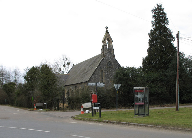
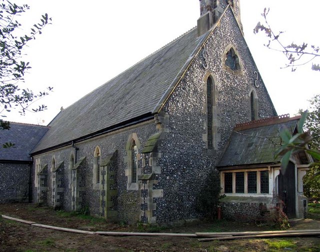
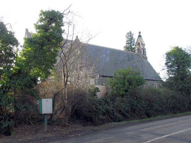
St John's Church, Letty Green
St John's Church, Letty Green, is a deconsecrated Gothic Revival church in Letty Green, Hertfordshire, England. The building was designed by George Fowler...
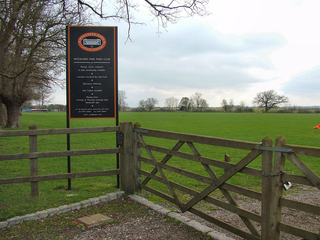
Woolmers Park
Woolmers Park is a Grade II* listed building in Hertfordshire, England. It was the residence of Claude Bowes-Lyon, 14th Earl of Strathmore and Kinghorne...

Pishiobury
Pishiobury, sometimes spelled Pishobury, was a manor and estate in medieval Sawbridgeworth, Hertfordshire. Its denomination as "Pishiobury" only emerged...

Panshanger
Panshanger was a large country house located between the outer edge of Hertford and Welwyn Garden City in Hertfordshire, England. == History == Earl Cowper...
Hatfield Hyde Halt railway station
Hatfield Hyde Halt was a halt-layout railway station. The station was part of the Hertford and Welwyn Junction Railway, near the garden city of Welwyn...
Nearby Amenities
Located within 500m of 51.784429,-0.14043059Have you been to Labby Green?
Leave your review of Labby Green below (or comments, questions and feedback).