Hertingfordbury

Civil Parish in Hertfordshire East Hertfordshire

England

Hertingfordbury

St Mary's Church, Hertingfordbury
St Mary's Church, Hertingfordbury Credit: David Howard

Hertingfordbury is a civil parish located in Hertfordshire, England. It is situated about two miles east of Hertford town, nestled in the valley of the River Lea. The parish covers an area of approximately 1.5 square miles and is home to a population of around 700 residents.

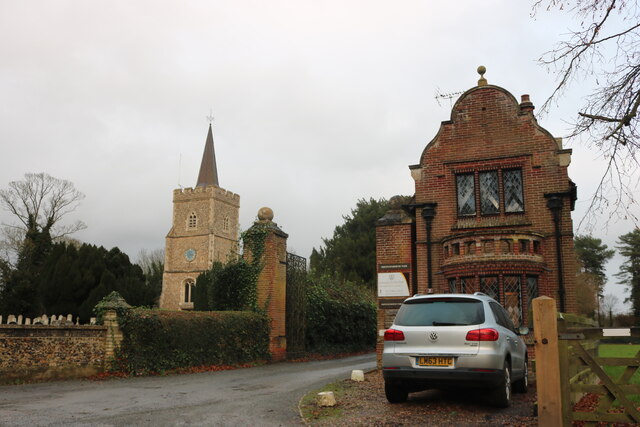
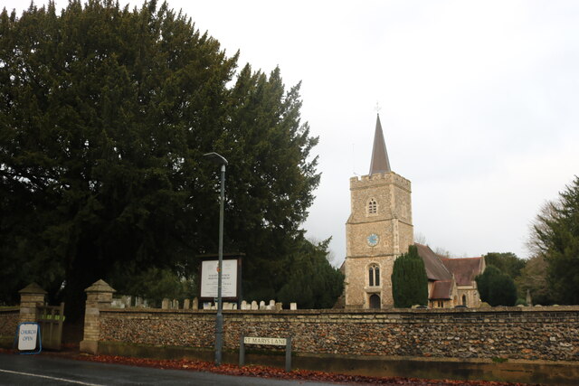
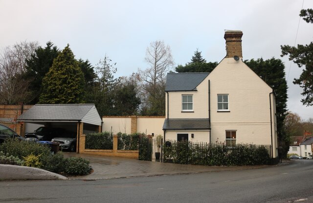
The village of Hertingfordbury is known for its picturesque and charming setting, with a mix of historic buildings and modern developments. The village is primarily residential, with a scattering of small businesses and amenities to cater to the local community. The heart of the village is centered around St. Mary's Church, a Grade II listed building that dates back to the 12th century.

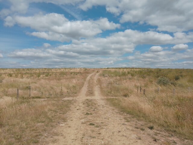
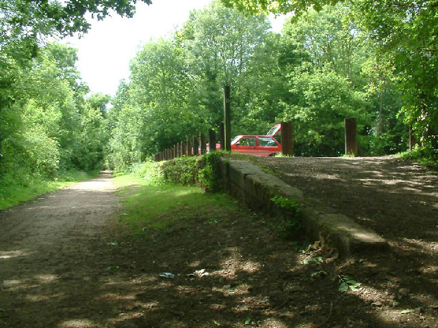
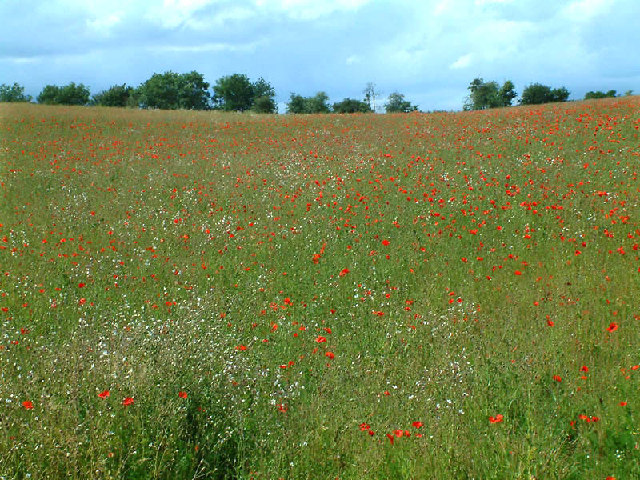
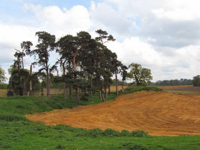
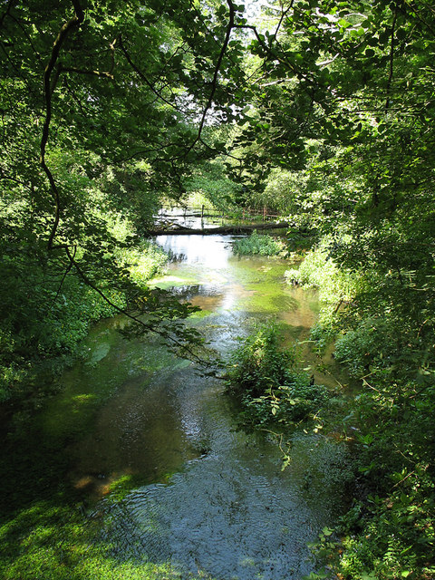
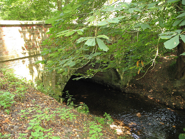
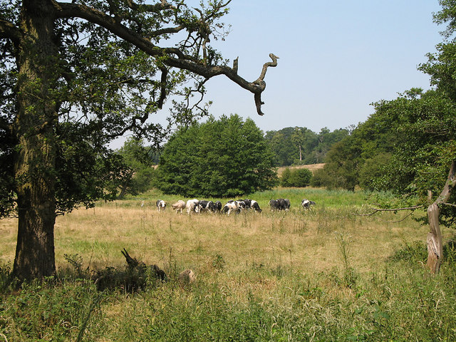
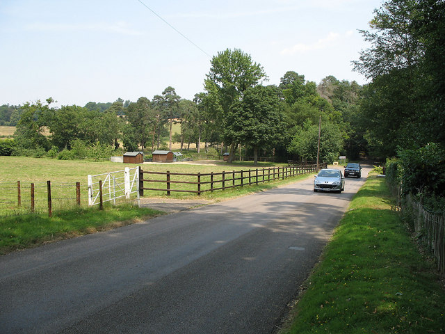
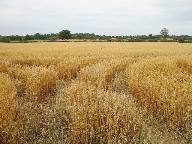
Surrounded by green fields and open countryside, Hertingfordbury offers a peaceful and rural atmosphere while still being within easy reach of nearby towns and cities. The River Lea runs through the parish, providing opportunities for leisurely walks and recreational activities.

The community in Hertingfordbury is active and vibrant, with various social and recreational groups catering to different interests. The village also hosts annual events such as fairs and festivals, bringing the community together.

Overall, Hertingfordbury is a charming and idyllic village in Hertfordshire, offering residents a tranquil and close-knit community in a beautiful rural setting.

If you have any feedback on the listing, please let us know in the comments section below.

Hertingfordbury Images

Images are sourced within 2km of 51.789114/-0.132675 or Grid Reference TL2811. Thanks to Geograph Open Source API. All images are credited.

St Mary's Church, Hertingfordbury
Hertingfordbury Road at the junction of the A414 Turn left for Hatfield, right for Hertford (except it's not allowed).
Hertingfordbury Road at the junction of the A414
Turn left for Hatfield, right for Hertford (except it's not allowed).
Topiary archway on St Mary's Lane, Hertingfordbury
Ex pub on Hertingfordbury Road It was the Prince of Wales
Ex pub on Hertingfordbury Road
It was the Prince of Wales
Reclaimed Field Near East End Green Herts Looking like the American Prairie with a large sky and baked earth this is a view of a reclaimed field on what was once a quarry. Last year it was sown with wheat and produced a good crop but it lies fallow this year.
Reclaimed Field Near East End Green Herts
Looking like the American Prairie with a large sky and baked earth this is a view of a reclaimed field on what was once a quarry. Last year it was sown with wheat and produced a good crop but it lies fallow this year.
Remains of Cole Green station The platform face of Cole Green station, on the Lea Valley Walk along the trackbed of the Welwyn to Hertford railway.
Remains of Cole Green station
The platform face of Cole Green station, on the Lea Valley Walk along the trackbed of the Welwyn to Hertford railway.
Poppy field From the Lea Valley Walk
Poppy field
From the Lea Valley Walk
Bathtime Flying Instructors take time out to wash Piper Cherokee G-BCGI at Panshanger Aerodrome.  On the right is a massive original hangar whilst the green hangar houses aircraft during maintenance.   The white building on the left is the Clubhouse.  The trees behind form part of Henry Wood.
Bathtime
Flying Instructors take time out to wash Piper Cherokee G-BCGI at Panshanger Aerodrome. On the right is a massive original hangar whilst the green hangar houses aircraft during maintenance. The white building on the left is the Clubhouse. The trees behind form part of Henry Wood.
Letty Green A whole array of village amenities are on show - phone box, letter box, church, signpost and telegraph pole.   Even traffic cones have been thoughtfully left by the roadside.
Letty Green
A whole array of village amenities are on show - phone box, letter box, church, signpost and telegraph pole. Even traffic cones have been thoughtfully left by the roadside.
Panshanger Aerodrome The large black hangar - the paint has faded / flaked away to reveal grey and rust.
Panshanger Aerodrome
The large black hangar - the paint has faded / flaked away to reveal grey and rust.
WWII flight crew building? Panshanger was originally built as a decoy airfield for Hatfield. This building appears to date back to 1940 and nature is gradually reclaiming the site beyond the active sections of the airfield.
WWII flight crew building?
Panshanger was originally built as a decoy airfield for Hatfield. This building appears to date back to 1940 and nature is gradually reclaiming the site beyond the active sections of the airfield.
Panshanger Park Until very recently this used to be rolling parkland with many old oaks.
It is now owned by Lafarge Aggregates, who have their SE England HQ here.
It seems they have been unable to resist the sand and gravel on their doorstep.
This little spinney is the last island of beauty amid the ravaged landscape.
Panshanger Park
Until very recently this used to be rolling parkland with many old oaks. It is now owned by Lafarge Aggregates, who have their SE England HQ here. It seems they have been unable to resist the sand and gravel on their doorstep. This little spinney is the last island of beauty amid the ravaged landscape.
River Mimram View from the B1000 Hertford - Welwyn road.
River Mimram
View from the B1000 Hertford - Welwyn road.
Bridge over the Mimram The River Mimram emerges from under the B1000 in Poplars Grove.
Bridge over the Mimram
The River Mimram emerges from under the B1000 in Poplars Grove.
Herd of Cows Cows grazing in the Mimram valley.  Standing up for fine weather - it was around 32 degrees celsius and not a cloud in the sky!
Herd of Cows
Cows grazing in the Mimram valley. Standing up for fine weather - it was around 32 degrees celsius and not a cloud in the sky!
Poplars Green View towards the B1000 on the road past Panshanger Aerodrome to the A414.  The trees hide the large triangular junction with the B1000 at the bottom.   The field on the left has been divided into 3 with the lowest part possibly in use as a smallholding.
Poplars Green
View towards the B1000 on the road past Panshanger Aerodrome to the A414. The trees hide the large triangular junction with the B1000 at the bottom. The field on the left has been divided into 3 with the lowest part possibly in use as a smallholding.
Farmland from the Panshanger Road A crop awaits harvesting - I believe these are oats.   In the distance is Birchall.
Farmland from the Panshanger Road
A crop awaits harvesting - I believe these are oats. In the distance is Birchall.
Show me another place!

Hertingfordbury is located at Grid Ref: TL2811 (Lat: 51.789114, Lng: -0.132675)

Administrative County: Hertfordshire

District: East Hertfordshire

Police Authority: Hertfordshire

What 3 Words

///supper.boring.knots. Near Hertford, Hertfordshire

Related Wikis

Cole Green railway station

Cole Green railway station was a station at Cole Green, Hertfordshire, England, on the Hertford and Welwyn Junction Railway. It was a passenger station...

Cole Green, Hertfordshire

Cole Green is a hamlet in Hertfordshire, England. It is 1 mile (1.6 km) south-east of Welwyn Garden City just off the A414. It is in the Hertingfordbury...

Letty Green

Letty Green is a village in the parish of Hertingfordbury, Hertfordshire, England. St John’s Church, Letty Green, the deconsecrated former parish church...

St John's Church, Letty Green

St John's Church, Letty Green, is a deconsecrated Gothic Revival church in Letty Green, Hertfordshire, England. The building was designed by George Fowler...

Pishiobury

Pishiobury, sometimes spelled Pishobury, was a manor and estate in medieval Sawbridgeworth, Hertfordshire. Its denomination as "Pishiobury" only emerged...

Panshanger

Panshanger was a large country house located between the outer edge of Hertford and Welwyn Garden City in Hertfordshire, England. == History == Earl Cowper...

Woolmers Park

Woolmers Park is a Grade II* listed building in Hertfordshire, England. It was the residence of Claude Bowes-Lyon, 14th Earl of Strathmore and Kinghorne...

Hertingfordbury

Hertingfordbury is a small village in Hertfordshire, England, close to the county town of Hertford. It was mentioned in the Domesday Book of 1086. Hertingfordbury...

Nearby Amenities

Located within 500m of 51.789114,-0.132675
Birch Green
Place: village
Lat/Long: 51.7871874/-0.1262555
Post Box
Post Box Type: wall
Ref: SG14 11
Royal Cypher: GVIR
Royal Cypher Wikidata: Q33102169
Lat/Long: 51.7873613/-0.126933
Bus Stop
War Memorial
Bus: yes
Naptan AtcoCode: 210021300820
Naptan Bearing: E
Naptan CommonName: War Memorial
Naptan Crossing: War Memorial
Naptan Indicator: opp
Naptan Landmark: War Memorial
Naptan NaptanCode: hrtdwapw
Naptan ShortCommonName: NA
Naptan Street: The Old Coach Road
Naptan Verified: no
Public Transport: platform
Source: naptan_import
Lat/Long: 51.7898323/-0.1292843
Bus Stop
War Memorial
Bus: yes
Local Ref: NR
Naptan AtcoCode: 210021312260
Naptan Bearing: W
Naptan CommonName: War Memorial
Naptan Crossing: War Memorial
Naptan Indicator: nr
Naptan Landmark: War Memorial
Naptan NaptanCode: hrtdmwjw
Naptan ShortCommonName: NA
Naptan Street: The Old Coach Road
Naptan Verified: no
Public Transport: platform
Source: naptan_import
Lat/Long: 51.7896735/-0.1283483
Historic: memorial
Material: concrete
Memorial: war_memorial
Source: OS OpenData StreetView;Bing
Lat/Long: 51.7892439/-0.1278399
Bus Stop
Bus: yes
Public Transport: platform
Shelter: yes
Lat/Long: 51.7898086/-0.1289421
Barrier: chain
Lat/Long: 51.7896891/-0.125621
Bench
Lat/Long: 51.7892996/-0.1279542
Direction: 200
Information: map
Map Size: park
Map Type: topo
Tourism: information
Lat/Long: 51.793076/-0.1324221
Board Type: nature
Information: board
Tourism: information
Lat/Long: 51.7934852/-0.1335558
The data included in this document is from www.openstreetmap.org. The data is made available under ODbL.

Have you been to Hertingfordbury?

Leave your review of Hertingfordbury below (or comments, questions and feedback).