Knackers Hole
Settlement in Dorset
England
Knackers Hole
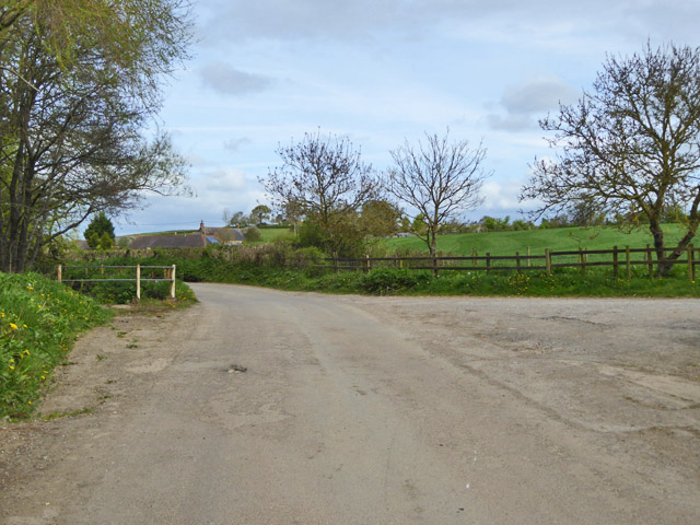
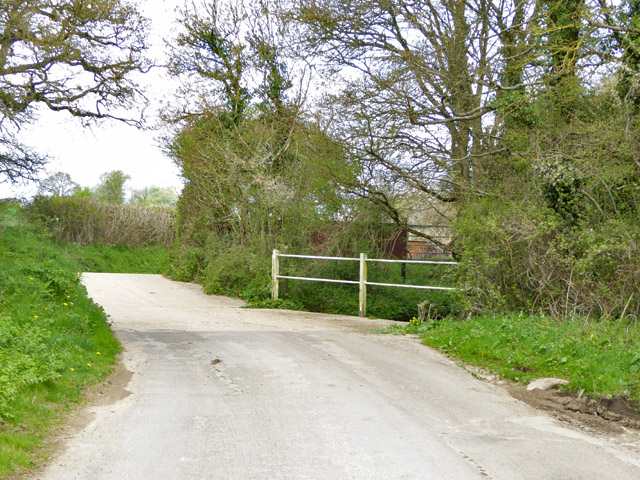
Knackers Hole is a small, secluded cove located in the county of Dorset, England. Situated along the stunning Jurassic Coast, it is nestled between the popular tourist destinations of Lulworth Cove and Durdle Door. Despite its close proximity to these more well-known attractions, Knackers Hole remains relatively unknown and untouched by mass tourism.
The cove itself is characterized by its rugged beauty and unspoiled natural surroundings. It is a pebble beach, with large, smooth stones scattered along the shore. The crystal-clear waters of the English Channel gently lap against the beach, creating a peaceful and tranquil atmosphere. The cliffs surrounding the cove are made up of layers of limestone and clay, displaying the geological history of the area.
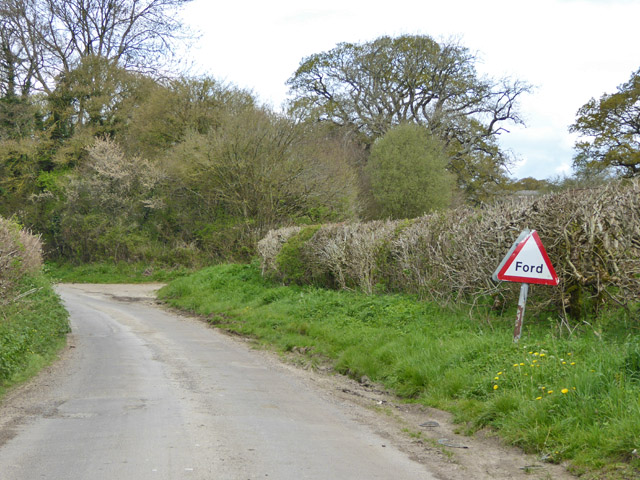
Access to Knackers Hole is limited, as there is no direct road or car park nearby. Visitors typically park their vehicles at nearby Durdle Door or Lulworth Cove and then embark on a short hike to reach the secluded cove. This adds to the sense of adventure and exclusivity that Knackers Hole offers.
Due to its secluded nature, Knackers Hole is a haven for wildlife. Visitors may spot various marine creatures in the waters, such as seals and dolphins, while birds soar overhead. The surrounding cliffs also provide habitats for numerous bird species, including guillemots and fulmars.
Overall, Knackers Hole offers a serene and picturesque escape from the bustling tourist hotspots of Dorset. Its natural beauty, peaceful atmosphere, and limited access make it a hidden gem for those seeking a more secluded coastal experience.
If you have any feedback on the listing, please let us know in the comments section below.
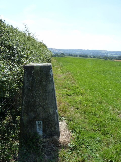
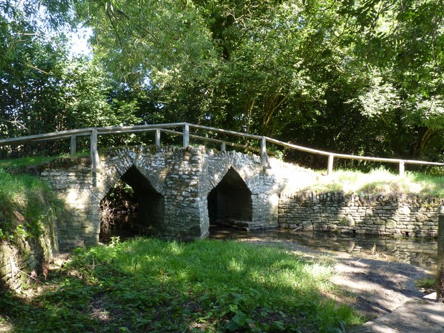
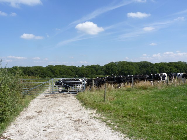
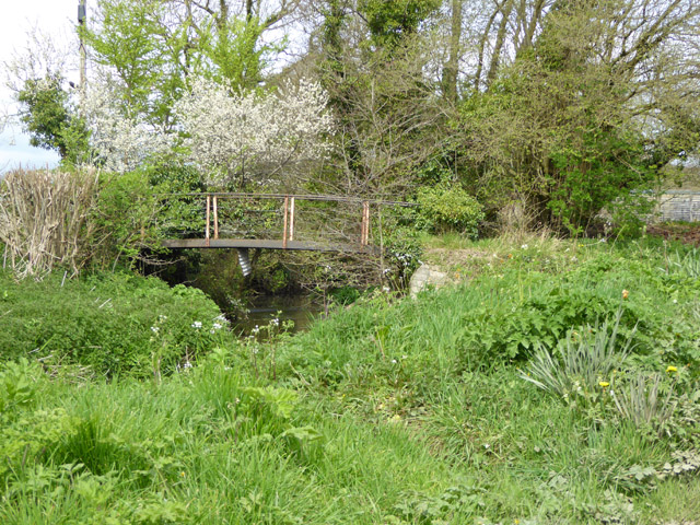
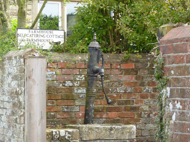
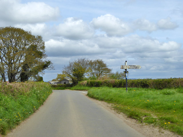
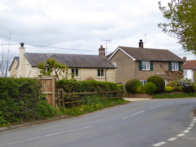
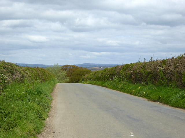
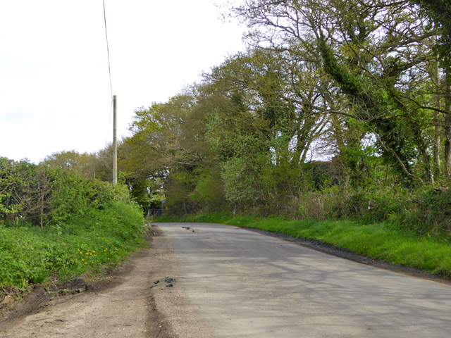
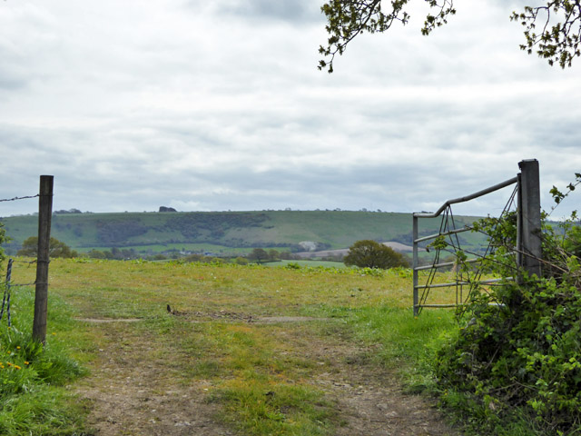
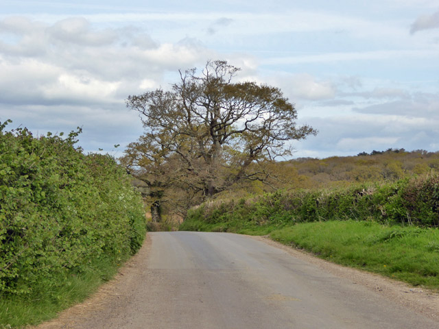
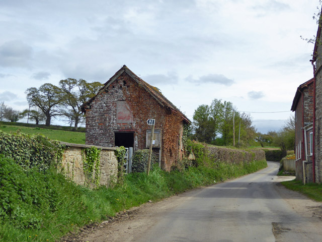
Knackers Hole Images
Images are sourced within 2km of 50.901551/-2.3114106 or Grid Reference ST7811. Thanks to Geograph Open Source API. All images are credited.
Knackers Hole is located at Grid Ref: ST7811 (Lat: 50.901551, Lng: -2.3114106)
Unitary Authority: Dorset
Police Authority: Dorset
What 3 Words
///eaten.rental.blown. Near Sturminster Newton, Dorset
Nearby Locations
Related Wikis

Banbury Hill
Banbury Hillfort, or Banbury Hill Camp, is an Iron Age hillfort, about 1.25 miles (2.0 km) south of Sturminster Newton and 1 mile (1.6 km) north-west of...

Fifehead Neville
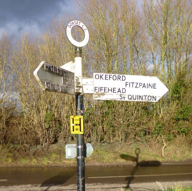
Fifehead Neville is a village and civil parish in the county of Dorset in southern England, situated in the Blackmore Vale about two miles (three kilometres...
Belchalwell
Belchalwell is a small village and former civil parish, now in the parish of Okeford Fitzpaine in the Blackmore Vale, in the Dorset district, in the ceremonial...

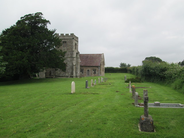
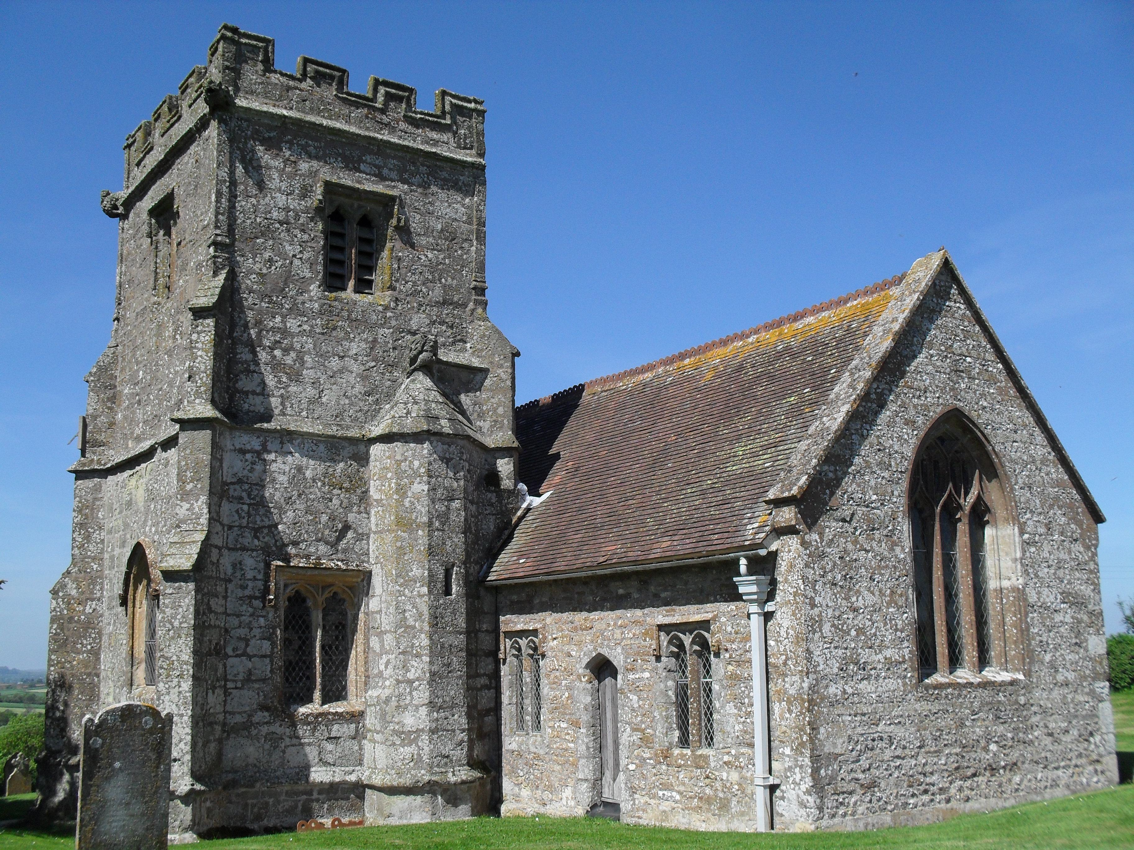
St Aldhelm's Church, Belchalwell
St Aldhelm's Church is a Grade II* listed Anglican church in the village of Belchalwell, Dorset. It is in the ecclesiastical parish of Belchalwell, which...
Piddles Wood
Piddles Wood is a small area of woodland south of the River Stour, Dorset, and a Site of Special Scientific Interest (SSSI). The site was notified as an...

Sturminster Newton Castle
Sturminster Newton Castle is a site consisting of the remains of a medieval manor house within an Iron Age hillfort, near Sturminster Newton in Dorset...
Sturminster Newton Hundred
Sturminster Newton Hundred or Sturminster Newton Castle Hundred was a hundred in the county of Dorset, England, containing the following parishes: Hinton...

Fiddleford
Fiddleford is a hamlet in the county of Dorset in southern England. Fiddleford is situated between Sturminster Newton and Okeford Fitzpaine in the North...
Nearby Amenities
Located within 500m of 50.901551,-2.3114106Have you been to Knackers Hole?
Leave your review of Knackers Hole below (or comments, questions and feedback).