Knave-Go-By

Settlement in Cornwall

England

Knave-Go-By

Wheal Grenville Fortesque's shaft and whim The impressive engine house at Fortesque's shaft with the drawing whim beyond. See
<a title="https://www.geograph.org.uk/photo/4131867" href="https://www.geograph.org.uk/photo/4131867">Link</a> for more details.
Wheal Grenville Fortesque's shaft and whim Credit: Richard Bird

Knave-Go-By is a quaint coastal village located in Cornwall, a county in southwestern England. Situated on the rugged and picturesque Cornish coastline, this charming village offers visitors a taste of traditional Cornish life combined with stunning natural beauty.

The village is known for its idyllic setting, nestled between rolling green hills and the crystal-clear waters of the Atlantic Ocean. Knave-Go-By boasts breathtaking panoramic views of the coastline, making it a popular destination for nature lovers and photographers. The stunning cliffs and hidden coves that surround the village provide ample opportunities for hiking, exploring, and enjoying the peacefulness of the ocean breeze.

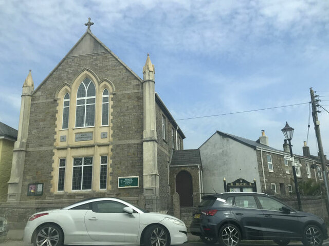
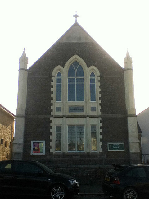
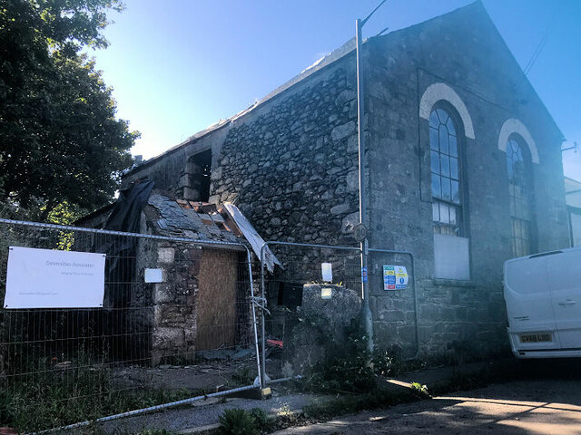
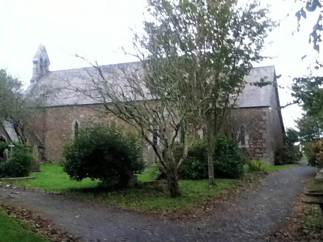
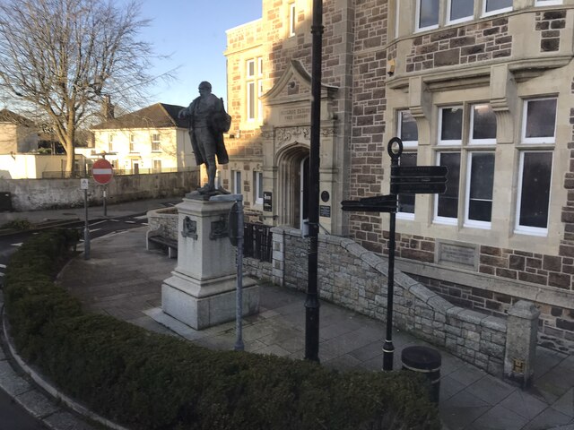
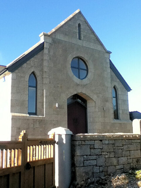
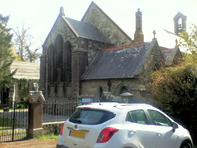
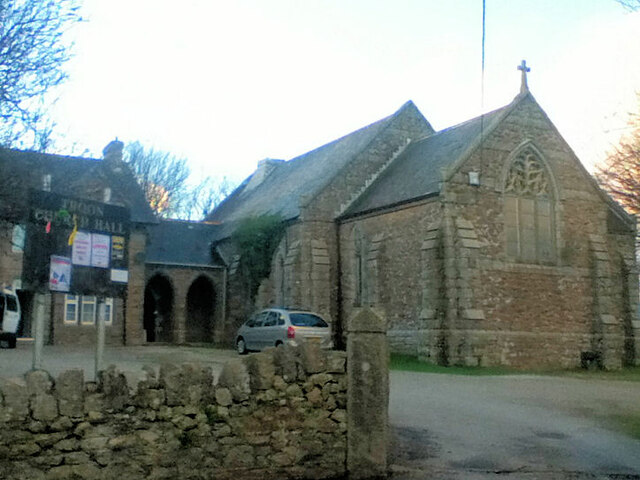
Despite its small size, Knave-Go-By has a rich history that can be traced back centuries. The village is home to a number of historic buildings, including a 13th-century church and a quaint village pub that has been serving locals and visitors for generations. The friendly and welcoming atmosphere of the village is evident in the warm smiles of its residents, who take pride in preserving their heritage and sharing it with others.

Visitors to Knave-Go-By can also indulge in delicious Cornish cuisine, with local seafood being a highlight. The village is known for its fresh fish and shellfish, which can be enjoyed at one of the many charming seaside restaurants.

In summary, Knave-Go-By is a small but enchanting village in Cornwall that offers visitors a chance to immerse themselves in the beauty of the Cornish coastline while experiencing the warmth and charm of traditional Cornish life.

If you have any feedback on the listing, please let us know in the comments section below.
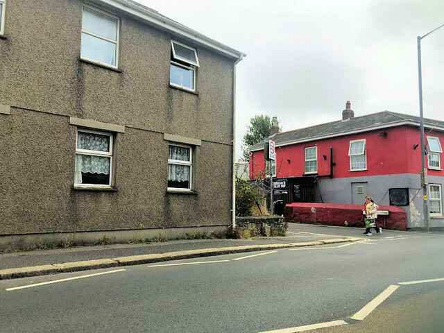
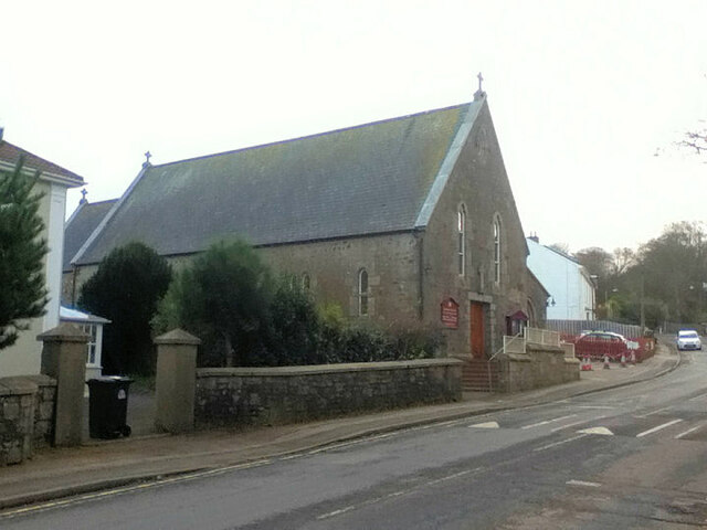
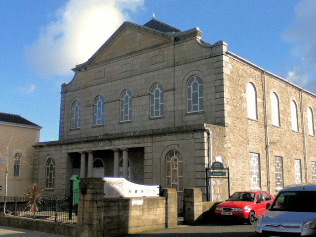
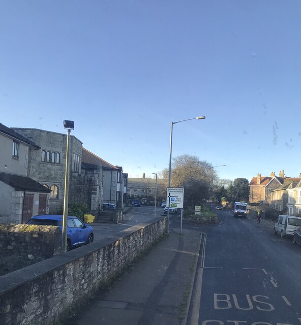
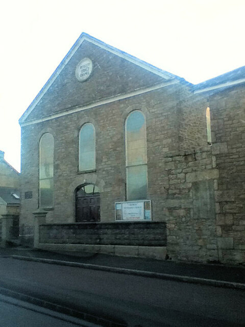
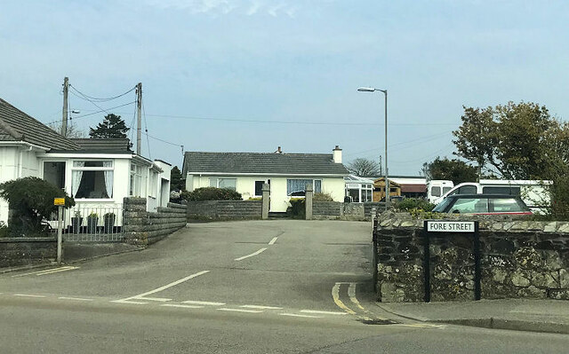
Knave-Go-By Images

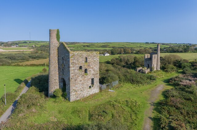
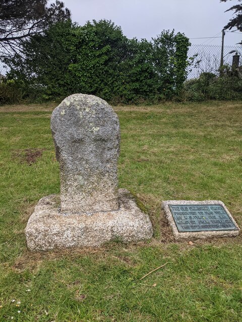
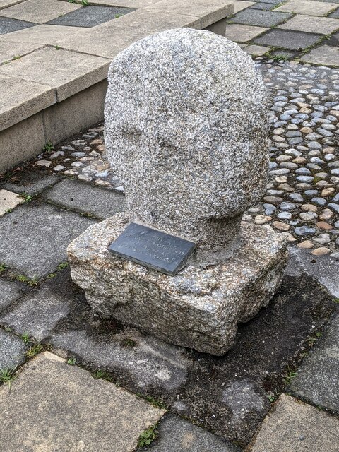
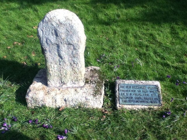
Images are sourced within 2km of 50.203898/-5.290302 or Grid Reference SW6538. Thanks to Geograph Open Source API. All images are credited.

Wheal Grenville Fortesque's shaft and whim The impressive engine house at Fortesque's shaft with the drawing whim beyond. See
<a title="https://www.geograph.org.uk/photo/4131867" href="https://www.geograph.org.uk/photo/4131867">Link</a> for more details.
Wheal Grenville Fortesque's shaft and whim
The impressive engine house at Fortesque's shaft with the drawing whim beyond. See Link for more details.
Old Wayside Cross in Camborne churchyard Camborne Cross, the head and neck of an old wayside cross moved to Camborne churchyard south of the church in Camborne parish. The cross was originally sited at Camborne Cross SW648398, was moved to Trevu House SW651394 in 1845, and then to its current location in 1935.

Milestone Society National ID: CWKE_CAM05
Old Wayside Cross in Camborne churchyard
Camborne Cross, the head and neck of an old wayside cross moved to Camborne churchyard south of the church in Camborne parish. The cross was originally sited at Camborne Cross SW648398, was moved to Trevu House SW651394 in 1845, and then to its current location in 1935. Milestone Society National ID: CWKE_CAM05
Old Wayside Cross off Chapel Street, Camborne Killivose Cross, also called Trevu Cross number 2, the head of a wayside cross moved inside the railings at the southwest corner of the site of Wesley Chapel on Chapel Street in Camborne parish. Grade II Listed <span class="nowrap"><a title="https://historicengland.org.uk/listing/the-list/list-entry/1142651" rel="nofollow ugc noopener" href="https://historicengland.org.uk/listing/the-list/list-entry/1142651">Link</a><img style="margin-left:2px;" alt="External link" title="External link - shift click to open in new window" src="https://s1.geograph.org.uk/img/external.png" width="10" height="10"/></span> and a Scheduled Monument <span class="nowrap"><a title="https://historicengland.org.uk/listing/the-list/list-entry/1006666" rel="nofollow ugc noopener" href="https://historicengland.org.uk/listing/the-list/list-entry/1006666">Link</a><img style="margin-left:2px;" alt="External link" title="External link - shift click to open in new window" src="https://s1.geograph.org.uk/img/external.png" width="10" height="10"/></span>.

Milestone Society National ID: CWKE_CAM07
Old Wayside Cross off Chapel Street, Camborne
Killivose Cross, also called Trevu Cross number 2, the head of a wayside cross moved inside the railings at the southwest corner of the site of Wesley Chapel on Chapel Street in Camborne parish. Grade II Listed LinkExternal link and a Scheduled Monument LinkExternal link. Milestone Society National ID: CWKE_CAM07
Cross Milestone Society National ID: CWKE_CAM05
National Survey of Wayside Features by The Milestone Society
Cross
Milestone Society National ID: CWKE_CAM05 National Survey of Wayside Features by The Milestone Society
Beacon Methodist Church
Penponds Methodist Church
Holy Trinity Church
Holy Trinity Church
Corner of Trevenson Street and  Stray Park Road
Corner of Trevenson Street and Stray Park Road
St John the Baptist RC Church
Camborne Wesley Methodist Church
Bus stop
Bus stop
Camborne Library
Camborne Library
Plantation Chapel
Plantation Chapel
St. John's Church
St. John's Church
Former Mission Church with adjoining Sunday School at left
Troon Methodist Church
Chapel Square leading to Chapel Farm
Show me another place!

Knave-Go-By is located at Grid Ref: SW6538 (Lat: 50.203898, Lng: -5.290302)

Unitary Authority: Cornwall

Police Authority: Devon and Cornwall

What 3 Words

///observe.political.digesting. Near Camborne, Cornwall

Nearby Locations

Knave-Go-By Tolcarne

Related Wikis

Knave-Go-By

Knave-Go-By (also known as Knave-go-bye or Knave Go By) is a village located on the outskirts of Camborne in the English county of Cornwall in the South...

Camborne Grammar School

Camborne Grammar School in Camborne, Cornwall, was a girls' grammar school between 1908 and 1976. == Origins == In 1877 Redbrooke College for young ladies...

St Michael's Secondary School

St Michael's Secondary School was a mixed Free school located in Camborne, Cornwall, England. It opened in 2012, has a Roman Catholic ethos and caters...

Pengegon

Pengegon (Cornish: Penn an Gegin) is a residential area east of Camborne, Cornwall, England, which has a fish and chip shop, a playground and memorial...

Nearby Amenities

Located within 500m of 50.203898,-5.290302
Beacon
Is In: Cornwall, England, UK
Name Kw: Tansys
Place: village
Lat/Long: 50.2062211/-5.2861137
Bus Stop
Cadogan Close
Bench: no
Bin: no
Bus: yes
Covered: no
Description: Signage on pole, road markings, timetable board
Naptan AtcoCode: 0800COD40937
Naptan Bearing: E
Naptan CommonName: Cadogan Close
Naptan Crossing: Cadogan Close
Naptan Indicator: E-bound
Naptan NaptanCode: corajmpt
Naptan NptgLocalityCode: E0003094
Naptan PlusbusZoneRef: CBORNE
Naptan Street: Cadogan Road
Public Transport: platform
Shelter: no
Source: survey
Survey Date: 2021-04-29
Tactile Paving: no
Lat/Long: 50.205883/-5.2935336
Bus Stop
Cadogan Close
Bench: no
Bin: yes
Bus: yes
Covered: no
Description: Signage on pole with bin, road markings, timetable board
Naptan AtcoCode: 0800COD40938
Naptan Bearing: W
Naptan CommonName: Cadogan Close
Naptan Crossing: Cadogan Close
Naptan Indicator: opp
Naptan NaptanCode: corajmpw
Naptan NptgLocalityCode: E0003094
Naptan PlusbusZoneRef: CBORNE
Naptan Street: Cadogan Road
Public Transport: platform
Shelter: no
Source: survey
Survey Date: 2021-04-29
Tactile Paving: no
Lat/Long: 50.2057626/-5.292953
Bus Stop
Beacon Square
Bench: no
Bin: no
Bus: yes
Description: Signage on pole next to post box
Naptan AtcoCode: 0800COD40976
Naptan Bearing: NW
Naptan CommonName: The Square
Naptan Crossing: Tolcarne Road
Naptan Indicator: NW-bound
Naptan NaptanCode: corajpmp
Naptan NptgLocalityCode: E0003094
Naptan PlusbusZoneRef: CBORNE
Naptan Street: Pendarves Street
Passenger Information Display: no
Public Transport: platform
Shelter: no
Source: naptan_import;survey
Survey Date: 2020-10-28
Lat/Long: 50.2062947/-5.2852347
Bus Stop
Tregrea
Bench: no
Bin: no
Bus: yes
Covered: no
Description: Corner of 27, signage on pole, timetable board
Naptan AtcoCode: 0800COD40978
Naptan Bearing: NE
Naptan CommonName: Tregrea
Naptan Crossing: Beacon Fields
Naptan Indicator: NE-bound
Naptan NaptanCode: corajpat
Naptan PlusbusZoneRef: CBORNE
Naptan Street: Tregrea
Public Transport: platform
Shelter: no
Source: naptan_import;survey
Survey Date: 2021-04-29
Tactile Paving: no
Lat/Long: 50.2080935/-5.2882315
Bus Stop
Tregrea
Bench: no
Bin: no
Bus: yes
Covered: no
Description: Outside number 6, signage on pole, timetable board, markings on ground
Naptan AtcoCode: 0800COD40979
Naptan Bearing: SW
Naptan CommonName: Tregrea
Naptan Crossing: Fore Street
Naptan NaptanCode: corajpap
Naptan PlusbusZoneRef: CBORNE
Naptan Street: Tregrea
Public Transport: platform
Shelter: no
Source: naptan_import;survey
Survey Date: 2021-04-29
Tactile Paving: no
Lat/Long: 50.2077118/-5.288502
Bus Stop
Top of Cadogan Road
Bus: yes
Naptan AtcoCode: 0800COD40994
Naptan Bearing: NE
Naptan CommonName: Top of Cadogan Road
Naptan Crossing: Fore Street
Naptan NaptanCode: corajpda
Naptan PlusbusZoneRef: CBORNE
Naptan Street: Cadogan Road
Naptan Verified: no
Note: 2021-04-29 Survey no signage or road markings indicating a bus stop here
Public Transport: platform
Source: naptan_import
Lat/Long: 50.2065344/-5.2877419
Bus Stop
Top of Cadogan Road
Bus: yes
Naptan AtcoCode: 0800COD40995
Naptan Bearing: W
Naptan CommonName: Top of Cadogan Road
Naptan Crossing: Fore Street
Naptan NaptanCode: corajpaw
Naptan PlusbusZoneRef: CBORNE
Naptan Street: Cadogan Road
Naptan Verified: no
Note: 2021-04-29 Survey no signage or road markings indicating a bus stop here
Public Transport: platform
Source: naptan_import
Lat/Long: 50.2064344/-5.287777
Bus Stop
Beacon Square
Bench: no
Bin: no
Bus: yes
Description: Signage on pole with markings on the ground, next to street sign
Naptan AtcoCode: 0800FWX38500
Naptan Bearing: SE
Naptan CommonName: The Square
Naptan Crossing: Fore Street
Naptan Indicator: SE-bound
Naptan NaptanCode: corajptj
Naptan NptgLocalityCode: E0003094
Naptan PlusbusZoneRef: CBORNE
Naptan Street: Pendarves Street
Passenger Information Display: no
Public Transport: platform
Shelter: no
Source: naptan_import;survey
Survey Date: 2020-10-28
Lat/Long: 50.2064409/-5.285293
Turning Circle
Lat/Long: 50.2070337/-5.2917502
Turning Circle
Lat/Long: 50.2077246/-5.2921907
Turning Circle
Lat/Long: 50.207265/-5.2949199
The Tutu Shop
Addr City: Camborne
Addr Hamlet: Beacon
Addr Housenumber: 2-4
Addr Postcode: TR14 7SQ
Addr Street: Pendarves Street
Check Date: 2012-08-26
Shop: clothes
Lat/Long: 50.2062249/-5.2853036
Knave-Go-By
Place: hamlet
Wikidata: Q42888068
Lat/Long: 50.2035276/-5.2911751
Turning Circle
Lat/Long: 50.2073687/-5.2908643
Place Of Worship
Beacon Methodist Church
Addr City: Camborne
Addr Street: The Squarre
Addr Suburb: Beacon
Denomination: methodist
Religion: christian
Lat/Long: 50.206564/-5.2853649
Power: pole
Source: approximate
Lat/Long: 50.2044458/-5.2840001
Power: pole
Source: approximate
Lat/Long: 50.2046518/-5.2859206
Pub
Beacon Inn
Addr City: Camborne
Addr Country: GB
Addr Hamlet: Beacon
Addr Housenumber: 80
Addr Postcode: TR14 7SE
Addr Street: Fore Street
Lat/Long: 50.2065097/-5.2858178
Beacon Stores
Addr City: Camborne
Addr Country: GB
Addr Hamlet: Beacon
Addr Housenumber: 80
Addr Postcode: TR14 7SE
Addr Street: Fore Street
Fhrs Id: 1097023
Shop: convenience
Lat/Long: 50.2065277/-5.2859559
David Moyle Butchers
Addr City: Camborne
Addr Country: GB
Addr Hamlet: Beacon
Addr Housenumber: 74
Addr Postcode: TR14 7SE
Addr Street: Fore Street
Fhrs Id: 505053
Shop: butcher
Lat/Long: 50.2065432/-5.2860444
Barrier: cycle_barrier
Lat/Long: 50.2081113/-5.2923524
Historic: memorial
Inscription: Deadicated to Raymound Thomas 1998, who planted and cared for this thorn fence during his lifetime
Memorial: plaque
Lat/Long: 50.2047606/-5.292166
Barrier: cattle_grid
Lat/Long: 50.2047805/-5.2921935
Barrier: cattle_grid
Lat/Long: 50.2052131/-5.2928789
Power: pole
Lat/Long: 50.2010271/-5.2858481
Power: pole
Lat/Long: 50.202825/-5.2843257
Power: pole
Lat/Long: 50.2020019/-5.2850174
Power: pole
Lat/Long: 50.2015439/-5.2853774
Power: pole
Lat/Long: 50.2015044/-5.2853251
Entrance: yes
Lat/Long: 50.2031963/-5.2854699
Entrance: yes
Lat/Long: 50.20418/-5.2842039
Barrier: stile
Lat/Long: 50.2023015/-5.2868338
Barrier: stile
Lat/Long: 50.2016625/-5.2853583
Barrier: cattle_grid
Lat/Long: 50.2069839/-5.2857153
Barrier: stile
Lat/Long: 50.2007649/-5.292389
Barrier: stile
Lat/Long: 50.2008881/-5.2918641
Information: guidepost
Tourism: information
Lat/Long: 50.2007936/-5.2869196
Information: guidepost
Tourism: information
Lat/Long: 50.2015782/-5.2871141
Board Type: notice
Information: board
Tourism: information
Lat/Long: 50.206544/-5.2854256
Public Bookcase
Phone Box Swap Shop
Booth: K6
Disused Amenity: telephone
Man Made: telephone_box
Public Bookcase Type: phone_box
Lat/Long: 50.2063611/-5.2854645
Post Box
Brand: Royal Mail
Brand Wikidata: Q638098
Collection Times: Mo-Fr 09:00; Sa 07:00; Su off
Description: Outside the shop on the junction with Tolcarne Road with the bus stop
Drive Through: no
Operator: Royal Mail
Operator Wikidata: Q638098
Post Box Design: type_b
Post Box Type: pillar
Ref: TR14 81D
Royal Cypher: EIIR
Royal Cypher Wikidata: Q33102113
Source: survey;aerial imagery;streetlevel imagery
Survey Date: 2024-03-20
Lat/Long: 50.2062959/-5.2852821
Waste Basket
Source: survey
Survey Date: 2020-07-11
Lat/Long: 50.2037783/-5.2905855
Post Box
Collection Times: Mo-Fr 16:30; Sa 07:30
Description: In the wall at the end of the wall next to drive way
Operator: Royal Mail
Operator Wikidata: Q638098
Post Box Type: wall
Ref: TR14 118
Source: survey
Survey Date: 2020-07-11
Lat/Long: 50.2038449/-5.290448
Bus Stop
Mount Pleasant Close
Bench: no
Bus: yes
Description: Bus stop markings on the ground with timestable post between 84 and 86
Naptan AtcoCode: 0800COA15584
Naptan Bearing: NW
Naptan CommonName: Mount Pleasant Close
Naptan Indicator: NW-bound
Naptan NaptanCode: corgjdtd
Naptan NptgLocalityCode: E0044521
Naptan PlusbusZoneRef: CBORNE
Public Transport: platform
Shelter: no
Source: survey
Survey Date: 2021-04-29
Tactile Paving: no
Lat/Long: 50.2059865/-5.2961991
Bus Stop
Mount Pleasant Close
Bench: no
Bin: no
Bus: yes
Covered: no
Description: Bus stop markings on the ground with timestable post
Naptan AtcoCode: 0800COA15583
Naptan Bearing: SE
Naptan CommonName: Mount Pleasant Close
Naptan Indicator: SE-bound
Naptan NaptanCode: corgjdta
Naptan NptgLocalityCode: E0044521
Naptan PlusbusZoneRef: CBORNE
Public Transport: platform
Shelter: no
Source: survey
Survey Date: 2021-04-29
Tactile Paving: no
Lat/Long: 50.2058217/-5.2959329
Post Box
Brand: Royal Mail
Brand Wikidata: Q638098
Collection Times: Mo-Fr 09:00; Sa 07:00; Su off
Description: Mounted inside/on a block pillerat bottom of a drive way
Drive Through: no
Operator: Royal Mail
Operator Wikidata: Q638098
Post Box Design: type_b
Post Box Mounting: brick_pillar
Post Box Type: wall
Ref: TR14 88D
Royal Cypher: GR
Royal Cypher Wikidata: Q33102273
Source: survey;aerial imagery;streetlevel imagery
Survey Date: 2020-07-11
Lat/Long: 50.2059311/-5.2960311
Generator Method: photovoltaic
Generator Output Electricity: small_installation
Generator Source: solar
Generator Type: solar_photovoltaic_panel
Location: roof
Power: generator
Source: bing
Lat/Long: 50.205483/-5.2947114
Generator Method: photovoltaic
Generator Output Electricity: small_installation
Generator Source: solar
Generator Type: solar_photovoltaic_panel
Location: roof
Power: generator
Source: bing
Lat/Long: 50.2054157/-5.2837848
Generator Method: photovoltaic
Generator Output Electricity: small_installation
Generator Source: solar
Generator Type: solar_photovoltaic_panel
Location: roof
Power: generator
Source: bing
Lat/Long: 50.2072444/-5.2882218
Generator Method: photovoltaic
Generator Output Electricity: small_installation
Generator Source: solar
Generator Type: solar_photovoltaic_panel
Location: roof
Power: generator
Source: bing
Lat/Long: 50.2062599/-5.2922867
Generator Method: photovoltaic
Generator Output Electricity: small_installation
Generator Source: solar
Generator Type: solar_photovoltaic_panel
Location: roof
Power: generator
Source: bing
Lat/Long: 50.2059981/-5.2933462
Generator Method: photovoltaic
Generator Output Electricity: small_installation
Generator Source: solar
Generator Type: solar_photovoltaic_panel
Location: roof
Power: generator
Source: bing
Lat/Long: 50.2059757/-5.2935474
Generator Method: photovoltaic
Generator Output Electricity: small_installation
Generator Source: solar
Generator Type: solar_photovoltaic_panel
Location: roof
Power: generator
Source: bing
Lat/Long: 50.2064277/-5.2952009
Generator Method: photovoltaic
Generator Output Electricity: small_installation
Generator Source: solar
Generator Type: solar_photovoltaic_panel
Location: roof
Power: generator
Source: bing
Lat/Long: 50.2064161/-5.2949032
Generator Method: photovoltaic
Generator Output Electricity: small_installation
Generator Source: solar
Generator Type: solar_photovoltaic_panel
Location: roof
Power: generator
Source: bing
Lat/Long: 50.2064594/-5.295323
Generator Method: photovoltaic
Generator Output Electricity: small_installation
Generator Source: solar
Generator Type: solar_photovoltaic_panel
Location: roof
Power: generator
Source: bing
Lat/Long: 50.2034573/-5.2866796
Direction: SE
Generator Method: photovoltaic
Generator Output Electricity: small_installation
Generator Source: solar
Generator Type: solar_photovoltaic_panel
Location: roof
Power: generator
Source: bing
Lat/Long: 50.2047728/-5.2864845
Generator Method: photovoltaic
Generator Output Electricity: small_installation
Generator Source: solar
Generator Type: solar_photovoltaic_panel
Location: roof
Power: generator
Source: bing
Lat/Long: 50.205477/-5.2925167
Bus Stop
Mount Pleasure
Bench: no
Bin: no
Bus: yes
Covered: no
Description: Signage on pole, road markings, timetable board
Naptan AtcoCode: 0800COA15586
Naptan Bearing: W
Naptan CommonName: Mount Pleasure
Naptan Indicator: W-bound
Naptan NaptanCode: corgjdtj
Naptan PlusbusZoneRef: CBORNE
Public Transport: platform
Shelter: no
Source: survey;naptan_data
Survey Date: 2021-04-29
Tactile Paving: no
Lat/Long: 50.2059491/-5.2901631
Traffic Calming: hump
Lat/Long: 50.207509/-5.2887978
Traffic Calming: hump
Lat/Long: 50.2080817/-5.2881521
Direction: SE
Generator Method: photovoltaic
Generator Output Electricity: small_installation
Generator Solar Modules: 12
Generator Source: solar
Generator Type: solar_photovoltaic_panel
Location: roof
Power: generator
Source: bing
Lat/Long: 50.2073813/-5.2947135
Direction: SE
Generator Method: photovoltaic
Generator Output Electricity: small_installation
Generator Source: solar
Generator Type: solar_photovoltaic_panel
Location: roof
Power: generator
Source: bing
Lat/Long: 50.2080282/-5.290779
Power: pole
Source: bing;wpd_open_data
Lat/Long: 50.2035308/-5.2837236
Power: pole
Source: bing;wpd_open_data
Lat/Long: 50.20712/-5.2857956
Direction: SW
Generator Method: photovoltaic
Generator Output Electricity: small_installation
Generator Source: solar
Generator Type: solar_photovoltaic_panel
Location: roof
Power: generator
Source: bing
Lat/Long: 50.2075216/-5.2908538
Barrier: cycle_barrier
Source: survey;bing
Lat/Long: 50.2076072/-5.2904118
Direction: SE
Generator Method: photovoltaic
Generator Output Electricity: small_installation
Generator Source: solar
Generator Type: solar_photovoltaic_panel
Location: roof
Power: generator
Source: bing
Lat/Long: 50.2048865/-5.2864167
Power: pole
Source: bing
Lat/Long: 50.2050534/-5.286976
Power: pole
Source: bing
Lat/Long: 50.204326/-5.2883573
Power: pole
Source: bing
Lat/Long: 50.2043869/-5.2876318
Power: pole
Source: bing;wpd_open_data
Lat/Long: 50.2044496/-5.2949059
Power: pole
Source: bing;wpd_open_data
Lat/Long: 50.2043157/-5.294745
Power: pole
Source: bing;wpd_open_data
Lat/Long: 50.2046243/-5.2937002
Power: pole
Source: bing;wpd_open_data
Lat/Long: 50.2048371/-5.2922606
Power: pole
Source: bing;wpd_open_data
Lat/Long: 50.2046092/-5.2911012
Power: pole
Source: bing;wpd_open_data
Lat/Long: 50.2047676/-5.2895864
Power: pole
Source: bing;wpd_open_data
Lat/Long: 50.2055757/-5.2888401
Power: pole
Lat/Long: 50.2048037/-5.2876606
Power: pole
Lat/Long: 50.2049423/-5.2884083
Power: pole
Lat/Long: 50.2048886/-5.2883801
The data included in this document is from www.openstreetmap.org. The data is made available under ODbL.

Have you been to Knave-Go-By?

Leave your review of Knave-Go-By below (or comments, questions and feedback).