Common, The
Settlement in Dorset
England
Common, The
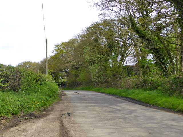
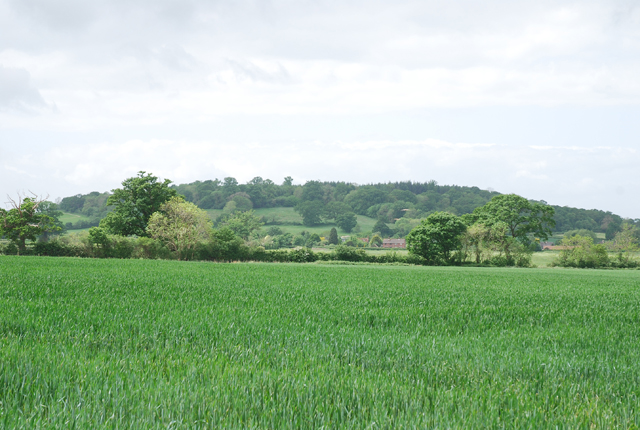
Common, The, Dorset is a charming and picturesque village located in the county of Dorset, England. Nestled in the heart of the beautiful Dorset countryside, The Common is renowned for its natural beauty, tranquil atmosphere, and rich history.
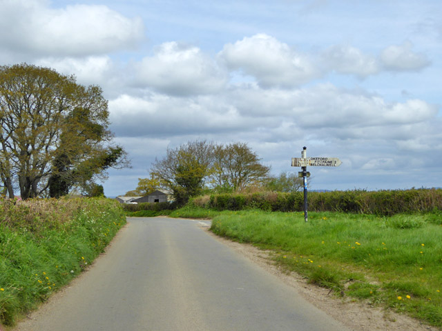
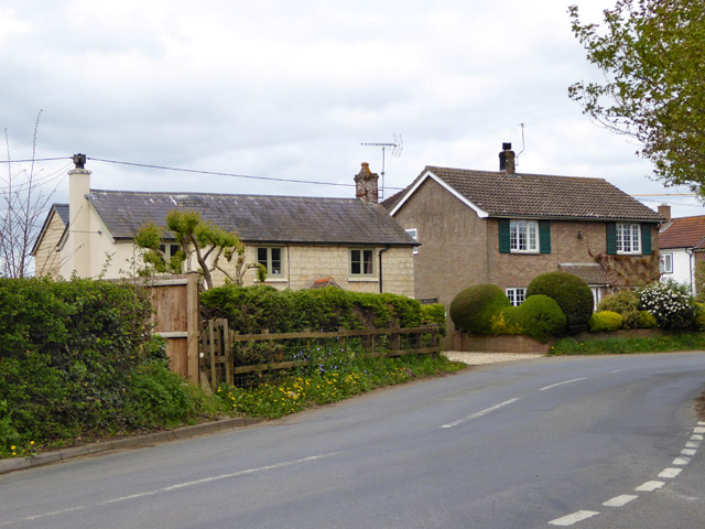
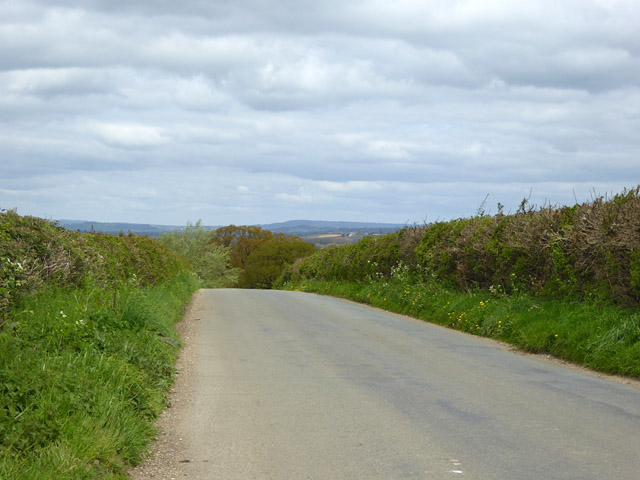
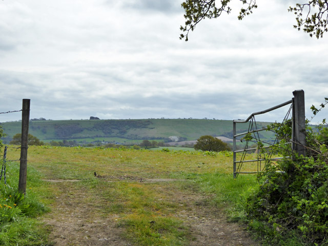
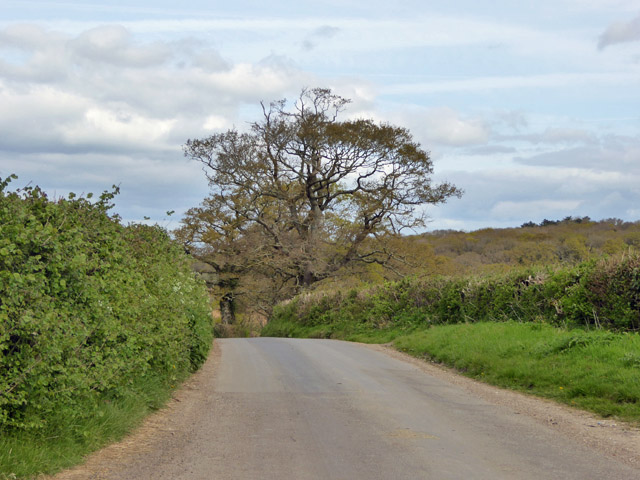
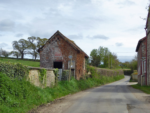
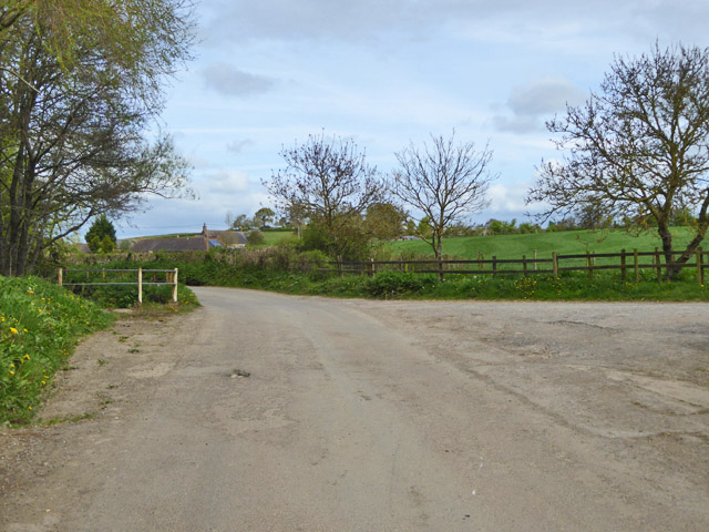
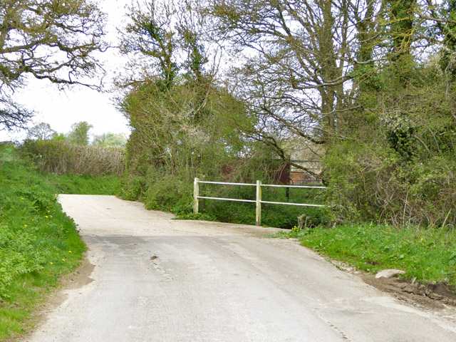
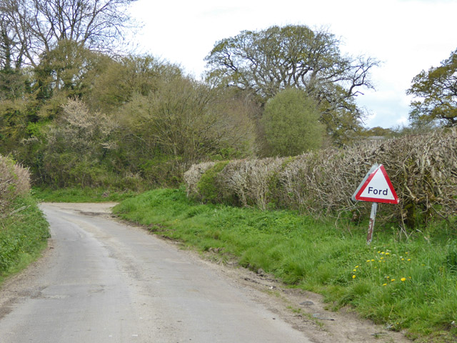
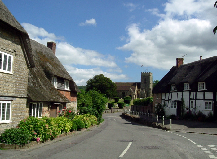
Surrounded by rolling hills and lush green meadows, The Common offers visitors a peaceful escape from the hustle and bustle of city life. The village is characterized by its quaint thatched-roof cottages, traditional architecture, and well-preserved historic buildings.
One of the main attractions in The Common is its vast expanse of open land known as The Common itself. This expansive green space is perfect for leisurely walks, picnics, and enjoying the breathtaking views of the surrounding countryside. It also serves as a popular spot for local events and community gatherings.
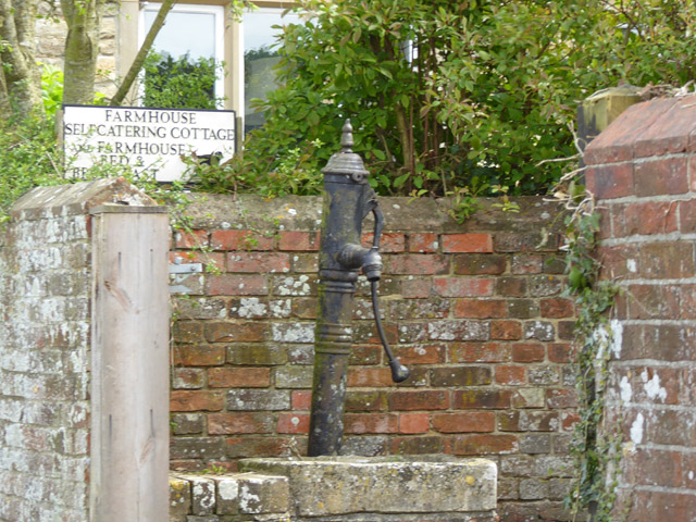
The village is home to a close-knit community that takes great pride in preserving its heritage. The Common features a number of historic landmarks, including St. Mary's Church, a beautiful 14th-century church known for its stunning stained glass windows and intricate stonework.
In addition to its natural beauty and historic charm, The Common offers a range of amenities for residents and visitors alike. The village boasts a selection of cozy pubs, quaint tea rooms, and local shops where visitors can sample traditional Dorset cuisine and purchase unique souvenirs.
Overall, Common, The, Dorset is a hidden gem that offers a peaceful retreat for those seeking a taste of rural England. Whether it's exploring the scenic countryside, immersing oneself in history, or simply enjoying the serenity of village life, The Common has something to offer for everyone.
If you have any feedback on the listing, please let us know in the comments section below.
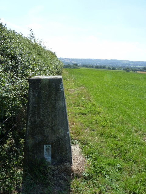
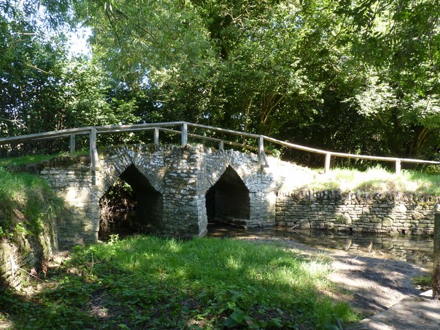
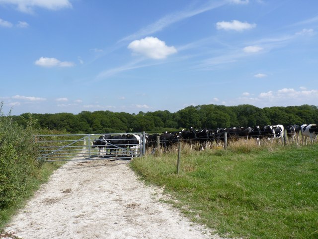
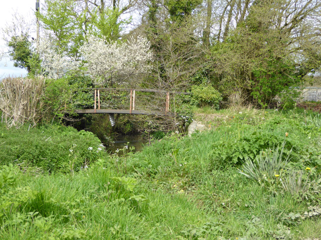
Common, The Images
Images are sourced within 2km of 50.898786/-2.3028745 or Grid Reference ST7811. Thanks to Geograph Open Source API. All images are credited.
Common, The is located at Grid Ref: ST7811 (Lat: 50.898786, Lng: -2.3028745)
Unitary Authority: Dorset
Police Authority: Dorset
What 3 Words
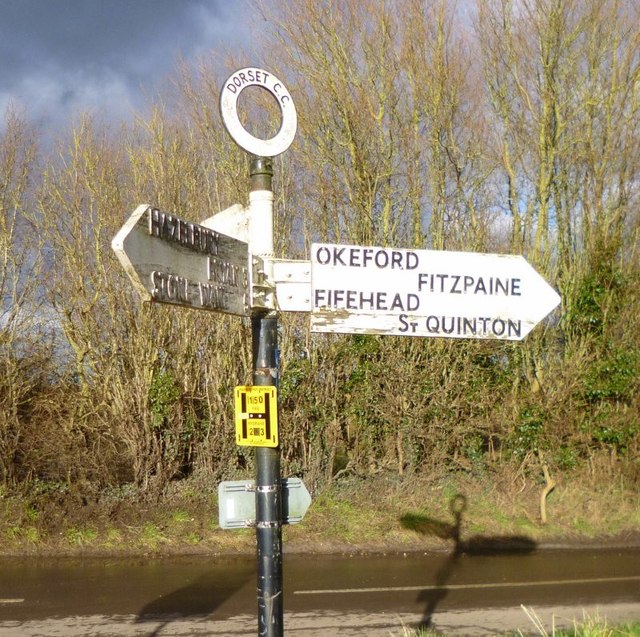
///remotest.income.petition. Near Sturminster Newton, Dorset
Nearby Locations
Related Wikis

Banbury Hill
Banbury Hillfort, or Banbury Hill Camp, is an Iron Age hillfort, about 1.25 miles (2.0 km) south of Sturminster Newton and 1 mile (1.6 km) north-west of...

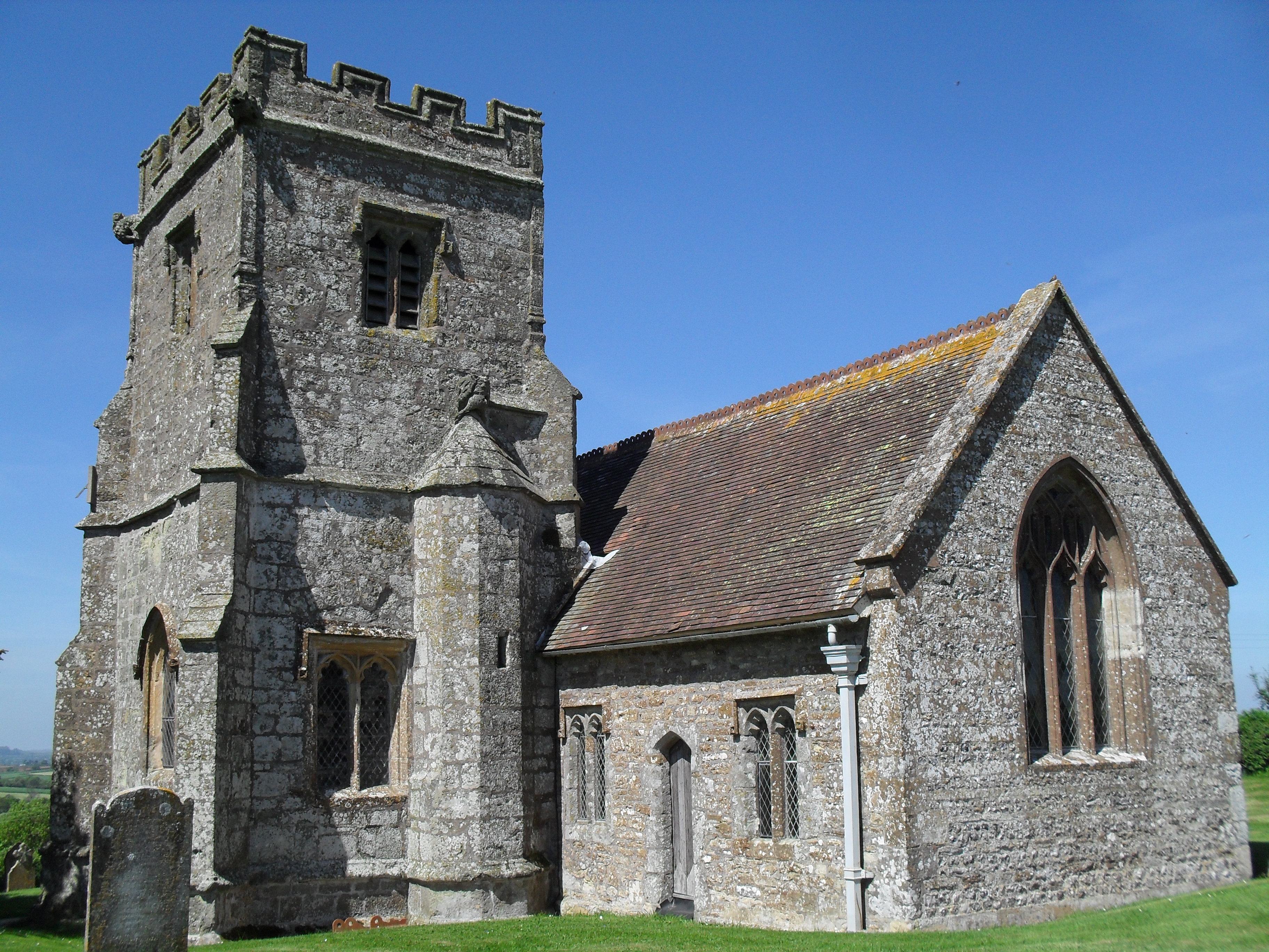
St Aldhelm's Church, Belchalwell
St Aldhelm's Church is a Grade II* listed Anglican church in the village of Belchalwell, Dorset. It is in the ecclesiastical parish of Belchalwell, which...
Belchalwell
Belchalwell is a small village and former civil parish, now in the parish of Okeford Fitzpaine in the Blackmore Vale, in the Dorset district, in the ceremonial...
Okeford Fitzpaine
Okeford Fitzpaine is a village and civil parish in the English county of Dorset, situated in the Blackmore Vale three miles (five kilometres) south of...

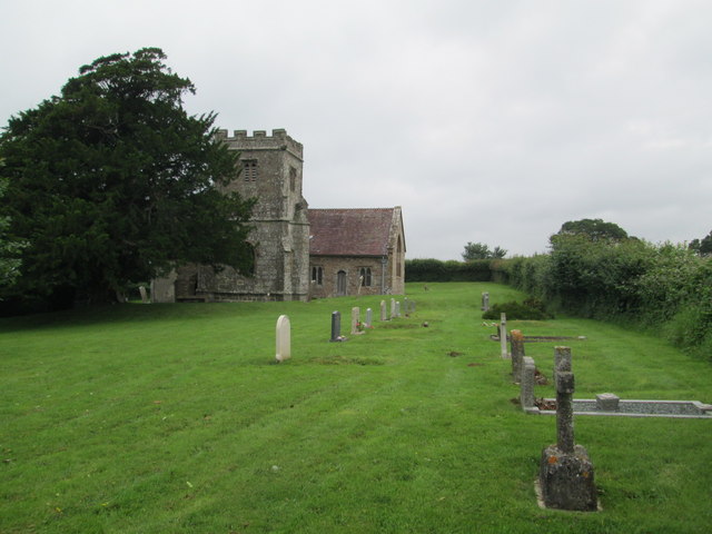
Fifehead Neville
Fifehead Neville is a village and civil parish in the county of Dorset in southern England, situated in the Blackmore Vale about two miles (three kilometres...
Piddles Wood
Piddles Wood is a small area of woodland south of the River Stour, Dorset, and a Site of Special Scientific Interest (SSSI). The site was notified as an...

Fiddleford
Fiddleford is a hamlet in the county of Dorset in southern England. Fiddleford is situated between Sturminster Newton and Okeford Fitzpaine in the North...

Belchalwell Street
Belchalwell Street is a village in Dorset, England, at the foot of Bell Hill, generally included in the village of Belchalwell. == External links == Belchalwell
Nearby Amenities
Located within 500m of 50.898786,-2.3028745Have you been to Common, The?
Leave your review of Common, The below (or comments, questions and feedback).