The Common
Settlement in Dorset
England
The Common
The Common is a charming village located in the county of Dorset, England. Nestled amidst the rolling countryside, the village offers a picturesque setting that attracts both locals and visitors alike. With a population of around 500 residents, The Common exudes a sense of tranquility and community spirit.
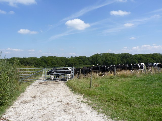
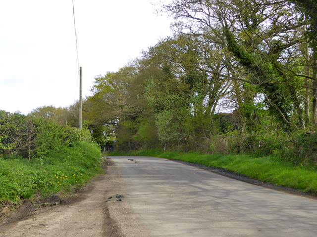
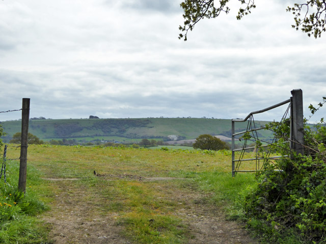
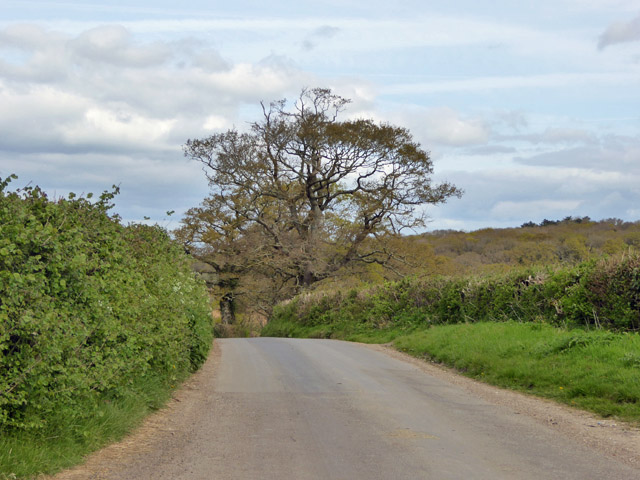
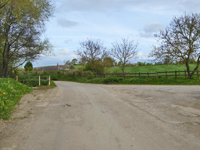
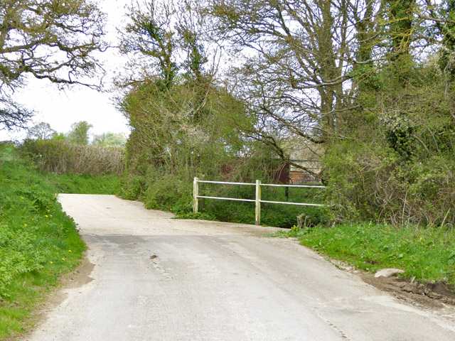
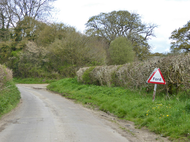
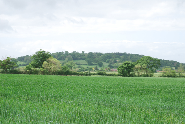
One of the defining features of The Common is its beautiful landscapes. The village is surrounded by lush green fields, where sheep and cattle graze peacefully. The area is also dotted with enchanting woodlands, making it an idyllic spot for nature lovers and hikers.
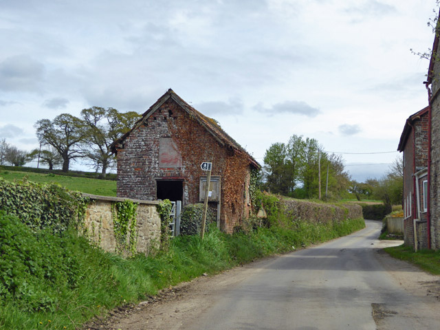
The village itself is characterized by its traditional architecture, with many of its buildings dating back centuries. The local church, St. Mary's, is a stunning example of medieval architecture and serves as a focal point for the community. The village also boasts a charming pub, The Common Inn, where locals and visitors can enjoy a pint of local ale and hearty British cuisine.
The Common is known for its strong sense of community. The residents often come together for events and activities, such as the annual village fete and the Christmas market. These gatherings foster a warm and welcoming atmosphere, making The Common an inviting place to live or visit.
In conclusion, The Common in Dorset is a picturesque village that offers stunning landscapes, traditional architecture, and a close-knit community. Whether exploring the countryside or immersing oneself in the local culture, The Common provides a quintessential English village experience.
If you have any feedback on the listing, please let us know in the comments section below.
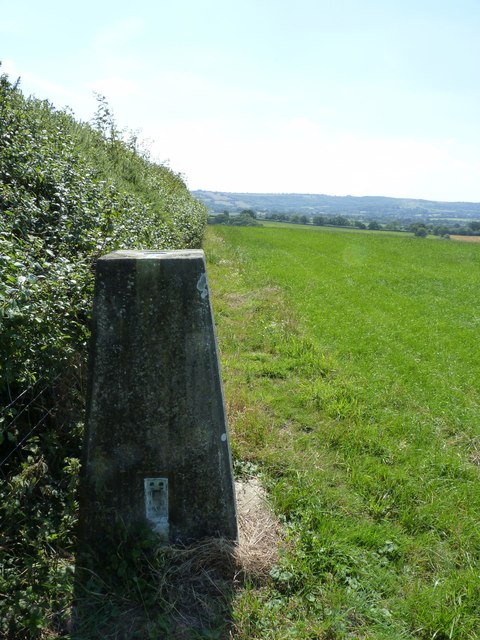
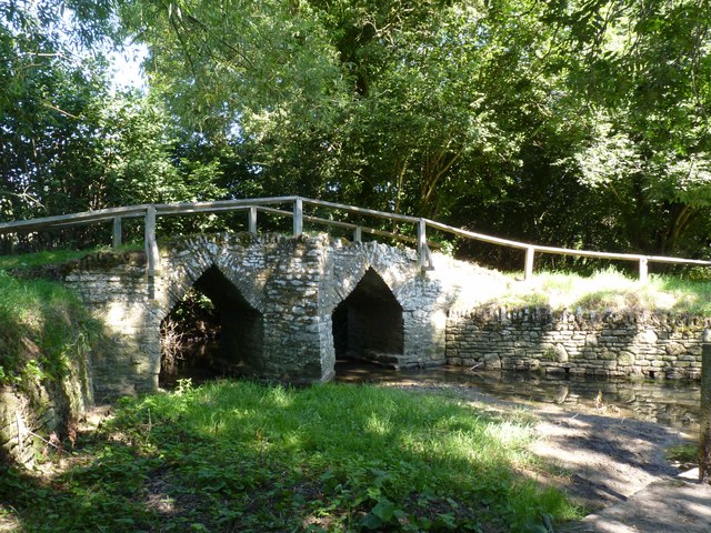
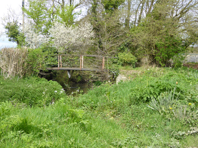
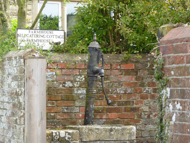
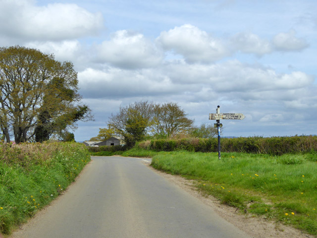
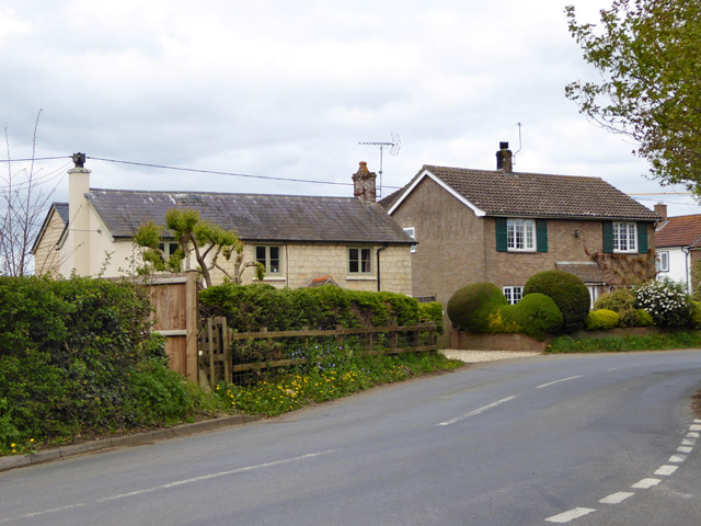
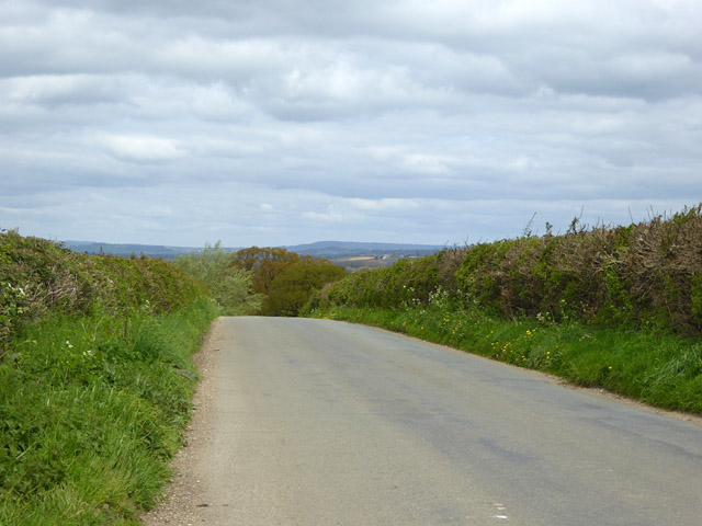
The Common Images
Images are sourced within 2km of 50.898786/-2.3028745 or Grid Reference ST7811. Thanks to Geograph Open Source API. All images are credited.
The Common is located at Grid Ref: ST7811 (Lat: 50.898786, Lng: -2.3028745)
Unitary Authority: Dorset
Police Authority: Dorset
What 3 Words
///remotest.income.petition. Near Sturminster Newton, Dorset
Nearby Locations
Related Wikis

Banbury Hill
Banbury Hillfort, or Banbury Hill Camp, is an Iron Age hillfort, about 1.25 miles (2.0 km) south of Sturminster Newton and 1 mile (1.6 km) north-west of...

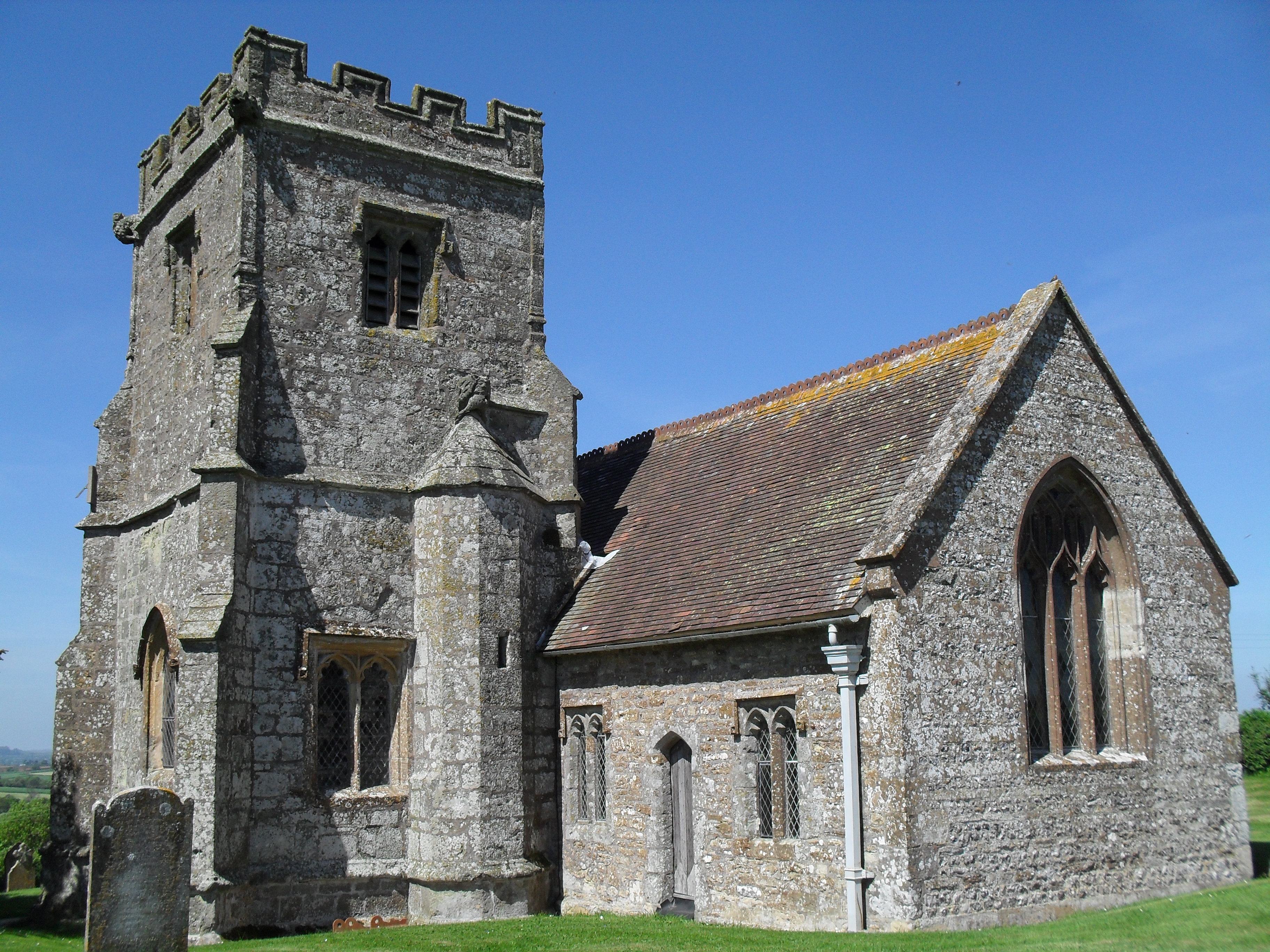
St Aldhelm's Church, Belchalwell
St Aldhelm's Church is a Grade II* listed Anglican church in the village of Belchalwell, Dorset. It is in the ecclesiastical parish of Belchalwell, which...
Belchalwell
Belchalwell is a small village and former civil parish, now in the parish of Okeford Fitzpaine in the Blackmore Vale, in the Dorset district, in the ceremonial...
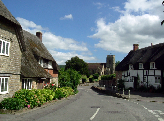
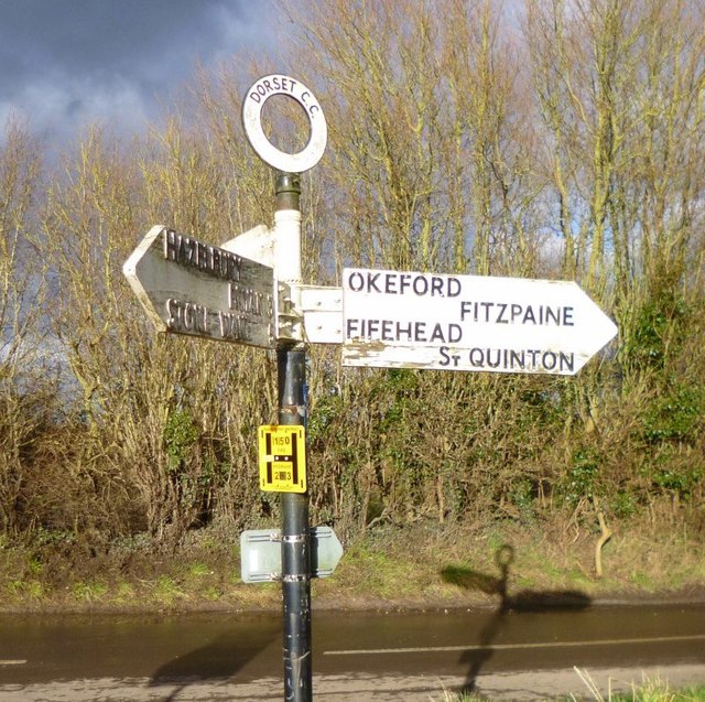
Okeford Fitzpaine
Okeford Fitzpaine is a village and civil parish in the English county of Dorset, situated in the Blackmore Vale three miles (five kilometres) south of...

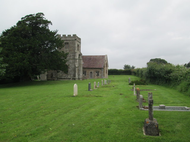
Fifehead Neville
Fifehead Neville is a village and civil parish in the county of Dorset in southern England, situated in the Blackmore Vale about two miles (three kilometres...
Piddles Wood
Piddles Wood is a small area of woodland south of the River Stour, Dorset, and a Site of Special Scientific Interest (SSSI). The site was notified as an...

Fiddleford
Fiddleford is a hamlet in the county of Dorset in southern England. Fiddleford is situated between Sturminster Newton and Okeford Fitzpaine in the North...

Belchalwell Street
Belchalwell Street is a village in Dorset, England, at the foot of Bell Hill, generally included in the village of Belchalwell. == External links == Belchalwell
Nearby Amenities
Located within 500m of 50.898786,-2.3028745Have you been to The Common?
Leave your review of The Common below (or comments, questions and feedback).