Banbury Hill Camp

Heritage Site in Dorset

England

Banbury Hill Camp

Footpath by Piddles Wood A view from the path along the edge of the wood. The Darknoll Brook, a short tributary of the Stour, flows at the base of the slope.
Footpath by Piddles Wood Credit: Des Blenkinsopp

Banbury Hill Camp, located in Dorset, is a significant heritage site that dates back to the Iron Age. Situated near the village of Winterborne Kingston, this ancient hill fort holds great historical importance and is a popular destination for history enthusiasts and visitors alike.

The hill fort is believed to have been constructed during the Late Bronze Age or the Early Iron Age, around 1000 BC. It covers an area of approximately 1.5 hectares and is strategically positioned atop a commanding hill, providing panoramic views of the surrounding landscape. The fort's defenses consist of an impressive ditch and rampart system, which would have served to protect the inhabitants and their livestock.

Excavations at Banbury Hill Camp have unearthed various artifacts, including pottery shards, flint tools, and animal bones, giving archaeologists valuable insights into the lives of its ancient occupants. The discoveries suggest that the site was occupied for several centuries, potentially serving as a settlement or a defensive stronghold.

Visitors to Banbury Hill Camp can explore the site and appreciate the impressive earthworks that have stood the test of time. The fort's elevated position offers breathtaking views of the Dorset countryside and allows visitors to imagine the strategic advantages it once provided. The site is easily accessible, with footpaths leading to the summit and informative signage providing historical context.

Banbury Hill Camp, Dorset, is not only a testament to the engineering skills of the Iron Age people but also serves as a captivating reminder of the region's rich and ancient history.

If you have any feedback on the listing, please let us know in the comments section below.

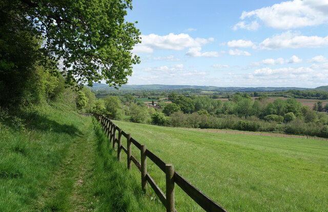
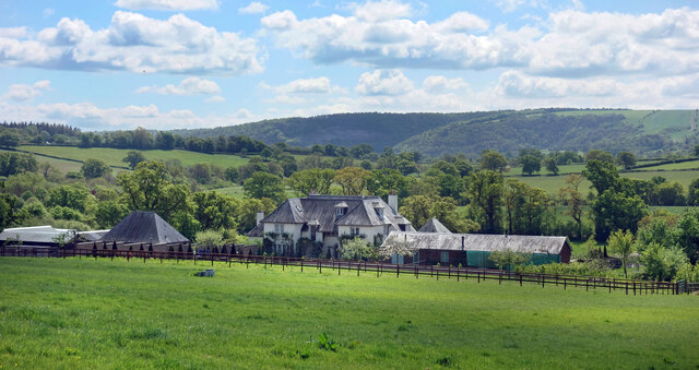
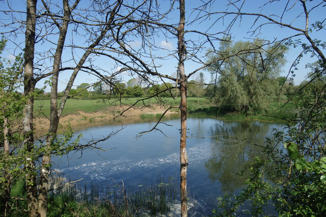
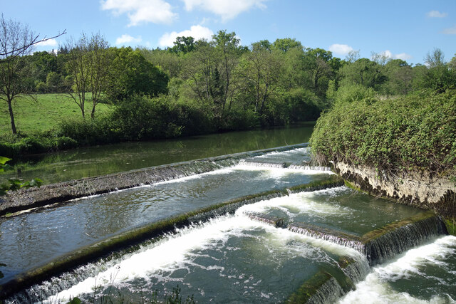
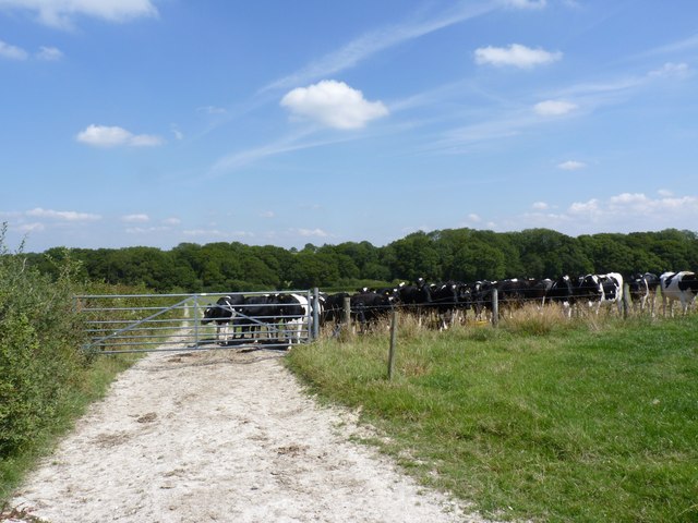
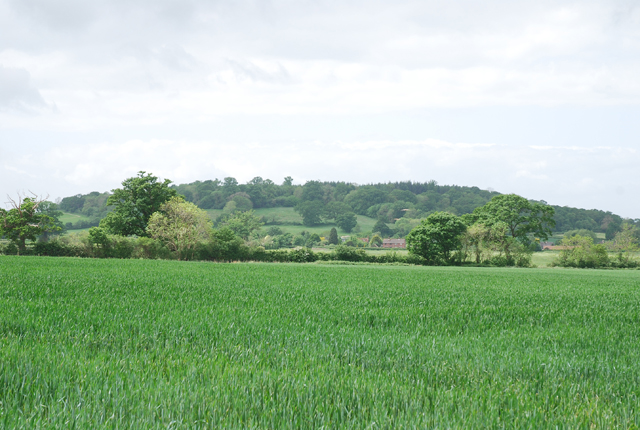
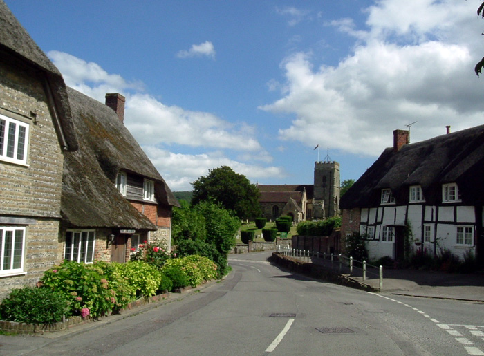
Banbury Hill Camp Images

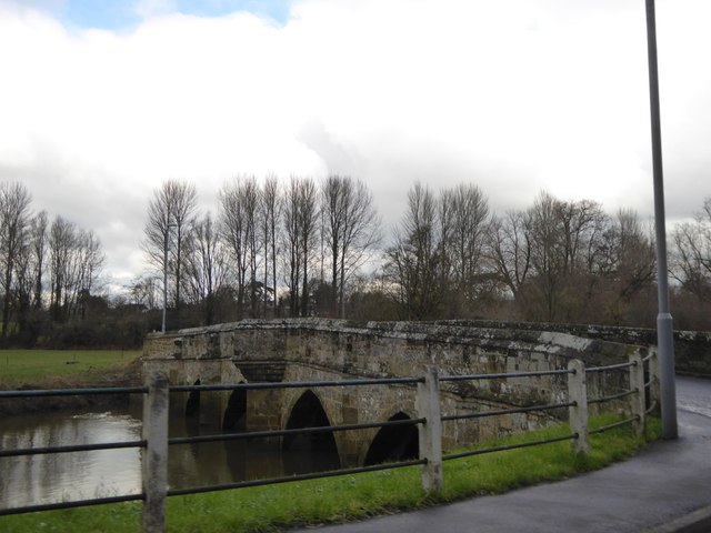
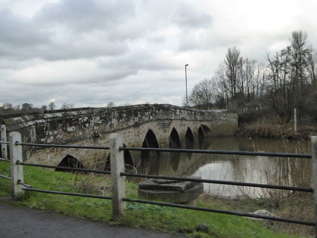
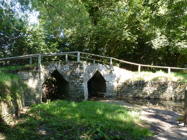
Images are sourced within 2km of 50.9066/-2.3002 or Grid Reference ST7811. Thanks to Geograph Open Source API. All images are credited.

Footpath by Piddles Wood A view from the path along the edge of the wood. The Darknoll Brook, a short tributary of the Stour, flows at the base of the slope.
Footpath by Piddles Wood
A view from the path along the edge of the wood. The Darknoll Brook, a short tributary of the Stour, flows at the base of the slope.
Lodge Farm A large house with sheds. One of three named farms in this square.
Lodge Farm
A large house with sheds. One of three named farms in this square.
River Stour at Fiddleford Mill The weir pool below the mill race.
River Stour at Fiddleford Mill
The weir pool below the mill race.
Weir at Fiddleford Mill The main River Stour drops over the weir while the mill race continues off to the left.
Weir at Fiddleford Mill
The main River Stour drops over the weir while the mill race continues off to the left.
Sluice gear at Fiddleford Mill A bit rusty looking but seemingly still in working order these sluices control the weir between the mill stream and the main river.
Sluice gear at Fiddleford Mill
A bit rusty looking but seemingly still in working order these sluices control the weir between the mill stream and the main river.
Wildflowers on the steps, Fiddleford Mill A disused stairway on one of the outbuildings.
Wildflowers on the steps, Fiddleford Mill
A disused stairway on one of the outbuildings.
Fiddleford Manor Part of a  Manor House built for the Sheriff of Somerset & Dorset in about 1370.
This part of the building is in the care of English Heritage and is open to the public. Another range of buildings behind is still lived in and isn't open.
Fiddleford Manor
Part of a Manor House built for the Sheriff of Somerset & Dorset in about 1370. This part of the building is in the care of English Heritage and is open to the public. Another range of buildings behind is still lived in and isn't open.
Slightly Altered Weir Exactly the same spot as <a href="https://www.geograph.org.uk/photo/2324136">ST8013 : Pool at Fiddleford Weir</a> standing on the footbridge. This is 11 years later and some riffles have been added to the spillway, possibly to churn up the water a bit or make it easier for fish to get up.
Slightly Altered Weir
Exactly the same spot as ST8013 : Pool at Fiddleford Weir standing on the footbridge. This is 11 years later and some riffles have been added to the spillway, possibly to churn up the water a bit or make it easier for fish to get up.
The end wall of a cottage in Newton This wall is interesting for the brick filling the gaps between the wooden beams of the thatched cottage
The end wall of a cottage in Newton
This wall is interesting for the brick filling the gaps between the wooden beams of the thatched cottage
Town Bridge, between Sturminster Newton and Newton
Town Bridge, between Sturminster Newton and Newton (2)
Used car dealer, Newton
A357 in Piddles Wood There is the end of a muddy lay-by on the left
A357 in Piddles Wood
There is the end of a muddy lay-by on the left
Trigpoint at Gardland's Farm
Bridge over River Divelish, Fifehead Newton
Knackers Hole The cows that put us off going any further!
Knackers Hole
The cows that put us off going any further!
Bridge over the River Stour, Sturminster Newton
Picnic area, Sturminster Newton Mill
Show me another place!

Banbury Hill Camp is located at Grid Ref: ST7811 (Lat: 50.9066, Lng: -2.3002)

Unitary Authority: Dorset

Police Authority: Dorset

What 3 Words

///informer.acclaim.urge. Near Sturminster Newton, Dorset

Related Wikis

Banbury Hill

Banbury Hillfort, or Banbury Hill Camp, is an Iron Age hillfort, about 1.25 miles (2.0 km) south of Sturminster Newton and 1 mile (1.6 km) north-west of...

Piddles Wood

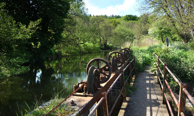
Piddles Wood is a small area of woodland south of the River Stour, Dorset, and a Site of Special Scientific Interest (SSSI). The site was notified as an...

Fiddleford

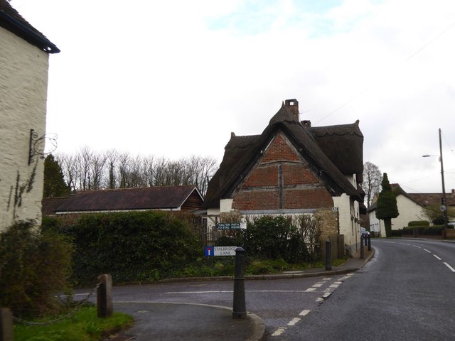
Fiddleford is a hamlet in the county of Dorset in southern England. Fiddleford is situated between Sturminster Newton and Okeford Fitzpaine in the North...

Sturminster Newton Hundred

Sturminster Newton Hundred or Sturminster Newton Castle Hundred was a hundred in the county of Dorset, England, containing the following parishes: Hinton...

Sturminster Newton Castle

Sturminster Newton Castle is a site consisting of the remains of a medieval manor house within an Iron Age hillfort, near Sturminster Newton in Dorset...

Girdlers Coppice

Girdlers Coppice is a nature reserve of the Dorset Wildlife Trust, near Sturminster Newton, in Dorset, England. It is an ancient woodland, adjacent to...

Okeford Fitzpaine

Okeford Fitzpaine is a village and civil parish in the English county of Dorset, situated in the Blackmore Vale three miles (five kilometres) south of...
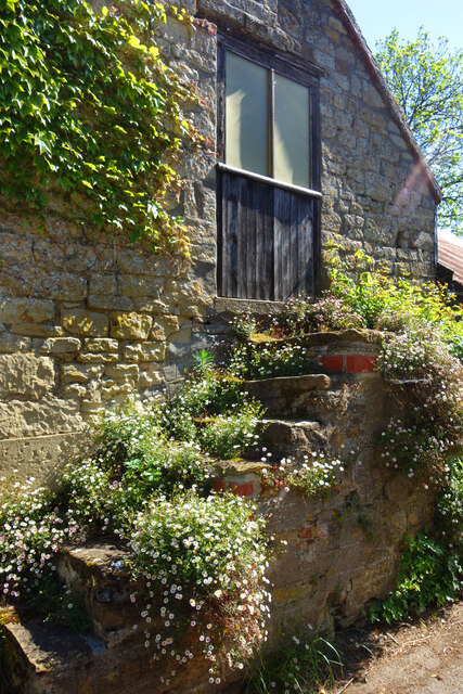
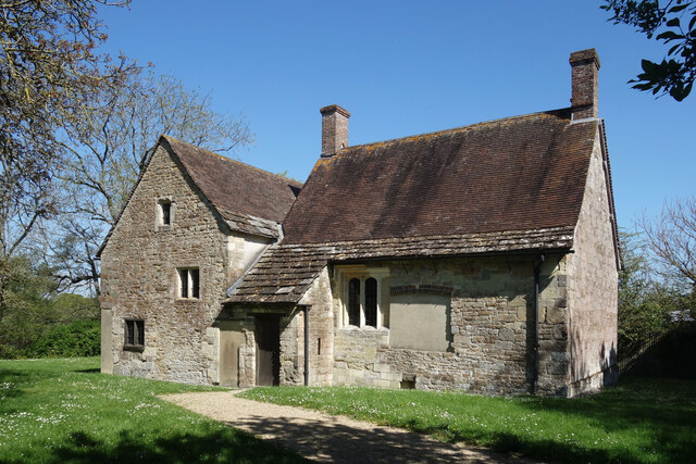
Fiddleford Manor

Fiddleford Manor (also known as Fiddleford Mill) is a medieval manor house located near Sturminster Newton, Dorset. It is thought to have been originally...

Nearby Amenities

Located within 500m of 50.9066,-2.3002
The data included in this document is from www.openstreetmap.org. The data is made available under ODbL.

Have you been to Banbury Hill Camp?

Leave your review of Banbury Hill Camp below (or comments, questions and feedback).