Okeford Common

Wood, Forest in Dorset

England

Okeford Common

Lodge Farm A large house with sheds. One of three named farms in this square.
Lodge Farm Credit: Des Blenkinsopp

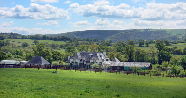
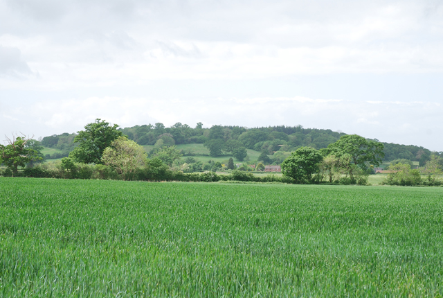
Okeford Common is a picturesque wood located in the county of Dorset, England. It covers an area of approximately 150 hectares and is situated near the village of Okeford Fitzpaine. The wood is part of the larger Cranborne Chase and West Wiltshire Downs Area of Outstanding Natural Beauty.

The common is characterized by its dense forest cover, featuring a diverse range of tree species such as oak, beech, and ash. The woodland floor is rich in flora, including bluebells, wild garlic, and ferns, creating a vibrant and colorful setting throughout the year.

Okeford Common is a haven for wildlife, providing a habitat for various species. It is particularly renowned for its bird population, with species such as woodpeckers, nightjars, and crossbills being frequently spotted. The common also supports a variety of mammals, including deer, foxes, and badgers.

The wood is intersected by several footpaths and trails, making it a popular destination for walkers, hikers, and nature enthusiasts. These paths offer breathtaking views of the surrounding countryside, allowing visitors to immerse themselves in the tranquil and idyllic atmosphere of the common.

Okeford Common also holds historical significance, with evidence of human activity dating back to the Bronze Age. Remains of ancient barrows and earthworks can be found within the wood, providing insight into the area's past.

Overall, Okeford Common is a cherished natural gem in Dorset, offering a serene and enchanting woodland experience for visitors of all ages.

If you have any feedback on the listing, please let us know in the comments section below.

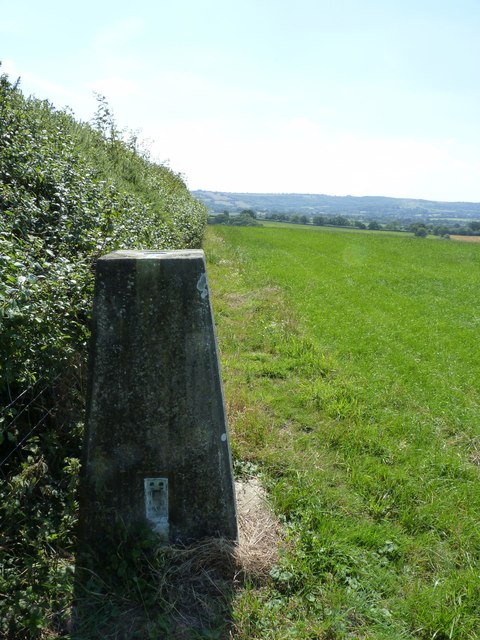
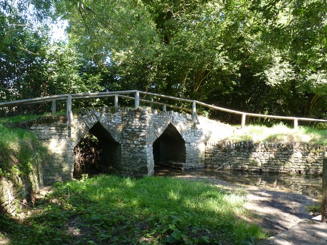
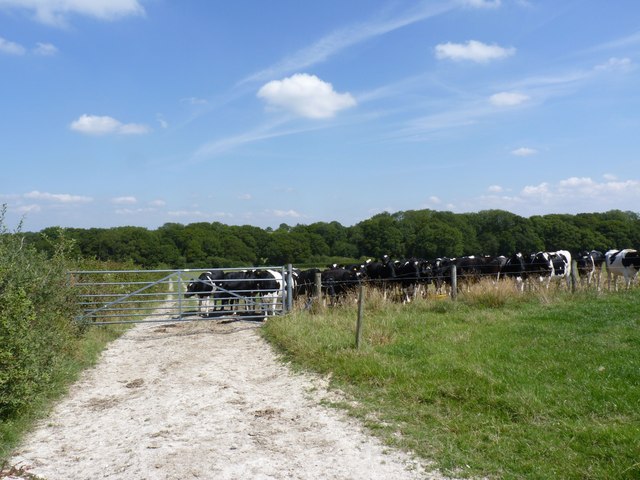
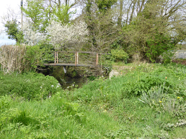
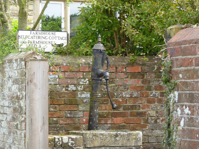
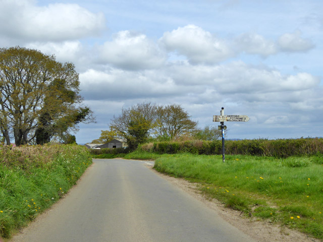
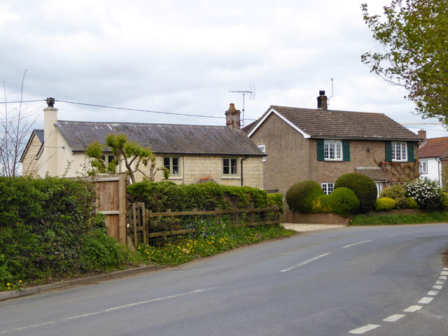
Okeford Common Images

Images are sourced within 2km of 50.904023/-2.3048426 or Grid Reference ST7811. Thanks to Geograph Open Source API. All images are credited.

Lodge Farm A large house with sheds. One of three named farms in this square.
Lodge Farm
A large house with sheds. One of three named farms in this square.
The end wall of a cottage in Newton This wall is interesting for the brick filling the gaps between the wooden beams of the thatched cottage
The end wall of a cottage in Newton
This wall is interesting for the brick filling the gaps between the wooden beams of the thatched cottage
Town Bridge, between Sturminster Newton and Newton
Town Bridge, between Sturminster Newton and Newton (2)
Used car dealer, Newton
Trigpoint at Gardland's Farm
Bridge over River Divelish, Fifehead Newton
Knackers Hole The cows that put us off going any further!
Knackers Hole
The cows that put us off going any further!
Bridge over the River Stour, Sturminster Newton
Picnic area, Sturminster Newton Mill
The millpond, Sturminster Newton Mill This millpond is of the type that is alongside the river.
The millpond, Sturminster Newton Mill
This millpond is of the type that is alongside the river.
Sturminster Newton Mill The Mill existed in the 11C, as it was mentioned in Domesday Book. The part of the building with the gable facing the camera was last rebuilt c,1650. The wing to the right was built in the 18C, replacing a fulling mill. The two water wheels were replaced by a turbine in 1904. The mill is still in working order and produces flour to sell to visitors. (Information from the Sturminster Newton Museum and Mill Society's website: <span class="nowrap"><a title="http://www.sturminsternewton-museum.co.uk/the-mill/" rel="nofollow ugc noopener" href="http://www.sturminsternewton-museum.co.uk/the-mill/">Link</a><img style="margin-left:2px;" alt="External link" title="External link - shift click to open in new window" src="https://s1.geograph.org.uk/img/external.png" width="10" height="10"/></span> .)
Sturminster Newton Mill
The Mill existed in the 11C, as it was mentioned in Domesday Book. The part of the building with the gable facing the camera was last rebuilt c,1650. The wing to the right was built in the 18C, replacing a fulling mill. The two water wheels were replaced by a turbine in 1904. The mill is still in working order and produces flour to sell to visitors. (Information from the Sturminster Newton Museum and Mill Society's website: LinkExternal link .)
Millpond overflow, Sturminster Newton Mill
Footbridge over River Divelish Across the road from Lower Fifehead Farm.
Footbridge over River Divelish
Across the road from Lower Fifehead Farm.
Old pump, Lower Fifehead Farm
Road junction, Fifehead Common Roads converge towards Sturminster Newton, but the signpost arm for that direction has broken off, and for behind the camera. The remains of one arm suggest they are made of plywood.
Road junction, Fifehead Common
Roads converge towards Sturminster Newton, but the signpost arm for that direction has broken off, and for behind the camera. The remains of one arm suggest they are made of plywood.
Houses, Rivers Corner
A357 beside the River Stour at Sturminster Newton
Show me another place!

Okeford Common is located at Grid Ref: ST7811 (Lat: 50.904023, Lng: -2.3048426)

Unitary Authority: Dorset

Police Authority: Dorset

What 3 Words

///lately.consoled.spilled. Near Sturminster Newton, Dorset

Related Wikis

Banbury Hill

Banbury Hillfort, or Banbury Hill Camp, is an Iron Age hillfort, about 1.25 miles (2.0 km) south of Sturminster Newton and 1 mile (1.6 km) north-west of...

Piddles Wood

Piddles Wood is a small area of woodland south of the River Stour, Dorset, and a Site of Special Scientific Interest (SSSI). The site was notified as an...

Fiddleford

Fiddleford is a hamlet in the county of Dorset in southern England. Fiddleford is situated between Sturminster Newton and Okeford Fitzpaine in the North...

Sturminster Newton Hundred

Sturminster Newton Hundred or Sturminster Newton Castle Hundred was a hundred in the county of Dorset, England, containing the following parishes: Hinton...

Sturminster Newton Castle

Sturminster Newton Castle is a site consisting of the remains of a medieval manor house within an Iron Age hillfort, near Sturminster Newton in Dorset...

Fifehead Neville

Fifehead Neville is a village and civil parish in the county of Dorset in southern England, situated in the Blackmore Vale about two miles (three kilometres...

St Aldhelm's Church, Belchalwell

St Aldhelm's Church is a Grade II* listed Anglican church in the village of Belchalwell, Dorset. It is in the ecclesiastical parish of Belchalwell, which...

Belchalwell

Belchalwell is a small village and former civil parish, now in the parish of Okeford Fitzpaine in the Blackmore Vale, in the Dorset district, in the ceremonial...

Nearby Amenities

Located within 500m of 50.904023,-2.3048426
Power: pole
Source: bing
Lat/Long: 50.9000024/-2.3065026
Power: pole
Source: bing
Lat/Long: 50.8999694/-2.3053734
Power: pole
Source: bing
Lat/Long: 50.8999348/-2.3041852
Power: pole
Source: bing
Lat/Long: 50.8999052/-2.303005
The data included in this document is from www.openstreetmap.org. The data is made available under ODbL.

Have you been to Okeford Common?

Leave your review of Okeford Common below (or comments, questions and feedback).