Golden Knoll Wood
Wood, Forest in Gloucestershire Stroud
England
Golden Knoll Wood

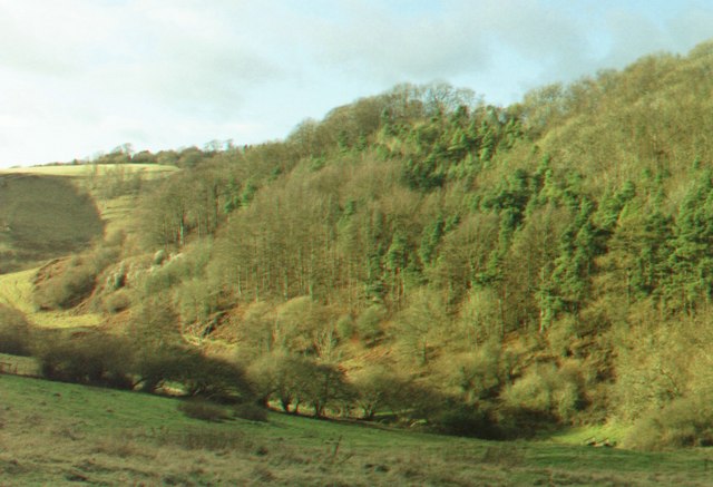
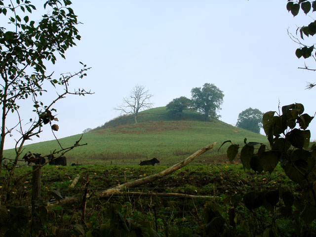
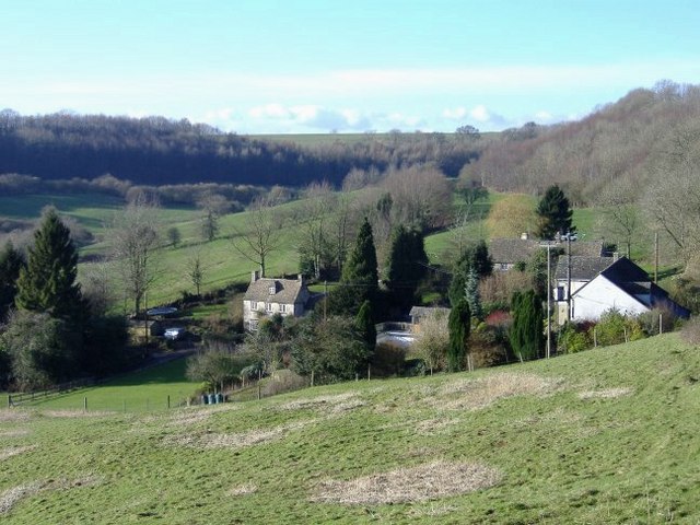
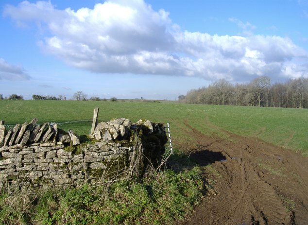
Golden Knoll Wood is a picturesque forest located in Gloucestershire, England. Spanning over a vast area, this woodland is nestled within the beautiful countryside of the county. The forest is well-known for its enchanting scenery, diverse flora, and abundant wildlife.
As its name suggests, Golden Knoll Wood is particularly renowned for its golden autumnal hues when the leaves of the trees turn various shades of yellow, orange, and red. This seasonal transformation attracts numerous visitors who come to witness the breathtaking spectacle of nature.
The woodland is primarily composed of deciduous trees, including oak, beech, and birch, which create a dense canopy that offers shelter and shade to a variety of wildlife species. It serves as a habitat for various birds, such as woodpeckers, owls, and pheasants, as well as small mammals like squirrels, foxes, and badgers.
Walking trails wind through the forest, allowing visitors to explore its natural beauty at their leisure. These paths are well-maintained and provide easy access to the woodland's most scenic spots, including a hidden lake and a tranquil stream that meanders through the trees.
Golden Knoll Wood also offers recreational activities for nature enthusiasts, such as birdwatching, photography, and picnicking. Furthermore, the forest is a popular destination for educational visits, with local schools frequently organizing trips to teach students about the importance of preserving and appreciating the natural environment.
In conclusion, Golden Knoll Wood in Gloucestershire is a captivating woodland that captivates visitors with its stunning autumn colors, abundant wildlife, and serene atmosphere. It provides a peaceful retreat for both nature lovers and those seeking a break from the hustle and bustle of everyday life.
If you have any feedback on the listing, please let us know in the comments section below.
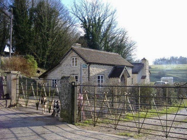
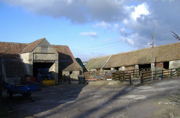
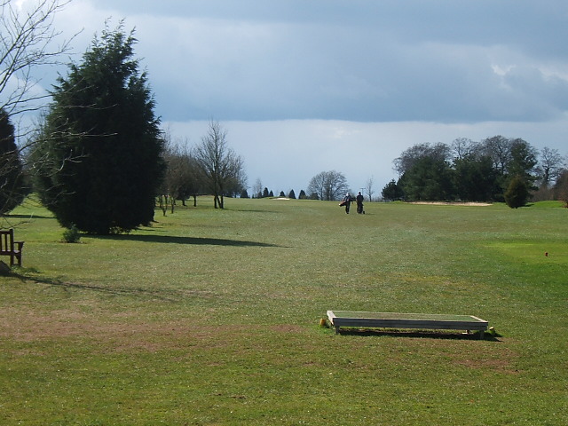
Golden Knoll Wood Images
Images are sourced within 2km of 51.654513/-2.3098551 or Grid Reference ST7895. Thanks to Geograph Open Source API. All images are credited.


Golden Knoll Wood is located at Grid Ref: ST7895 (Lat: 51.654513, Lng: -2.3098551)
Administrative County: Gloucestershire
District: Stroud
Police Authority: Gloucestershire
What 3 Words
///ahead.electrode.entrusted. Near Wotton-under-Edge, Gloucestershire
Nearby Locations
Related Wikis

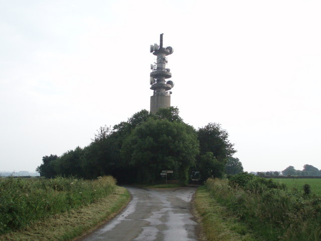
Wotton-under-Edge BT Tower
Wotton-under-Edge Tower is a 76.2 metres ( 250 ft) tall telecommunication tower built of reinforced concrete at Wotton-under-Edge in Gloucestershire, UK...

Ozleworth
Ozleworth is a village and civil parish in Gloucestershire, England, approximately 30 km (19 mi) south of Gloucester. It lies in the Cotswolds, an Area...

St Nicholas of Myra's Church, Ozleworth
St Nicholas of Myra's Church is a redundant Anglican church in the village of Ozleworth, Gloucestershire, England, in the care of The Churches Conservation...
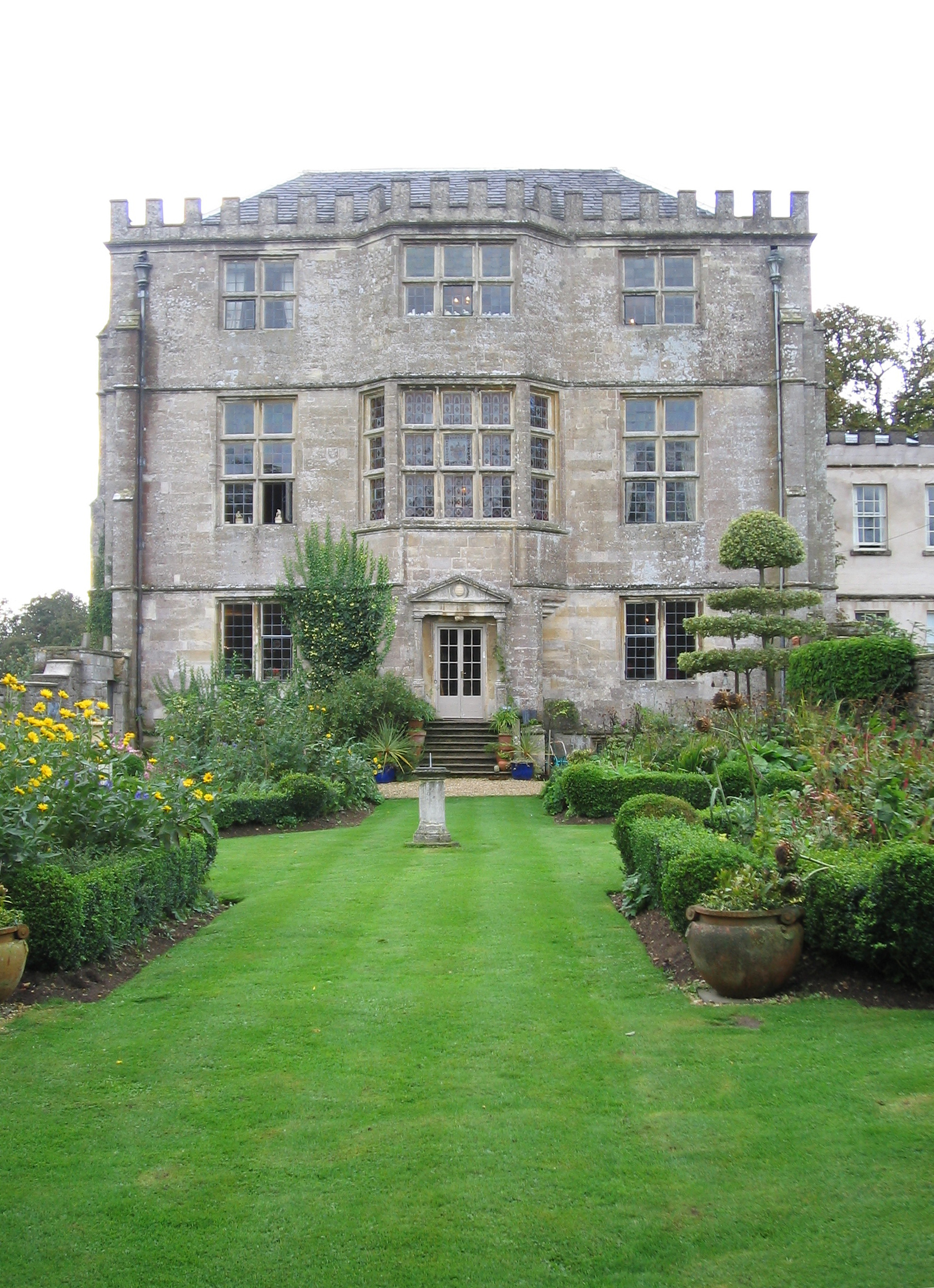
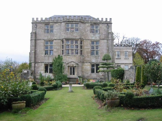
Newark Park
Newark Park is a Grade I listed country house of Tudor origins located near the village of Ozleworth, Wotton-under-Edge, Gloucestershire. The house sits...

Coombe, Gloucestershire
Coombe is a settlement in the English county of Gloucestershire. It is adjacent to the town of Wotton-under-Edge. The town name can also be found spelled...

A4135 road
The A4135 road is a road in Gloucestershire, England, connecting the town of Tetbury with the M5 motorway and the A38 road to the west, passing through...

Coombe Hill (Cotswolds)
Coombe Hill (grid reference ST765942) is a 15.4-hectare (38-acre) biological Site of Special Scientific Interest in Gloucestershire, notified in 1994.The...

Bagpath
Bagpath is a hamlet in Gloucestershire, England, in the Ozleworth valley south of the village of Kingscote and forming part of Kingscote civil parish....
Nearby Amenities
Located within 500m of 51.654513,-2.3098551Have you been to Golden Knoll Wood?
Leave your review of Golden Knoll Wood below (or comments, questions and feedback).