Round Wood
Wood, Forest in Gloucestershire Stroud
England
Round Wood

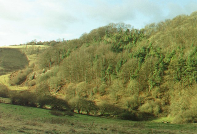
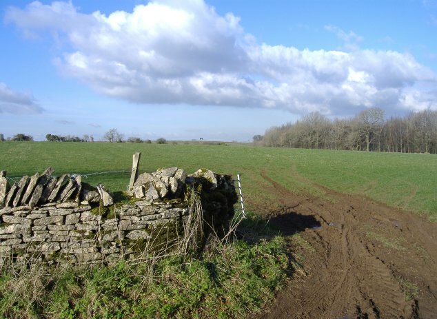
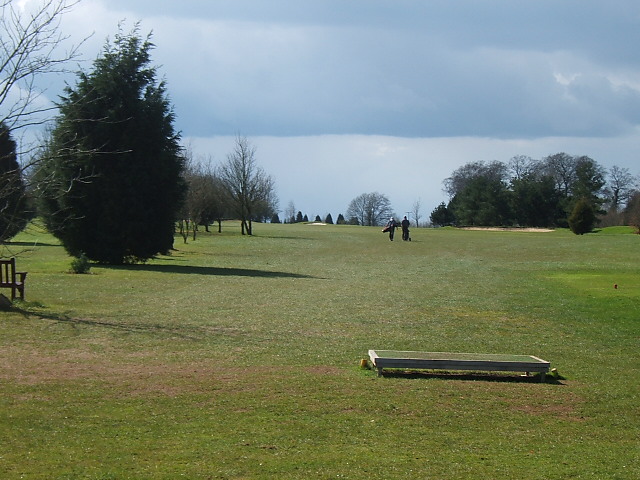
Round Wood is a quaint woodland located in Gloucestershire, England. Nestled within the picturesque Forest of Dean, this area is renowned for its natural beauty and rich history. The wood is characterized by its dense canopy of mature trees, predominantly consisting of oak, beech, and birch. It covers an area of approximately 50 acres and is a popular destination for locals and tourists alike.
The wood's name, Round Wood, derives from its circular shape, which is said to have been formed by centuries of natural growth and human intervention. It is known for its well-maintained footpaths and trails, providing visitors with the opportunity to explore the wood and enjoy its tranquil surroundings. These paths lead to various points of interest within the wood, including an ancient oak tree that is estimated to be over 500 years old.
Round Wood is home to a diverse range of wildlife, with several species of birds, mammals, and insects inhabiting the area. Bird enthusiasts can spot woodpeckers, owls, and various songbirds, while nature lovers may come across deer, foxes, and squirrels. The wood is also abundant in wildflowers, creating a vibrant and colorful landscape during the spring and summer months.
In addition to its natural beauty, Round Wood holds historical significance. It is believed that the wood has been used for timber production since Roman times, with remnants of old saw pits and charcoal platforms still visible today. This ancient history adds to the charm and allure of Round Wood, making it a must-visit destination for those seeking a peaceful retreat in the heart of Gloucestershire.
If you have any feedback on the listing, please let us know in the comments section below.
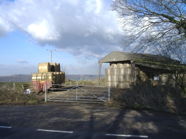
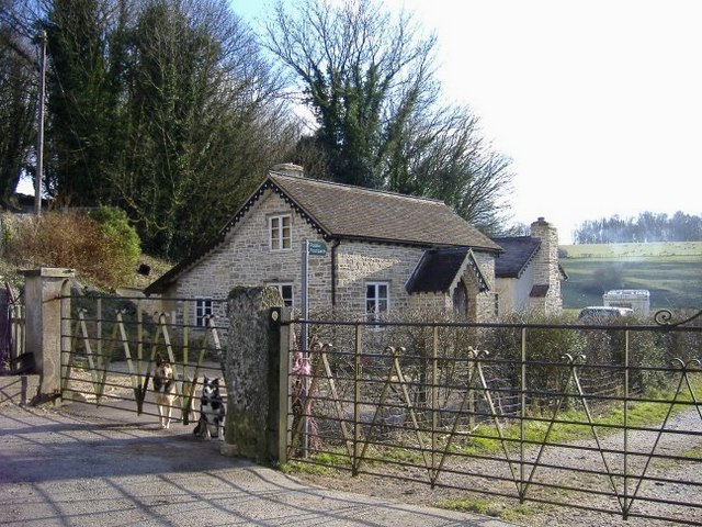
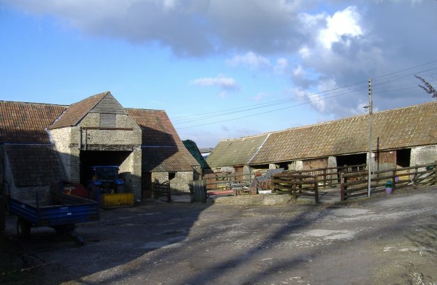
Round Wood Images
Images are sourced within 2km of 51.656688/-2.3068487 or Grid Reference ST7895. Thanks to Geograph Open Source API. All images are credited.


Round Wood is located at Grid Ref: ST7895 (Lat: 51.656688, Lng: -2.3068487)
Administrative County: Gloucestershire
District: Stroud
Police Authority: Gloucestershire
What 3 Words
///clapper.bombshell.mistress. Near Wotton-under-Edge, Gloucestershire
Nearby Locations
Related Wikis

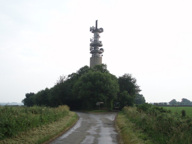
Wotton-under-Edge BT Tower
Wotton-under-Edge Tower is a 76.2 metres ( 250 ft) tall telecommunication tower built of reinforced concrete at Wotton-under-Edge in Gloucestershire, UK...

Ozleworth
Ozleworth is a village and civil parish in Gloucestershire, England, approximately 30 km (19 mi) south of Gloucester. It lies in the Cotswolds, an Area...

A4135 road
The A4135 road is a road in Gloucestershire, England, connecting the town of Tetbury with the M5 motorway and the A38 road to the west, passing through...

St Nicholas of Myra's Church, Ozleworth
St Nicholas of Myra's Church is a redundant Anglican church in the village of Ozleworth, Gloucestershire, England, in the care of The Churches Conservation...
Bencombe
Bencombe is a hamlet made up of 9 mainly traditional stone cottages/houses in the parish of Uley and just south west of Owlpen on the edge of the Cotswolds...
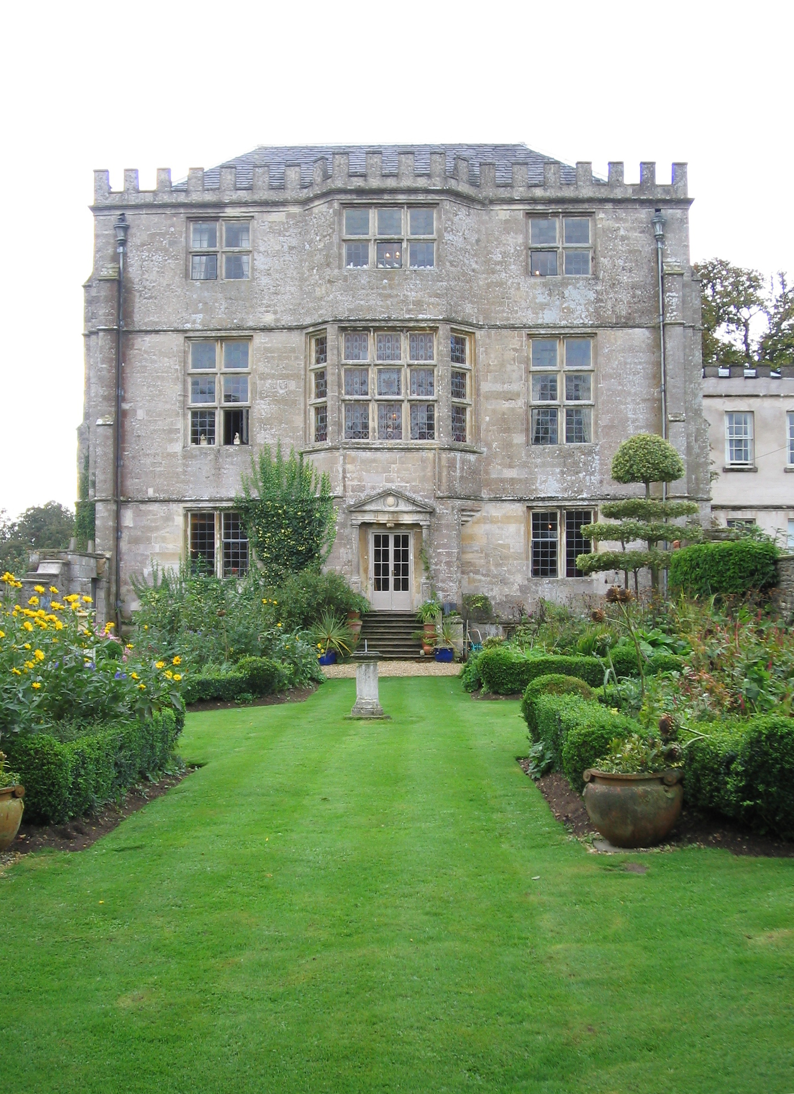
Newark Park
Newark Park is a Grade I listed country house of Tudor origins located near the village of Ozleworth, Wotton-under-Edge, Gloucestershire. The house sits...

Bagpath
Bagpath is a hamlet in Gloucestershire, England, in the Ozleworth valley south of the village of Kingscote and forming part of Kingscote civil parish....

Stouts Hill
Stouts Hill is an 18th-Century Gothic revival country house situated in the Cotswolds, just outside the village of Uley. Although there are records of...
Nearby Amenities
Located within 500m of 51.656688,-2.3068487Have you been to Round Wood?
Leave your review of Round Wood below (or comments, questions and feedback).