Kingston Hill

Settlement in Surrey

England

Kingston Hill

Kingston Bridge
Kingston Bridge Credit: Alex McGregor

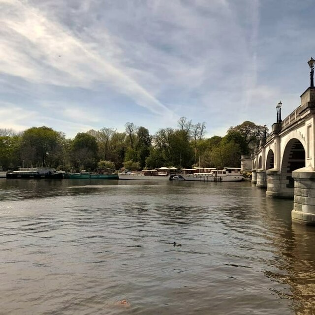
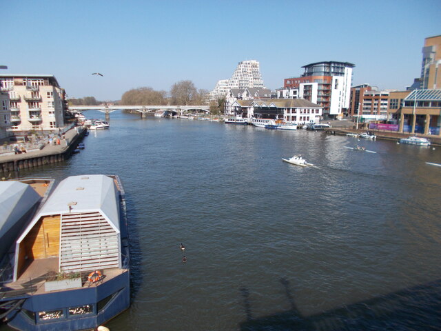
Kingston Hill is a prestigious residential area located in the borough of Kingston upon Thames, in the county of Surrey, England. Situated on a hillside overlooking the River Thames, this affluent neighborhood offers stunning views and a tranquil atmosphere.

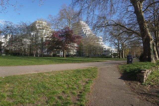
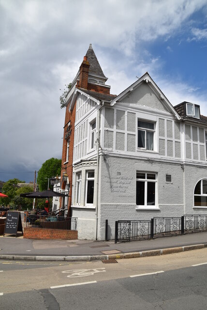
The area is renowned for its beautiful Victorian and Edwardian houses, many of which have been converted into apartments. The properties in Kingston Hill are known for their grandeur, with spacious gardens and well-maintained exteriors. The neighborhood also boasts several exclusive gated communities and modern luxury developments, attracting affluent residents and professionals.

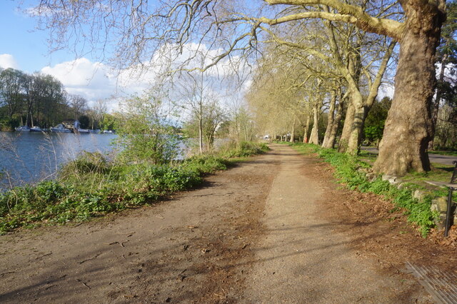
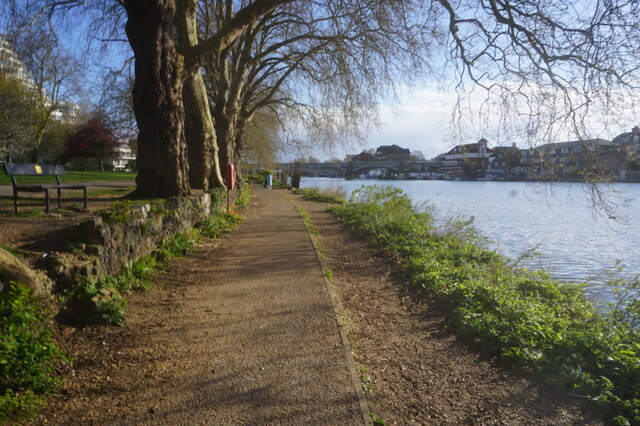
One of the key attractions of Kingston Hill is its proximity to Richmond Park, one of the largest royal parks in London. Residents can enjoy the park's vast green spaces, woodlands, and picturesque ponds, making it a popular spot for outdoor activities such as cycling, jogging, and horse riding.

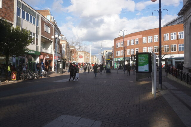
Kingston Hill also offers excellent transport links, with frequent bus services connecting the area to Kingston town center, where residents can access a wide range of amenities including shops, restaurants, and leisure facilities. The area is well-served by schools, with several reputable primary and secondary educational institutions in the vicinity.

Overall, Kingston Hill is a highly sought-after neighborhood, known for its affluent residents, stunning properties, and proximity to green spaces. Its combination of natural beauty, exclusivity, and convenient location make it an ideal place to live for those seeking a high-quality lifestyle.

If you have any feedback on the listing, please let us know in the comments section below.

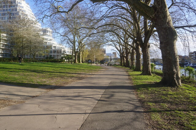
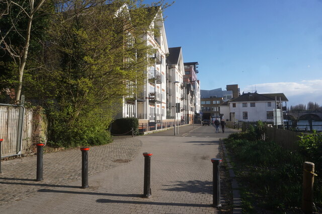
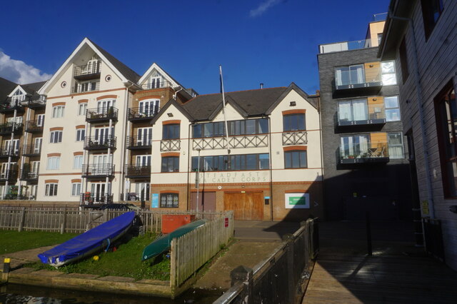
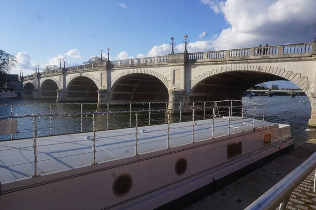
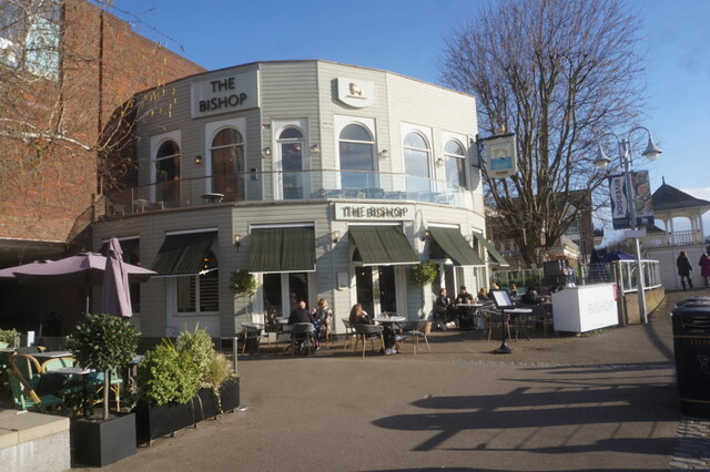
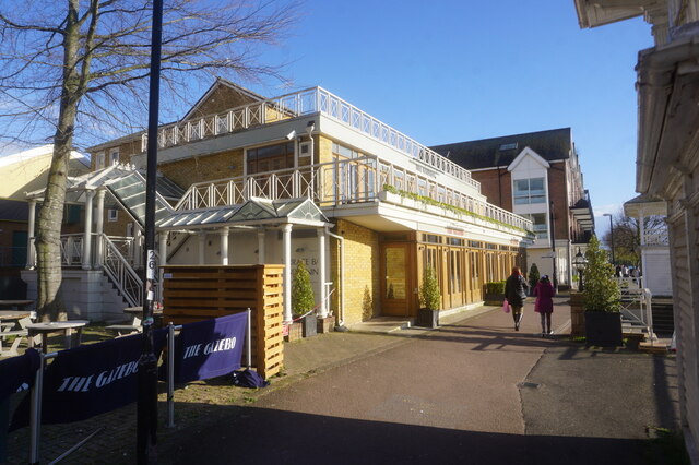
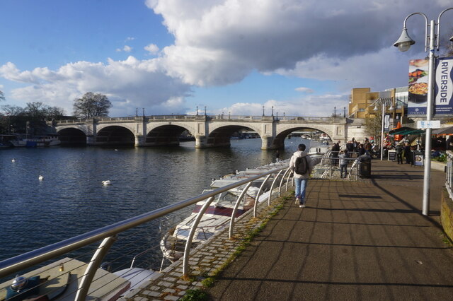
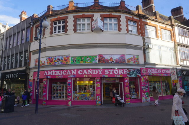
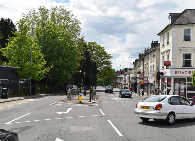
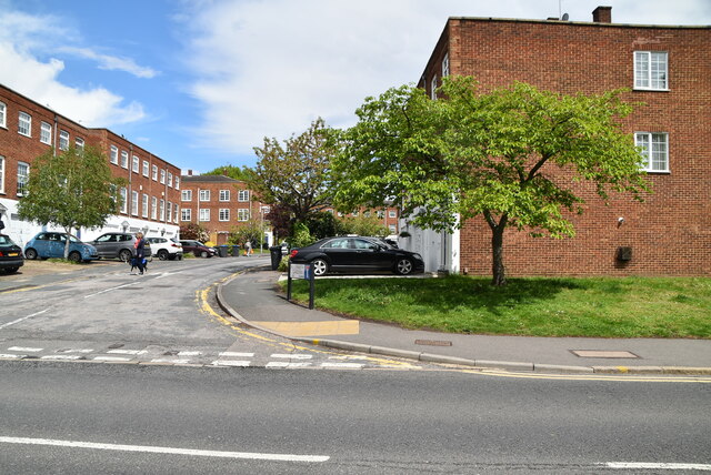
Kingston Hill Images

Images are sourced within 2km of 51.419154/-0.28584148 or Grid Reference TQ1970. Thanks to Geograph Open Source API. All images are credited.

Kingston Bridge
Kingston Bridge
Thames Path, Kingston upon Thames
Thames Side, Kingston upon Thames
Kingston Bridge, Kingston upon Thames
The Bishop public house Kingston Riverside. Kingston upon Thames.
The Bishop public house
Kingston Riverside. Kingston upon Thames.
The Gazebo public house Kingston Riverside. Kingston upon Thames.
The Gazebo public house
Kingston Riverside. Kingston upon Thames.
Kingston Riverside. Kingston upon Thames
American Candy Store, Kingston upon Hull
Clarence Street, Kingston upon Thames
River Thames from Kingston Bridge
B351, A308 junction The B351 consists of two roads either side of Richmond Park. It runs 4.5 miles from Norbiton <a href="https://www.geograph.org.uk/photo/7213742">TQ1969 : B351, A308 junction</a> to Mortlake.
B351, A308 junction
The B351 consists of two roads either side of Richmond Park. It runs 4.5 miles from Norbiton TQ1969 : B351, A308 junction to Mortlake.
The Albert
The Albert
A308, Kingston Hill The A308 is a road in West London. It is in 2 parts, Brompton to Fulham and Richmond Park to Maidenhead.
Wikipedia: <span class="nowrap"><a title="http://en.wikipedia.org/wiki/A308_road" rel="nofollow ugc noopener" href="http://en.wikipedia.org/wiki/A308_road">Link</a><img style="margin-left:2px;" alt="External link" title="External link - shift click to open in new window" src="https://s1.geograph.org.uk/img/external.png" width="10" height="10"/></span>
A308, Kingston Hill
The A308 is a road in West London. It is in 2 parts, Brompton to Fulham and Richmond Park to Maidenhead. Wikipedia: LinkExternal link
Blenheim Garden
Blenheim Garden
Show me another place!

Kingston Hill is located at Grid Ref: TQ1970 (Lat: 51.419154, Lng: -0.28584148)

Unitary Authority: Kingston upon Thames

Police Authority: Metropolitan

What 3 Words

///asserts.music.lies. Near Kingston upon Thames, London

Related Wikis

St Agatha's Roman Catholic Church, Kingston upon Thames

St Agatha's is a Roman Catholic church on Wyndham Road in Kingston upon Thames, London. It is dedicated to Saint Agatha of Sicily. The Italianate church...

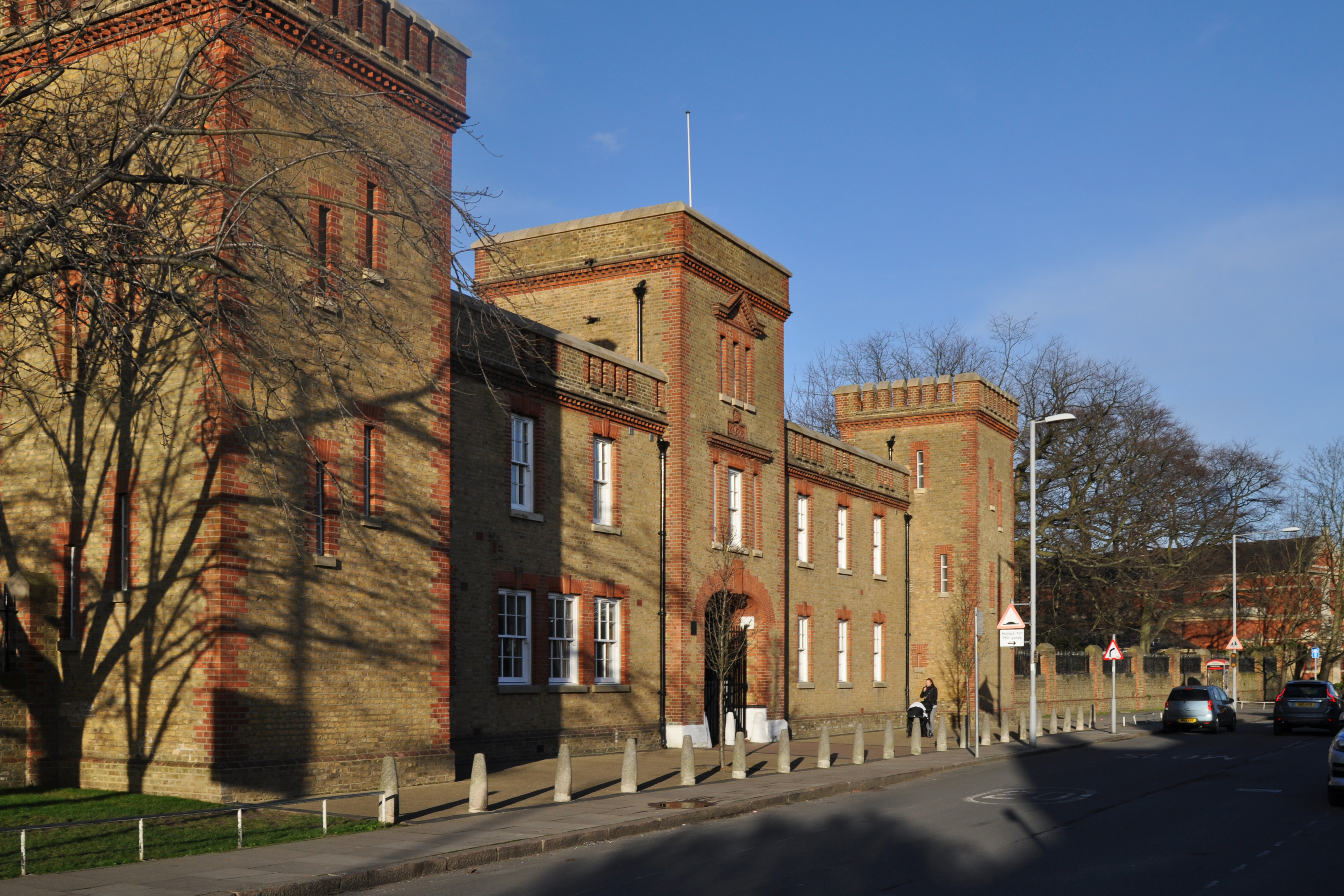
The Barracks, Kingston upon Thames

The Barracks was a military installation in Kingston upon Thames. == History == The barracks were built on agricultural land between 1874 and 1875. Their...

Kingston Hospital

Kingston Hospital is an acute hospital in Kingston upon Thames, England. It is managed by the Kingston Hospital NHS Foundation Trust. It has an Accident...

Norbiton railway station

Norbiton Railway Station is a railway station located in Norbiton, a suburb in the Royal Borough of Kingston upon Thames, in southwest London. It is on...

Latchmere Recreation Ground, Kingston upon Thames

Latchmere Recreation Ground is a public open space with playing fields and a children's playground in the north of the Royal Borough of Kingston upon Thames...
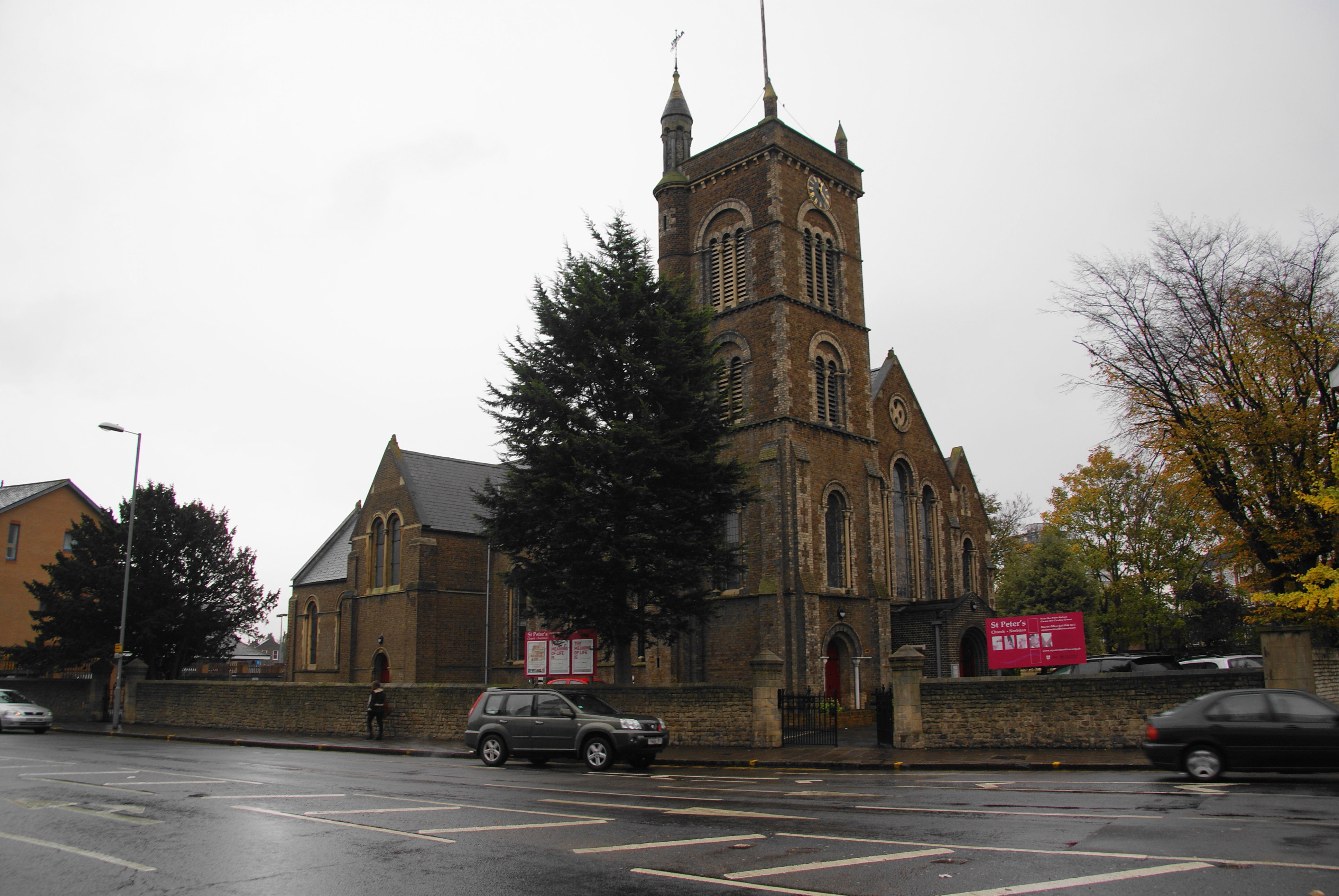
Norbiton

Norbiton is an area within the Royal Borough of Kingston upon Thames, London. It lies approximately 1 mile (1.6 km) east of Kingston upon Thames town centre...

St Luke's Church, Kingston upon Thames

St Luke's Church is a Grade II listed Church of England church on Gibbon Road in Kingston upon Thames, London. Designed by the Leeds architectural firm...

Holy Cross Preparatory School

Holy Cross Preparatory School is an independent preparatory school for girls aged 4–11 in Coombe, London, England. == History == Holy Cross Preparatory...

Nearby Amenities

Located within 500m of 51.419154,-0.28584148
Traffic Calming: table
Lat/Long: 51.4201749/-0.2863499
Mini Roundabout
Direction: clockwise
Lat/Long: 51.4217852/-0.2861798
Mini Roundabout
Direction: clockwise
Lat/Long: 51.4197191/-0.2890357
Traffic Calming: bump
Lat/Long: 51.4197711/-0.282458
Traffic Calming: bump
Lat/Long: 51.4202313/-0.2925713
Noexit: yes
Lat/Long: 51.4225707/-0.2884721
Pub
The Park Tavern
Addr City: Kingston upon Thames
Addr Housenumber: 19
Addr Postcode: KT2 6AP
Addr Street: New Road
Fhrs Id: 1385865
Source Addr: FHRS Open Data
Toilets: yes
Toilets Access: customers
Lat/Long: 51.4195033/-0.2875532
Traffic Calming: bump
Lat/Long: 51.4182223/-0.2834417
Post Box
Kingston Hill Post Office
Mapillary: 957655691661966
Operator: Royal Mail
Operator Wikidata: Q638098
Post Box Type: pillar
Ref: KT2 92
Survey Date: 2021-02-01
Lat/Long: 51.4157806/-0.2846839
Noexit: yes
Lat/Long: 51.4226736/-0.28851
Post Office
Created By: Potlatch 0.10b
Lat/Long: 51.418559/-0.2889635
Post Box
Collection Times: Mo-Fr 17:00; Sa 12:15
Operator: Royal Mail
Operator Wikidata: Q638098
Post Box Type: pillar
Ref: KT2 109
Royal Cypher: GVIR
Royal Cypher Wikidata: Q33102169
Lat/Long: 51.4185796/-0.2888755
Post Box
Collection Times: Mo-Fr 09:00; Sa 07:00
Operator: Royal Mail
Operator Wikidata: Q638098
Post Box Type: pillar
Ref: KT2 296D
Royal Cypher: GVIR
Royal Cypher Wikidata: Q33102169
Lat/Long: 51.4162152/-0.2884794
Bus Stop
Alexandra Road
Bench: yes
Bin: yes
Bus: yes
Lit: yes
Naptan AtcoCode: 490003215N
Naptan Bearing: N
Naptan CommonName: Alexandra Road Park Road
Naptan Street: PARK ROAD
Naptan Verified: no
Public Transport: platform
Shelter: yes
Tactile Paving: no
Lat/Long: 51.4179843/-0.288802
Bus Stop
Alexandra Road
Bus: yes
Naptan AtcoCode: 490003215S
Naptan Bearing: S
Naptan CommonName: Alexandra Road Park Road
Naptan Street: PARK ROAD
Naptan Verified: no
Public Transport: platform
Lat/Long: 51.4181448/-0.2886491
Bus Stop
Wyndham Road
Bench: no
Bin: no
Lit: no
Naptan AtcoCode: 490004386N
Naptan Bearing: N
Naptan CommonName: Brockhampton Road
Naptan Street: PARK ROAD
Naptan Verified: no
Public Transport: platform
Shelter: no
Tactile Paving: no
Lat/Long: 51.4207691/-0.2895055
Bus Stop
Brunswick Road
Bench: yes
Bin: yes
Bus: yes
Local Ref: NQ
Naptan AtcoCode: 490004534NQ
Naptan Bearing: N
Naptan CommonName: Brunswick Road Park Road
Naptan Indicator: Stop NQ
Naptan Street: PARK ROAD
Naptan Verified: no
Public Transport: platform
Shelter: yes
Lat/Long: 51.4152257/-0.2880623
Bus Stop
Kelvedon Close
Bench: yes
Naptan AtcoCode: 490008613S
Naptan Bearing: N
Naptan CommonName: Kelvedon Close
Naptan Street: PARK ROAD
Naptan Verified: no
Public Transport: platform
Shelter: yes
Lat/Long: 51.4224745/-0.2899864
Bus Stop
Wyndham Road
Bus: yes
Naptan AtcoCode: 490008815S
Naptan Bearing: N
Naptan CommonName: Kings Road Park Road (KT2)
Naptan Street: PARK ROAD
Naptan Verified: no
Public Transport: platform
Shelter: no
Lat/Long: 51.4202473/-0.2891193
Bus Stop
George Road
Naptan AtcoCode: 490008825N
Naptan Bearing: N
Naptan CommonName: Kingston Lodge
Naptan Street: KINGSTON HILL
Naptan Verified: no
Public Transport: platform
Lat/Long: 51.4181656/-0.2805668
Bus Stop
George Road
Bus: yes
Naptan AtcoCode: 490008825S
Naptan Bearing: N
Naptan CommonName: Kingston Lodge
Naptan Street: KINGSTON HILL
Naptan Verified: no
Public Transport: platform
Ref: 48150
Source Ref: naptan
Lat/Long: 51.4186718/-0.2794345
Bus Stop
Queens Road / Kingston Hospital
Bench: yes
Bin: yes
Bus: yes
Lit: yes
Local Ref: NL
Naptan AtcoCode: 490011351NL
Naptan Bearing: S
Naptan CommonName: Queens Road Kingston Hill
Naptan Indicator: Stop NL
Naptan Street: KINGSTON HILL
Naptan Verified: no
Public Transport: platform
Ref: 58404
Shelter: yes
Source Ref: naptan
Tactile Paving: no
Lat/Long: 51.4162882/-0.2833426
Bus Stop
Queens Road / Kingston Hospital
Bench: yes
Bin: yes
Bus: yes
Lit: yes
Local Ref: NM
Naptan AtcoCode: 490011351NM
Naptan Bearing: N
Naptan CommonName: Queens Road Kingston Hill
Naptan Indicator: Stop NM
Naptan Street: KINGSTON HILL
Naptan Verified: no
Public Transport: platform
Ref: 58383
Shelter: yes
Source Ref: naptan
Tactile Paving: no
Lat/Long: 51.4164082/-0.2834802
Bus Stop
Kingston Hospital
Bus: yes
Local Ref: NH
Naptan AtcoCode: 490015315NH
Naptan Bearing: N
Naptan CommonName: Kingston Hosp Galsworthy Road
Naptan Indicator: NH
Naptan Street: GALSWORTHY ROAD
Naptan Verified: no
Public Transport: platform
Ref: 52311
Source Ref: naptan
Lat/Long: 51.4158961/-0.2811359
Crossing
Lat/Long: 51.4158746/-0.283999
Mini Roundabout
Direction: clockwise
Lat/Long: 51.4154775/-0.2837811
Post Box
Collection Times: Mo-Fr 17:15; Sa 12:15
Operator: Royal Mail
Operator Wikidata: Q638098
Post Box Type: pillar
Ref: KT2 15
Royal Cypher: EVIIR
Royal Cypher Wikidata: Q33102324
Lat/Long: 51.417938/-0.2853245
Fountain
Pond
Lat/Long: 51.418267/-0.2822273
Crossing
Crossing: uncontrolled
Crossing Markings: zebra
Crossing Ref: zebra
Ref GB Tflcid: RWG132626
Traffic Calming: hump
Lat/Long: 51.4178285/-0.2851549
Crossing
Crossing: unmarked
Crossing Markings: no
Traffic Calming: table
Lat/Long: 51.421096/-0.2864173
Ref GB Tflcid: RWG132234
Traffic Calming: cushion
Lat/Long: 51.4192139/-0.2928312
Ref GB Tflcid: RWG132236
Traffic Calming: hump
Lat/Long: 51.4193773/-0.2918294
Drinking Water
Source: used May 2012
Lat/Long: 51.4202315/-0.2864469
Post Box
Collection Times: Mo-Fr 09:00; Sa 07:00
Operator: Royal Mail
Operator Wikidata: Q638098
Post Box Type: pillar
Ref: KT2 134D
Royal Cypher: GR
Royal Cypher Wikidata: Q33102273
Lat/Long: 51.4165796/-0.2915091
Traffic Signals
Traffic Signals Direction: backward
Lat/Long: 51.4158417/-0.2839714
Crossing
Crossing: uncontrolled
Crossing Ref: zebra
Lat/Long: 51.4155688/-0.2838602
Crossing
Crossing: uncontrolled
Crossing Ref: zebra
Lat/Long: 51.4153082/-0.2837263
Crossing
Crossing: marked
Crossing Markings: yes
Lat/Long: 51.4162971/-0.2817987
Dentist
Kingston Hill Dental Practice
Addr City: Kingston upon Thames
Addr Housenumber: 21
Addr Postcode: KT2 7PW
Addr Street: Kingston Hill
Healthcare: dentist
Website: https://www.kingstonhilldental.com/
Lat/Long: 51.4147182/-0.2866806
Atm
Lat/Long: 51.4203785/-0.2789671
Waste Basket
Lat/Long: 51.4203506/-0.2789019
Traffic Signals
Traffic Signals Direction: backward
Lat/Long: 51.4160685/-0.2842463
Crossing
Crossing: marked
Crossing Island: yes
Crossing Markings: yes
Not Crossing: traffic_signals
Lat/Long: 51.4160376/-0.2841989
Crossing
Crossing: traffic_signals
Crossing Ref: pelican
Lat/Long: 51.4170757/-0.2820698
Traffic Signals
Traffic Signals Direction: backward
Lat/Long: 51.416074/-0.2838649
Traffic Signals
Traffic Signals Direction: forward
Lat/Long: 51.4158427/-0.2843978
Gate
Waterway: lock_gate
Lat/Long: 51.4204918/-0.2866333
Waste Basket
Bin
Lat/Long: 51.4210946/-0.2865732
Bicycle Parking
Capacity: 8
Covered: yes
Lat/Long: 51.4162517/-0.2817637
Bicycle Parking
Bicycle Parking: stands
Capacity: 10
Lat/Long: 51.4155836/-0.2837618
Bench
Lat/Long: 51.4214852/-0.2866517
Bench
Backrest: yes
Lat/Long: 51.4226376/-0.284084
Traffic Signals
Traffic Signals Direction: forward
Lat/Long: 51.4170356/-0.2820197
Crossing
Crossing: traffic_signals
Crossing Ref: pelican
Lat/Long: 51.4171085/-0.2819475
Crossing
Crossing: uncontrolled
Crossing Island: yes
Crossing Ref: zebra
Lat/Long: 51.4182255/-0.2887667
Historic: memorial
Material: stone
Memorial: war_memorial
Toilets Wheelchair: no
Wheelchair: limited
Lat/Long: 51.4178804/-0.2853146
Traffic Calming: bump
Lat/Long: 51.4179597/-0.29192
Give Way
Direction: forward
Lat/Long: 51.4184571/-0.2928877
Barrier: bollard
Lat/Long: 51.4149291/-0.2860642
Barrier: bollard
Lat/Long: 51.4167317/-0.2826498
Crossing
Crossing: traffic_signals
Crossing Ref: pelican
Lat/Long: 51.4159014/-0.2842672
Crossing
Crossing: traffic_signals
Crossing Ref: pelican
Lat/Long: 51.4172279/-0.2819163
Barrier: bollard
Lat/Long: 51.4162613/-0.2834332
Crossing
Crossing: uncontrolled
Crossing Island: no
Crossing Ref: zebra
Lat/Long: 51.4185251/-0.2797764
Crossing
Crossing: uncontrolled
Crossing Ref: zebra
Lat/Long: 51.4199911/-0.2862483
Traffic Calming: table
Lat/Long: 51.4198173/-0.286107
Bicycle Parking
Lat/Long: 51.4164629/-0.2843248
Crossing
Crossing: uncontrolled
Crossing Island: yes
Crossing Ref: zebra
Lat/Long: 51.4166114/-0.2884922
Crossing
Crossing: uncontrolled
Crossing Ref: zebra
Lat/Long: 51.4227567/-0.2901026
Cycleway: asl
Direction: backward
Lat/Long: 51.4160506/-0.2839102
Traffic Calming: island
Lat/Long: 51.4160253/-0.2839585
Cycleway: asl
Direction: forward
Lat/Long: 51.4158656/-0.2843518
Crossing
Crossing: traffic_signals
Crossing Ref: pelican
Lat/Long: 51.4172743/-0.2819719
Cycleway: asl
Direction: forward
Lat/Long: 51.4172457/-0.2818967
Traffic Signals
Traffic Signals Direction: forward
Lat/Long: 51.4172821/-0.2818666
Traffic Signals
Traffic Signals Direction: forward
Lat/Long: 51.4157876/-0.2842971
Barrier: bollard
Lat/Long: 51.4164572/-0.2833605
Barrier: bollard
Lat/Long: 51.416727/-0.2829052
Barrier: bollard
Lat/Long: 51.4163304/-0.2835637
Noexit: yes
Lat/Long: 51.4147357/-0.2854581
Crossing
Crossing: uncontrolled
Crossing Island: yes
Crossing Ref: zebra
Tactile Paving: yes
Lat/Long: 51.419832/-0.2890856
Traffic Calming: bump
Lat/Long: 51.4206053/-0.2893715
Kingston Hospital Accident & Emergency (Public Entrance)
Emergency Ward Entrance
Emergency: emergency_ward_entrance
Emergency Ward Entrance: walk-in
Entrance: yes
Lat/Long: 51.4156619/-0.2820169
Kingston Hospital Accident & Emergency (AmbulanceEntrance)
Emergency Ward Entrance
Emergency: emergency_ward_entrance
Emergency Ward Entrance: rescue_service
Entrance: yes
Lat/Long: 51.4159811/-0.2821927
Entrance: secondary
Wheelchair: yes
Lat/Long: 51.4155171/-0.2821267
Direction: both
Maxwidth: 2.1
Traffic Calming: choker
Lat/Long: 51.4165927/-0.2845336
Crossing
Crossing: unmarked
Crossing Island: yes
Crossing Markings: no
Tactile Paving: yes
Lat/Long: 51.4196871/-0.2892242
Traffic Calming: bump
Lat/Long: 51.4156588/-0.2902915
Traffic Calming: bump
Lat/Long: 51.4180306/-0.2922722
Barrier: lift_gate
Lat/Long: 51.4165125/-0.2843085
Traffic Calming: bump
Lat/Long: 51.4202139/-0.2815458
Traffic Calming: bump
Lat/Long: 51.4200629/-0.2816233
Traffic Calming: bump
Lat/Long: 51.4202941/-0.2795797
Crossing
Crossing: marked
Crossing Markings: yes
Lat/Long: 51.4175041/-0.2880435
Crossing
Crossing: unmarked
Crossing Island: yes
Crossing Markings: no
Tactile Paving: yes
Lat/Long: 51.4185699/-0.2887788
Traffic Calming: bump
Lat/Long: 51.4179158/-0.2858466
Traffic Calming: bump
Lat/Long: 51.4184268/-0.2837968
Traffic Calming: bump
Lat/Long: 51.4189091/-0.2838623
Traffic Calming: bump
Lat/Long: 51.4193439/-0.2832679
Traffic Calming: bump
Lat/Long: 51.4179557/-0.2907813
Traffic Calming: bump
Lat/Long: 51.4181923/-0.2901899
Traffic Calming: bump
Lat/Long: 51.4183208/-0.2893093
Traffic Calming: bump
Lat/Long: 51.4180928/-0.2910691
Traffic Calming: bump
Lat/Long: 51.4199111/-0.2922139
Traffic Calming: bump
Lat/Long: 51.4196092/-0.2927603
Traffic Calming: bump
Lat/Long: 51.4166001/-0.2904956
Traffic Calming: bump
Lat/Long: 51.4172571/-0.2906273
Bicycle Parking
Bicycle Parking: shed
Covered: yes
Lat/Long: 51.4164891/-0.2829218
Crossing
Crossing: traffic_signals
Crossing Ref: pelican
Lat/Long: 51.4157717/-0.2843343
Barrier: bollard
Lat/Long: 51.4161341/-0.2839142
Barrier: bollard
Lat/Long: 51.4164134/-0.2831762
Barrier: bollard
Lat/Long: 51.4188317/-0.2792244
Barrier: bollard
Lat/Long: 51.4189626/-0.2790797
Barrier: bollard
Lat/Long: 51.4180699/-0.2806722
Barrier: bollard
Lat/Long: 51.4186497/-0.2795077
Barrier: bollard
Lat/Long: 51.4192726/-0.2787815
Barrier: bollard
Lat/Long: 51.4181818/-0.2804772
Cycleway: asl
Direction: forward
Lat/Long: 51.4170603/-0.2820506
Post Box
Collection Times: Mo-Fr 09:00; Sa 07:00
Operator: Royal Mail
Operator Wikidata: Q638098
Post Box Type: pillar
Ref: KT2 76D
Royal Cypher: VR
Royal Cypher Wikidata: Q33102356
Lat/Long: 51.4202837/-0.2841876
Historic: memorial
Material: concrete
Memorial: war_memorial
Lat/Long: 51.4195478/-0.2891064
Edward Muybridge Plaque
Historic: memorial
Memorial: plaque
Lat/Long: 51.420011/-0.285092
Cafe
Colicci Coffee
Brand: Colicci
Brand Wikidata: Q110057606
Cuisine: coffee_shop
Takeaway: yes
Lat/Long: 51.4205196/-0.2865545
Crossing
Crossing: unmarked
Crossing Island: yes
Crossing Markings: no
Tactile Paving: yes
Lat/Long: 51.419603/-0.2889804
Crossing
Crossing: unmarked
Crossing Island: yes
Crossing Markings: no
Tactile Paving: yes
Lat/Long: 51.4197596/-0.2888097
Give Way
Direction: forward
Lat/Long: 51.4151063/-0.2858626
Tactile Paving: yes
Lat/Long: 51.4160874/-0.2841066
Tactile Paving: yes
Lat/Long: 51.4160052/-0.2842564
Crossing
Lat/Long: 51.4164961/-0.2833105
Barrier: kerb
Kerb: lowered
Lat/Long: 51.4175432/-0.2815906
Tactile Paving: yes
Lat/Long: 51.4185549/-0.2798215
Give Way
Direction: forward
Lat/Long: 51.4191998/-0.2788524
Crossing
Lat/Long: 51.4179013/-0.2810032
Traffic Calming: table
Lat/Long: 51.4195928/-0.2889738
Tactile Paving: yes
Lat/Long: 51.4185021/-0.2797415
Ref GB Tflcid: RWG132205
Traffic Calming: hump
Lat/Long: 51.4183164/-0.2927354
Ref GB Tflcid: RWG132313
Traffic Calming: hump
Lat/Long: 51.4200399/-0.2912971
Ref GB Tflcid: RWG132319
Traffic Calming: hump
Lat/Long: 51.420823/-0.2916663
Ref GB Tflcid: RWG132208
Traffic Calming: hump
Lat/Long: 51.418667/-0.2917225
Bicycle Parking
Bicycle Parking: stands
Capacity: 10
Ref GB Tflcid: RWG124947
Lat/Long: 51.4179045/-0.2857261
Bicycle Parking
Bicycle Parking: stands
Capacity: 4
Ref GB Tflcid: RWG124945
Lat/Long: 51.4159266/-0.2884193
Bicycle Parking
Bicycle Parking: stands
Capacity: 4
Ref GB Tflcid: RWG124943
Lat/Long: 51.415749/-0.2883723
Bicycle Parking
Bicycle Parking: stands
Capacity: 4
Ref GB Tflcid: RWG124946
Lat/Long: 51.4165224/-0.2883765
Ref GB Tflcid: RWG132213
Traffic Calming: hump
Lat/Long: 51.4188871/-0.2901221
Ref GB Tflcid: RWG133083
Traffic Calming: hump
Lat/Long: 51.4201637/-0.2848076
Ref GB Tflcid: RWG132192
Traffic Calming: hump
Lat/Long: 51.4161674/-0.2904027
Ref GB Tflcid: RWG132320
Traffic Calming: hump
Lat/Long: 51.4209656/-0.2907355
Ref GB Tflcid: RWG132668
Traffic Calming: cushion
Lat/Long: 51.4199352/-0.2877374
Ref GB Tflcid: RWG132237
Traffic Calming: hump
Lat/Long: 51.4195104/-0.2904718
Ref GB Tflcid: RWG133078
Traffic Calming: hump
Lat/Long: 51.4198848/-0.2858175
Ref GB Tflcid: RWG132599
Traffic Calming: hump
Lat/Long: 51.4202291/-0.2807508
Ref GB Tflcid: RWG132632
Traffic Calming: hump
Lat/Long: 51.4155863/-0.2895855
Ref GB Tflcid: RWG132211
Traffic Calming: hump
Lat/Long: 51.4187673/-0.2909842
Ref GB Tflcid: RWG132315
Traffic Calming: hump
Lat/Long: 51.4201776/-0.2903958
Ref GB Tflcid: RWG132592
Traffic Calming: hump
Lat/Long: 51.4202303/-0.2788437
Ref GB Tflcid: RWG132641
Traffic Calming: hump
Lat/Long: 51.4177017/-0.2870056
Ref GB Tflcid: RWG132197
Traffic Calming: hump
Lat/Long: 51.4171602/-0.2906079
Ref GB Tflcid: RWG132625
Traffic Calming: hump
Lat/Long: 51.4182171/-0.284809
Ref GB Tflcid: RWG132630
Traffic Calming: hump
Lat/Long: 51.4158039/-0.2885646
Ref GB Tflcid: RWG132621
Traffic Calming: hump
Lat/Long: 51.4181766/-0.2827979
Bus Stop
Kingston Gate Car Park
Bench: no
Bus: yes
Public Transport: platform
Lat/Long: 51.4217735/-0.2859087
Waste Basket
Colour: Black
Material: plastic
Lat/Long: 51.4186527/-0.2794627
Waste Basket
Lat/Long: 51.4204321/-0.2865257
Cycleway: asl
Direction: forward
Lat/Long: 51.4171251/-0.2822284
Traffic Signals
Traffic Signals Direction: forward
Lat/Long: 51.4170896/-0.2822884
The data included in this document is from www.openstreetmap.org. The data is made available under ODbL.

Have you been to Kingston Hill?

Leave your review of Kingston Hill below (or comments, questions and feedback).