Kingston Maurward

Settlement in Dorset

England

Kingston Maurward

Field and footpath, Norris Mill
Field and footpath, Norris Mill Credit: JThomas

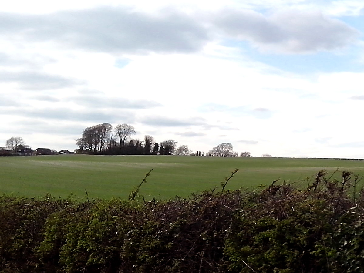
Kingston Maurward is a historic estate located in the county of Dorset, England. Situated near the town of Dorchester, it encompasses a vast area of picturesque countryside covering over 750 acres. The estate is named after the Maurward family, who have owned the land since the 13th century.

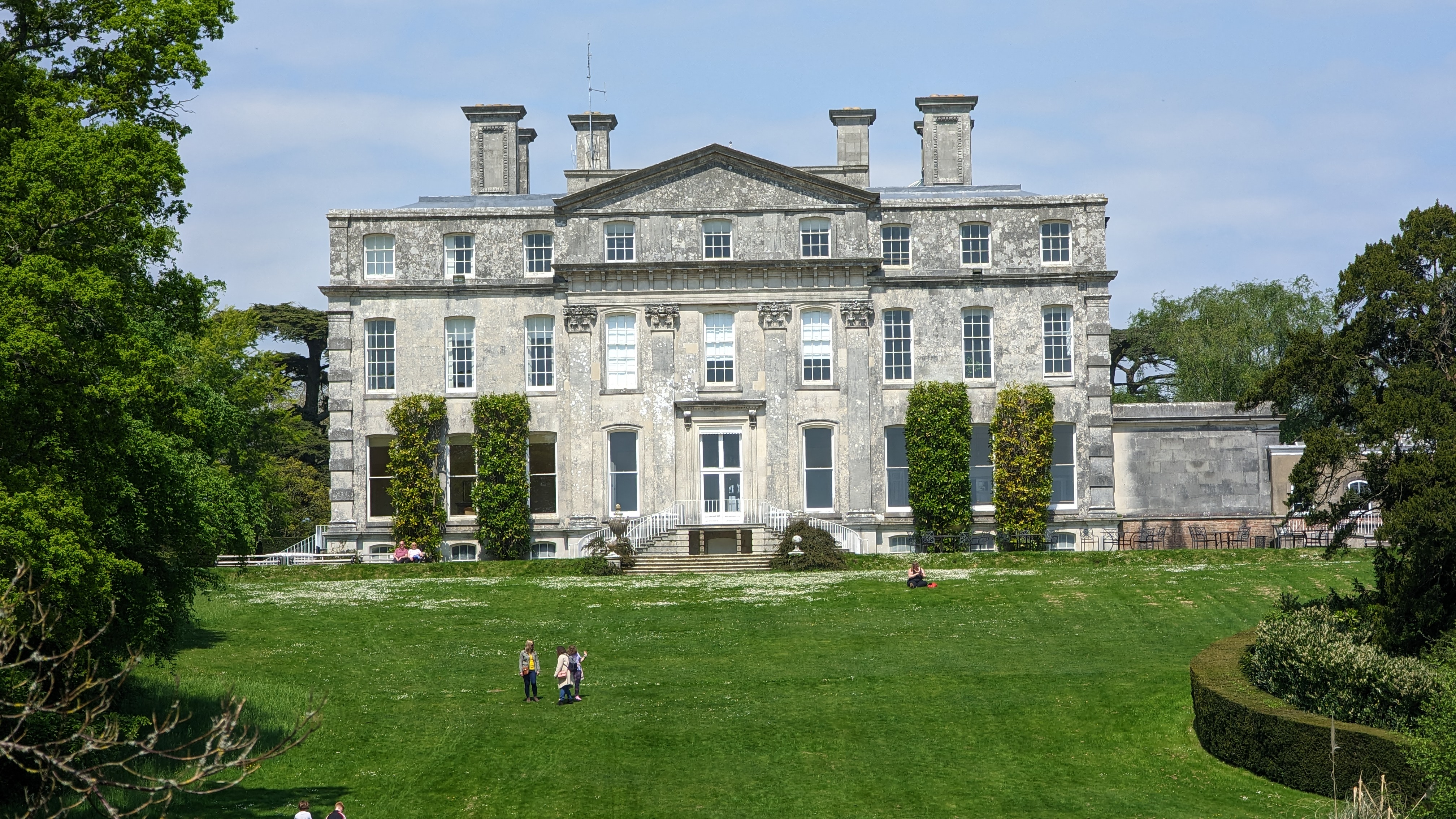
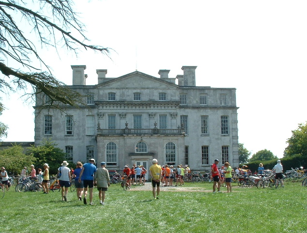
The centerpiece of Kingston Maurward is the grand Georgian mansion, built in the late 18th century. This architectural gem showcases elegant facades, ornate interiors, and stunning gardens. The estate's gardens are particularly renowned and have been beautifully landscaped, featuring manicured lawns, vibrant flowerbeds, and tranquil lakes. The gardens offer visitors a peaceful retreat, with various pathways and benches to enjoy the scenery.

The estate is also home to Kingston Maurward College, a leading agricultural and land-based college in the region. The college offers a range of courses in subjects such as agriculture, animal care, horticulture, and equine studies. It provides students with access to state-of-the-art facilities, including a working farm, animal management center, and plant nursery. The college also hosts a variety of events throughout the year, including agricultural shows and equestrian competitions.

Kingston Maurward is a popular destination for visitors seeking both natural beauty and historical charm. Its idyllic setting and rich heritage make it an ideal location for weddings, conferences, and other special events. Additionally, the estate offers various recreational activities, such as fishing, horse riding, and nature walks, ensuring there is something for everyone to enjoy.

If you have any feedback on the listing, please let us know in the comments section below.

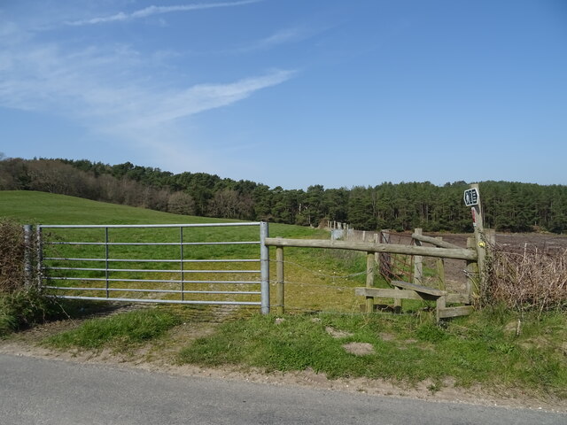
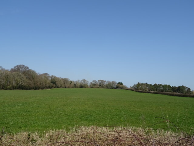
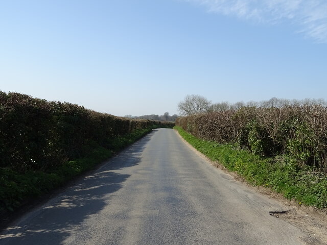
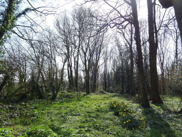
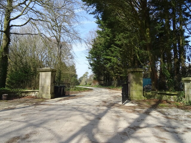
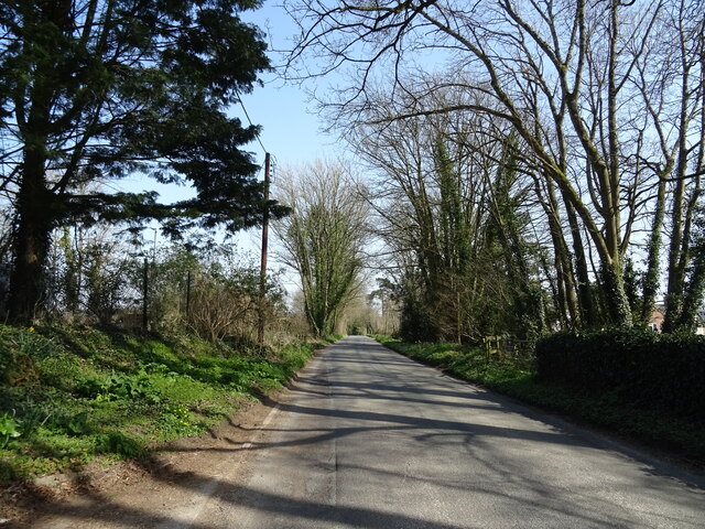
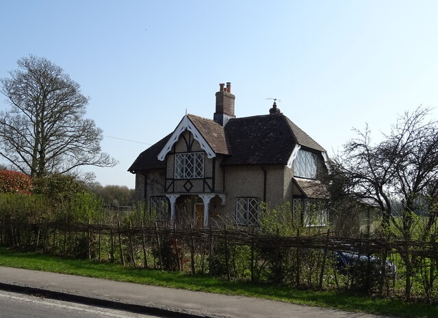
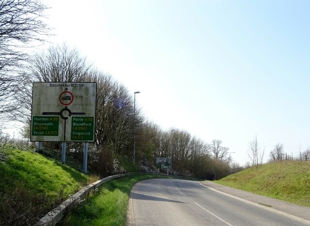
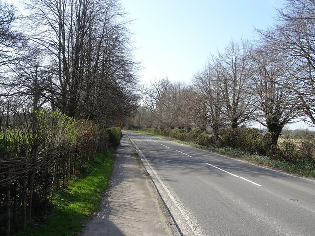
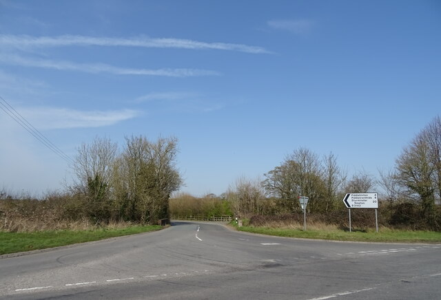
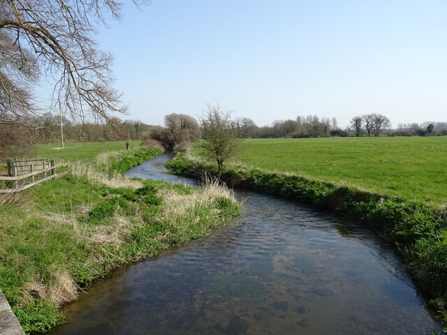
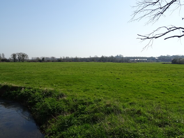
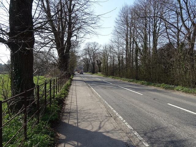
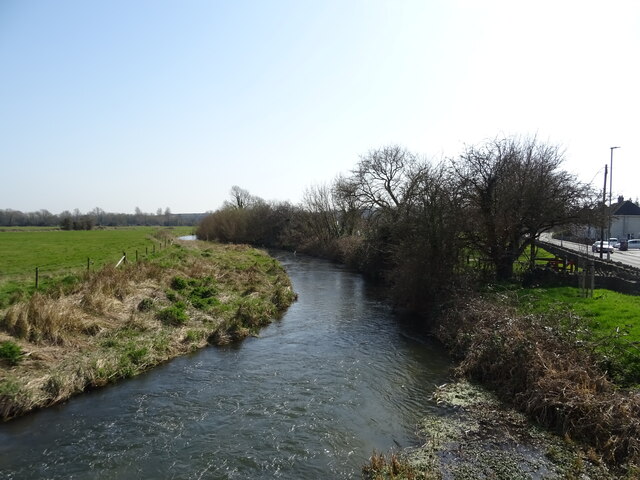
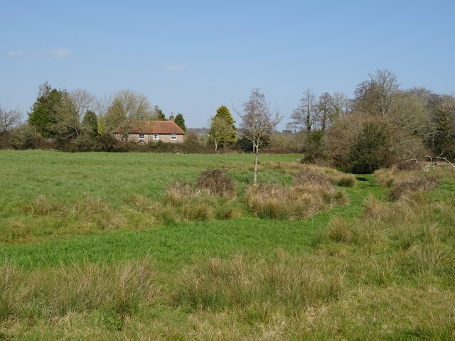
Kingston Maurward Images

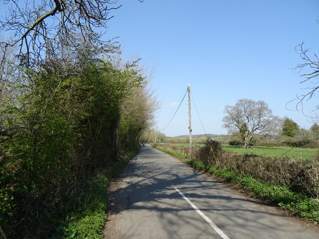
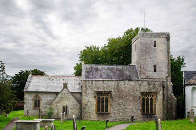
Images are sourced within 2km of 50.719029/-2.402288 or Grid Reference SY7191. Thanks to Geograph Open Source API. All images are credited.

Field and footpath, Norris Mill
Grassland and woodland near Pine Lodge Farm
Minor road towards Dorchester
Woodland, Hollow Hill
Gateway to Birkin House
Minor road towards Ilsington
Eagle Lodge
Eagle Lodge
Hollow Hill approaching A35 roundabout
B3150 towards Dorchester
B3143 towards Piddlehinton
Stream near Dorchester
Grazing near Dorchester
B3150 towards Dorchester
River Frome from Grey's Bridge
Storage area near sewage works
Grazing and drain near Keeper's Cottage
Minor road towards Lower Bockhampton
St Michael's Church, Stinsford, Dorset Generally, of 13th-century origins but with many modifications and refurbishments since.
St Michael's Church, Stinsford, Dorset
Generally, of 13th-century origins but with many modifications and refurbishments since.
Show me another place!

Kingston Maurward is located at Grid Ref: SY7191 (Lat: 50.719029, Lng: -2.402288)

Unitary Authority: Dorset

Police Authority: Dorset

What 3 Words

///ironic.hilltop.yacht. Near Dorchester, Dorset

Related Wikis

Kingston Maurward College

Kingston Maurward College is a college for land-based studies situated two miles east of Dorchester, Dorset, England. The college is a member of the Landex...

Kingston Maurward House

Kingston Maurward House is a large Grade I listed Georgian English country house set in a 750-acre (3 square km) estate in Dorset situated in the Frome...

Stinsford

Stinsford is a village and civil parish in southwest Dorset, England, about 1 mile (1.6 km) east of Dorchester. The parish includes the settlements of...

Mount Pleasant henge

Mount Pleasant henge is a Neolithic henge enclosure in the English county of Dorset. It lies southeast of Dorchester in the civil parish of West Stafford...

Nearby Amenities

Located within 500m of 50.719029,-2.402288
Description: Knapwater is a cul-de-sac / no through road. There is NO entrance to KIngston Maurward grounds, and turning is limited for long vehicles. Do not enter here for Kingston Maurward, head north then west instead.
Lat/Long: 50.7168324/-2.3968068
Lower Bockhampton
Place: hamlet
Lat/Long: 50.7165356/-2.3964886
Bench
Lat/Long: 50.7156559/-2.4019391
Material: wood
Power: pole
Source: bing
Lat/Long: 50.7149393/-2.4030696
Material: wood
Power: pole
Source: bing
Lat/Long: 50.7156241/-2.4023914
Material: wood
Power: pole
Source: bing
Lat/Long: 50.7158802/-2.4048451
Material: wood
Power: pole
Source: bing
Lat/Long: 50.7159898/-2.4057419
Material: wood
Power: pole
Source: bing
Lat/Long: 50.716118/-2.4013068
Material: wood
Power: pole
Source: bing
Lat/Long: 50.7161346/-2.4071649
Post Box
Post Box Type: lamp
Ref: DT2 93
Royal Cypher: EIIR
Royal Cypher Wikidata: Q33102113
Lat/Long: 50.717007/-2.3968
Material: wood
Power: pole
Source: bing
Lat/Long: 50.7182514/-2.396267
Direction: S
Generator Method: photovoltaic
Generator Output Electricity: yes
Generator Solar Modules: 14
Generator Source: solar
Generator Type: solar_photovoltaic_panel
Location: roof
Power: generator
Lat/Long: 50.7189218/-2.4068682
Direction: 185
Generator Method: photovoltaic
Generator Output Electricity: yes
Generator Solar Modules: 3
Generator Source: solar
Generator Type: solar_photovoltaic_panel
Location: roof
Note: probably hot water
Power: generator
Lat/Long: 50.7161618/-2.3971707
Access: yes
Drinking Water: yes
Man Made: water_well
Pump: manual
Lat/Long: 50.7173185/-2.3967239
Leisure: park
Lat/Long: 50.7166713/-2.3970891
Camera Direction: 347
Camera Mount: wall
Camera Type: fixed
Man Made: surveillance
Surveillance: outdoor
Surveillance Type: camera
Lat/Long: 50.7212891/-2.3965886
Camera Direction: 95
Camera Mount: wall
Camera Type: fixed
Man Made: surveillance
Surveillance: outdoor
Surveillance Type: camera
Lat/Long: 50.7213845/-2.3968246
The data included in this document is from www.openstreetmap.org. The data is made available under ODbL.

Have you been to Kingston Maurward?

Leave your review of Kingston Maurward below (or comments, questions and feedback).