Stinsford
Settlement in Dorset
England
Stinsford
Stinsford is a small village located in the picturesque county of Dorset, England. Situated just three miles southwest of the county town of Dorchester, it is nestled in the beautiful Frome Valley. With a population of around 400 residents, Stinsford exudes a tranquil and idyllic charm.
The village is known for its rich history, dating back to Saxon times. It was famously the birthplace and childhood home of the renowned novelist and poet Thomas Hardy. Many of his literary works were inspired by the landscape and people of Stinsford, and visitors can explore the areas that influenced his writing.
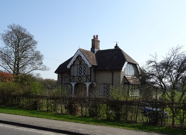
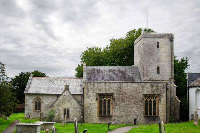
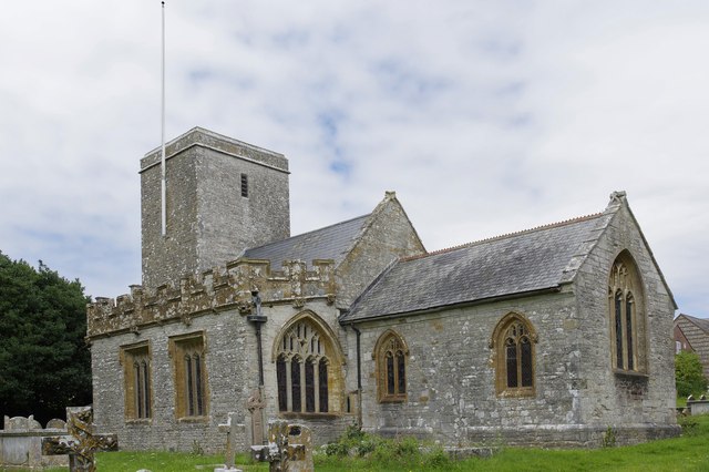
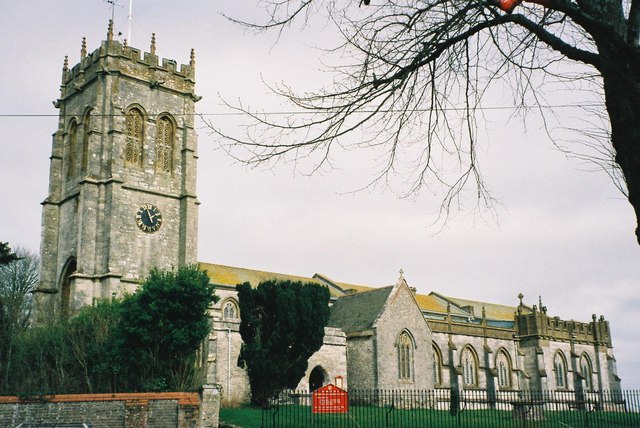
Stinsford features several architectural gems, including the 13th-century St. Michael's Church, which stands proudly in the heart of the village. The churchyard is the final resting place of Thomas Hardy, and his grave attracts literary enthusiasts from around the world.
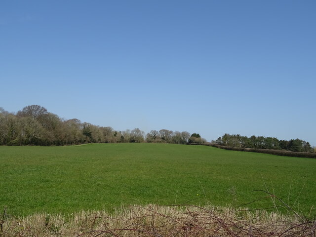
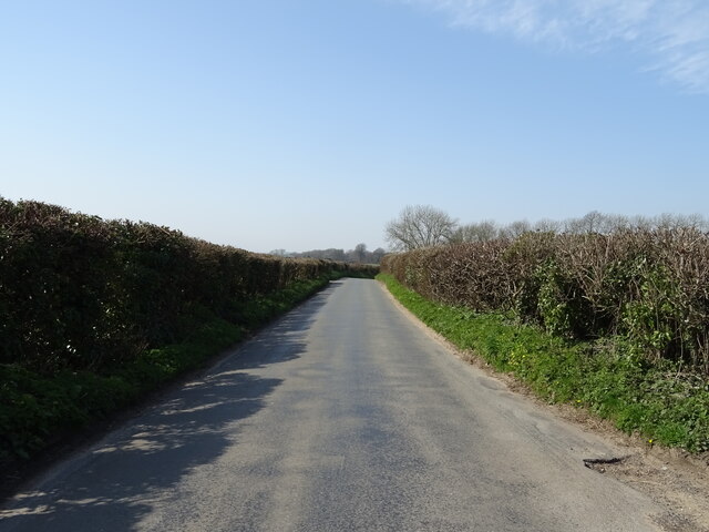
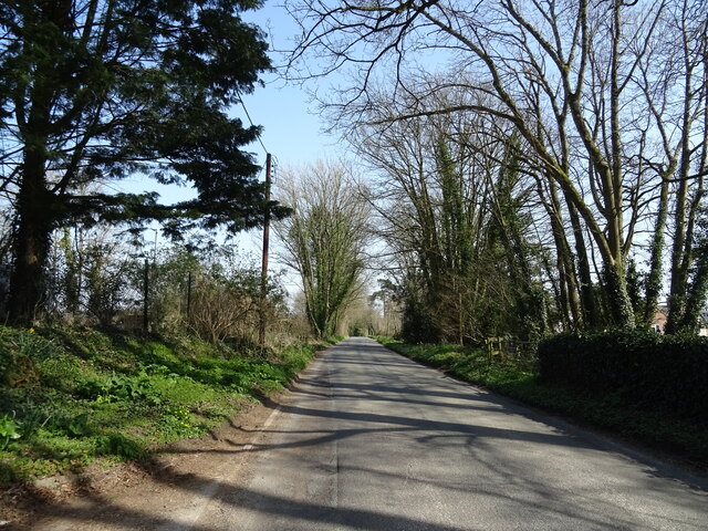
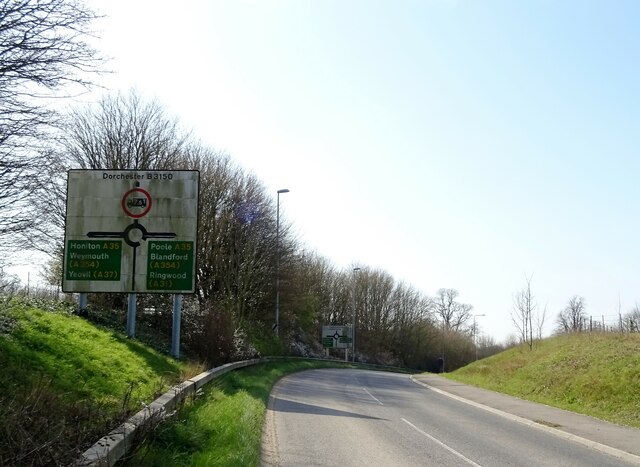
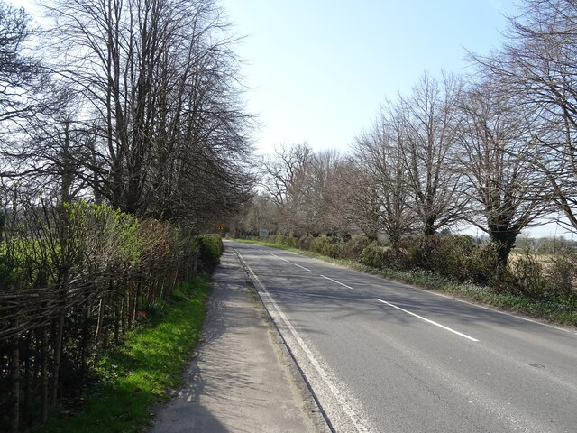
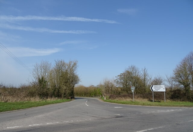
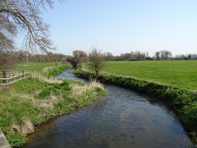
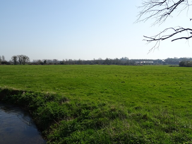
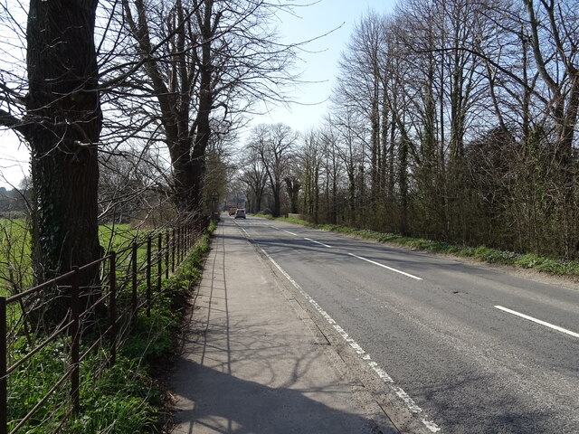
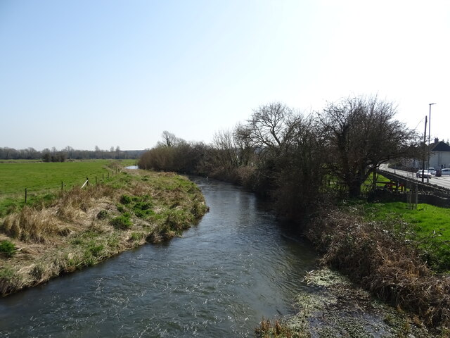
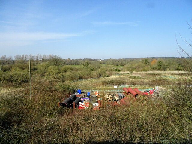
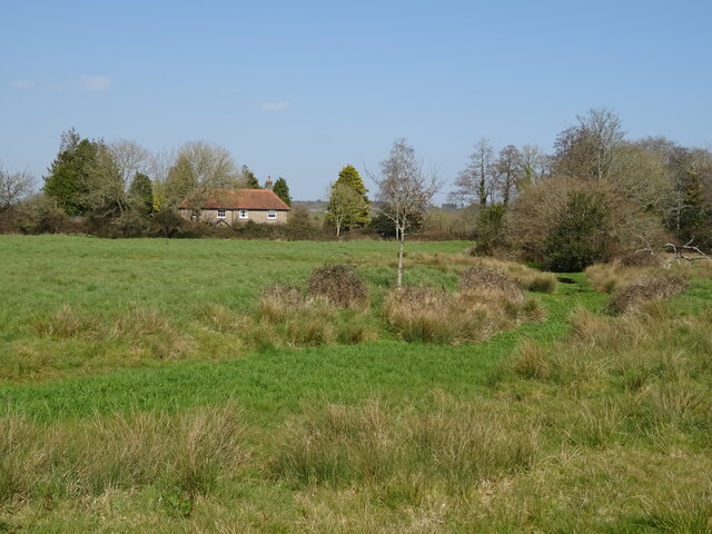
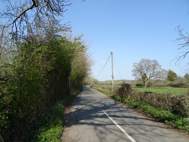
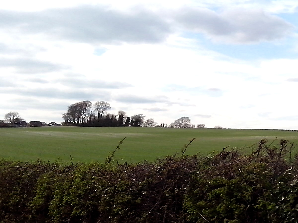
The village is surrounded by lush green fields, rolling hills, and the meandering River Frome. It offers a perfect base for exploring the charming countryside of Dorset, with numerous walking and cycling trails crisscrossing the area. Nearby attractions include the historic market town of Dorchester, the world-famous Jurassic Coast, and the stunning countryside of the Dorset Area of Outstanding Natural Beauty.
Stinsford retains a strong sense of community, with regular events and activities organized by local residents. The village pub, The Blue Vinny, is a popular gathering spot, offering delicious food and a warm welcome to visitors.
With its rich heritage, picturesque landscapes, and friendly atmosphere, Stinsford is a hidden gem in the heart of Dorset, offering a delightful retreat for those seeking a peaceful and historically significant destination.
If you have any feedback on the listing, please let us know in the comments section below.
Stinsford Images
Images are sourced within 2km of 50.721012/-2.4112863 or Grid Reference SY7191. Thanks to Geograph Open Source API. All images are credited.
Stinsford is located at Grid Ref: SY7191 (Lat: 50.721012, Lng: -2.4112863)
Unitary Authority: Dorset
Police Authority: Dorset
What 3 Words
///income.eats.florists. Near Dorchester, Dorset
Nearby Locations
Related Wikis

Stinsford
Stinsford is a village and civil parish in southwest Dorset, England, about 1 mile (1.6 km) east of Dorchester. The parish includes the settlements of...
Kingston Maurward College
Kingston Maurward College is a college for land-based studies situated two miles east of Dorchester, Dorset, England. The college is a member of the Landex...
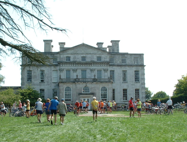
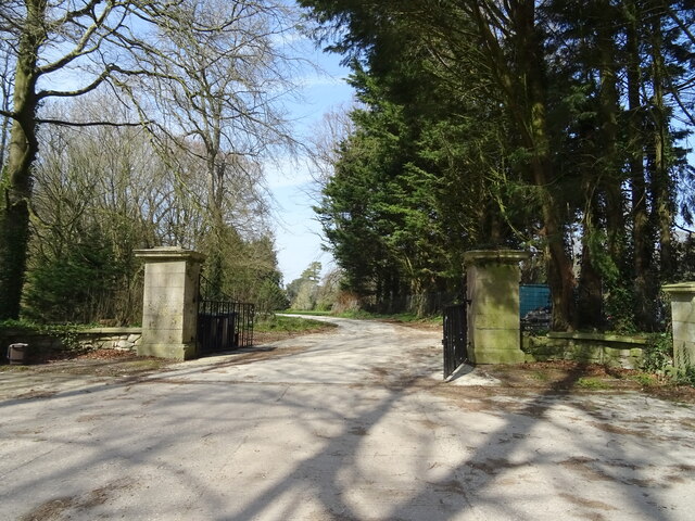
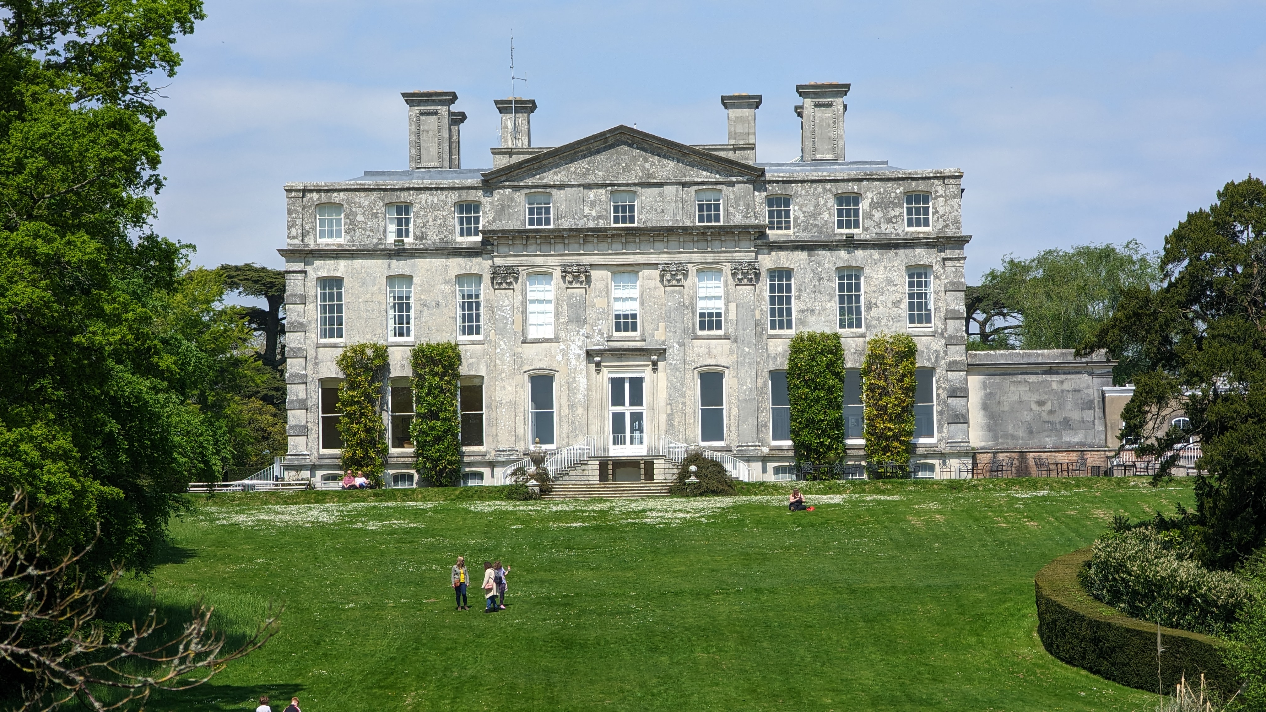
Kingston Maurward House
Kingston Maurward House is a large Grade I listed Georgian English country house set in a 750-acre (3 square km) estate in Dorset situated in the Frome...
Mount Pleasant henge
Mount Pleasant henge is a Neolithic henge enclosure in the English county of Dorset. It lies southeast of Dorchester in the civil parish of West Stafford...

Fordington (liberty)
Fordington Liberty was a liberty in the county of Dorset, England, containing the following parishes: Fordington Hermitage Minterne Magna (part) Stockland...
St George's Church, Fordington
St George's Church is a Church of England church in Dorchester, Dorset, England and the parish church of the suburb of Fordington. St George's has been...
Fordington, Dorset
Fordington is a part of the town of Dorchester, Dorset; originally a separate village, it has now become a suburb. Taking its name from a ford across the...
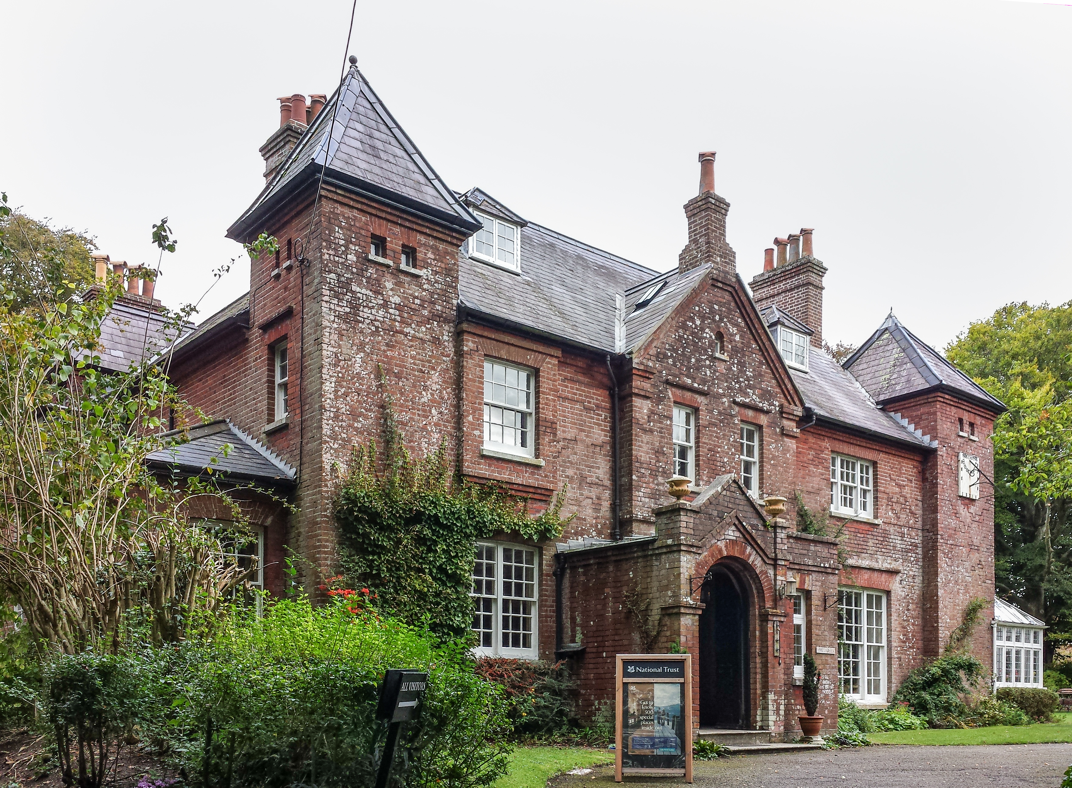
Max Gate
Max Gate is the former home of Thomas Hardy and is located on the outskirts of Dorchester, Dorset, England. It was designed and built by Thomas Hardy for...
Nearby Amenities
Located within 500m of 50.721012,-2.4112863Have you been to Stinsford?
Leave your review of Stinsford below (or comments, questions and feedback).