Kingsnympton Park

Settlement in Surrey

England

Kingsnympton Park

B351, A308 junction The B351 consists of two roads either side of Richmond Park. It runs 4.5 miles from Norbiton <a href="https://www.geograph.org.uk/photo/7213742">TQ1969 : B351, A308 junction</a> to Mortlake.
B351, A308 junction Credit: N Chadwick

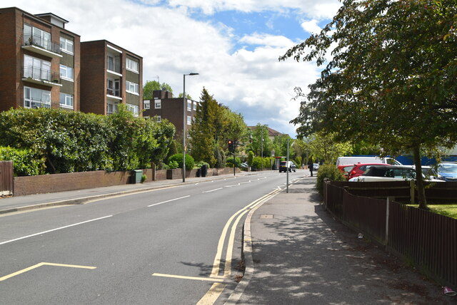
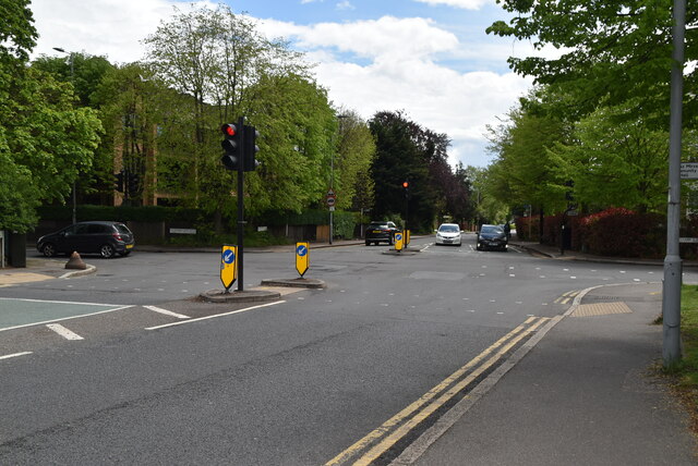
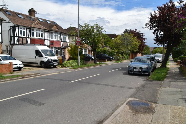
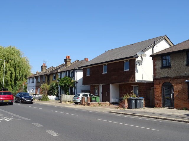
Kingsnympton Park is a picturesque village located in the county of Surrey, England. Situated just a few miles southwest of the bustling city of London, it offers residents the perfect blend of countryside charm and urban convenience. The village is known for its peaceful and idyllic setting, surrounded by lush greenery and rolling hills.

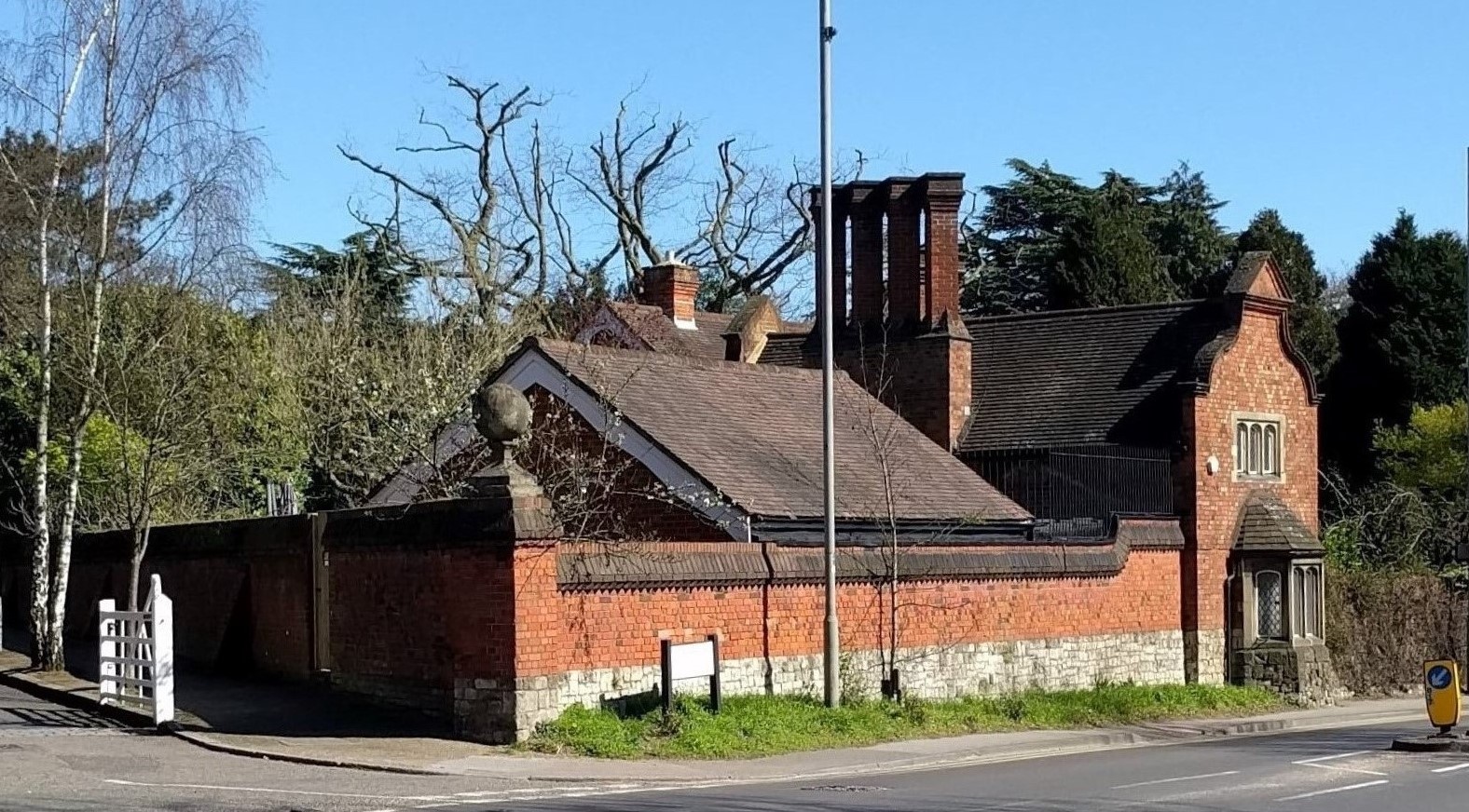
One of the notable features of Kingsnympton Park is its stunning architecture. The village is home to a variety of beautiful period properties, including charming cottages and elegant manor houses. These architectural gems add to the overall appeal of the village and give it a timeless and traditional feel.

Nature enthusiasts will find plenty to explore in Kingsnympton Park. The village is surrounded by several parks and green spaces, providing opportunities for leisurely walks, picnics, and outdoor activities. The nearby Richmond Park, one of the largest royal parks in London, is a haven for wildlife and offers stunning views of the city skyline.

Kingsnympton Park also benefits from its proximity to several amenities. The village has a range of shops, cafes, and restaurants, providing residents with all the necessary amenities within easy reach. The excellent transport links make it convenient for commuting to London or other nearby towns, with regular train services and bus routes connecting the village to the surrounding areas.

Overall, Kingsnympton Park offers a peaceful and picturesque living environment, with its charming architecture, natural beauty, and convenient location. It is a place that combines the best of both worlds, providing residents with a tranquil village lifestyle while being within easy reach of the vibrant city of London.

If you have any feedback on the listing, please let us know in the comments section below.

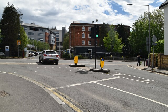
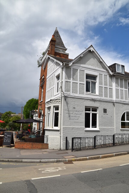
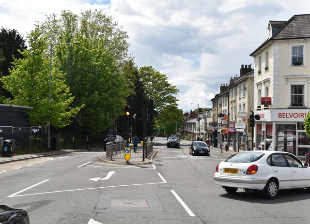
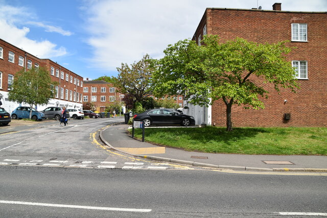
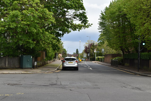
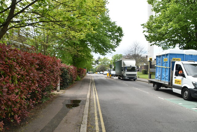
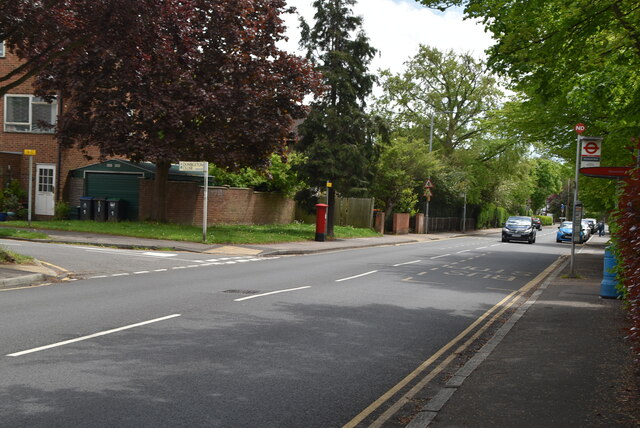
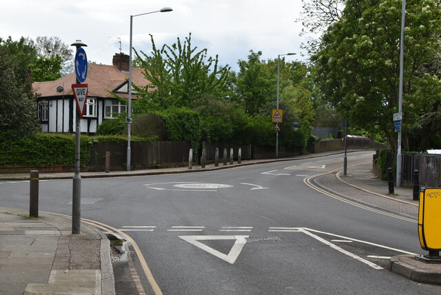
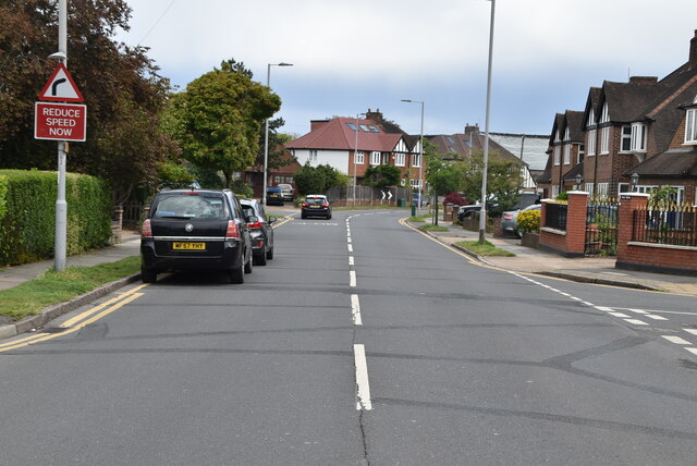
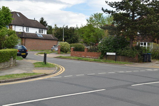
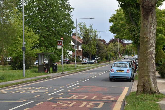
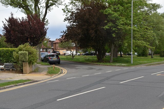
Kingsnympton Park Images

Images are sourced within 2km of 51.422155/-0.27839 or Grid Reference TQ1970. Thanks to Geograph Open Source API. All images are credited.

B351, A308 junction The B351 consists of two roads either side of Richmond Park. It runs 4.5 miles from Norbiton <a href="https://www.geograph.org.uk/photo/7213742">TQ1969 : B351, A308 junction</a> to Mortlake.
B351, A308 junction
The B351 consists of two roads either side of Richmond Park. It runs 4.5 miles from Norbiton TQ1969 : B351, A308 junction to Mortlake.
The Albert
The Albert
A308, Kingston Hill The A308 is a road in West London. It is in 2 parts, Brompton to Fulham and Richmond Park to Maidenhead.
Wikipedia: <span class="nowrap"><a title="http://en.wikipedia.org/wiki/A308_road" rel="nofollow ugc noopener" href="http://en.wikipedia.org/wiki/A308_road">Link</a><img style="margin-left:2px;" alt="External link" title="External link - shift click to open in new window" src="https://s1.geograph.org.uk/img/external.png" width="10" height="10"/></span>
A308, Kingston Hill
The A308 is a road in West London. It is in 2 parts, Brompton to Fulham and Richmond Park to Maidenhead. Wikipedia: LinkExternal link
Blenheim Garden
Blenheim Garden
Galsworthy Rd
Galsworthy Rd
Kingston Hospital
Kingston Hospital
Kingston Hospital
Kingston Hospital
Galsworthy Rd, A238 junction The A238 runs 5 miles from Collier's Wood to Norbiton, South West London.
<span class="nowrap"><a title="http://www.sabre-roads.org.uk/wiki/index.php?title=A238" rel="nofollow ugc noopener" href="http://www.sabre-roads.org.uk/wiki/index.php?title=A238">Link</a><img style="margin-left:2px;" alt="External link" title="External link - shift click to open in new window" src="https://s1.geograph.org.uk/img/external.png" width="10" height="10"/></span>
Galsworthy Rd, A238 junction
The A238 runs 5 miles from Collier's Wood to Norbiton, South West London. LinkExternal link
A238 The A238 runs 5 miles from Collier's Wood to Norbiton, South West London.
<span class="nowrap"><a title="http://www.sabre-roads.org.uk/wiki/index.php?title=A238" rel="nofollow ugc noopener" href="http://www.sabre-roads.org.uk/wiki/index.php?title=A238">Link</a><img style="margin-left:2px;" alt="External link" title="External link - shift click to open in new window" src="https://s1.geograph.org.uk/img/external.png" width="10" height="10"/></span>
A238
The A238 runs 5 miles from Collier's Wood to Norbiton, South West London. LinkExternal link
Dumbleton Close
Dumbleton Close
Gloucester Rd, Kenley Rd junction
Kenley Rd
Kenley Rd
Revell Rd
Revell Rd
Kenley Rd
Kenley Rd
Kenley Rd
Kenley Rd
Kenley Rd
Kenley Rd
Houses on Kingston Road
Show me another place!

Kingsnympton Park is located at Grid Ref: TQ1970 (Lat: 51.422155, Lng: -0.27839)

Unitary Authority: Kingston upon Thames

Police Authority: Metropolitan

What 3 Words

///mats.fruit.trunk. Near Kingston upon Thames, London

Related Wikis

Canbury School

Canbury School is a small, independent day school in Kingston upon Thames, Greater London with a maximum of 75 pupils on roll. == History == Canbury School...

Holy Cross Preparatory School

Holy Cross Preparatory School is an independent preparatory school for girls aged 4–11 in Coombe, London, England. == History == Holy Cross Preparatory...

Rokeby Preparatory School

Rokeby School is an independent all-boys preparatory day school in Kingston upon Thames, London. Its headmaster is Jason Peck. The school offers an education...

Thatched House Lodge

Thatched House Lodge is a Grade II-listed building, dating from the 17th century, in Richmond Park in the London Borough of Richmond upon Thames in London...

Marymount International School London

Marymount International School is a private day and boarding school for girls in Kingston upon Thames, London, England. Founded by the Religious of the...
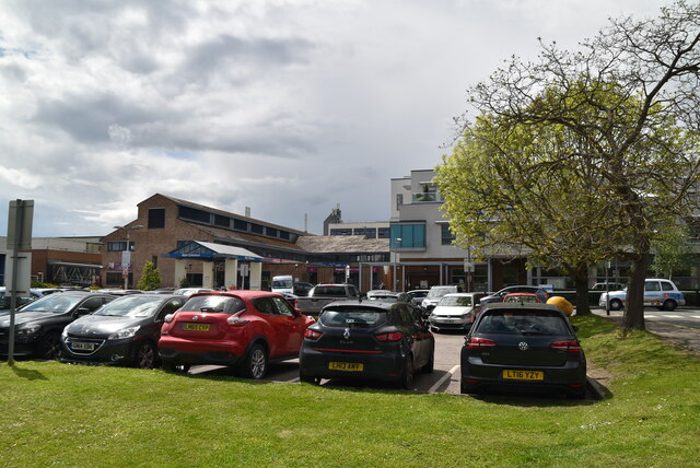
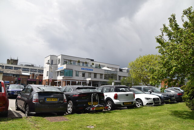
Kingston Hospital

Kingston Hospital is an acute hospital in Kingston upon Thames, England. It is managed by the Kingston Hospital NHS Foundation Trust. It has an Accident...

St Agatha's Roman Catholic Church, Kingston upon Thames

St Agatha's is a Roman Catholic church on Wyndham Road in Kingston upon Thames, London. It is dedicated to Saint Agatha of Sicily. The Italianate church...

Coombe, Kingston upon Thames

Coombe is a historic neighbourhood in the Royal Borough of Kingston upon Thames in south west London, England. It sits on high ground, east of Norbiton...

Nearby Amenities

Located within 500m of 51.422155,-0.27839
Crossing
Crossing: unmarked
Crossing Island: no
Crossing Markings: no
Lat/Long: 51.4235683/-0.2756355
Crossing: uncontrolled
Crossing Island: no
Crossing Ref: zebra
Source: crossing
Lat/Long: 51.4217846/-0.2770591
Traffic Calming: bump
Lat/Long: 51.4197711/-0.282458
Traffic Calming: bump
Lat/Long: 51.4242486/-0.273527
Post Box
Collection Times: Mo-Fr 09:00; Sa 07:00
Operator: Royal Mail
Operator Wikidata: Q638098
Post Box Type: pillar
Ref: KT2 5D
Royal Cypher: GVIR
Royal Cypher Wikidata: Q33102169
Lat/Long: 51.4202474/-0.2787176
Post Box
Post Box Type: pillar
Ref: KT2 123
Royal Cypher: EVIIR
Royal Cypher Wikidata: Q33102324
Lat/Long: 51.4247748/-0.2746156
Traffic Calming: bump
Lat/Long: 51.4190988/-0.2779773
Crossing
Crossing: uncontrolled
Crossing Island: no
Crossing Ref: zebra
Lat/Long: 51.4251971/-0.2744346
Telephone
Booth: KXPlus
Covered: booth
Lat/Long: 51.4220002/-0.2770147
Bus Stop
George Road
Naptan AtcoCode: 490008825N
Naptan Bearing: N
Naptan CommonName: Kingston Lodge
Naptan Street: KINGSTON HILL
Naptan Verified: no
Public Transport: platform
Lat/Long: 51.4181656/-0.2805668
Bus Stop
George Road
Bus: yes
Naptan AtcoCode: 490008825S
Naptan Bearing: N
Naptan CommonName: Kingston Lodge
Naptan Street: KINGSTON HILL
Naptan Verified: no
Public Transport: platform
Ref: 48150
Source Ref: naptan
Lat/Long: 51.4186718/-0.2794345
Bus Stop
Ravenswood Court
Bus: yes
Naptan AtcoCode: 490011445N
Naptan Bearing: N
Naptan CommonName: Ravenswood Court
Naptan Street: KINGSTON HILL
Naptan Verified: no
Public Transport: platform
Ref: 59403
Source Ref: naptan
Lat/Long: 51.4221895/-0.2768308
Bus Stop
Ravenswood Court
Naptan AtcoCode: 490011445S
Naptan Bearing: N
Naptan CommonName: Ravenswood Court
Naptan Street: KINGSTON HILL
Naptan Verified: no
Public Transport: platform
Lat/Long: 51.4214398/-0.2772331
Bus Stop
Warren Road
Bus: yes
Local Ref: A
Naptan AtcoCode: 490014239N
Naptan Bearing: N
Naptan CommonName: Warren Road Kingston Hill
Naptan Indicator: Stop A
Naptan Verified: no
Public Transport: platform
Lat/Long: 51.4254679/-0.2743542
Bus Stop
Warren Road
Bench: yes
Bin: yes
Bus: yes
Departures Board: yes
Lit: yes
Local Ref: T
Naptan AtcoCode: 490014239S
Naptan Bearing: S
Naptan CommonName: Warren Road Kingston Hill
Naptan Indicator: Stop T
Naptan Verified: no
Public Transport: platform
Shelter: yes
Lat/Long: 51.4245617/-0.2748013
Bicycle Parking
Access: yes
Capacity: 2
Covered: no
Fee: no
Indoor: no
Note: overgrown
Lat/Long: 51.4259032/-0.2757727
Telephone
Booth: KXPlus
Covered: booth
Lat/Long: 51.4202507/-0.2787421
Atm
Lat/Long: 51.4203785/-0.2789671
Waste Basket
Lat/Long: 51.4203506/-0.2789019
Addr Housenumber: 1
Addr Street: Astor Close
Lat/Long: 51.4230157/-0.2765023
Addr Housenumber: 16
Addr Street: Astor Close
Lat/Long: 51.4233762/-0.2776643
Addr Housenumber: 17
Addr Street: Astor Close
Lat/Long: 51.4233463/-0.2781466
Addr Housenumber: 23
Addr Street: Astor Close
Lat/Long: 51.4236126/-0.2778502
Addr Housenumber: 12
Addr Street: Ladderstile Ride
Lat/Long: 51.4256722/-0.2750323
Addr Housenumber: 2
Addr Street: Ladderstile Ride
Lat/Long: 51.4254577/-0.2746086
Ref GB Tflcid: RWG132229
Traffic Calming: hump
Lat/Long: 51.4249135/-0.2741608
Access: no
Barrier: cycle_barrier
Foot: yes
Lat/Long: 51.4220108/-0.2769922
Bench
Backrest: yes
Lat/Long: 51.4226376/-0.284084
Drinking Water
Access: yes
Covered: no
Fee: no
Indoor: no
Note: On trough
Lat/Long: 51.4258966/-0.2757392
Entrance: main
Lat/Long: 51.423912/-0.2757171
Entrance: main
Lat/Long: 51.4238065/-0.2757342
Sir Malcolm Campbell and Donald Campbell
Historic: memorial
Inscription: Sir Malcolm Campbell (1885–1948), and Donald Campbell (1921–1967) Speed Record Holders on Land and Water lived here
Memorial: blue_plaque
Openplaques Id: 4872
Lat/Long: 51.4238637/-0.275752
Barrier: bollard
Lat/Long: 51.4200174/-0.2784442
Crossing
Crossing: uncontrolled
Crossing Island: no
Crossing Ref: zebra
Lat/Long: 51.4185251/-0.2797764
Barrier: bollard
Lat/Long: 51.4215855/-0.2771364
Barrier: bollard
Lat/Long: 51.4255092/-0.2742933
Crossing
Crossing: unmarked
Crossing Markings: no
Lat/Long: 51.4251145/-0.2744128
Give Way
Direction: forward
Lat/Long: 51.4252694/-0.2744547
Tactile Paving: yes
Lat/Long: 51.4251839/-0.2743885
Bicycle Parking
Bicycle Parking: stands
Lat/Long: 51.4237687/-0.2722423
Traffic Calming: bump
Lat/Long: 51.4202139/-0.2815458
Traffic Calming: bump
Lat/Long: 51.4200629/-0.2816233
Traffic Calming: bump
Lat/Long: 51.4202941/-0.2795797
Traffic Calming: bump
Lat/Long: 51.4193439/-0.2832679
Traffic Calming: bump
Lat/Long: 51.4187852/-0.2749272
Barrier: bollard
Lat/Long: 51.4253533/-0.27439
Crossing
Lat/Long: 51.420388/-0.2781482
Barrier: bollard
Lat/Long: 51.4188317/-0.2792244
Barrier: bollard
Lat/Long: 51.4246601/-0.2747555
Barrier: bollard
Lat/Long: 51.4245424/-0.2748344
Barrier: bollard
Lat/Long: 51.4189626/-0.2790797
Barrier: bollard
Lat/Long: 51.4180699/-0.2806722
Barrier: bollard
Lat/Long: 51.4203384/-0.2781055
Barrier: bollard
Lat/Long: 51.4186497/-0.2795077
Barrier: bollard
Lat/Long: 51.4192726/-0.2787815
Barrier: bollard
Lat/Long: 51.4181818/-0.2804772
Waste Basket
Lat/Long: 51.4222359/-0.2767844
Barrier: bollard
Lat/Long: 51.4222336/-0.2767651
Barrier: bollard
Lat/Long: 51.4220398/-0.2769226
Post Box
Collection Times: Mo-Fr 09:00; Sa 07:00
Operator: Royal Mail
Operator Wikidata: Q638098
Post Box Type: pillar
Ref: KT2 190D
Royal Cypher: VR
Royal Cypher Wikidata: Q33102356
Lat/Long: 51.4186896/-0.2745287
Post Box
Collection Times: Mo-Fr 09:00; Sa 07:00
Operator: Royal Mail
Operator Wikidata: Q638098
Post Box Type: pillar
Ref: KT2 76D
Royal Cypher: VR
Royal Cypher Wikidata: Q33102356
Lat/Long: 51.4202837/-0.2841876
Tactile Paving: yes
Lat/Long: 51.4185549/-0.2798215
Give Way
Direction: forward
Lat/Long: 51.4191998/-0.2788524
Tactile Paving: yes
Lat/Long: 51.4201219/-0.2784425
Tactile Paving: yes
Lat/Long: 51.4201787/-0.2784126
Crossing
Crossing: unmarked
Crossing Island: no
Crossing Markings: no
Traffic Calming: table
Lat/Long: 51.4201522/-0.2784266
Tactile Paving: yes
Lat/Long: 51.4235451/-0.27556
Give Way
Direction: backward
Lat/Long: 51.4231754/-0.2758248
Bicycle: yes
Colour Arrow: white
Colour Back: blue;#93d50a
Colour Text: white
Cycle Network: GB:London Cycleways
Description: Cycleway 30 route sign, indicating straight on for Kingston University (Kingston Hill Campus) 4 mins
Destination: Kingston University (Kingston Hill Campus)
Direction: 200
Guide Type: destination
Information: guidepost
Operator: Kingston Council
Tourism: information
Lat/Long: 51.4229187/-0.2762205
Tactile Paving: yes
Lat/Long: 51.4218051/-0.2771213
Give Way
Direction: backward
Lat/Long: 51.423727/-0.2755998
Crossing
Lat/Long: 51.4240019/-0.2754115
Tactile Paving: yes
Lat/Long: 51.4252496/-0.2745085
Tactile Paving: yes
Lat/Long: 51.4253132/-0.2744606
Crossing
Crossing: unmarked
Crossing Island: no
Crossing Markings: no
Lat/Long: 51.425282/-0.274484
Tactile Paving: yes
Lat/Long: 51.425212/-0.2744868
Tactile Paving: yes
Lat/Long: 51.4235889/-0.2757023
Tactile Paving: yes
Lat/Long: 51.4217658/-0.2769988
Barrier: bollard
Lat/Long: 51.4195651/-0.2785673
Tactile Paving: yes
Lat/Long: 51.4185021/-0.2797415
Bicycle Parking
Bicycle Parking: stands
Capacity: 4
Ref GB Tflcid: RWG124927
Lat/Long: 51.4203171/-0.2786708
Bicycle Parking
Bicycle Parking: stands
Capacity: 4
Ref GB Tflcid: RWG124928
Lat/Long: 51.4203523/-0.2788692
Bicycle Parking
Bicycle Parking: stands
Capacity: 2
Ref GB Tflcid: RWG124926
Lat/Long: 51.4202694/-0.2785328
Ref GB Tflcid: RWG133083
Traffic Calming: hump
Lat/Long: 51.4201637/-0.2848076
Ref GB Tflcid: RWG132599
Traffic Calming: hump
Lat/Long: 51.4202291/-0.2807508
Ref GB Tflcid: RWG132235
Traffic Calming: hump
Lat/Long: 51.4230396/-0.2721835
Ref GB Tflcid: RWG132592
Traffic Calming: hump
Lat/Long: 51.4202303/-0.2788437
Bus Stop
Ladderstile Gate
Bench: no
Public Transport: platform
Lat/Long: 51.4260994/-0.2761837
Golf: tee
Surface: grass
Lat/Long: 51.4207076/-0.2721492
Waste Basket
Colour: Black
Material: plastic
Lat/Long: 51.4186527/-0.2794627
Crossing
Lat/Long: 51.4242664/-0.2752145
The data included in this document is from www.openstreetmap.org. The data is made available under ODbL.

Have you been to Kingsnympton Park?

Leave your review of Kingsnympton Park below (or comments, questions and feedback).