Kingstanding
Settlement in Staffordshire
England
Kingstanding
Kingstanding is a small village located in the county of Staffordshire, England. Situated approximately 4 miles north of the town of Stafford, it falls within the Stafford Borough Council area. The village sits on the western bank of the River Sow, which runs through the region.
Kingstanding is a primarily residential area, offering a tranquil and peaceful environment for its residents. The village boasts a charming mix of traditional cottages and modern houses, creating a picturesque setting. The population of Kingstanding is relatively small, with a close-knit community that fosters a friendly and welcoming atmosphere.
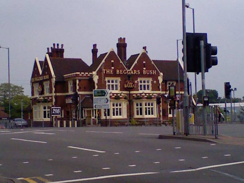
Despite its small size, Kingstanding offers several amenities to its residents. The village is home to a local pub, providing a gathering place for socializing and relaxation. Additionally, there is a small convenience store that caters to the everyday needs of the community.
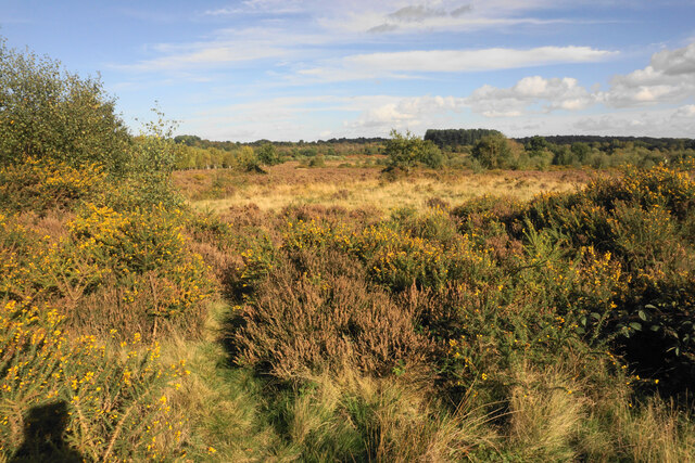
For those seeking outdoor activities, Kingstanding offers easy access to the natural beauty of the surrounding countryside. The nearby Cannock Chase, designated an Area of Outstanding Natural Beauty, provides opportunities for hiking, cycling, and wildlife spotting. The village also benefits from its proximity to the town of Stafford, which offers a wider range of amenities, including shops, restaurants, and leisure facilities.
Overall, Kingstanding, Staffordshire offers a peaceful and idyllic setting for residents seeking a close-knit community, with the added convenience of nearby amenities and access to the stunning Staffordshire countryside.
If you have any feedback on the listing, please let us know in the comments section below.
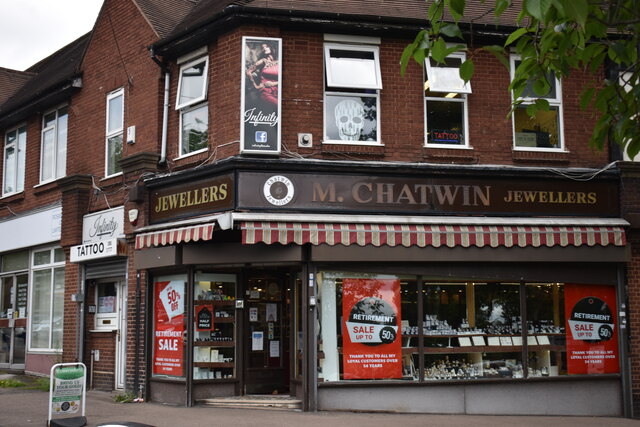
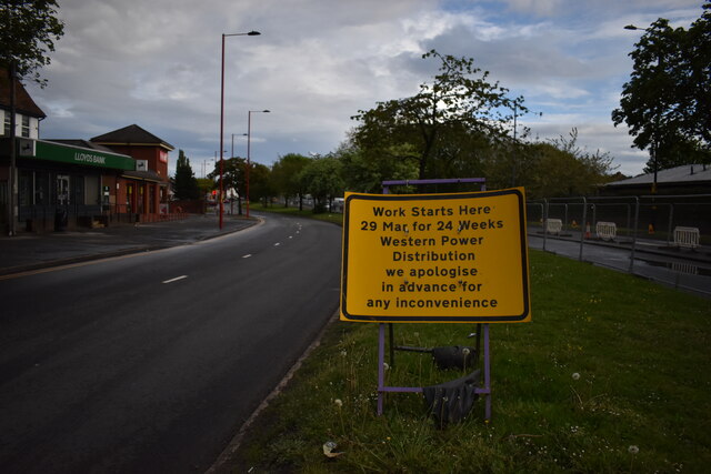
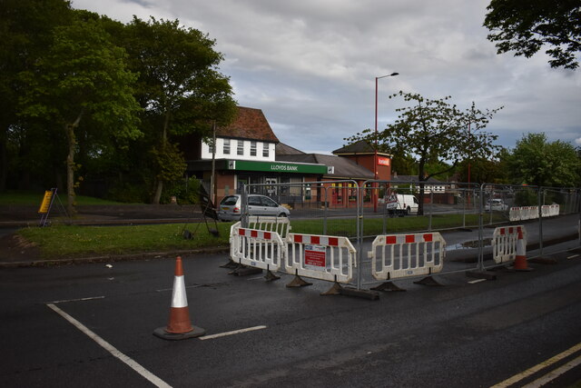
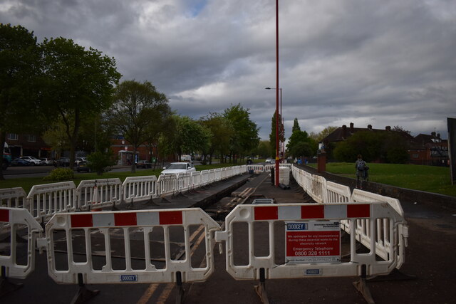
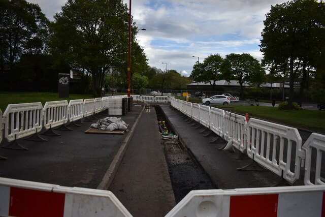
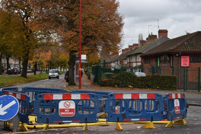
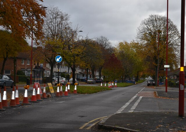
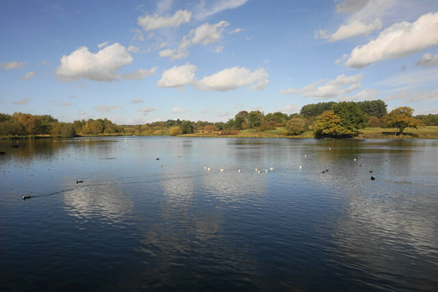
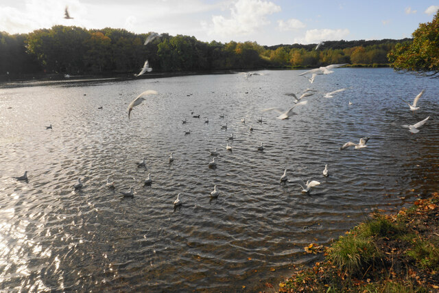
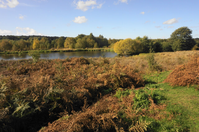
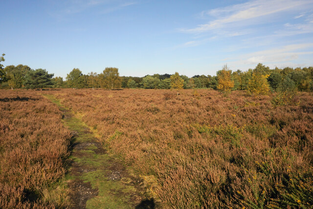
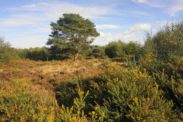
Kingstanding Images
Images are sourced within 2km of 52.545919/-1.876835 or Grid Reference SP0894. Thanks to Geograph Open Source API. All images are credited.


Kingstanding is located at Grid Ref: SP0894 (Lat: 52.545919, Lng: -1.876835)
Unitary Authority: Birmingham
Police Authority: West Midlands
What 3 Words
///unfair.hunter.runs. Near Streetly, West Midlands
Nearby Locations
Related Wikis
Kingstanding
Kingstanding is an area in north Birmingham, England. It gives its name to a ward in the Erdington council constituency. Kingstanding ward includes the...

Witton Isolation Hospital
Witton Isolation Hospital was a facility for the treatment and quarantine of smallpox victims and their contacts in Birmingham, England, from 1894 to 1966...

Cardinal Wiseman Catholic School, Birmingham
Cardinal Wiseman Catholic School is a non-selective comprehensive state secondary school in Kingstanding; an inner-city suburb of Birmingham, England....

Odeon, Kingstanding
The Odeon at Kingstanding, Birmingham, was a 1930s cinema in the Odeon chain. Though closed as a cinema in 1962, the building survives as a bingo hall...

Maryvale Institute
Maryvale Institute is a college of further and higher education, an International Catholic Distance-Learning College for Catechesis, Theology, Philosophy...
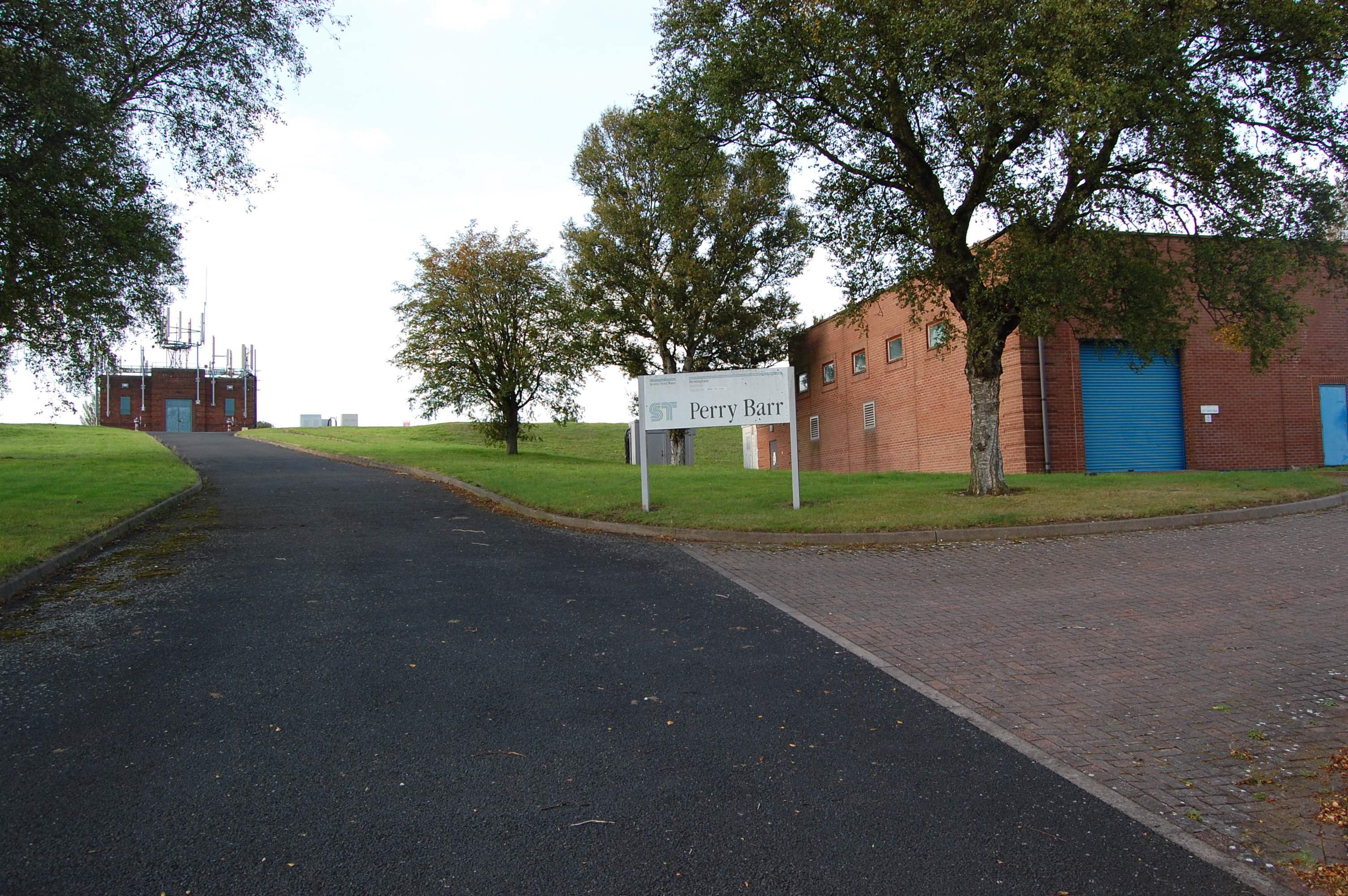
Perry Barr Reservoir
Perry Barr Reservoir is a covered drinking water reservoir, in north Birmingham, England, operated by Severn Trent Water. Built for the then Birmingham...
Old Oscott
Old Oscott (originally Oscott) is an area of Great Barr, Birmingham, England (previously in the parish of Handsworth, Staffordshire). The suburb forms...
New Oscott
New Oscott is an area of Birmingham, England. It was named after the Oscott area of Birmingham, when St. Mary's College, the Roman Catholic seminary, moved...
Nearby Amenities
Located within 500m of 52.545919,-1.876835Have you been to Kingstanding?
Leave your review of Kingstanding below (or comments, questions and feedback).