Dark Hill

Hill, Mountain in Surrey

England

Dark Hill

Thames Path, Kingston upon Thames
Thames Path, Kingston upon Thames Credit: Ian S

Dark Hill is a prominent hill located in the county of Surrey, England. Situated near the village of Chiddingfold, it is part of the Surrey Hills Area of Outstanding Natural Beauty. Dark Hill stands at an elevation of approximately 225 meters (738 feet), making it one of the highest points in the region.

The hill is characterized by its dense woodland cover, primarily consisting of oak and beech trees, which lend it a mysterious and enchanting atmosphere. The name "Dark Hill" derives from the impression created by the thick tree canopy that often casts deep shadows, particularly during the early morning or late afternoon hours.

Dark Hill offers breathtaking panoramic views of the surrounding countryside, including the picturesque villages of Chiddingfold and Haslemere, as well as the undulating hills and valleys of Surrey. On a clear day, it is even possible to see as far as the South Downs, a range of chalk hills located in neighboring West Sussex.

The hill is a popular destination for nature enthusiasts and hikers, with numerous walking trails that wind their way through the woodland and up to the summit. The area is known for its diverse wildlife, including deer, foxes, and various bird species, making it an attractive spot for birdwatchers and wildlife photographers.

Dark Hill, with its natural beauty and tranquil surroundings, offers visitors a chance to escape the hustle and bustle of everyday life and immerse themselves in the serenity of the countryside.

If you have any feedback on the listing, please let us know in the comments section below.
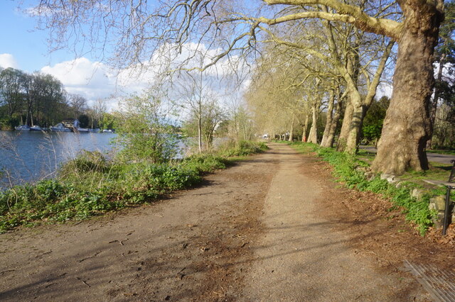
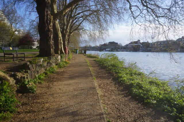
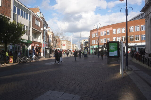
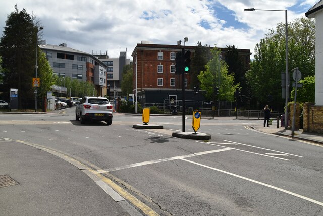
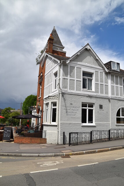
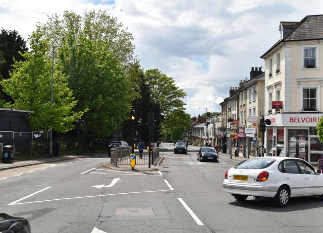
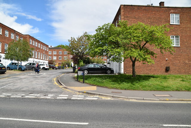
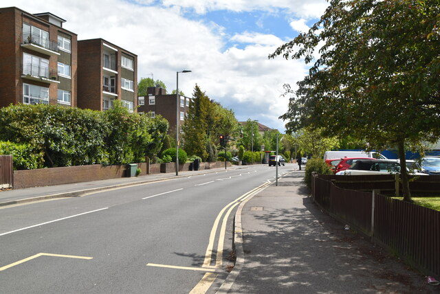
Dark Hill Images

Images are sourced within 2km of 51.423304/-0.28247869 or Grid Reference TQ1970. Thanks to Geograph Open Source API. All images are credited.

Thames Path, Kingston upon Thames
Clarence Street, Kingston upon Thames
B351, A308 junction The B351 consists of two roads either side of Richmond Park. It runs 4.5 miles from Norbiton <a href="https://www.geograph.org.uk/photo/7213742">TQ1969 : B351, A308 junction</a> to Mortlake.
B351, A308 junction
The B351 consists of two roads either side of Richmond Park. It runs 4.5 miles from Norbiton TQ1969 : B351, A308 junction to Mortlake.
The Albert
The Albert
A308, Kingston Hill The A308 is a road in West London. It is in 2 parts, Brompton to Fulham and Richmond Park to Maidenhead.
Wikipedia: <span class="nowrap"><a title="http://en.wikipedia.org/wiki/A308_road" rel="nofollow ugc noopener" href="http://en.wikipedia.org/wiki/A308_road">Link</a><img style="margin-left:2px;" alt="External link" title="External link - shift click to open in new window" src="https://s1.geograph.org.uk/img/external.png" width="10" height="10"/></span>
A308, Kingston Hill
The A308 is a road in West London. It is in 2 parts, Brompton to Fulham and Richmond Park to Maidenhead. Wikipedia: LinkExternal link
Blenheim Garden
Blenheim Garden
Galsworthy Rd
Galsworthy Rd
Kingston Hospital
Kingston Hospital
Kingston Hospital
Kingston Hospital
Galsworthy Rd, A238 junction The A238 runs 5 miles from Collier's Wood to Norbiton, South West London.
<span class="nowrap"><a title="http://www.sabre-roads.org.uk/wiki/index.php?title=A238" rel="nofollow ugc noopener" href="http://www.sabre-roads.org.uk/wiki/index.php?title=A238">Link</a><img style="margin-left:2px;" alt="External link" title="External link - shift click to open in new window" src="https://s1.geograph.org.uk/img/external.png" width="10" height="10"/></span>
Galsworthy Rd, A238 junction
The A238 runs 5 miles from Collier's Wood to Norbiton, South West London. LinkExternal link
A238 The A238 runs 5 miles from Collier's Wood to Norbiton, South West London.
<span class="nowrap"><a title="http://www.sabre-roads.org.uk/wiki/index.php?title=A238" rel="nofollow ugc noopener" href="http://www.sabre-roads.org.uk/wiki/index.php?title=A238">Link</a><img style="margin-left:2px;" alt="External link" title="External link - shift click to open in new window" src="https://s1.geograph.org.uk/img/external.png" width="10" height="10"/></span>
A238
The A238 runs 5 miles from Collier's Wood to Norbiton, South West London. LinkExternal link
Dumbleton Close
Dumbleton Close
Gloucester Rd, Kenley Rd junction
Kenley Rd
Kenley Rd
Revell Rd
Revell Rd
Kenley Rd
Kenley Rd
Show me another place!

Dark Hill is located at Grid Ref: TQ1970 (Lat: 51.423304, Lng: -0.28247869)

Unitary Authority: Richmond upon Thames

Police Authority: Metropolitan

What 3 Words

///likes.gift.inner. Near Kingston upon Thames, London

Related Wikis

Canbury School

Canbury School is a small, independent day school in Kingston upon Thames, Greater London with a maximum of 75 pupils on roll. == History == Canbury School...

Thatched House Lodge

Thatched House Lodge is a Grade II-listed building, dating from the 17th century, in Richmond Park in the London Borough of Richmond upon Thames in London...

Holy Cross Preparatory School

Holy Cross Preparatory School is an independent preparatory school for girls aged 4–11 in Coombe, London, England. == History == Holy Cross Preparatory...

St Agatha's Roman Catholic Church, Kingston upon Thames

St Agatha's is a Roman Catholic church on Wyndham Road in Kingston upon Thames, London. It is dedicated to Saint Agatha of Sicily. The Italianate church...

Latchmere Recreation Ground, Kingston upon Thames

Latchmere Recreation Ground is a public open space with playing fields and a children's playground in the north of the Royal Borough of Kingston upon Thames...

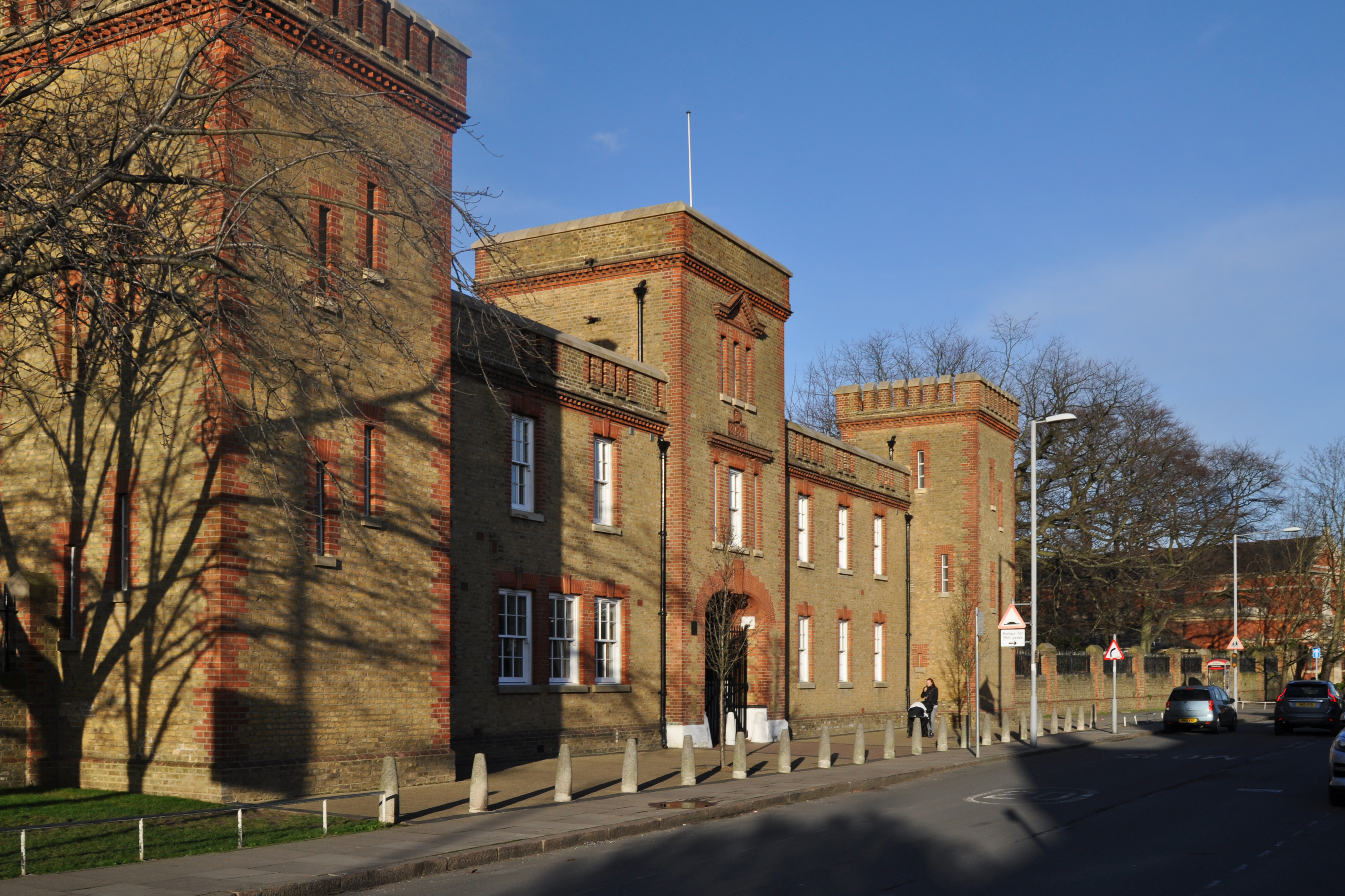
The Barracks, Kingston upon Thames

The Barracks was a military installation in Kingston upon Thames. == History == The barracks were built on agricultural land between 1874 and 1875. Their...

Kingston Hospital

Kingston Hospital is an acute hospital in Kingston upon Thames, England. It is managed by the Kingston Hospital NHS Foundation Trust. It has an Accident...

Rokeby Preparatory School

Rokeby School is an independent all-boys preparatory day school in Kingston upon Thames, London. Its headmaster is Jason Peck. The school offers an education...

Nearby Amenities

Located within 500m of 51.423304,-0.28247869
Crossing
Crossing: unmarked
Crossing Island: no
Crossing Markings: no
Lat/Long: 51.4235683/-0.2756355
Crossing: uncontrolled
Crossing Island: no
Crossing Ref: zebra
Source: crossing
Lat/Long: 51.4217846/-0.2770591
Traffic Calming: table
Lat/Long: 51.4201749/-0.2863499
Mini Roundabout
Direction: clockwise
Lat/Long: 51.4217852/-0.2861798
Traffic Calming: bump
Lat/Long: 51.4197711/-0.282458
Post Box
Collection Times: Mo-Fr 09:00; Sa 07:00
Operator: Royal Mail
Operator Wikidata: Q638098
Post Box Type: pillar
Ref: KT2 5D
Royal Cypher: GVIR
Royal Cypher Wikidata: Q33102169
Lat/Long: 51.4202474/-0.2787176
Noexit: yes
Lat/Long: 51.4225707/-0.2884721
Noexit: yes
Lat/Long: 51.4226736/-0.28851
Telephone
Booth: KXPlus
Covered: booth
Lat/Long: 51.4220002/-0.2770147
Bus Stop
Ravenswood Court
Bus: yes
Naptan AtcoCode: 490011445N
Naptan Bearing: N
Naptan CommonName: Ravenswood Court
Naptan Street: KINGSTON HILL
Naptan Verified: no
Public Transport: platform
Ref: 59403
Source Ref: naptan
Lat/Long: 51.4221895/-0.2768308
Bus Stop
Ravenswood Court
Naptan AtcoCode: 490011445S
Naptan Bearing: N
Naptan CommonName: Ravenswood Court
Naptan Street: KINGSTON HILL
Naptan Verified: no
Public Transport: platform
Lat/Long: 51.4214398/-0.2772331
Ford: yes
Lat/Long: 51.4243682/-0.2852692
Crossing
Crossing: unmarked
Crossing Markings: no
Traffic Calming: table
Lat/Long: 51.421096/-0.2864173
Drinking Water
Source: used May 2012
Lat/Long: 51.4202315/-0.2864469
Telephone
Booth: KXPlus
Covered: booth
Lat/Long: 51.4202507/-0.2787421
Atm
Lat/Long: 51.4203785/-0.2789671
Waste Basket
Lat/Long: 51.4203506/-0.2789019
Gate
Waterway: lock_gate
Lat/Long: 51.4204918/-0.2866333
Waste Basket
Bin
Lat/Long: 51.4210946/-0.2865732
Addr Housenumber: 1
Addr Street: Astor Close
Lat/Long: 51.4230157/-0.2765023
Addr Housenumber: 16
Addr Street: Astor Close
Lat/Long: 51.4233762/-0.2776643
Addr Housenumber: 17
Addr Street: Astor Close
Lat/Long: 51.4233463/-0.2781466
Addr Housenumber: 23
Addr Street: Astor Close
Lat/Long: 51.4236126/-0.2778502
Access: no
Barrier: cycle_barrier
Foot: yes
Lat/Long: 51.4220108/-0.2769922
Bench
Lat/Long: 51.4214852/-0.2866517
Bench
Backrest: yes
Lat/Long: 51.4226376/-0.284084
Entrance: main
Lat/Long: 51.423912/-0.2757171
Entrance: main
Lat/Long: 51.4238065/-0.2757342
Sir Malcolm Campbell and Donald Campbell
Historic: memorial
Inscription: Sir Malcolm Campbell (1885–1948), and Donald Campbell (1921–1967) Speed Record Holders on Land and Water lived here
Memorial: blue_plaque
Openplaques Id: 4872
Lat/Long: 51.4238637/-0.275752
Barrier: bollard
Lat/Long: 51.4200174/-0.2784442
Barrier: bollard
Lat/Long: 51.4215855/-0.2771364
Crossing
Crossing: uncontrolled
Crossing Ref: zebra
Lat/Long: 51.4199911/-0.2862483
Traffic Calming: table
Lat/Long: 51.4198173/-0.286107
Traffic Calming: bump
Lat/Long: 51.4202139/-0.2815458
Traffic Calming: bump
Lat/Long: 51.4200629/-0.2816233
Traffic Calming: bump
Lat/Long: 51.4202941/-0.2795797
Traffic Calming: bump
Lat/Long: 51.4189091/-0.2838623
Traffic Calming: bump
Lat/Long: 51.4193439/-0.2832679
Crossing
Lat/Long: 51.420388/-0.2781482
Barrier: bollard
Lat/Long: 51.4203384/-0.2781055
Waste Basket
Lat/Long: 51.4222359/-0.2767844
Barrier: bollard
Lat/Long: 51.4222336/-0.2767651
Barrier: bollard
Lat/Long: 51.4220398/-0.2769226
Post Box
Collection Times: Mo-Fr 09:00; Sa 07:00
Operator: Royal Mail
Operator Wikidata: Q638098
Post Box Type: pillar
Ref: KT2 76D
Royal Cypher: VR
Royal Cypher Wikidata: Q33102356
Lat/Long: 51.4202837/-0.2841876
Edward Muybridge Plaque
Historic: memorial
Memorial: plaque
Lat/Long: 51.420011/-0.285092
Cafe
Colicci Coffee
Brand: Colicci
Brand Wikidata: Q110057606
Cuisine: coffee_shop
Takeaway: yes
Lat/Long: 51.4205196/-0.2865545
Tactile Paving: yes
Lat/Long: 51.4201219/-0.2784425
Tactile Paving: yes
Lat/Long: 51.4201787/-0.2784126
Crossing
Crossing: unmarked
Crossing Island: no
Crossing Markings: no
Traffic Calming: table
Lat/Long: 51.4201522/-0.2784266
Tactile Paving: yes
Lat/Long: 51.4235451/-0.27556
Give Way
Direction: backward
Lat/Long: 51.4231754/-0.2758248
Bicycle: yes
Colour Arrow: white
Colour Back: blue;#93d50a
Colour Text: white
Cycle Network: GB:London Cycleways
Description: Cycleway 30 route sign, indicating straight on for Kingston University (Kingston Hill Campus) 4 mins
Destination: Kingston University (Kingston Hill Campus)
Direction: 200
Guide Type: destination
Information: guidepost
Operator: Kingston Council
Tourism: information
Lat/Long: 51.4229187/-0.2762205
Tactile Paving: yes
Lat/Long: 51.4218051/-0.2771213
Give Way
Direction: backward
Lat/Long: 51.423727/-0.2755998
Crossing
Lat/Long: 51.4240019/-0.2754115
Tactile Paving: yes
Lat/Long: 51.4235889/-0.2757023
Tactile Paving: yes
Lat/Long: 51.4217658/-0.2769988
Barrier: bollard
Lat/Long: 51.4195651/-0.2785673
Bicycle Parking
Bicycle Parking: stands
Capacity: 4
Ref GB Tflcid: RWG124927
Lat/Long: 51.4203171/-0.2786708
Bicycle Parking
Bicycle Parking: stands
Capacity: 4
Ref GB Tflcid: RWG124928
Lat/Long: 51.4203523/-0.2788692
Bicycle Parking
Bicycle Parking: stands
Capacity: 2
Ref GB Tflcid: RWG124926
Lat/Long: 51.4202694/-0.2785328
Ref GB Tflcid: RWG133083
Traffic Calming: hump
Lat/Long: 51.4201637/-0.2848076
Ref GB Tflcid: RWG133078
Traffic Calming: hump
Lat/Long: 51.4198848/-0.2858175
Ref GB Tflcid: RWG132599
Traffic Calming: hump
Lat/Long: 51.4202291/-0.2807508
Ref GB Tflcid: RWG132592
Traffic Calming: hump
Lat/Long: 51.4202303/-0.2788437
Bus Stop
Kingston Gate Car Park
Bench: no
Bus: yes
Public Transport: platform
Lat/Long: 51.4217735/-0.2859087
Waste Basket
Lat/Long: 51.4204321/-0.2865257
The data included in this document is from www.openstreetmap.org. The data is made available under ODbL.

Have you been to Dark Hill?

Leave your review of Dark Hill below (or comments, questions and feedback).