Gallows Pond

Lake, Pool, Pond, Freshwater Marsh in Surrey

England

Gallows Pond

Thames Path, Kingston upon Thames
Thames Path, Kingston upon Thames Credit: Ian S

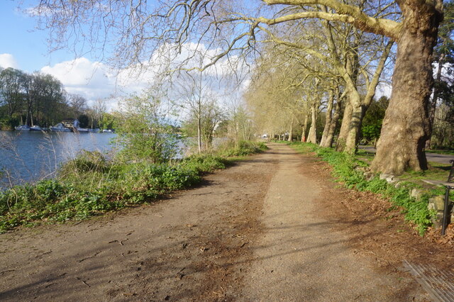
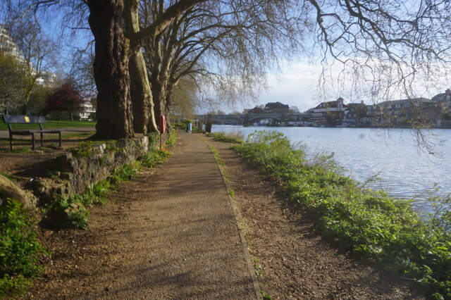
Gallows Pond is a picturesque freshwater marsh located in Surrey, England. It is nestled within the tranquil countryside, surrounded by lush greenery and rolling hills. The pond covers an area of approximately 10 acres and is a popular spot for nature enthusiasts and birdwatchers.

The pond itself is teeming with diverse flora and fauna, making it a haven for wildlife. It is home to a variety of bird species, including swans, ducks, and herons, which can often be seen gracefully gliding across the water. The surrounding marshland provides a rich habitat for numerous amphibians and insects, further enhancing the biodiversity of the area.

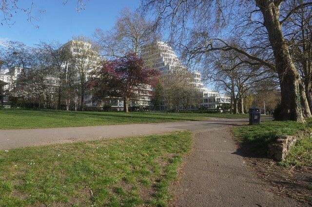
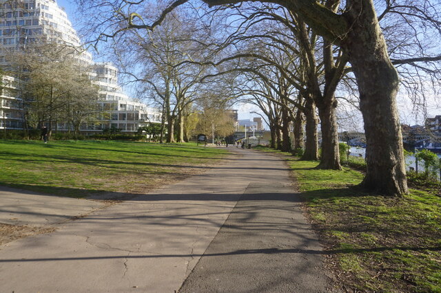
Visitors can enjoy the peaceful ambiance of Gallows Pond while strolling along the designated walking trails that meander through the surrounding woodlands. These trails offer breathtaking views of the pond and its surroundings, making it an ideal destination for leisurely walks and picnics.

The pond also offers recreational activities such as fishing, with a range of freshwater fish species available for anglers to catch. Fishing is regulated and requires a valid fishing permit, ensuring the sustainability of the pond's ecosystem.

Gallows Pond is not only a haven for wildlife but also a place of historical significance. The name "Gallows" is derived from the area's past, as it was once a site for public executions during medieval times. Today, it serves as a reminder of the area's rich heritage.

Overall, Gallows Pond offers a serene escape from the bustling city life, providing visitors with an opportunity to connect with nature and explore the beauty of Surrey's countryside.

If you have any feedback on the listing, please let us know in the comments section below.
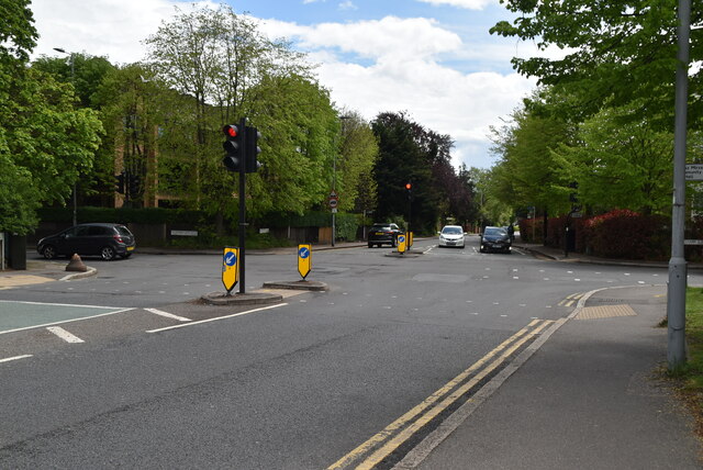
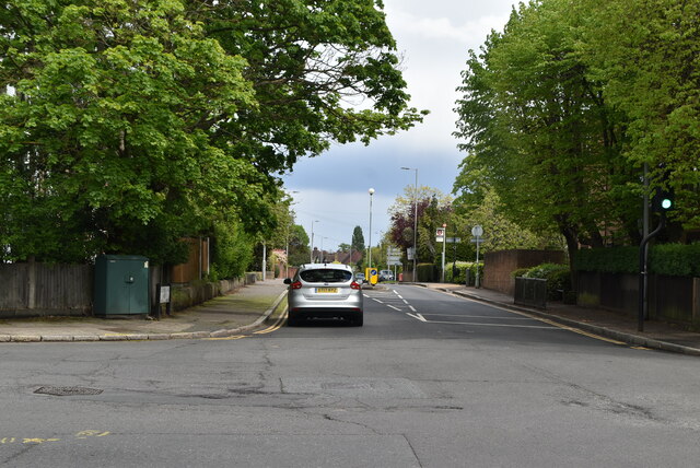
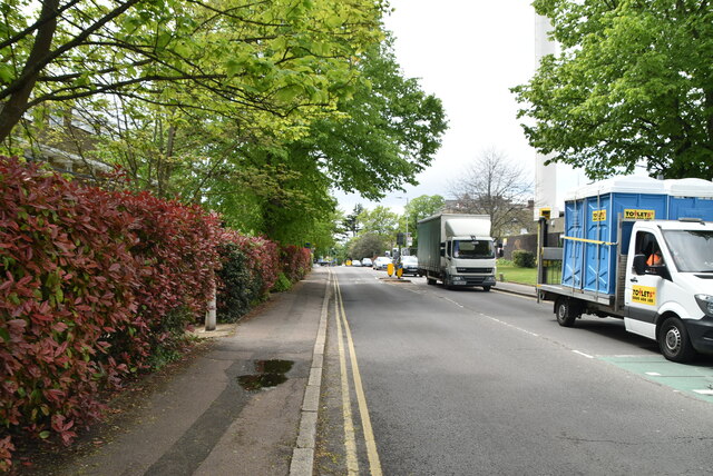
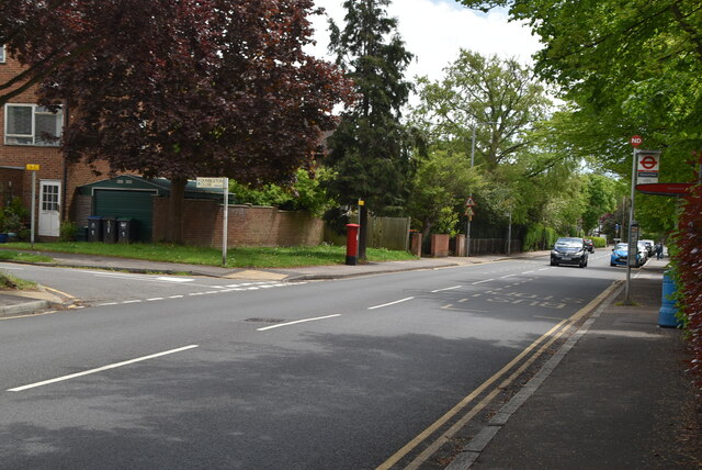
Gallows Pond Images

Images are sourced within 2km of 51.424383/-0.28489789 or Grid Reference TQ1970. Thanks to Geograph Open Source API. All images are credited.

Thames Path, Kingston upon Thames
Clarence Street, Kingston upon Thames
B351, A308 junction The B351 consists of two roads either side of Richmond Park. It runs 4.5 miles from Norbiton <a href="https://www.geograph.org.uk/photo/7213742">TQ1969 : B351, A308 junction</a> to Mortlake.
B351, A308 junction
The B351 consists of two roads either side of Richmond Park. It runs 4.5 miles from Norbiton TQ1969 : B351, A308 junction to Mortlake.
The Albert
The Albert
A308, Kingston Hill The A308 is a road in West London. It is in 2 parts, Brompton to Fulham and Richmond Park to Maidenhead.
Wikipedia: <span class="nowrap"><a title="http://en.wikipedia.org/wiki/A308_road" rel="nofollow ugc noopener" href="http://en.wikipedia.org/wiki/A308_road">Link</a><img style="margin-left:2px;" alt="External link" title="External link - shift click to open in new window" src="https://s1.geograph.org.uk/img/external.png" width="10" height="10"/></span>
A308, Kingston Hill
The A308 is a road in West London. It is in 2 parts, Brompton to Fulham and Richmond Park to Maidenhead. Wikipedia: LinkExternal link
Blenheim Garden
Blenheim Garden
Galsworthy Rd
Galsworthy Rd
Kingston Hospital
Kingston Hospital
Kingston Hospital
Kingston Hospital
Galsworthy Rd, A238 junction The A238 runs 5 miles from Collier's Wood to Norbiton, South West London.
<span class="nowrap"><a title="http://www.sabre-roads.org.uk/wiki/index.php?title=A238" rel="nofollow ugc noopener" href="http://www.sabre-roads.org.uk/wiki/index.php?title=A238">Link</a><img style="margin-left:2px;" alt="External link" title="External link - shift click to open in new window" src="https://s1.geograph.org.uk/img/external.png" width="10" height="10"/></span>
Galsworthy Rd, A238 junction
The A238 runs 5 miles from Collier's Wood to Norbiton, South West London. LinkExternal link
A238 The A238 runs 5 miles from Collier's Wood to Norbiton, South West London.
<span class="nowrap"><a title="http://www.sabre-roads.org.uk/wiki/index.php?title=A238" rel="nofollow ugc noopener" href="http://www.sabre-roads.org.uk/wiki/index.php?title=A238">Link</a><img style="margin-left:2px;" alt="External link" title="External link - shift click to open in new window" src="https://s1.geograph.org.uk/img/external.png" width="10" height="10"/></span>
A238
The A238 runs 5 miles from Collier's Wood to Norbiton, South West London. LinkExternal link
Dumbleton Close
Dumbleton Close
Gloucester Rd, Kenley Rd junction
Kenley Rd
Kenley Rd
Show me another place!

Gallows Pond is located at Grid Ref: TQ1970 (Lat: 51.424383, Lng: -0.28489789)

Unitary Authority: Richmond upon Thames

Police Authority: Metropolitan

What 3 Words

///issues.inches.bids. Near Kingston upon Thames, London

Related Wikis

Thatched House Lodge

Thatched House Lodge is a Grade II-listed building, dating from the 17th century, in Richmond Park in the London Borough of Richmond upon Thames in London...

Canbury School

Canbury School is a small, independent day school in Kingston upon Thames, Greater London with a maximum of 75 pupils on roll. == History == Canbury School...

Latchmere Recreation Ground, Kingston upon Thames

Latchmere Recreation Ground is a public open space with playing fields and a children's playground in the north of the Royal Borough of Kingston upon Thames...

St Agatha's Roman Catholic Church, Kingston upon Thames

St Agatha's is a Roman Catholic church on Wyndham Road in Kingston upon Thames, London. It is dedicated to Saint Agatha of Sicily. The Italianate church...

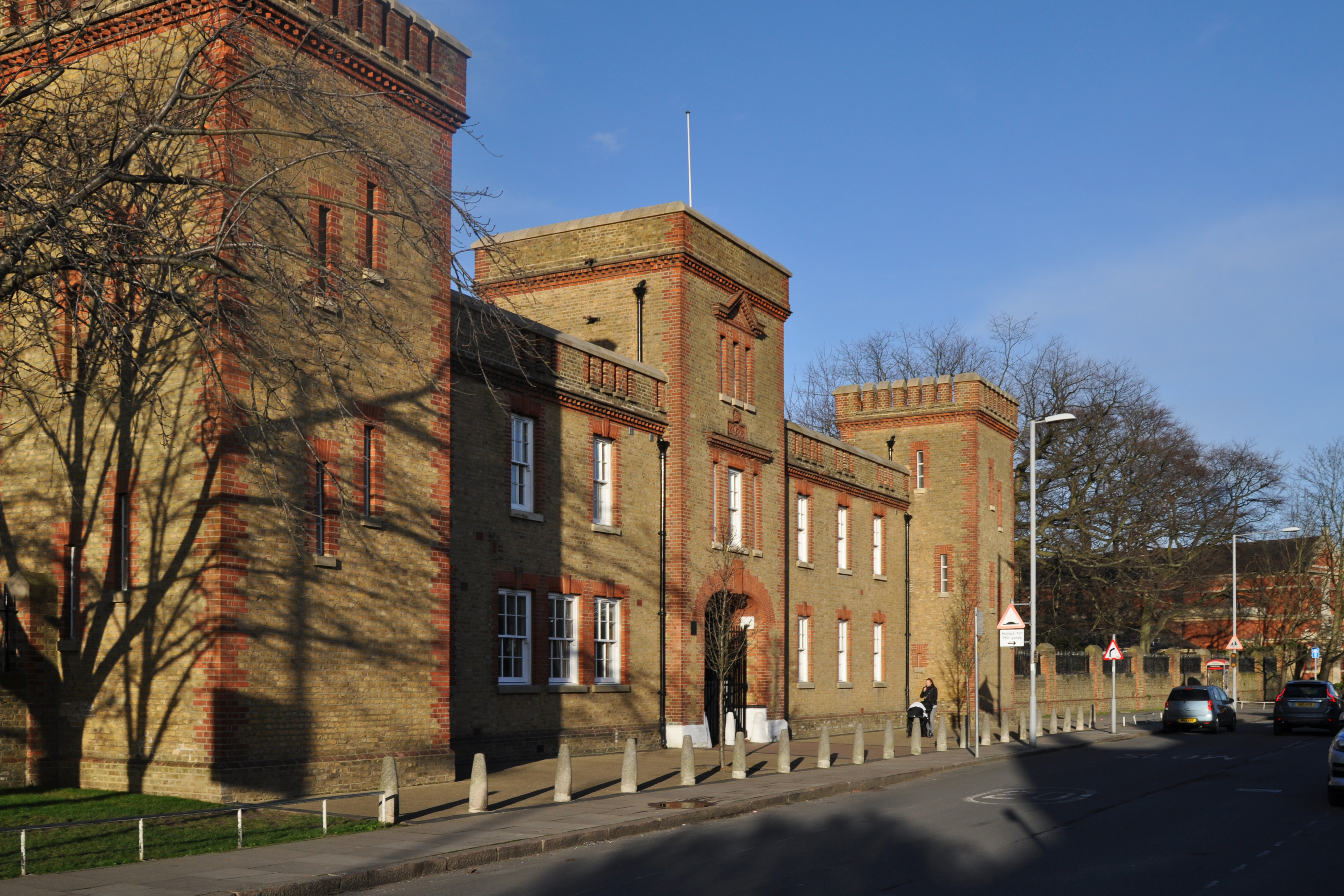
The Barracks, Kingston upon Thames

The Barracks was a military installation in Kingston upon Thames. == History == The barracks were built on agricultural land between 1874 and 1875. Their...

Latchmere House

Latchmere House is a building and grounds southeast of Ham Common in Ham, in the London Borough of Richmond upon Thames, in south west London, England...

Holy Cross Preparatory School

Holy Cross Preparatory School is an independent preparatory school for girls aged 4–11 in Coombe, London, England. == History == Holy Cross Preparatory...

Isabella Plantation

Isabella Plantation is a woodland garden in Richmond Park in south west London. It is managed by The Royal Parks. Originally located in a boggy part of...

Nearby Amenities

Located within 500m of 51.424383,-0.28489789
Traffic Calming: table
Lat/Long: 51.4201749/-0.2863499
Mini Roundabout
Direction: clockwise
Lat/Long: 51.4217852/-0.2861798
Mini Roundabout
Direction: clockwise
Lat/Long: 51.4245551/-0.2907163
Post Box
Collection Times: Mo-Fr 09:00; Sa 07:00
Operator: Royal Mail
Operator Wikidata: Q638098
Post Box Type: pillar
Ref: KT2 297D
Royal Cypher: GR
Royal Cypher Wikidata: Q33102273
Lat/Long: 51.4234377/-0.2901614
Noexit: yes
Lat/Long: 51.4225707/-0.2884721
Noexit: yes
Lat/Long: 51.4226736/-0.28851
Telephone
Booth: KXPlus
Covered: booth
Lat/Long: 51.4243822/-0.2904398
Bus Stop
Kelvedon Close
Bench: yes
Naptan AtcoCode: 490008613S
Naptan Bearing: N
Naptan CommonName: Kelvedon Close
Naptan Street: PARK ROAD
Naptan Verified: no
Public Transport: platform
Shelter: yes
Lat/Long: 51.4224745/-0.2899864
Bus Stop
Latchmere Road
Bus: yes
Naptan AtcoCode: 490008987N
Naptan Bearing: N
Naptan CommonName: Latchmere Road Park Road
Naptan Indicator: Stop
Naptan Street: PARK ROAD
Naptan Verified: no
Public Transport: platform
Lat/Long: 51.4234625/-0.2903402
Bus Stop
Wingfield Road
Naptan AtcoCode: 490010819E
Naptan Bearing: E
Naptan CommonName: Wingfield Road
Naptan Indicator: Stop
Naptan Street: TUDOR DRIVE
Naptan Verified: no
Public Transport: platform
Lat/Long: 51.4248865/-0.2915302
Bus Stop
Wingfield Road
Naptan AtcoCode: 490010819W
Naptan Bearing: W
Naptan CommonName: Wingfield Road
Naptan Indicator: Stop
Naptan Street: TUDOR DRIVE
Naptan Verified: no
Public Transport: platform
Lat/Long: 51.4249415/-0.2919884
Ford: yes
Lat/Long: 51.4243682/-0.2852692
Traffic Calming: bump
Lat/Long: 51.4246235/-0.290619
Traffic Calming: bump
Lat/Long: 51.4246509/-0.2909098
Crossing
Crossing: unmarked
Crossing Markings: no
Traffic Calming: table
Lat/Long: 51.421096/-0.2864173
Drinking Water
Source: used May 2012
Lat/Long: 51.4202315/-0.2864469
Bench
Backrest: yes
Lat/Long: 51.4281977/-0.2862493
Tourism: viewpoint
Lat/Long: 51.4282937/-0.286322
Bench
Backrest: yes
Lat/Long: 51.4285247/-0.2864224
Gate
Waterway: lock_gate
Lat/Long: 51.4204918/-0.2866333
Waste Basket
Bin
Lat/Long: 51.4210946/-0.2865732
Addr Housenumber: 17
Addr Street: Astor Close
Lat/Long: 51.4233463/-0.2781466
Addr Housenumber: 23
Addr Street: Astor Close
Lat/Long: 51.4236126/-0.2778502
Bench
Lat/Long: 51.4214852/-0.2866517
Bench
Backrest: yes
Lat/Long: 51.4226376/-0.284084
Driving School
Enjoy More Driving School
Addr Postcode: KT2 5LU
Addr Street: Wilmer Crescent
Email: enjoymoredriving@gmail.com
Opening Hours: Mo-Fr 07:00-21:00; Sa-Su 08:00-17:00
Phone: +44 7952974684
Website: http://www.enjoymoredriving.uk
Lat/Long: 51.4265814/-0.2899011
Crossing
Crossing: uncontrolled
Crossing Ref: zebra
Lat/Long: 51.4199911/-0.2862483
Crossing
Crossing: uncontrolled
Crossing Ref: zebra
Lat/Long: 51.4227567/-0.2901026
Kindergarten
Hummingbirds Montessori Nursery
Lat/Long: 51.4241987/-0.2906306
Traffic Calming: bump
Lat/Long: 51.4244248/-0.2905749
Post Box
Collection Times: Mo-Fr 09:00; Sa 07:00
Operator: Royal Mail
Operator Wikidata: Q638098
Post Box Type: pillar
Ref: KT2 76D
Royal Cypher: VR
Royal Cypher Wikidata: Q33102356
Lat/Long: 51.4202837/-0.2841876
Edward Muybridge Plaque
Historic: memorial
Memorial: plaque
Lat/Long: 51.420011/-0.285092
Cafe
Colicci Coffee
Brand: Colicci
Brand Wikidata: Q110057606
Cuisine: coffee_shop
Takeaway: yes
Lat/Long: 51.4205196/-0.2865545
Ref GB Tflcid: RWG133714
Traffic Calming: hump
Lat/Long: 51.4256567/-0.2909238
Ref GB Tflcid: RWG133083
Traffic Calming: hump
Lat/Long: 51.4201637/-0.2848076
Bus Stop
Kingston Gate Car Park
Bench: no
Bus: yes
Public Transport: platform
Lat/Long: 51.4217735/-0.2859087
Waste Basket
Lat/Long: 51.4204321/-0.2865257
The data included in this document is from www.openstreetmap.org. The data is made available under ODbL.

Have you been to Gallows Pond?

Leave your review of Gallows Pond below (or comments, questions and feedback).