Kingston Hill
Settlement in Staffordshire Stafford
England
Kingston Hill
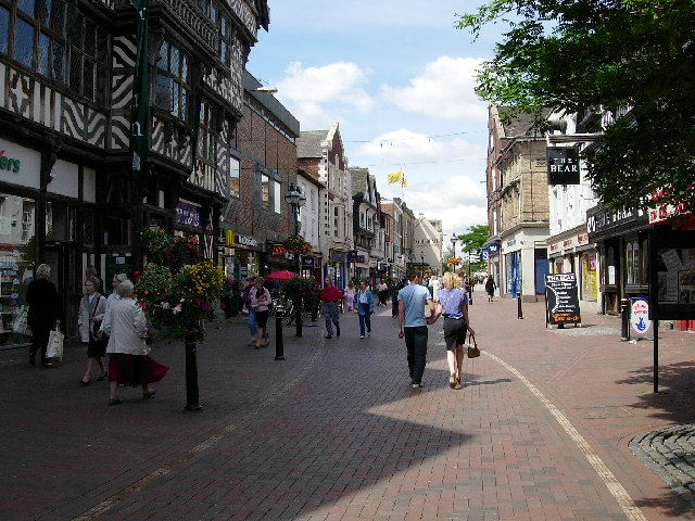
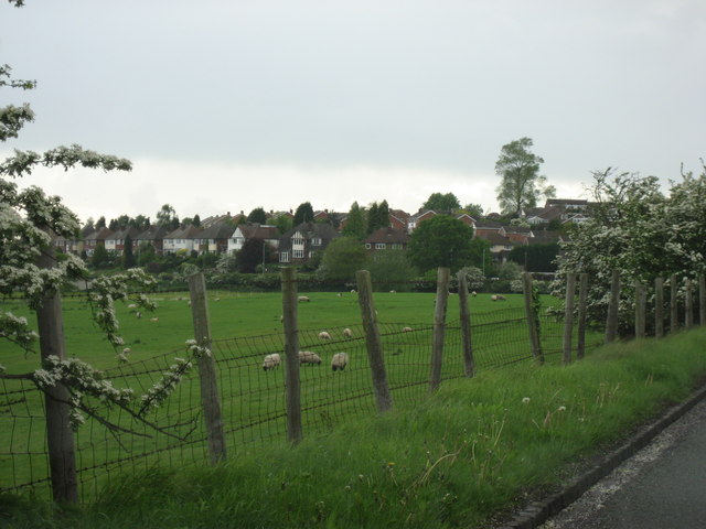
Kingston Hill is a picturesque village located in the county of Staffordshire, England. Situated on a gentle slope, the village offers breathtaking views of the surrounding countryside. With a population of around 500 residents, Kingston Hill maintains a close-knit community atmosphere.
The village is characterized by its charming cottages and traditional architecture, which adds to its idyllic appeal. The main focal point of Kingston Hill is the village green, a spacious area where locals often gather for events and recreational activities. The green is adorned with a variety of beautiful trees and flowerbeds, providing a tranquil setting for residents and visitors alike.
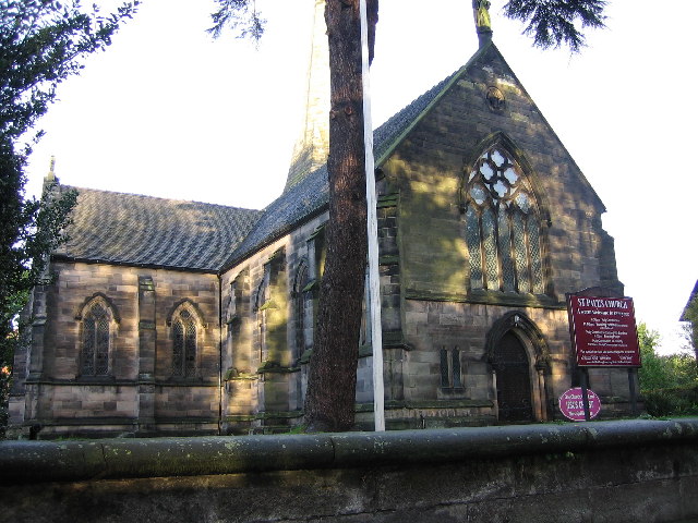
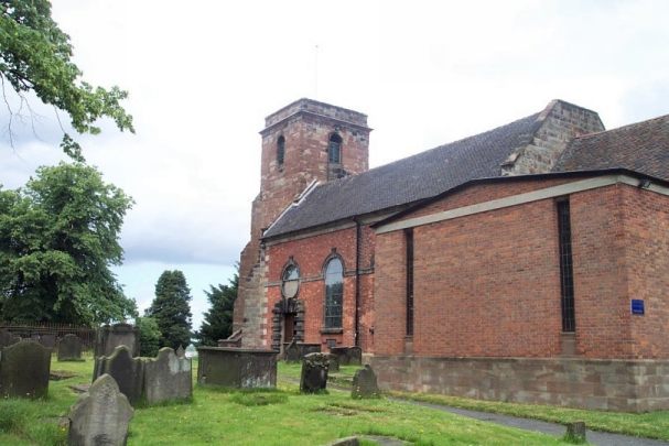
Kingston Hill is also home to St. Mary's Church, a historic landmark that dates back to the 12th century. The church's striking architecture and stained glass windows make it a popular destination for history enthusiasts and architecture lovers.
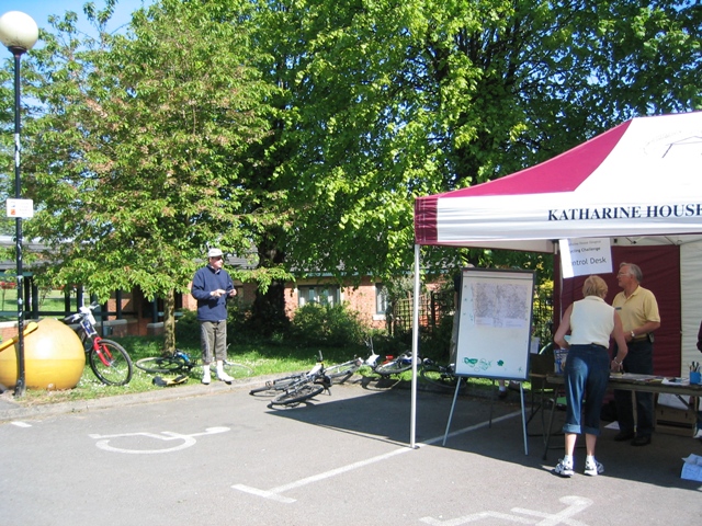
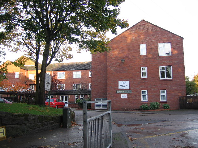
The village boasts several amenities, including a local pub, a village hall, and a small convenience store, catering to the needs of its residents. Additionally, Kingston Hill is surrounded by lush green fields and rolling hills, making it an ideal location for outdoor enthusiasts. The nearby countryside offers numerous walking and cycling routes, allowing visitors to fully immerse themselves in the natural beauty of the area.
Overall, Kingston Hill is a quintessential English village, known for its stunning landscapes, rich history, and strong sense of community. It offers a tranquil escape from the hustle and bustle of city life, providing a peaceful and charming retreat in the heart of Staffordshire.
If you have any feedback on the listing, please let us know in the comments section below.
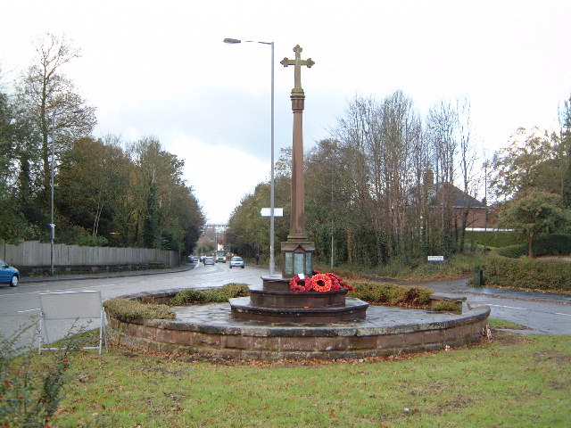
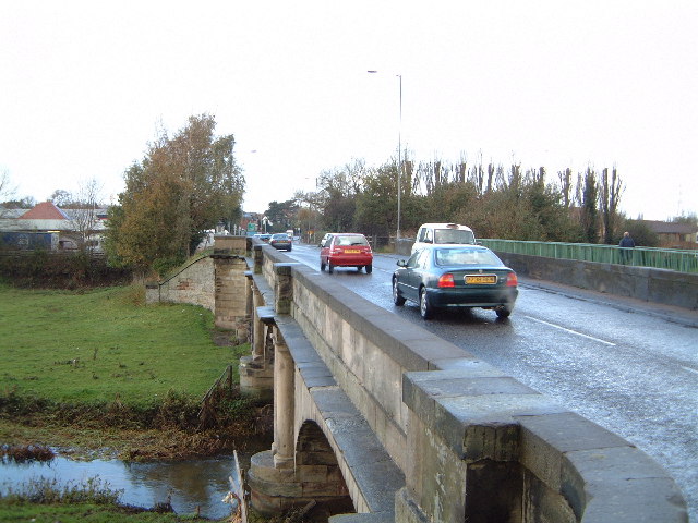
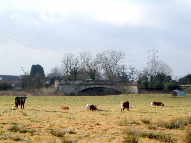
Kingston Hill Images
Images are sourced within 2km of 52.805651/-2.0908449 or Grid Reference SJ9323. Thanks to Geograph Open Source API. All images are credited.

Kingston Hill is located at Grid Ref: SJ9323 (Lat: 52.805651, Lng: -2.0908449)
Administrative County: Staffordshire
District: Stafford
Police Authority: Staffordshire
What 3 Words
///soaks.signal.deal. Near Stafford, Staffordshire
Nearby Locations
Related Wikis

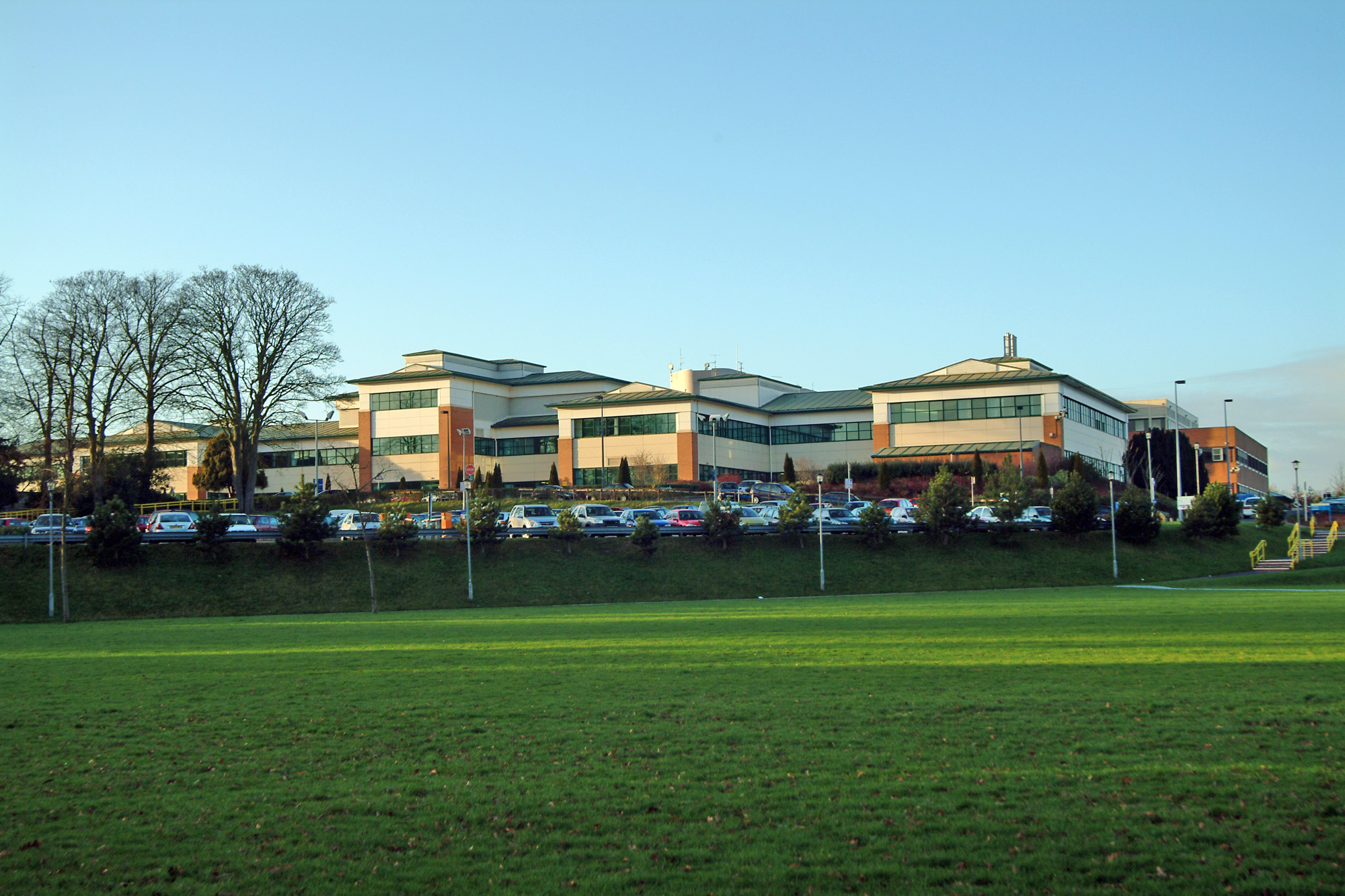
Mid Staffordshire Postgraduate Medical Centre
Mid Staffordshire Postgraduate Medical Centre is a Medical Education establishment situated in Stafford, England. The Centre is located in the grounds...

River Penk
The River Penk is a small river flowing through Staffordshire, England. Its course is mainly within South Staffordshire, and it drains most of the northern...

Littleworth, Stafford
Littleworth is a former village now forming part of the eastern end of the county town of Stafford in the English county of Staffordshire. Littleworth...
County Hospital, Stafford
County Hospital is an acute hospital with less than 200 inpatient beds, opened in 1983. It is the main hospital in Stafford, England. The hospital is managed...
Nearby Amenities
Located within 500m of 52.805651,-2.0908449Have you been to Kingston Hill?
Leave your review of Kingston Hill below (or comments, questions and feedback).