Irstead
Settlement in Norfolk North Norfolk
England
Irstead
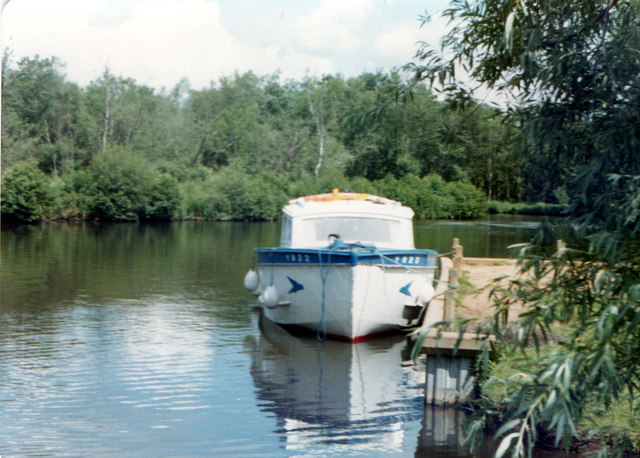
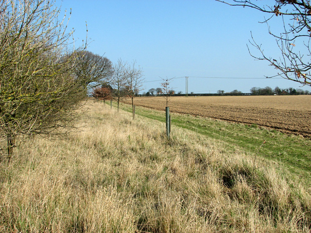
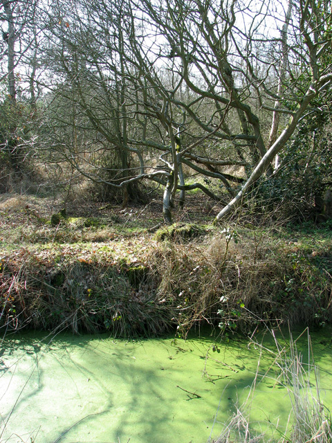
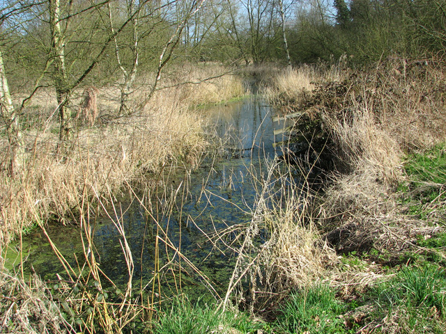
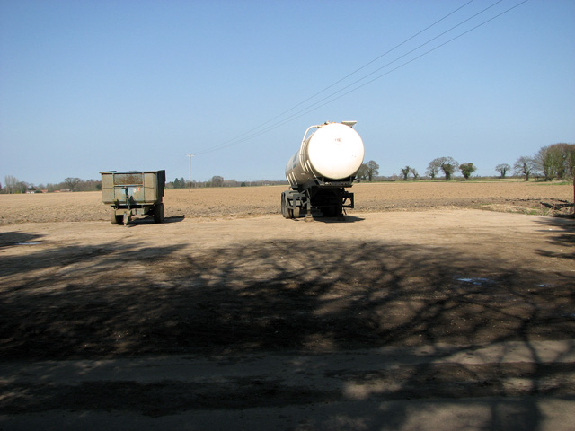
Irstead is a small village located in the county of Norfolk, England. Situated on the northern edge of the Norfolk Broads, it is approximately 13 miles northeast of the city of Norwich. The village is nestled alongside the River Ant, which meanders through picturesque countryside and offers stunning views of the surrounding wetlands.
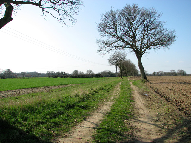
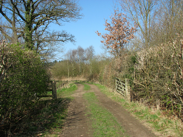
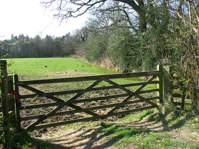
Irstead is known for its tranquility and natural beauty, making it a popular destination for tourists seeking a peaceful retreat. The village is characterized by its charming thatched-roof cottages, many of which date back several centuries. Its rural setting provides ample opportunities for outdoor activities such as birdwatching, boating, and fishing.
One of the notable landmarks in Irstead is St. Michael's Church, a medieval church that dates back to the 14th century. The church is renowned for its impressive round tower, which is a rare feature in Norfolk. Visitors can explore the church and admire its historical architecture and stained glass windows.
The village also boasts a traditional pub, The Lion Inn, where visitors can enjoy a refreshing drink or indulge in some delicious pub food. The pub has a warm and friendly atmosphere and often hosts events that showcase local talent, including live music performances.
Overall, Irstead offers a peaceful and idyllic escape from the hustle and bustle of city life. Its natural beauty, historic charm, and proximity to the Norfolk Broads make it a delightful destination for nature lovers and those seeking a quintessential English countryside experience.
If you have any feedback on the listing, please let us know in the comments section below.
Irstead Images
Images are sourced within 2km of 52.730021/1.5018099 or Grid Reference TG3620. Thanks to Geograph Open Source API. All images are credited.


Irstead is located at Grid Ref: TG3620 (Lat: 52.730021, Lng: 1.5018099)
Administrative County: Norfolk
District: North Norfolk
Police Authority: Norfolk
What 3 Words
///publisher.rewarding.blaze. Near Horning, Norfolk
Nearby Locations
Related Wikis

Irstead
Irstead is a village and former civil parish, now in the parish of Barton Turf, in the North Norfolk district, in the county of Norfolk, England. The village...

Catfield Fen Reserve
Catfield Fen is a wetland nature reserve near Ludham in the county of Norfolk, England. Butterfly Conservation owns and manages part of this reserve. Part...

Ant Broads and Marshes
Ant Broads and Marshes is a 745.3-hectare (1,842-acre) biological Site of Special Scientific Interest north-east of Norwich in Norfolk. Most of it is a...
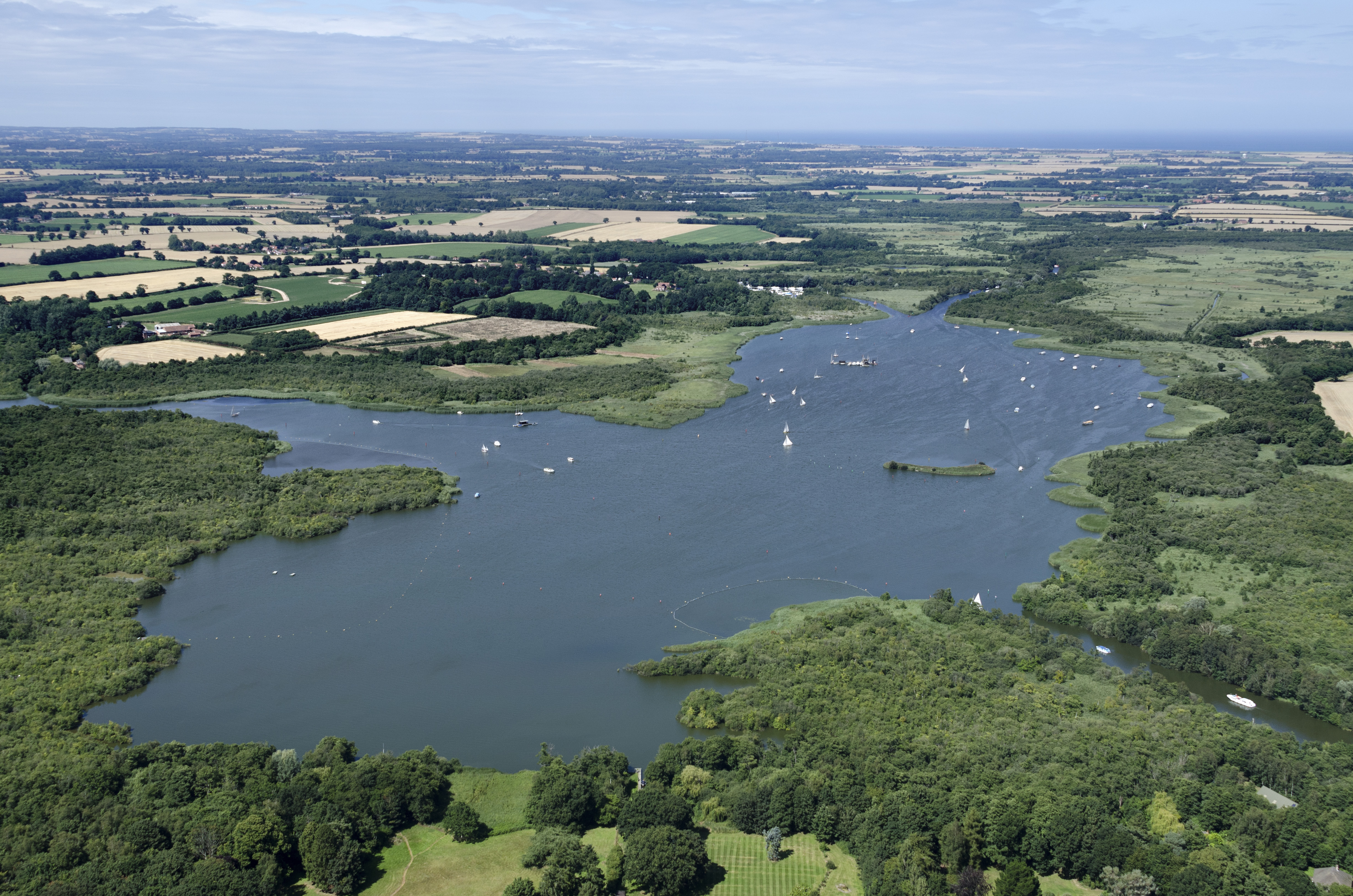
Barton Broad
Barton Broad is a large lake that forms part of the River Ant which gives its name to a 164-hectare (410-acre) nature reserve north-east of Norwich in...
Ant Broads & Marshes National Nature Reserve
Ant Broads & Marshes NNR is a national nature reserve in Norfolk, England established by English Nature. It is named after the River Ant. It is part of...
Crome's Broad
Crome's Broad is situated to the east of the River Ant, north of How Hill, within The Broads National Park in Norfolk, England. It is named after John...

Clayrack Drainage Mill
Clayrack Drainage Windmill is located at How Hill in the English county of Norfolk. It is on the east bank of the River Ant close to How Hill, a large...
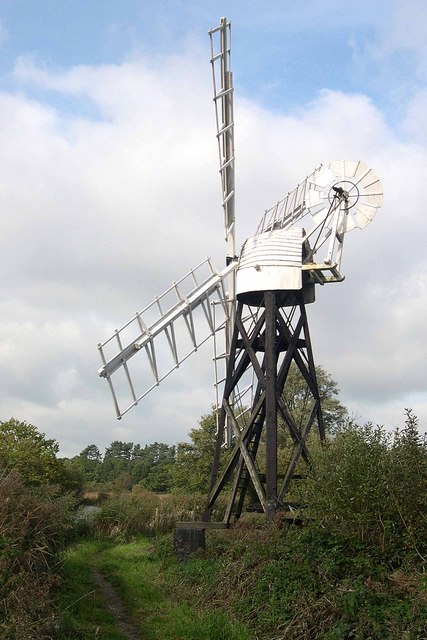
Boardman's Windmill
Boardman's Drainage Windmill is located at How Hill in the English county of Norfolk It is on the east bank of the River Ant close to the large Edwardian...
Nearby Amenities
Located within 500m of 52.730021,1.5018099Have you been to Irstead?
Leave your review of Irstead below (or comments, questions and feedback).