The Shoals
Sea, Estuary, Creek in Norfolk North Norfolk
England
The Shoals
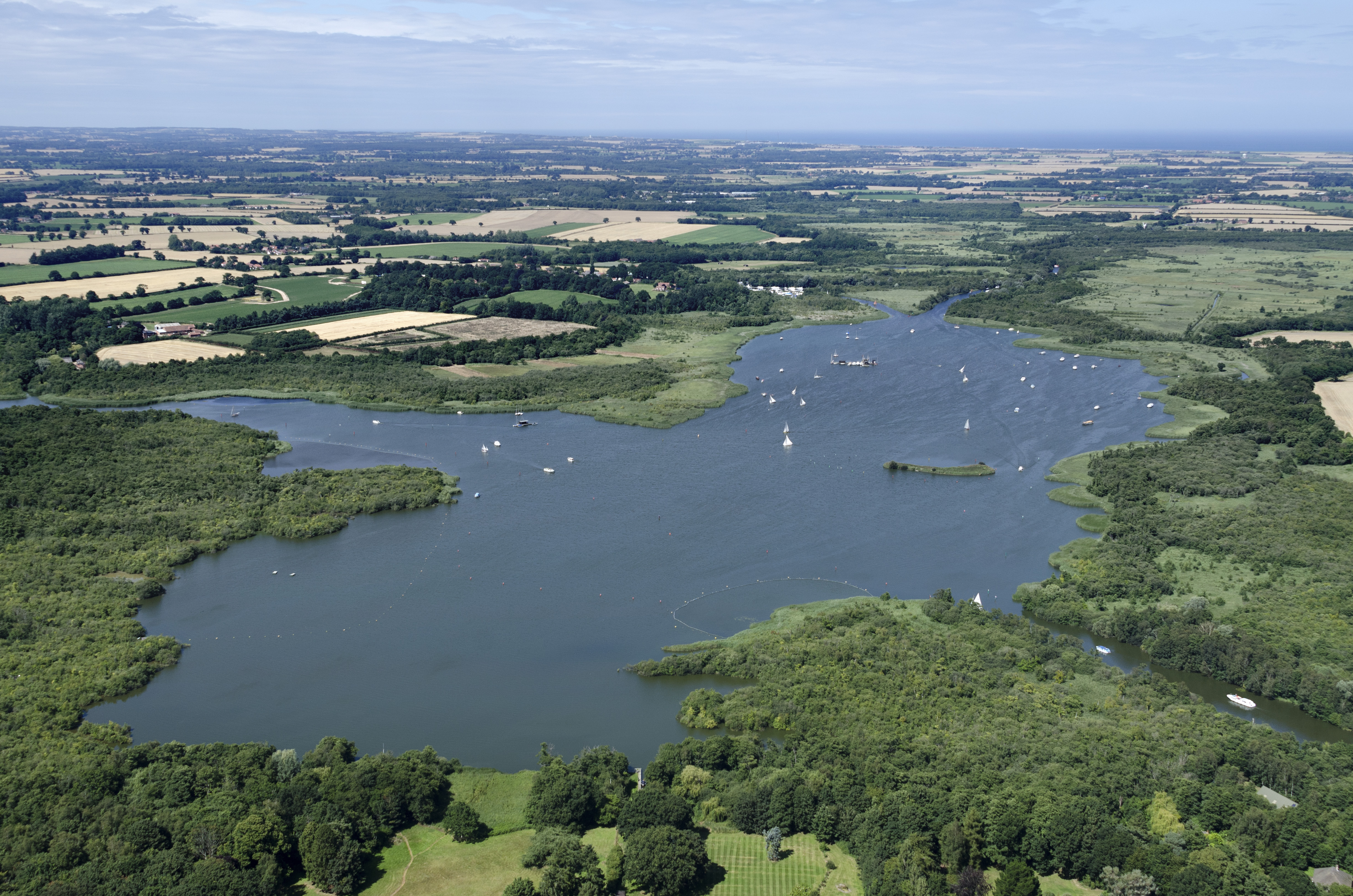
The Shoals, located in Norfolk, is a complex water feature comprising a sea, estuary, and creek system. Situated on the eastern coast of England, it is an important ecological and geographical formation. The area encompasses a vast expanse of coastal waters, including a diverse range of habitats and marine life.
The Shoals are primarily characterized by its sea, known for its turbulent waves and strong currents. This sea acts as a gateway to the North Sea, with its waters influenced by the tides and weather patterns. It provides a vital habitat for various species of fish, crustaceans, and marine mammals.
Within the Shoals lies an extensive estuary, where freshwater from rivers meets and mixes with seawater. This unique combination creates a brackish environment that supports a rich biodiversity. The estuary is home to numerous bird species, including waders, ducks, and geese, which rely on the abundant food sources found in the area.
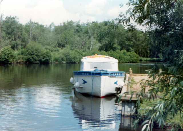
Additionally, the Shoals encompass a network of creeks that meander through the coastal landscape. These creeks serve as important feeding grounds for migratory birds and provide shelter for smaller marine organisms. They also offer opportunities for recreational activities such as boating and fishing.
Overall, the Shoals in Norfolk form a captivating and dynamic water system, offering diverse ecosystems and contributing to the region's natural beauty. It serves as a vital habitat for both marine and bird species, making it an important area for conservation and environmental management.
If you have any feedback on the listing, please let us know in the comments section below.
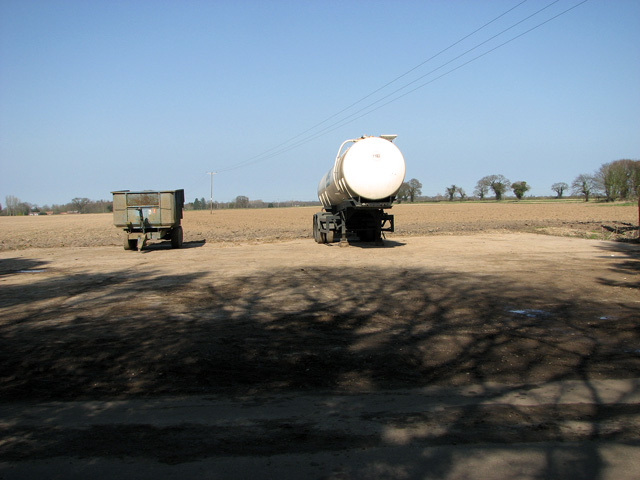
The Shoals Images
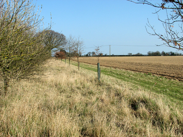
Images are sourced within 2km of 52.731305/1.5021796 or Grid Reference TG3620. Thanks to Geograph Open Source API. All images are credited.


The Shoals is located at Grid Ref: TG3620 (Lat: 52.731305, Lng: 1.5021796)
Administrative County: Norfolk
District: North Norfolk
Police Authority: Norfolk
What 3 Words
///refrained.strikers.indoors. Near Horning, Norfolk
Nearby Locations
Related Wikis

Irstead
Irstead is a village and former civil parish, now in the parish of Barton Turf, in the North Norfolk district, in the county of Norfolk, England. The village...

Catfield Fen Reserve
Catfield Fen is a wetland nature reserve near Ludham in the county of Norfolk, England. Butterfly Conservation owns and manages part of this reserve. Part...

Ant Broads and Marshes
Ant Broads and Marshes is a 745.3-hectare (1,842-acre) biological Site of Special Scientific Interest north-east of Norwich in Norfolk. Most of it is a...
Barton Broad
Barton Broad is a large lake that forms part of the River Ant which gives its name to a 164-hectare (410-acre) nature reserve north-east of Norwich in...
Ant Broads & Marshes National Nature Reserve
Ant Broads & Marshes NNR is a national nature reserve in Norfolk, England established by English Nature. It is named after the River Ant. It is part of...
Crome's Broad
Crome's Broad is situated to the east of the River Ant, north of How Hill, within The Broads National Park in Norfolk, England. It is named after John...

Clayrack Drainage Mill
Clayrack Drainage Windmill is located at How Hill in the English county of Norfolk. It is on the east bank of the River Ant close to How Hill, a large...
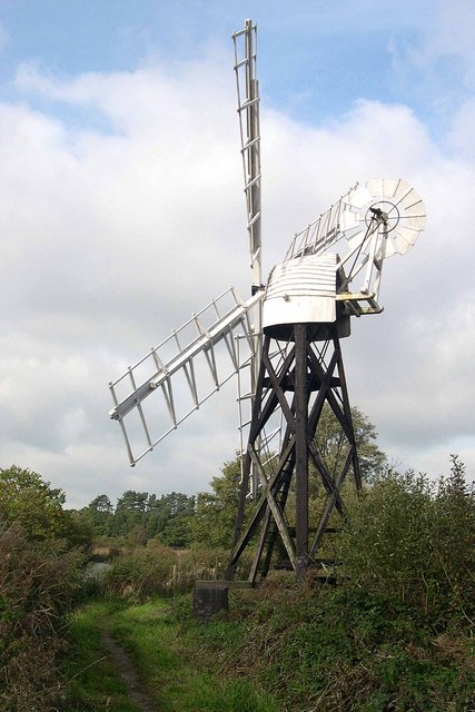
Boardman's Windmill
Boardman's Drainage Windmill is located at How Hill in the English county of Norfolk It is on the east bank of the River Ant close to the large Edwardian...
Nearby Amenities
Located within 500m of 52.731305,1.5021796Have you been to The Shoals?
Leave your review of The Shoals below (or comments, questions and feedback).