Little Fen
Wood, Forest in Norfolk North Norfolk
England
Little Fen
Little Fen is a charming village nestled in the heart of Norfolk, England. Located within the county's picturesque woodlands and forests, it offers residents and visitors a serene and peaceful environment. With a population of around 500 people, the village exudes a close-knit community atmosphere.
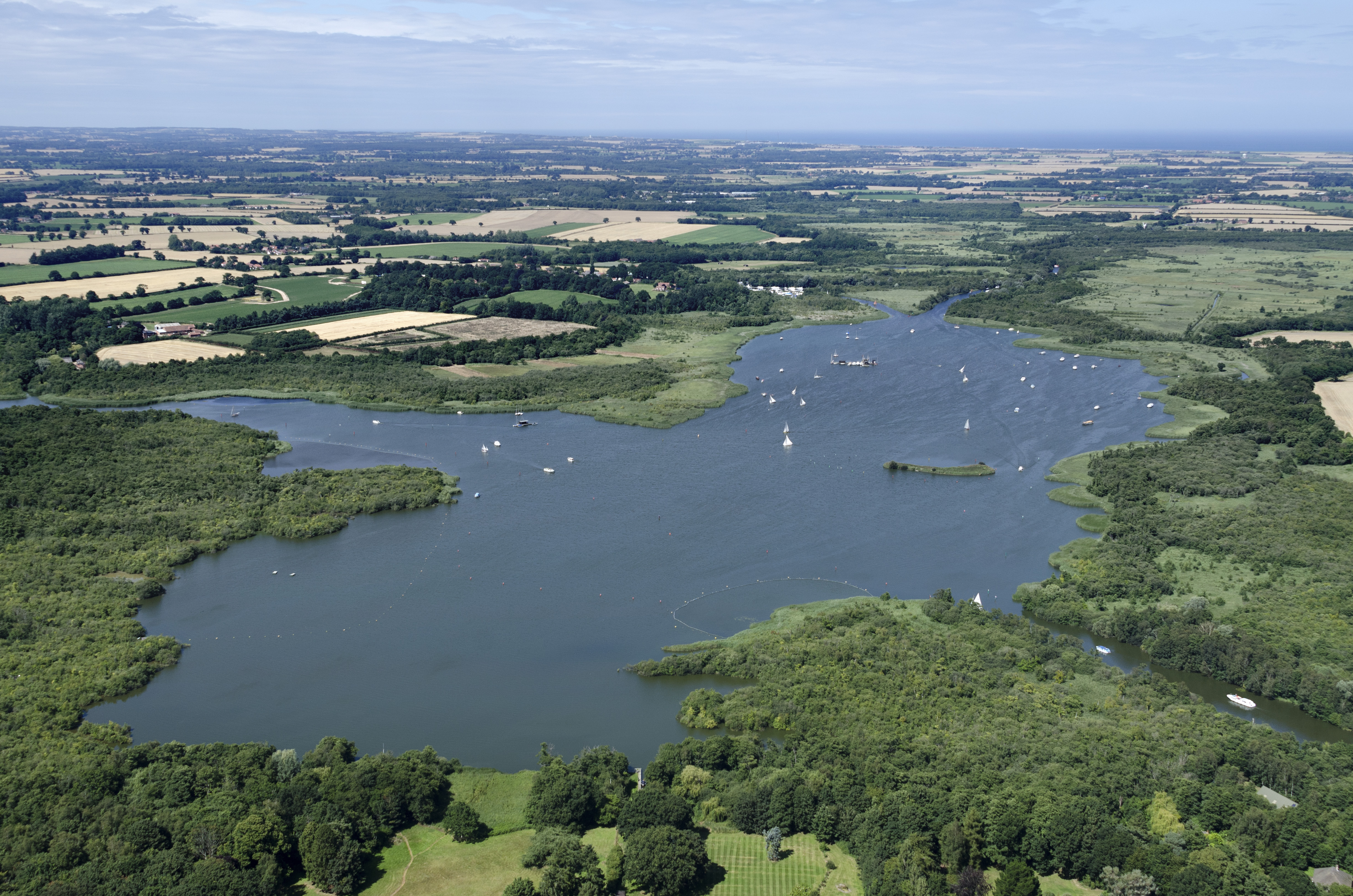
Surrounded by lush greenery, Little Fen is renowned for its breathtaking natural beauty. The village is dotted with small, traditional cottages, many of which date back several centuries, adding to its historic charm. The architecture reflects the region's rural heritage, with thatched roofs and exposed timber beams.
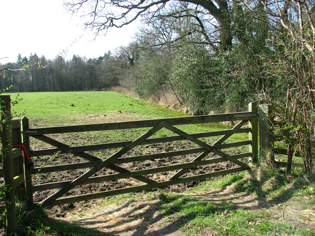
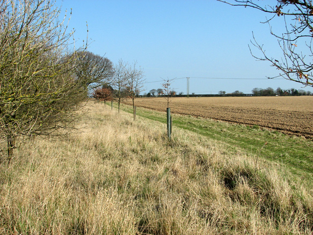
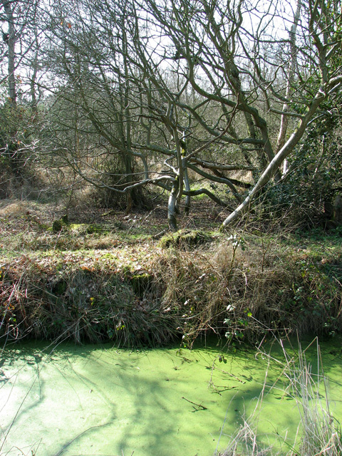
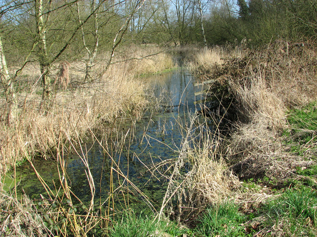
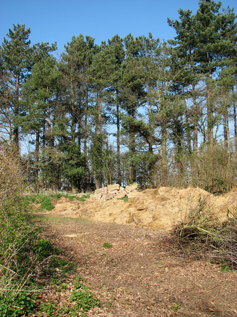
A notable feature of Little Fen is its proximity to vast woodlands and forests, which provide ample opportunities for outdoor activities and exploration. The area is renowned for its diverse wildlife, making it a haven for nature enthusiasts. Hiking trails and nature walks are abundant, allowing visitors to immerse themselves in the tranquil surroundings.
The village has a small but well-equipped primary school, ensuring that families with young children have access to education. However, for secondary education and other amenities, residents typically commute to nearby towns.
Despite its idyllic rural setting, Little Fen is well-connected to the wider region. It is located just a short drive from the town of Norwich, which offers a range of shopping, dining, and cultural experiences. Additionally, the village has good transport links, with regular bus services connecting it to surrounding towns and villages.
In summary, Little Fen is a picturesque village in Norfolk, boasting stunning woodlands, historic cottages, and a strong sense of community. It provides a peaceful and nature-rich environment for residents and visitors alike, while also offering convenient access to nearby amenities.
If you have any feedback on the listing, please let us know in the comments section below.
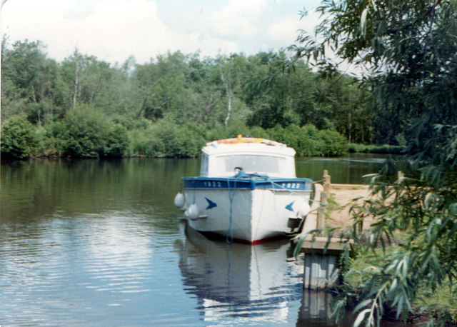
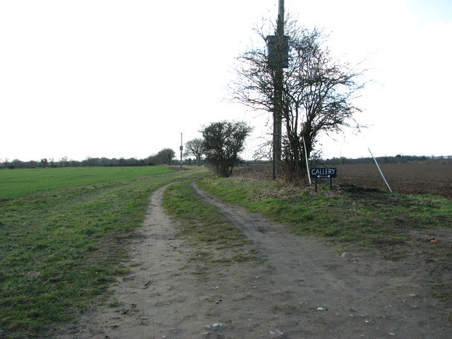
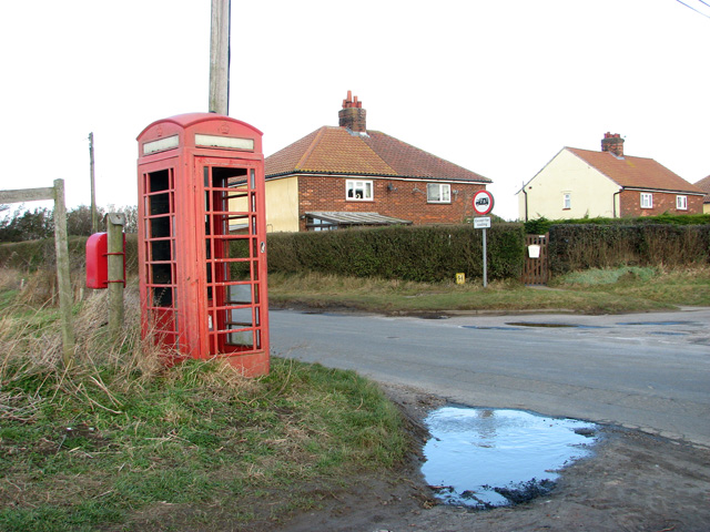
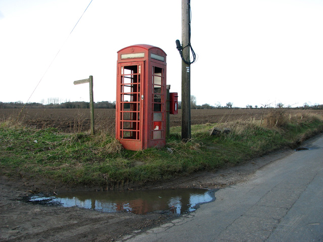
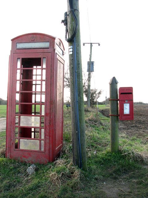
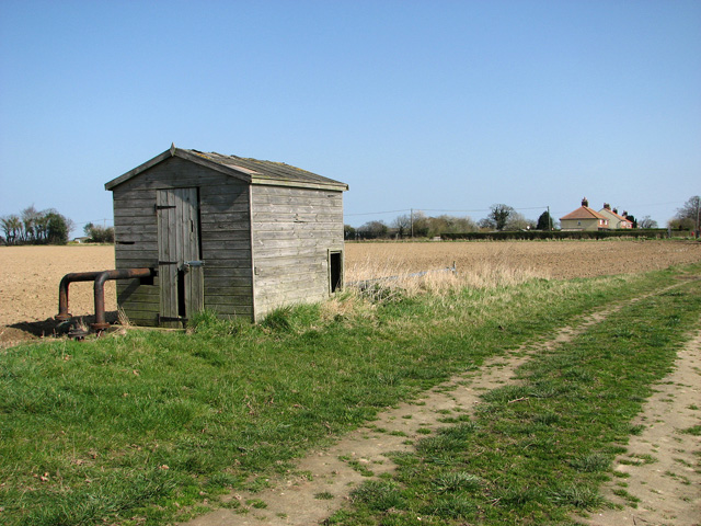
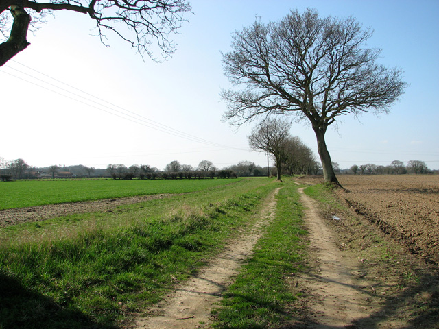
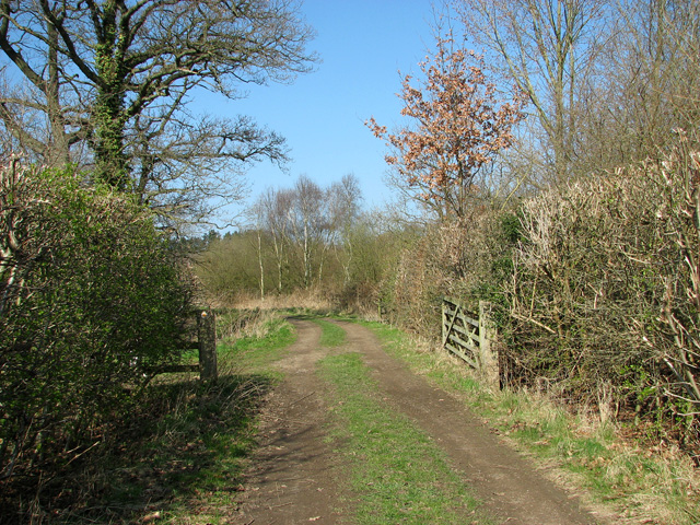
Little Fen Images
Images are sourced within 2km of 52.73399/1.5062919 or Grid Reference TG3620. Thanks to Geograph Open Source API. All images are credited.


Little Fen is located at Grid Ref: TG3620 (Lat: 52.73399, Lng: 1.5062919)
Administrative County: Norfolk
District: North Norfolk
Police Authority: Norfolk
What 3 Words
///outlines.flagpole.kitten. Near Stalham, Norfolk
Nearby Locations
Related Wikis

Catfield Fen Reserve
Catfield Fen is a wetland nature reserve near Ludham in the county of Norfolk, England. Butterfly Conservation owns and manages part of this reserve. Part...

Irstead
Irstead is a village and former civil parish, now in the parish of Barton Turf, in the North Norfolk district, in the county of Norfolk, England. The village...

Ant Broads and Marshes
Ant Broads and Marshes is a 745.3-hectare (1,842-acre) biological Site of Special Scientific Interest north-east of Norwich in Norfolk. Most of it is a...
Barton Broad
Barton Broad is a large lake that forms part of the River Ant which gives its name to a 164-hectare (410-acre) nature reserve north-east of Norwich in...
Nearby Amenities
Located within 500m of 52.73399,1.5062919Have you been to Little Fen?
Leave your review of Little Fen below (or comments, questions and feedback).