Island Carr
Wood, Forest in Norfolk Broadland
England
Island Carr
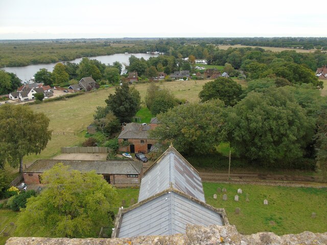
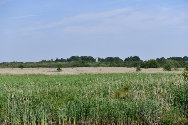
Island Carr, Norfolk, also known as Wood or Forest Island, is a small island located on the eastern coast of England. Situated off the coast of Norfolk, it is part of the larger Norfolk Broads National Park, a renowned wetland area known for its natural beauty and diverse wildlife.
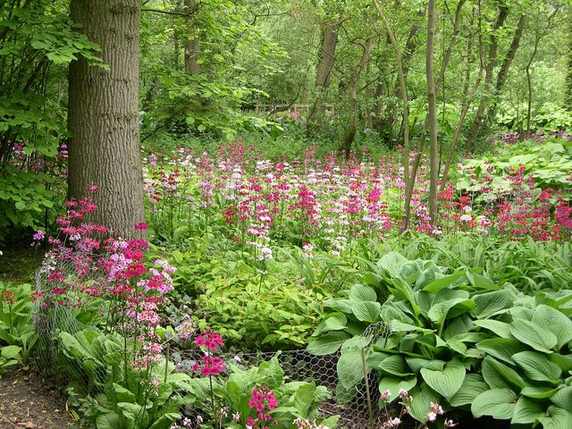
Island Carr is characterized by its lush woodlands and dense forests, which cover a significant portion of the island. The island's landscape is mainly flat, with a few gentle rolling hills, offering visitors picturesque views of the surrounding wetlands and meadows.
The island is home to a variety of plant and animal species, including several rare and protected species. The woodlands provide habitat for a diverse range of bird species, making it a popular destination for birdwatchers. Additionally, the surrounding waters are teeming with fish, attracting anglers from far and wide.
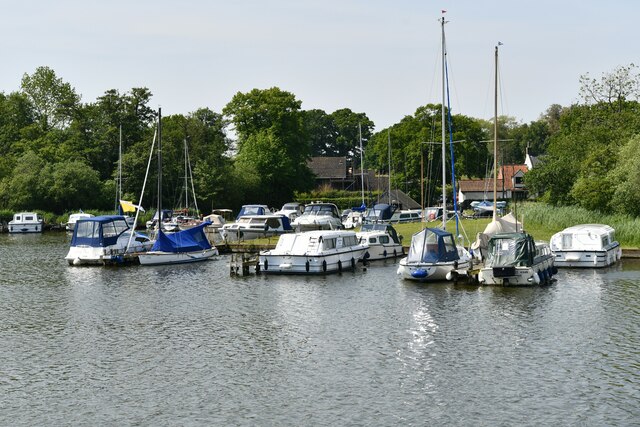
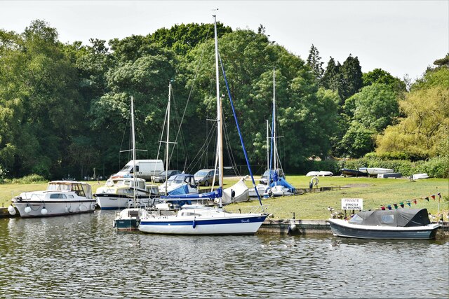
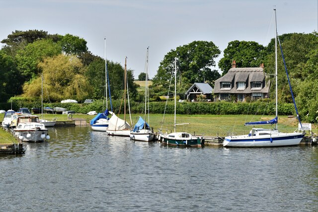
Island Carr is a haven for outdoor enthusiasts and nature lovers. The island offers numerous walking trails and cycling routes, allowing visitors to explore its natural wonders at their own pace. It is also a popular spot for boating and canoeing, with several waterways surrounding the island.
While Island Carr is primarily a natural haven, there are a few small settlements on the island, mainly consisting of holiday homes and cottages. This tranquil island offers a peaceful retreat away from the bustling city life, making it an ideal destination for those seeking relaxation and connection with nature.
If you have any feedback on the listing, please let us know in the comments section below.
Island Carr Images
Images are sourced within 2km of 52.666784/1.4996763 or Grid Reference TG3613. Thanks to Geograph Open Source API. All images are credited.


Island Carr is located at Grid Ref: TG3613 (Lat: 52.666784, Lng: 1.4996763)
Administrative County: Norfolk
District: Broadland
Police Authority: Norfolk
What 3 Words
///flopped.trespass.trails. Near Acle, Norfolk
Nearby Locations
Related Wikis
Fairhaven Woodland and Water Garden
Fairhaven Woodland and Water Garden, Norfolk, England, is a registered charity, comprising 131 acres (0.53 km2) of ancient woodland, woodland garden and...

South Walsham
South Walsham is a village and civil parish in the English county of Norfolk. It covers an area of 11.43 km2 (4.41 sq mi) and had a population of 738 in...
Ranworth
Ranworth is a village in Norfolk, England in The Broads, adjacent to Malthouse Broad and Ranworth Broad. It is located in the civil parish of Woodbastwick...

Malthouse Broad
Malthouse Broad is a broad (i.e., lake) at Ranworth in the Norfolk Broads. The "Helen of Ranworth" is a traditional reedlighter, a boat that carried away...
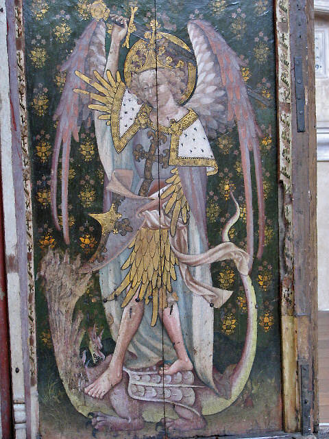
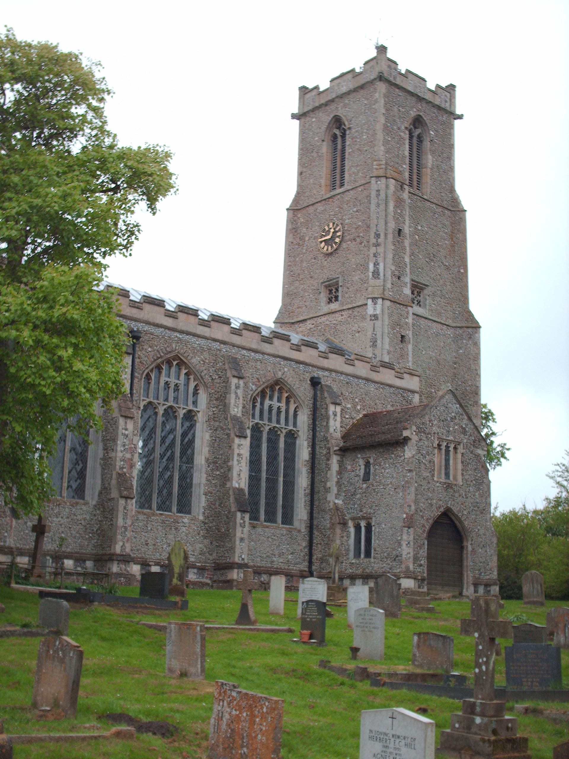
Church of St Helen, Ranworth
The Church of St Helen, Ranworth, Norfolk is a church of medieval origins notable for its collection of church paintings. Known as "the cathedral of The...

South Walsham Fen
South Walsham Fen is a 1.4-hectare (3.5-acre) Local Nature Reserve west of South Walsham in Norfolk. It is owned and managed by Norfolk County Council...

Ranworth Broad
Ranworth Broad is a 136-hectare (340-acre) nature reserve on the Norfolk Broads north-east of Norwich in Norfolk, United Kingdom. It is managed by the...

Upton Fen
Upton Fen lies within The Broads National Park in Norfolk, England.It is a nature reserve in the care of Norfolk Wildlife Trust. Notable species found...
Nearby Amenities
Located within 500m of 52.666784,1.4996763Have you been to Island Carr?
Leave your review of Island Carr below (or comments, questions and feedback).