Furze Grove
Wood, Forest in Norfolk South Norfolk
England
Furze Grove
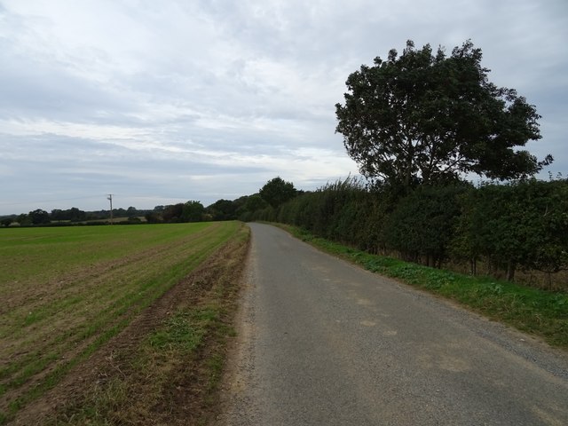
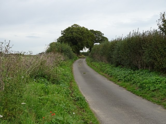
Furze Grove, located in Norfolk, England, is a stunning wood or forest area that captivates visitors with its natural beauty and tranquility. Covering an expansive area, this woodland is a haven for nature enthusiasts and those seeking a peaceful retreat from the hustle and bustle of everyday life.
The grove is predominantly characterized by its dense growth of furze bushes, which lend the area its name. These bushes, also known as gorse, are evergreen and bear bright yellow flowers that bloom throughout the year, providing a splash of color amidst the greenery. The vibrant hues of the furze bushes create a picturesque landscape that is truly a sight to behold.
As visitors explore Furze Grove, they will discover a variety of native plant and animal species that call this woodland home. The forest floor is adorned with a carpet of moss, ferns, and wildflowers, adding to the enchanting ambiance. The air is filled with the sweet scent of pine and the melodic songs of birds that inhabit the trees.
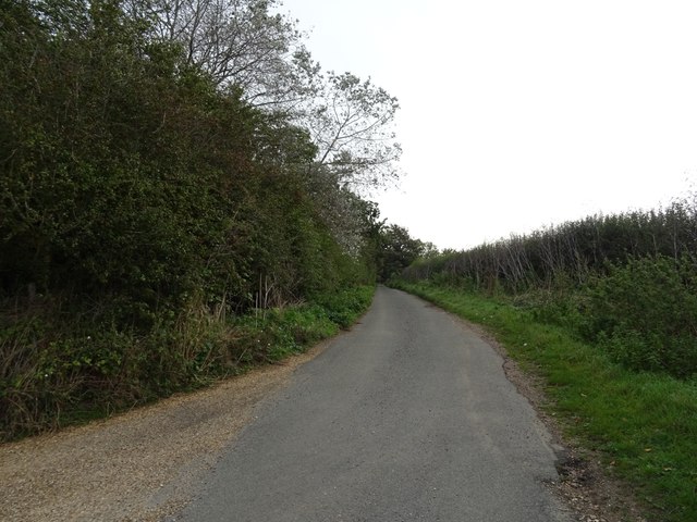
Tranquil walking paths wind through the grove, allowing visitors to immerse themselves in the natural surroundings. These paths offer an opportunity to observe the diverse wildlife that thrives here, such as squirrels, rabbits, and a variety of bird species. The grove is also home to several species of trees, including oaks, beeches, and birches, which create a serene and shaded canopy overhead.
Furze Grove is not only a place of natural beauty but also serves as an important ecological habitat. Its preservation and conservation are of utmost importance, ensuring future generations can continue to enjoy the splendor and serenity it offers.
If you have any feedback on the listing, please let us know in the comments section below.
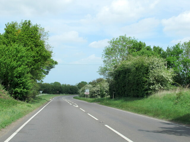
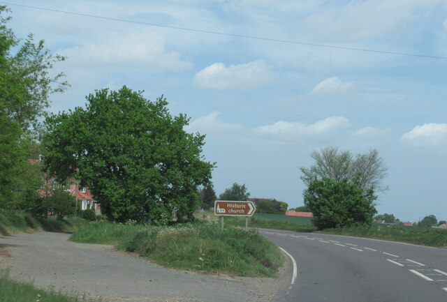
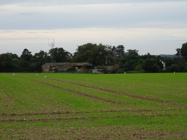
Furze Grove Images
Images are sourced within 2km of 52.502741/1.4865019 or Grid Reference TM3695. Thanks to Geograph Open Source API. All images are credited.


Furze Grove is located at Grid Ref: TM3695 (Lat: 52.502741, Lng: 1.4865019)
Administrative County: Norfolk
District: South Norfolk
Police Authority: Norfolk
What 3 Words
///circus.silent.presuming. Near Loddon, Norfolk
Nearby Locations
Related Wikis

Hales Hall
Hales Hall is a notable English country house in Loddon, Norfolk, largely dating from the 15th century. It was once the seat of the Hobart family, including...
Kirby Cane
Kirby Cane is a scattered village and civil parish centred 3.8 miles (6.1 km) west northwest of Beccles and 2.7 miles (4.3 km) northeast of Bungay. It...

Hales Green Common
Hales Green Common is an area of open access common land situated in South Norfolk, England. Hales Green Common has been described by Norfolk Wildlife...

St Margaret's Church, Hales
St Margaret's Church is a redundant Anglican church in the village of Hales, Norfolk, England. It is recorded in the National Heritage List for England...
Nearby Amenities
Located within 500m of 52.502741,1.4865019Have you been to Furze Grove?
Leave your review of Furze Grove below (or comments, questions and feedback).