Falgate Carr

Wood, Forest in Norfolk North Norfolk

England

Falgate Carr

Barton Broad - Gayes Staithe 1980
Barton Broad - Gayes Staithe 1980 Credit: Roy Hughes

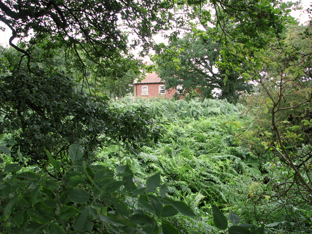
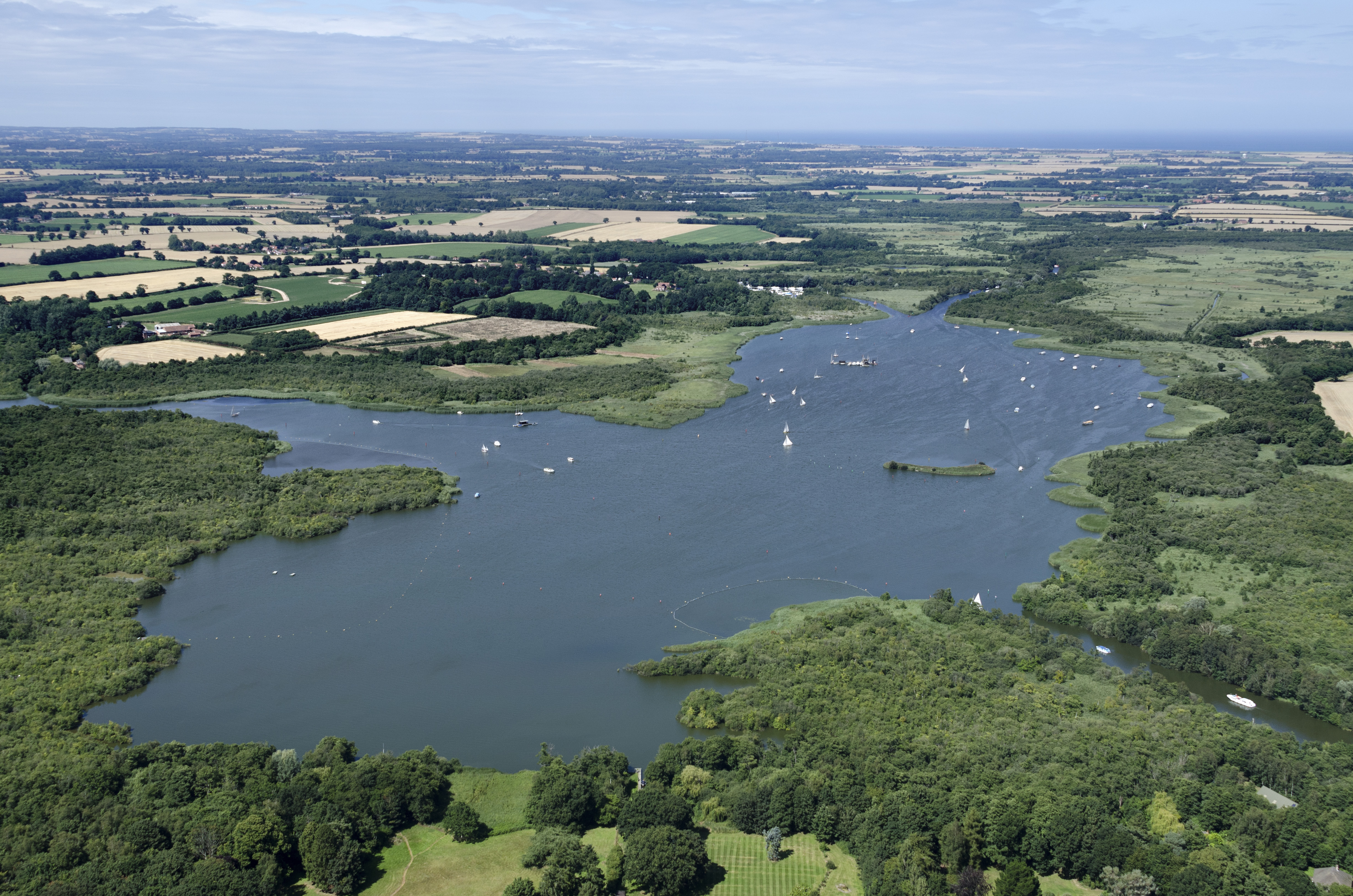
Falgate Carr is a small woodland area located in Norfolk, England. Situated near the village of Woodbastwick, it is a picturesque and tranquil spot that attracts nature lovers and outdoor enthusiasts. The name "Carr" refers to a type of wetland characterized by peat soil, and this feature is evident in Falgate Carr.

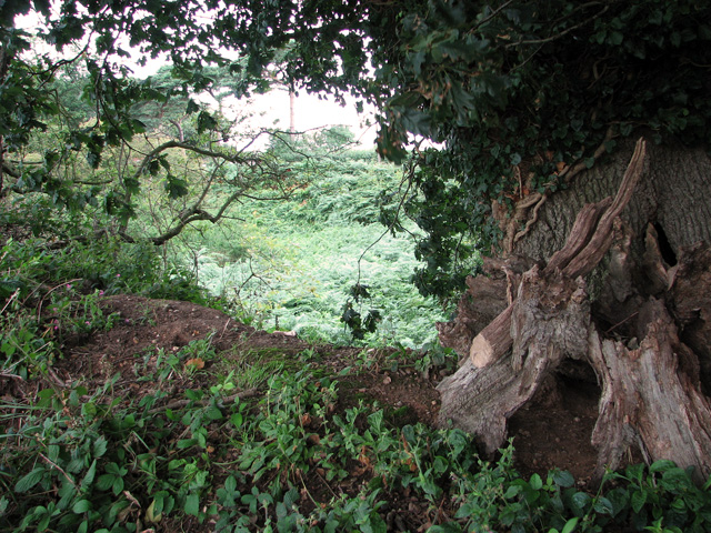
The woodland is predominantly composed of native broadleaf trees such as oak, ash, and birch. The dense foliage provides a rich habitat for a variety of flora and fauna, including wildflowers, ferns, and mosses. The area is particularly known for its vibrant bluebells that carpet the forest floor in the springtime.

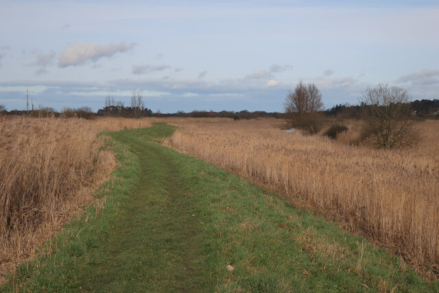
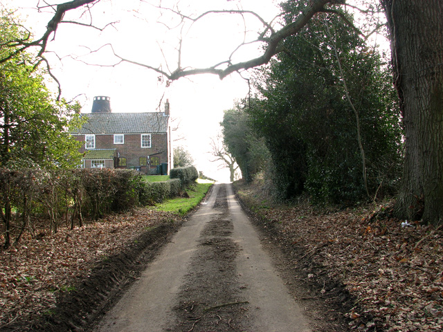
Falgate Carr is intersected by a network of winding paths and trails, allowing visitors to explore the woodland at their own pace. The paths are well-maintained and provide access to various viewpoints, offering glimpses of the surrounding countryside and nearby Broads.

The woodland is also home to a diverse range of wildlife. Birdwatchers can spot species such as woodpeckers, thrushes, and warblers, while small mammals like rabbits, squirrels, and hedgehogs can be seen scurrying through the undergrowth. With its peaceful atmosphere and abundant wildlife, Falgate Carr offers a serene escape from the hustle and bustle of everyday life.

Overall, Falgate Carr is a charming woodland retreat that showcases the natural beauty of Norfolk. Its lush vegetation, well-marked trails, and diverse wildlife make it an ideal destination for those seeking a peaceful and immersive experience in nature.

If you have any feedback on the listing, please let us know in the comments section below.
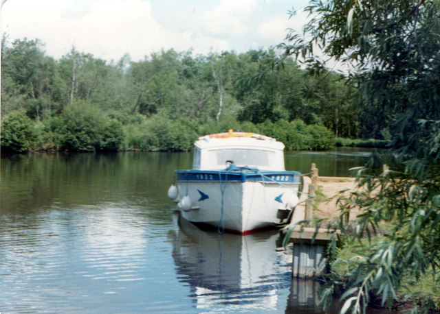
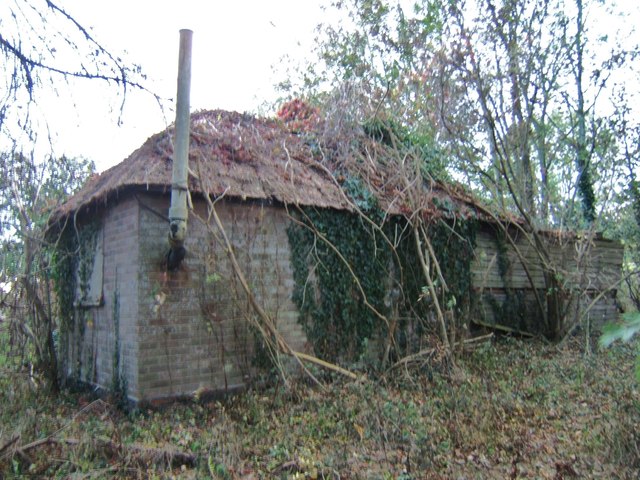
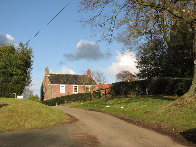
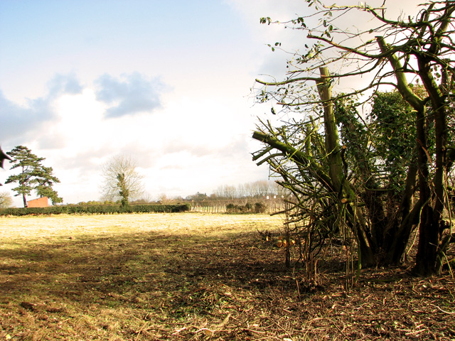
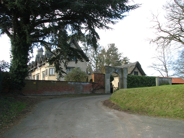
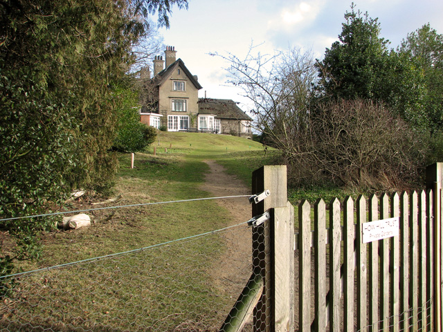
Falgate Carr Images

Images are sourced within 2km of 52.726381/1.4974589 or Grid Reference TG3620. Thanks to Geograph Open Source API. All images are credited.

Barton Broad - Gayes Staithe 1980
Car park for Barton Broad There is a boardwalk through the marshy area at the southern edge of Barton Broad, reached by a footpath across fields from the car park.
Car park for Barton Broad
There is a boardwalk through the marshy area at the southern edge of Barton Broad, reached by a footpath across fields from the car park.
Little house in the wood Derelict cottage near Barton Broad car park.
Little house in the wood
Derelict cottage near Barton Broad car park.
Path by River Ant Not quite the mapped route of the public footpath, but clearly the standard option.
Path by River Ant
Not quite the mapped route of the public footpath, but clearly the standard option.
How Hill Fen nature reserve
Disused pit, Neatishead
Ancient trees growing around the rim of a disused pit
Neatishead Lodge, Neatishead
Approaching the Mill House on How Hill Road How Hill tower mill can be seen peeking over the house's roof.
Approaching the Mill House on How Hill Road
How Hill tower mill can be seen peeking over the house's roof.
How Hill tower mill, Ludham The tarred red-brick mill tower is five storeys high. It was built in 1825 by William Sherwood Page and by 1971 it had been converted into a holiday home.
How Hill tower mill, Ludham
The tarred red-brick mill tower is five storeys high. It was built in 1825 by William Sherwood Page and by 1971 it had been converted into a holiday home.
The Mill House on How Hill, Ludham
Pasture north of How Hill Farm, Ludham
Entrance to How Hill House, Ludham In the early part of the 20th century the Norwich architect Edward Boardman designed and built a holiday home for the family at How Hill, at the western end of Ludham on the banks of the River Ant. It was completed in 1904. The house was enlarged in 1915 and the family moved there permanently.

How Hill House has since become one of the best known landmarks in the area and the How Hill estate, now managed by the Broads Authority, offers public access, a nature reserve and nature trail plus a museum at Toad Hole cottage.
Entrance to How Hill House, Ludham
In the early part of the 20th century the Norwich architect Edward Boardman designed and built a holiday home for the family at How Hill, at the western end of Ludham on the banks of the River Ant. It was completed in 1904. The house was enlarged in 1915 and the family moved there permanently. How Hill House has since become one of the best known landmarks in the area and the How Hill estate, now managed by the Broads Authority, offers public access, a nature reserve and nature trail plus a museum at Toad Hole cottage.
How Hill House, Ludham In the early part of the 20th century the Norwich architect Edward Boardman designed and built a holiday home for the family at How Hill, at the western end of Ludham on the banks of the River Ant. It was completed in 1904. The house was enlarged in 1915 and the family moved there permanently.

How Hill House has since become one of the best known landmarks in the area and the How Hill estate, now managed by the Broads Authority, offers public access, a nature reserve and nature trail plus a museum at Toad Hole cottage.
How Hill House, Ludham
In the early part of the 20th century the Norwich architect Edward Boardman designed and built a holiday home for the family at How Hill, at the western end of Ludham on the banks of the River Ant. It was completed in 1904. The house was enlarged in 1915 and the family moved there permanently. How Hill House has since become one of the best known landmarks in the area and the How Hill estate, now managed by the Broads Authority, offers public access, a nature reserve and nature trail plus a museum at Toad Hole cottage.
How Hill House, Ludham South facade of How Hill House. For a full view see > <a title="https://www.geograph.org.uk/photo/2812013" href="https://www.geograph.org.uk/photo/2812013">Link</a>. In the early part of the 20th century the Norwich architect Edward Boardman designed and built a holiday home for the family at How Hill, at the western end of Ludham on the banks of the River Ant. It was completed in 1904. The house was enlarged in 1915 and the family moved there permanently.

How Hill House has since become one of the best known landmarks in the area and the How Hill estate, now managed by the Broads Authority, offers public access, a nature reserve and nature trail plus a museum at Toad Hole cottage.
How Hill House, Ludham
South facade of How Hill House. For a full view see > Link. In the early part of the 20th century the Norwich architect Edward Boardman designed and built a holiday home for the family at How Hill, at the western end of Ludham on the banks of the River Ant. It was completed in 1904. The house was enlarged in 1915 and the family moved there permanently. How Hill House has since become one of the best known landmarks in the area and the How Hill estate, now managed by the Broads Authority, offers public access, a nature reserve and nature trail plus a museum at Toad Hole cottage.
Show me another place!

Falgate Carr is located at Grid Ref: TG3620 (Lat: 52.726381, Lng: 1.4974589)

Administrative County: Norfolk

District: North Norfolk

Police Authority: Norfolk

What 3 Words

///jiggle.enthused.caressing. Near Horning, Norfolk

Related Wikis

Irstead

Irstead is a village and former civil parish, now in the parish of Barton Turf, in the North Norfolk district, in the county of Norfolk, England. The village...

Clayrack Drainage Mill

Clayrack Drainage Windmill is located at How Hill in the English county of Norfolk. It is on the east bank of the River Ant close to How Hill, a large...
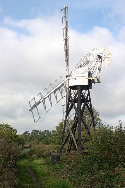
Boardman's Windmill

Boardman's Drainage Windmill is located at How Hill in the English county of Norfolk It is on the east bank of the River Ant close to the large Edwardian...

Alderfen Broad

Alderfen Broad is a 21.3-hectare (53-acre) biological Site of Special Scientific Interest north-east of Norwich in Norfolk. It is managed by the Norfolk...

How Hill

How Hill is a hamlet on the River Ant within The Broads National Park in Ludham parish, Norfolk, England. How Hill House, completed in 1903, was designed...

Crome's Broad

Crome's Broad is situated to the east of the River Ant, north of How Hill, within The Broads National Park in Norfolk, England. It is named after John...
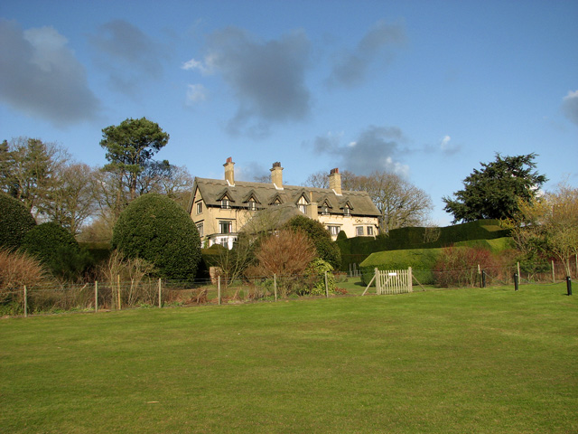
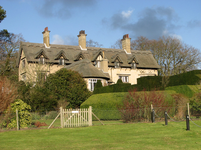
How Hill House

How Hill House is a large Edwardian house in How Hill, an area of Ludham parish, Norfolk, England. The house overlooks the River Ant and is within the...

Barton Broad

Barton Broad is a large lake that forms part of the River Ant which gives its name to a 164-hectare (410-acre) nature reserve north-east of Norwich in...

Nearby Amenities

Located within 500m of 52.726381,1.4974589
Post Box
Operator: Royal Mail
Post Box Type: wall
Lat/Long: 52.7290425/1.49612
Passing Place
Lat/Long: 52.7283625/1.4914243
Give Way
Lat/Long: 52.7284422/1.4939842
Bench
Backrest: yes
Material: wood
Lat/Long: 52.7299319/1.5016226
Entrance: main
Lat/Long: 52.7299667/1.5018352
Power: pole
Lat/Long: 52.7245483/1.4914638
Power: pole
Lat/Long: 52.7256269/1.4919117
Power: pole
Lat/Long: 52.7266747/1.4924026
Power: pole
Lat/Long: 52.7299932/1.4937812
Power: pole
Lat/Long: 52.7294101/1.4957982
Power: pole
Transformer: distribution
Lat/Long: 52.7293703/1.4958143
Give Way
Lat/Long: 52.7288869/1.4963201
Power: pole
Lat/Long: 52.7278101/1.4938724
Power: pole
Lat/Long: 52.7286726/1.4949372
Give Way
Lat/Long: 52.7283692/1.493914
Give Way
Lat/Long: 52.7284172/1.4938087
The data included in this document is from www.openstreetmap.org. The data is made available under ODbL.

Have you been to Falgate Carr?

Leave your review of Falgate Carr below (or comments, questions and feedback).