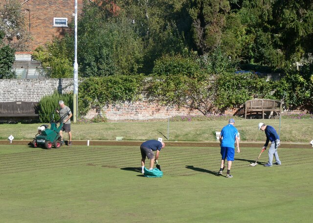
Bowling Green Reach
Sea, Estuary, Creek in Kent Dover
England
Bowling Green Reach

Bowling Green Reach is a picturesque waterway located in Kent, England. It is a unique combination of sea, estuary, and creek, making it a diverse and fascinating area for nature enthusiasts.
Situated on the eastern coast of Kent, Bowling Green Reach is primarily formed by the convergence of the River Stour and the North Sea. The river widens as it approaches the coast, creating an estuary that provides a vital habitat for a wide range of plant and animal species. The estuary is known for its rich biodiversity, including various types of fish, birds, and marine mammals.
As the estuary meets the sea, the landscape transforms into a beautiful sandy beach with stunning views of the North Sea. The beach is a popular spot for locals and tourists alike, offering opportunities for sunbathing, swimming, and beachcombing.
In addition to the sea and estuary, Bowling Green Reach is also home to a tranquil creek that meanders through the surrounding marshes and wetlands. This creek acts as a natural drainage channel, providing an important habitat for wetland plants and wildlife. Visitors can explore the creek by boat or kayak, immersing themselves in the peaceful and serene environment while observing the diverse flora and fauna.
Overall, Bowling Green Reach is a remarkable natural area that seamlessly combines the sea, estuary, and creek. Its unique ecosystem supports a wide range of species, making it an ideal destination for nature lovers and those seeking a peaceful retreat in the heart of Kent.
If you have any feedback on the listing, please let us know in the comments section below.
Bowling Green Reach Images
Images are sourced within 2km of 51.280049/1.3544781 or Grid Reference TR3458. Thanks to Geograph Open Source API. All images are credited.


Bowling Green Reach is located at Grid Ref: TR3458 (Lat: 51.280049, Lng: 1.3544781)
Administrative County: Kent
District: Dover
Police Authority: Kent
What 3 Words
///thickened.slopes.blubber. Near Sandwich, Kent
Nearby Locations
Related Wikis

The Salutation, Sandwich
The Salutation is a grade I listed house in Sandwich, Kent, England. It was designed and built by Edwin Lutyens in a Queen Anne style in 1911–12, as a...
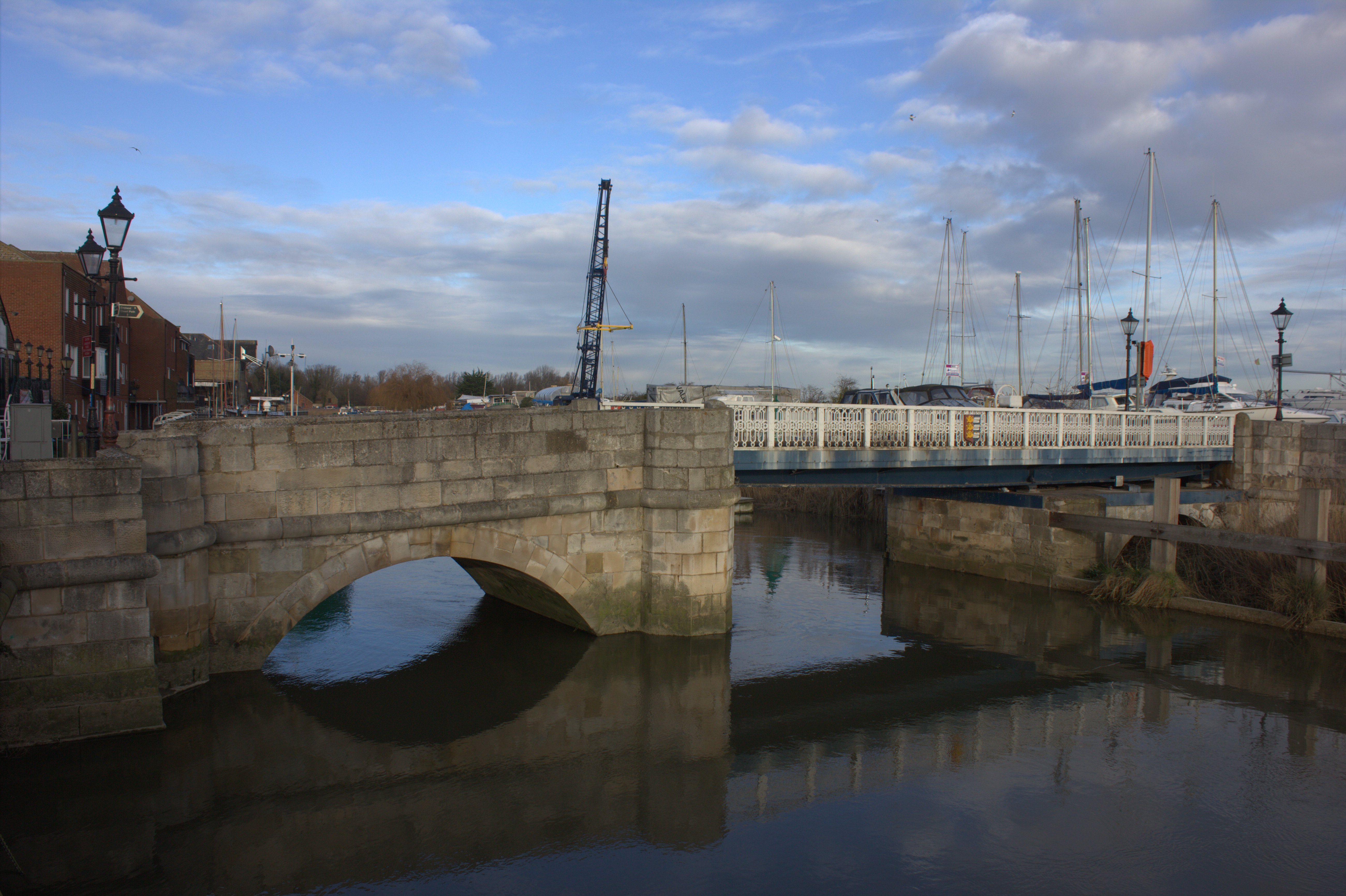
Sandwich Toll Bridge
Sandwich Toll Bridge is a Grade II listed road swing bridge over the River Stour in Sandwich, Kent. It opened in 1755 on a site that had been a crossing...

1934 Open Championship
The 1934 Open Championship was the 69th Open Championship, held 27–29 June at Royal St George's Golf Club in Sandwich, England. Henry Cotton dominated...

1993 Open Championship
The 1993 Open Championship was a men's major golf championship and the 122nd Open Championship, held from 15–18 July at Royal St George's Golf Club in...
Nearby Amenities
Located within 500m of 51.280049,1.3544781Have you been to Bowling Green Reach?
Leave your review of Bowling Green Reach below (or comments, questions and feedback).