Irton
Settlement in Cumberland Copeland
England
Irton

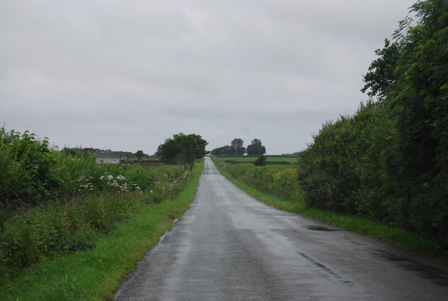
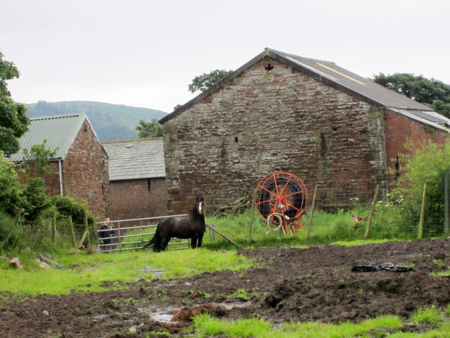
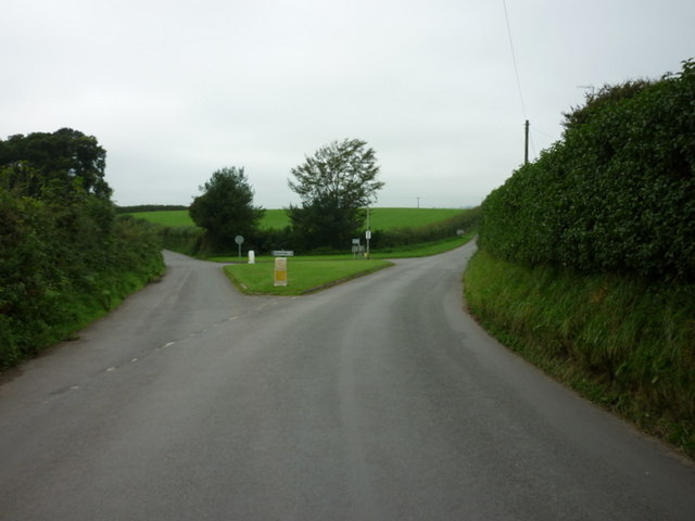
Irton is a small village located in the county of Cumberland, in the northwest region of England. Situated in the picturesque Lake District National Park, Irton is nestled between the towns of Gosforth and Santon Bridge. The village is characterized by its rural charm, with rolling hills, lush green fields, and a peaceful atmosphere.
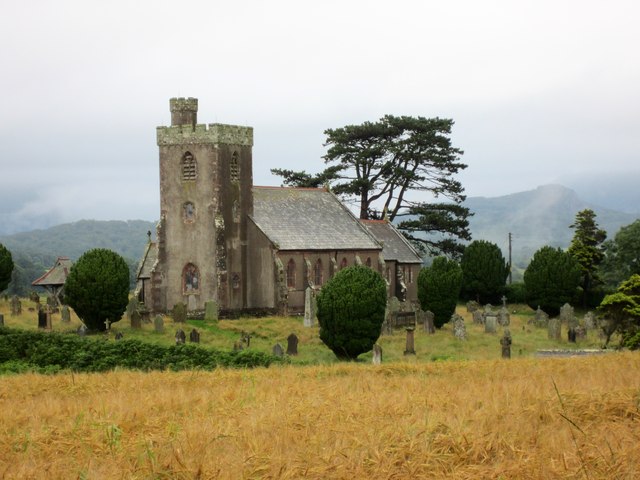
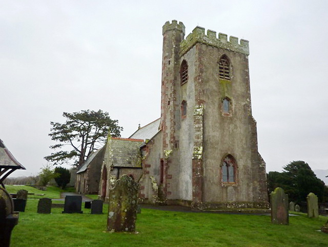
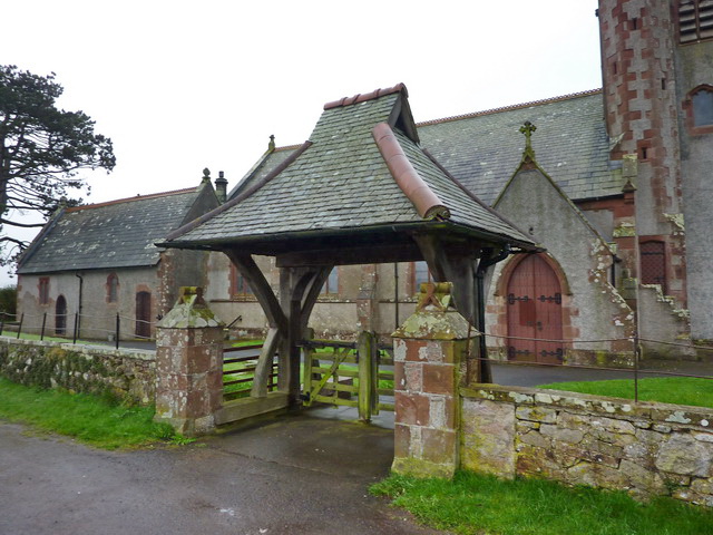
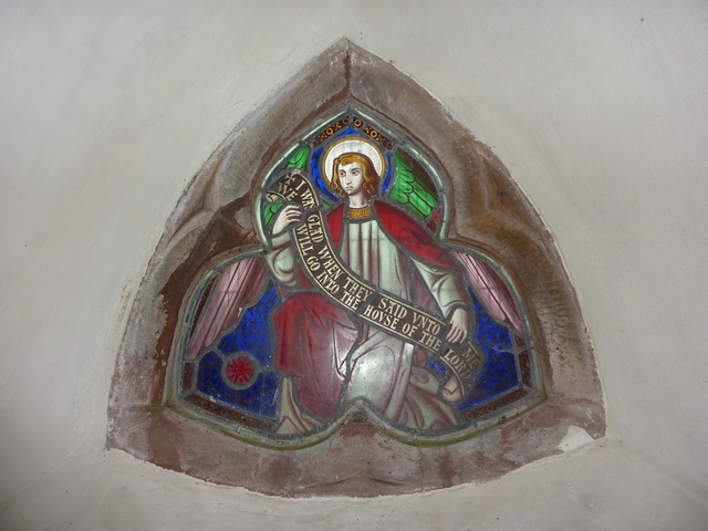
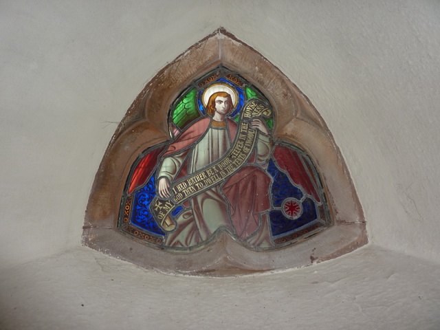
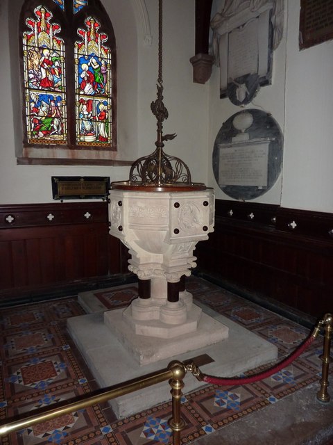
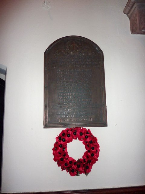
With a population of around 500 residents, Irton is a close-knit community that prides itself on its strong sense of community spirit. The village is centered around its charming church, St. Paul's, which dates back to the 12th century and is a prominent landmark in the area.
Despite its small size, Irton offers a range of amenities to its residents and visitors. There is a local pub, The Brook House Inn, which serves traditional English cuisine and offers a cozy atmosphere for socializing. The village also has a primary school, providing education for the local children.
The surrounding natural beauty of Irton makes it an ideal location for outdoor enthusiasts. There are ample opportunities for hiking, cycling, and walking, with numerous scenic trails and paths in the vicinity. The nearby Wastwater Lake, England's deepest lake, is a popular spot for fishing and boating.
Overall, Irton is a charming village that offers a peaceful retreat for those seeking to escape the hustle and bustle of city life. With its stunning natural surroundings and strong community spirit, it is a hidden gem within the Lake District.
If you have any feedback on the listing, please let us know in the comments section below.
Irton Images
Images are sourced within 2km of 54.39182/-3.3783544 or Grid Reference NY1000. Thanks to Geograph Open Source API. All images are credited.


Irton is located at Grid Ref: NY1000 (Lat: 54.39182, Lng: -3.3783544)
Administrative County: Cumbria
District: Copeland
Police Authority: Cumbria
What 3 Words
///rural.then.arts. Near Seascale, Cumbria
Nearby Locations
Related Wikis

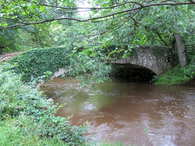
Santon Bridge
Santon Bridge is a small village in Copeland, Cumbria, England, at a bridge over the River Irt. The civil parish is called Irton with Santon. The population...
Irton with Santon
Irton with Santon is a civil parish in Copeland, Cumbria, England, which includes the village of Santon Bridge. It has a parish council. It had a population...

St Paul, Irton
St Paul, Irton is an active parish church in the civil parish of Irton with Santon, Cumbria, England. It is in the Calder Deanery of the Anglican diocese...

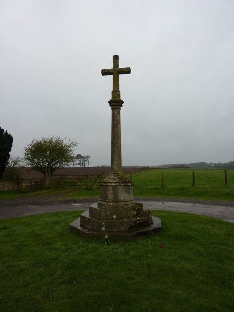
Irton Cross
Irton Cross is an Anglo-Saxon cross in the graveyard of St Paul's Church, in the parish of Irton with Santon, Cumbria, England. Dating from the early...

Murthwaite Halt railway station
Murthwaite Halt railway station is a small intermediate railway station on the 15" gauge Ravenglass & Eskdale Railway in Cumbria, England. It is named...

Irton Pike
Irton Pike is a hill in the west of the English Lake District, near Santon Bridge, Cumbria. It is the subject of a chapter of Alfred Wainwright's book...

Miteside Halt railway station
Miteside Halt railway station is a railway station on the 15" gauge Ravenglass & Eskdale Railway in Cumbria, England. It is located where public footpath...

Muncaster Fell
Muncaster Fell is a fell at the far western edge of the Lake District National Park, in Cumbria, England. Muncaster Fell is a long, narrow ridge of land...
Nearby Amenities
Located within 500m of 54.39182,-3.3783544Have you been to Irton?
Leave your review of Irton below (or comments, questions and feedback).