Holm Wood
Wood, Forest in Cumberland Copeland
England
Holm Wood

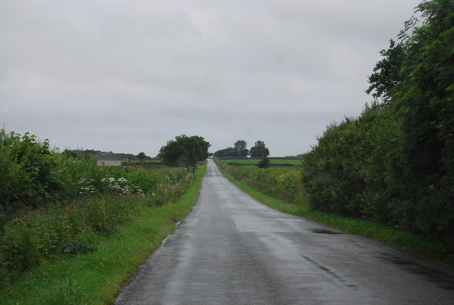
Holm Wood, located in Cumberland, is a picturesque forest known for its natural beauty and diverse flora and fauna. Covering an area of approximately 500 acres, it is a popular destination for nature enthusiasts and outdoor adventurers alike.
The woodland is predominantly made up of mature oak and beech trees, which provide a dense canopy that filters the sunlight and creates a serene and tranquil atmosphere. The forest floor is covered in a thick carpet of mosses, ferns, and wildflowers, adding to its enchanting appeal.
Holm Wood is home to a wide variety of wildlife species, including deer, foxes, badgers, and numerous bird species. Birdwatchers can spot species such as woodpeckers, owls, and a variety of songbirds in the area. The forest's diverse ecosystem also supports a rich insect population, making it an ideal location for insect enthusiasts and researchers.
The wood is crisscrossed by a network of well-maintained walking trails, allowing visitors to explore its beauty at their own pace. These trails meander through the forest, taking visitors past babbling brooks, small ponds, and open glades where they can pause and enjoy the natural surroundings.
Holm Wood is open throughout the year, offering different experiences in each season. In spring, the forest bursts into life with vibrant blossoms and the songs of migratory birds. During summer, the dense foliage provides shade and a cool respite from the heat. Autumn paints the forest in a kaleidoscope of colors as the leaves change, while winter transforms the wood into a peaceful and almost mystical landscape.
Overall, Holm Wood is a captivating destination that showcases the beauty and diversity of Cumberland's natural landscape.
If you have any feedback on the listing, please let us know in the comments section below.
Holm Wood Images
Images are sourced within 2km of 54.394486/-3.3857446 or Grid Reference NY1000. Thanks to Geograph Open Source API. All images are credited.


Holm Wood is located at Grid Ref: NY1000 (Lat: 54.394486, Lng: -3.3857446)
Administrative County: Cumbria
District: Copeland
Police Authority: Cumbria
What 3 Words
///riot.churn.reliving. Near Seascale, Cumbria
Nearby Locations
Related Wikis

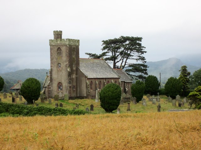
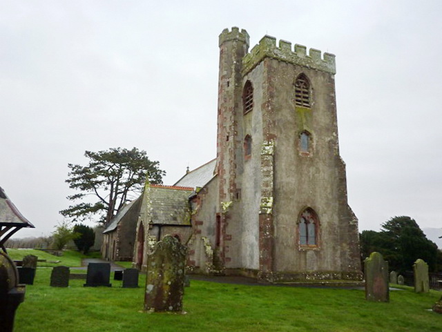
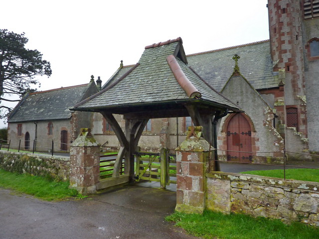
St Paul, Irton
St Paul, Irton is an active parish church in the civil parish of Irton with Santon, Cumbria, England. It is in the Calder Deanery of the Anglican diocese...

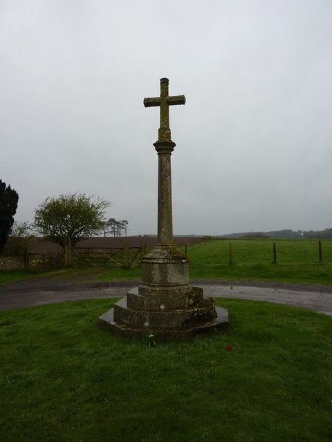
Irton Cross
Irton Cross is an Anglo-Saxon cross in the graveyard of St Paul's Church, in the parish of Irton with Santon, Cumbria, England. Dating from the early...

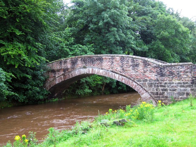
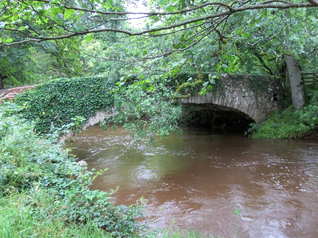
Santon Bridge
Santon Bridge is a small village in Copeland, Cumbria, England, at a bridge over the River Irt. The civil parish is called Irton with Santon. The population...
Irton with Santon
Irton with Santon is a civil parish in Copeland, Cumbria, England, which includes the village of Santon Bridge. It has a parish council. It had a population...

Irton Pike
Irton Pike is a hill in the west of the English Lake District, near Santon Bridge, Cumbria. It is the subject of a chapter of Alfred Wainwright's book...

Murthwaite Halt railway station
Murthwaite Halt railway station is a small intermediate railway station on the 15" gauge Ravenglass & Eskdale Railway in Cumbria, England. It is named...

River Bleng
The River Bleng is a tributary of the River Irt in the county of Cumbria in northern England.The river gives its name to the valley that it flows through...

Holmrook
Holmrook is a linear village in the English county of Cumbria. It lies along the A595 road on the west banks of the River Irt. The B5344 road connects...
Nearby Amenities
Located within 500m of 54.394486,-3.3857446Have you been to Holm Wood?
Leave your review of Holm Wood below (or comments, questions and feedback).