Great Wood

Wood, Forest in Cumberland Copeland

England

Great Wood

Derelict farm building
Derelict farm building Credit: P Gaskell

Great Wood is a vast and enchanting forest located in the county of Cumberland, England. Spanning over thousands of acres, it is often referred to as one of the most beautiful and diverse woodlands in the region. The forest is situated near the picturesque town of Keswick, offering visitors a tranquil and serene setting to explore.

Great Wood is predominantly composed of native broadleaf trees, including oak, beech, and ash, which create a stunning canopy that provides shade and a sense of tranquility. The forest is intersected by several walking trails, allowing visitors to immerse themselves in its natural beauty while discovering its hidden treasures.

One of the main attractions of Great Wood is its rich wildlife. The forest is home to a diverse range of animals, including deer, badgers, foxes, and a multitude of bird species. Birdwatchers flock to the area to catch glimpses of rare species such as the pied flycatcher and redstart. In the spring, the forest floor is adorned with a vibrant carpet of bluebells, creating a breathtaking sight that attracts photographers and nature enthusiasts from far and wide.

Great Wood offers various recreational activities for visitors. Hiking, mountain biking, and horse riding are popular ways to explore the forest's extensive trail network. Additionally, there are designated picnic areas and camping sites for those who wish to spend more time amidst the peaceful ambiance of the woodland.

Overall, Great Wood in Cumberland is a natural haven that offers a diverse range of flora and fauna, making it a must-visit destination for nature lovers and outdoor enthusiasts alike.

If you have any feedback on the listing, please let us know in the comments section below.
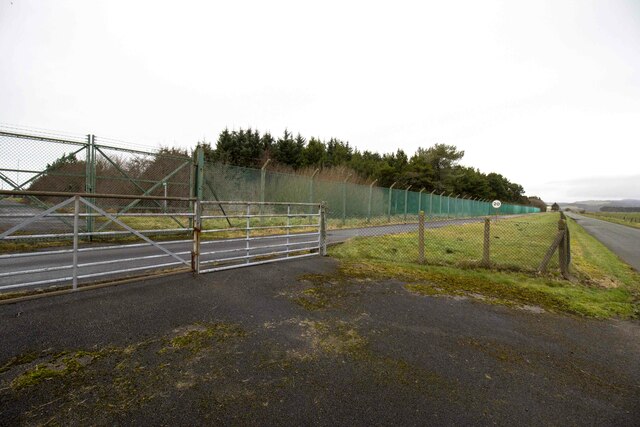
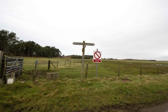
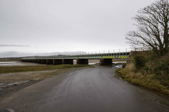
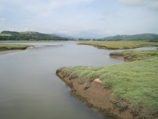
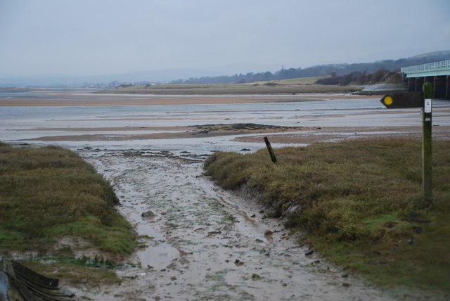
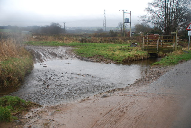
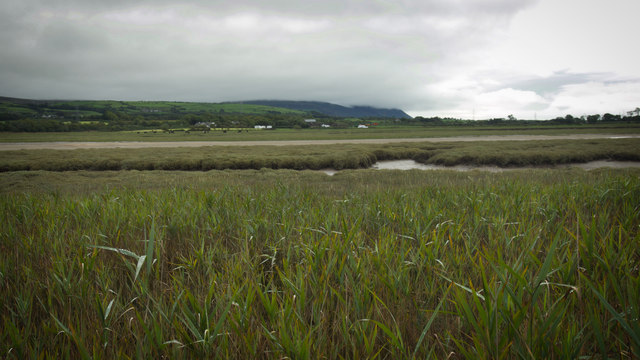
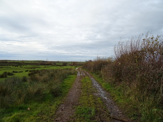
Great Wood Images

Images are sourced within 2km of 54.323607/-3.3834065 or Grid Reference SD1092. Thanks to Geograph Open Source API. All images are credited.

Derelict farm building
MOD Firing Range Entrance to MOD firing range
MOD Firing Range
Entrance to MOD firing range
England Coast Path England Coast Path at Eskmeals MOD firing range.
England Coast Path
England Coast Path at Eskmeals MOD firing range.
Eskmeals viaduct
Eskmeals viaduct
River Esk and salt marsh
Newbiggin Tidal Crossing The tidal ford at Newbiggin.
Newbiggin Tidal Crossing
The tidal ford at Newbiggin.
Ford at Waberthwaite This farm ford on the Whitrow Beck is found at Waberthwaite near Newbiggin.
Ford at Waberthwaite
This farm ford on the Whitrow Beck is found at Waberthwaite near Newbiggin.
Unknown benchmark stud - Eskmeals viaduct A brass or copper stud fixed into the stonework of one of the viaduct piers, possibly used as part of a scheme to monitor water and flood levels. Its origins aren't entirely clear - although the size and shape of this one closely matches those installed by the Environment Agency, such items generally have the letters EABM embossed upon them. And this one's blank, so I'm recording it as 'unknown origin' for the moment.
Unknown benchmark stud - Eskmeals viaduct
A brass or copper stud fixed into the stonework of one of the viaduct piers, possibly used as part of a scheme to monitor water and flood levels. Its origins aren't entirely clear - although the size and shape of this one closely matches those installed by the Environment Agency, such items generally have the letters EABM embossed upon them. And this one's blank, so I'm recording it as 'unknown origin' for the moment.
Driving through floods at site of Eskmeals station, 1966 View westwards at the mouth of the River Esk on the Cumbrian Coast, with my wife driving our Morris 1800 through the water. The railway is the Cumbrian Coast Line, ex-Furness Railway Carnforth - Barrow-in-Furness (to left) - (to right) Sellafield - Whitehaven; Eskmeals station had been right here, but was closed 3/8/59.
Driving through floods at site of Eskmeals station, 1966
View westwards at the mouth of the River Esk on the Cumbrian Coast, with my wife driving our Morris 1800 through the water. The railway is the Cumbrian Coast Line, ex-Furness Railway Carnforth - Barrow-in-Furness (to left) - (to right) Sellafield - Whitehaven; Eskmeals station had been right here, but was closed 3/8/59.
River Esk The river Esk at low tide from Eskmeals viaduct
River Esk
The river Esk at low tide from Eskmeals viaduct
Newbiggin from across the Esk estuary
Rough grazing near Swallowhurst Hall
Farm track off the A595 Near Swallowhurst Hall.
Farm track off the A595
Near Swallowhurst Hall.
Track (footpath) to Middleton Place Off the A595.
Track (footpath) to Middleton Place
Off the A595.
Monk Moors View east towards Corney Fell.
Monk Moors
View east towards Corney Fell.
The Esk Estuary near Newbiggin The Esk Estuary near Newbiggin as seen from close to the railway bridge on a still autumn morning.
The Esk Estuary near Newbiggin
The Esk Estuary near Newbiggin as seen from close to the railway bridge on a still autumn morning.
River Esk and Salt Marsh The Esk Railway Viaduct is in the distance.
River Esk and Salt Marsh
The Esk Railway Viaduct is in the distance.
On the Range The welcome signs are rather necessary; over 3km of the coastal strip here is an MoD live firing range.
On the Range
The welcome signs are rather necessary; over 3km of the coastal strip here is an MoD live firing range.
Show me another place!

Great Wood is located at Grid Ref: SD1092 (Lat: 54.323607, Lng: -3.3834065)

Administrative County: Cumbria

District: Copeland

Police Authority: Cumbria

What 3 Words

///airports.pastels.mixing. Near Seascale, Cumbria

Related Wikis

Waberthwaite

Waberthwaite is a small, former rural civil parish (about 4 square miles in area) on the south bank of the estuary of the River Esk, in Copeland, Cumbria...

Eskmeals railway station

Eskmeals is a former railway station in the Eskmeals area of the Cumbrian coast, England. It was located on the Cumbrian Coast Line, south of Ravenglass...

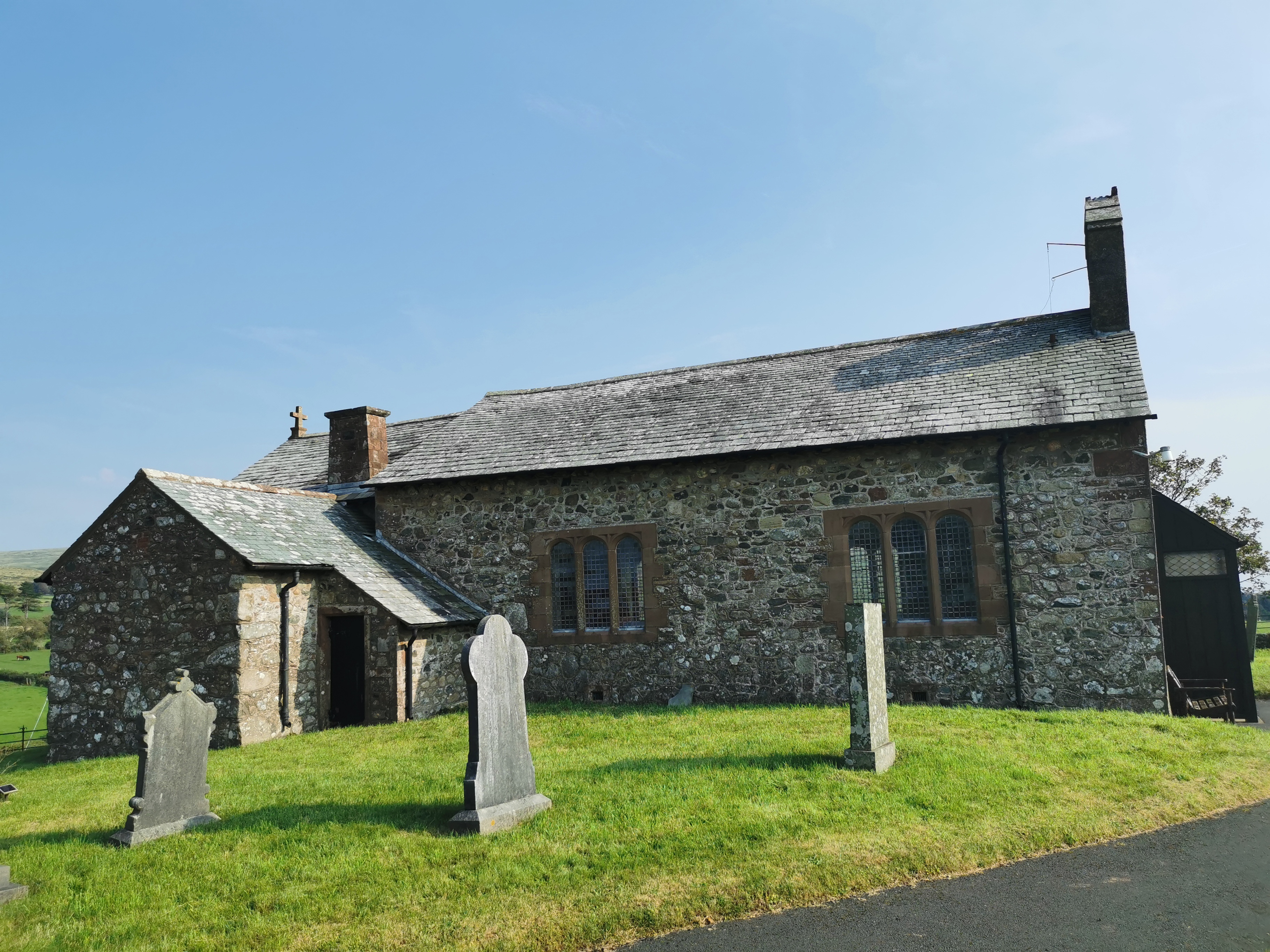
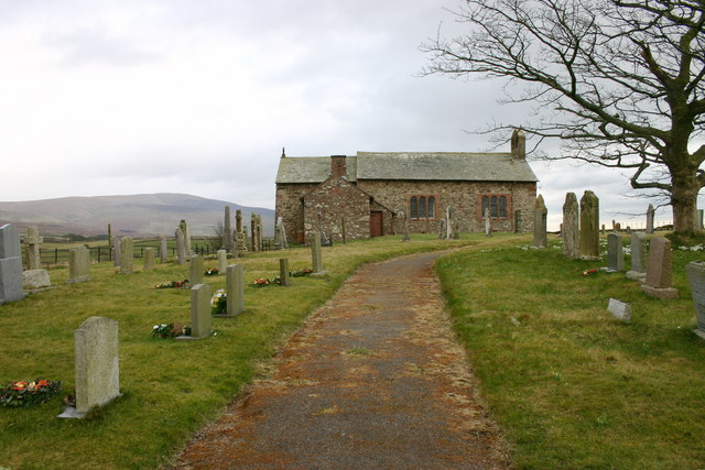
St John the Baptist, Corney

St John the Baptist, is in Corney, Cumbria, England. It is an Anglican parish church in the deanery of Calder, and the diocese of Carlisle. Its benefice...

Broad Oak, Cumbria

Broad Oak is a hamlet in Cumbria, England. It is located along the A595 road, 14.4 miles (23.2 km) by road south of Egremont. == See also == List of places...

St John's Church, Waberthwaite

St John's Church is situated on the south bank of the River Esk in the hamlet of Hall Waberthwaite in the former civil parish of Waberthwaite (now part...

Stubb Place

Stubb Place is a small settlement in western Cumbria, England. Known by locals in Waberthwaite as marshside, due to the name of the nearby cottages. It...
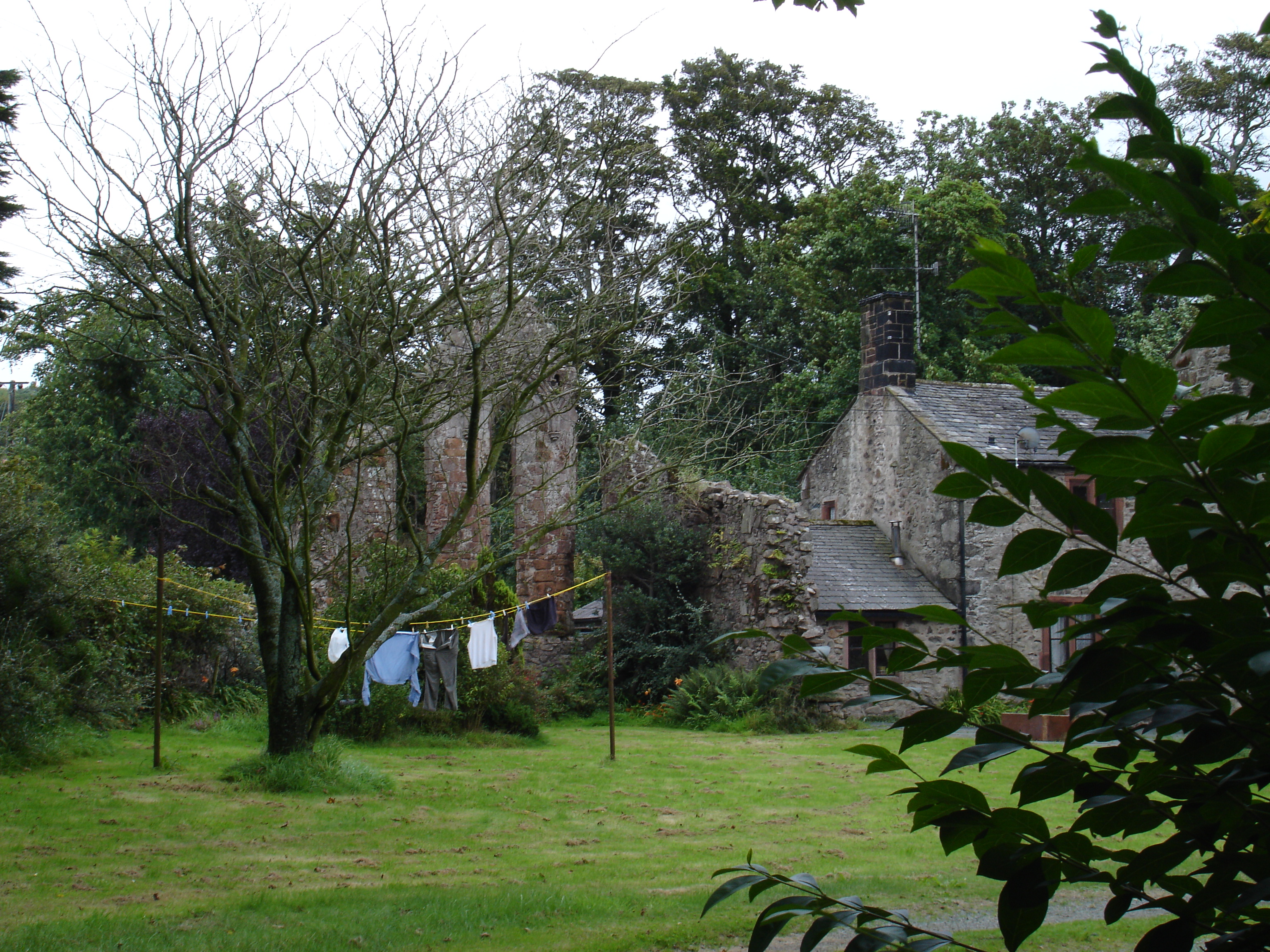
Seaton Priory

Originally called the nunnery of Lekeley from the name of the land it was built upon, the former nunnery of Seaton is to the north of the parish of Bootle...

Corney

Corney is a village and former civil parish, now in the parish of Waberthwaite, in the Cumberland district, in the ceremonial county of Cumbria, England...

Nearby Amenities

Located within 500m of 54.323607,-3.3834065
Parking
Access: yes
Fee: no
Parking: lane
Surface: asphalt
Lat/Long: 54.3230348/-3.3762761
Please Take Your Littler Home
Tourism: information
Lat/Long: 54.3229499/-3.3763625
Power: pole
Lat/Long: 54.3251189/-3.3904381
Power: pole
Lat/Long: 54.3255252/-3.3890589
Power: pole
Lat/Long: 54.325953/-3.3876657
Power: pole
Lat/Long: 54.3263264/-3.3864009
Power: pole
Lat/Long: 54.3267009/-3.3851959
Power: pole
Lat/Long: 54.3272846/-3.3843937
Power: pole
Lat/Long: 54.3279832/-3.3834173
Power: pole
Lat/Long: 54.3261654/-3.3839328
Power: pole
Lat/Long: 54.3256688/-3.3827225
Power: pole
Lat/Long: 54.3251107/-3.381375
Power: pole
Lat/Long: 54.3245925/-3.380126
Power: pole
Lat/Long: 54.3241166/-3.378979
Power: pole
Lat/Long: 54.3235164/-3.377526
Power: pole
Lat/Long: 54.3229573/-3.3761714
Power: pole
Lat/Long: 54.3248645/-3.3785797
Power: pole
Lat/Long: 54.3251785/-3.3767695
Power: pole
Lat/Long: 54.3278847/-3.3822721
Power: pole
Lat/Long: 54.3278242/-3.3816072
The data included in this document is from www.openstreetmap.org. The data is made available under ODbL.

Have you been to Great Wood?

Leave your review of Great Wood below (or comments, questions and feedback).