Borrowdale Wood
Wood, Forest in Cumberland Copeland
England
Borrowdale Wood

Borrowdale Wood, located in the county of Cumberland in northwest England, is a picturesque forest that encompasses an area of approximately 5,000 acres. This ancient woodland is part of the Lake District National Park, renowned for its outstanding natural beauty and diverse ecosystem.
Borrowdale Wood is characterized by its dense canopy of broadleaf trees, dominated by oak, ash, and birch species. The woodland floor is adorned with an array of colorful wildflowers, such as bluebells, primroses, and wood anemones, creating a breathtaking sight during the spring months. The forest is also home to a variety of wildlife, including deer, badgers, foxes, and a plethora of bird species, making it a haven for nature enthusiasts and birdwatchers.
The wood is crisscrossed by several walking trails, allowing visitors to explore its enchanting surroundings and discover its hidden gems. One of the most popular trails is the Borrowdale Woodland Walk, a circular route that winds its way through the forest, offering stunning views of the nearby Derwentwater and surrounding fells.
Borrowdale Wood has a rich history, with evidence of human presence dating back thousands of years. There are remnants of old charcoal pits and stone circles, providing a glimpse into the past and the significance of the woodland to previous generations.
Overall, Borrowdale Wood is a captivating destination for those seeking tranquility, natural beauty, and a chance to immerse themselves in the rich biodiversity of the Lake District National Park.
If you have any feedback on the listing, please let us know in the comments section below.
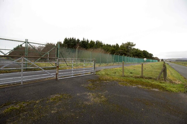
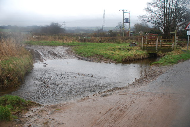
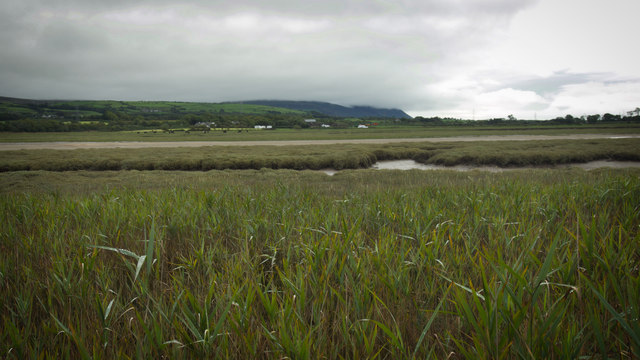
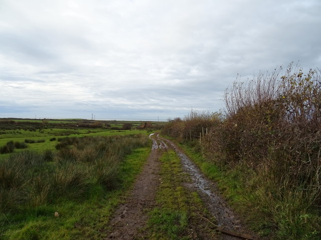
Borrowdale Wood Images
Images are sourced within 2km of 54.319058/-3.3803635 or Grid Reference SD1092. Thanks to Geograph Open Source API. All images are credited.


Borrowdale Wood is located at Grid Ref: SD1092 (Lat: 54.319058, Lng: -3.3803635)
Administrative County: Cumbria
District: Copeland
Police Authority: Cumbria
What 3 Words
///slyly.moderated.starting. Near Seascale, Cumbria
Nearby Locations
Related Wikis
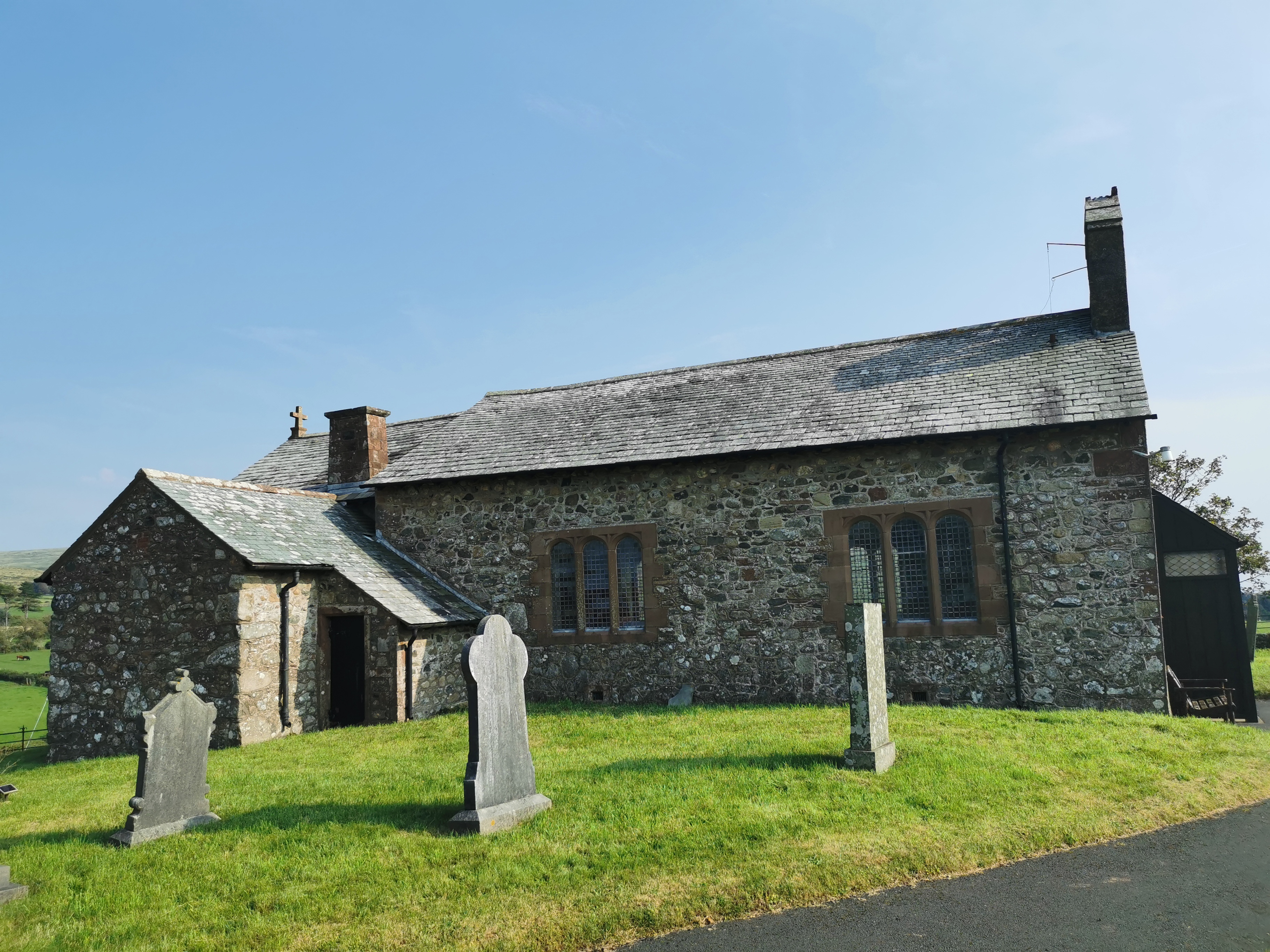
St John the Baptist, Corney
St John the Baptist, is in Corney, Cumbria, England. It is an Anglican parish church in the deanery of Calder, and the diocese of Carlisle. Its benefice...

Waberthwaite
Waberthwaite is a small, former rural civil parish (about 4 square miles in area) on the south bank of the estuary of the River Esk, in Copeland, Cumbria...

Broad Oak, Cumbria
Broad Oak is a hamlet in Cumbria, England. It is located along the A595 road, 14.4 miles (23.2 km) by road south of Egremont. == See also == List of places...

Eskmeals railway station
Eskmeals is a former railway station in the Eskmeals area of the Cumbrian coast, England. It was located on the Cumbrian Coast Line, south of Ravenglass...
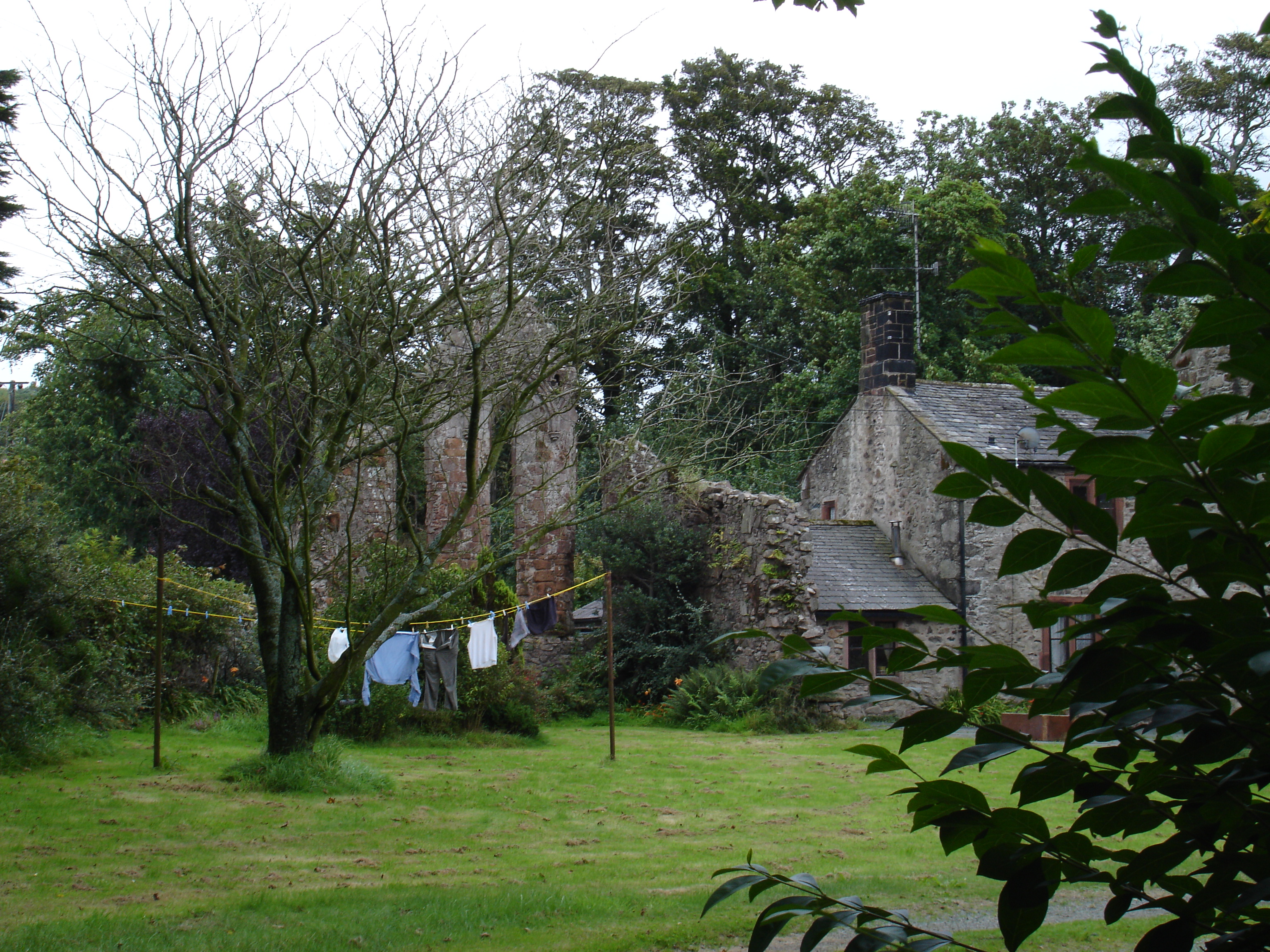
Seaton Priory
Originally called the nunnery of Lekeley from the name of the land it was built upon, the former nunnery of Seaton is to the north of the parish of Bootle...
Corney
Corney is a village and former civil parish, now in the parish of Waberthwaite, in the Cumberland district, in the ceremonial county of Cumbria, England...
Stubb Place
Stubb Place is a small settlement in western Cumbria, England. Known by locals in Waberthwaite as marshside, due to the name of the nearby cottages. It...

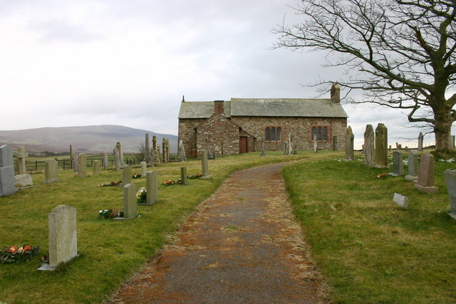
St John's Church, Waberthwaite
St John's Church is situated on the south bank of the River Esk in the hamlet of Hall Waberthwaite in the former civil parish of Waberthwaite (now part...
Have you been to Borrowdale Wood?
Leave your review of Borrowdale Wood below (or comments, questions and feedback).