Smithy Wood

Wood, Forest in Cumberland Copeland

England

Smithy Wood

Derelict farm building
Derelict farm building Credit: P Gaskell

Smithy Wood, located in Cumberland, is a picturesque forest that covers an area of approximately 300 acres. It is known for its rich biodiversity and serves as an important habitat for various species of flora and fauna. The wood is situated in a rural setting, surrounded by rolling hills and scenic landscapes.

The forest comprises primarily of deciduous trees, including oak, beech, and birch. These majestic trees create a dense canopy, providing shade and shelter for the diverse range of wildlife that calls Smithy Wood home. The forest floor is carpeted with a vibrant array of wildflowers and ferns, adding to the beauty of the woodland.

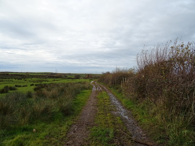
Several walking trails wind through the wood, allowing visitors to explore and appreciate its natural wonders. These paths vary in length and difficulty, catering to both casual strollers and avid hikers. Along the way, benches and picnic areas are strategically placed, offering visitors a chance to rest and soak in the tranquil atmosphere.

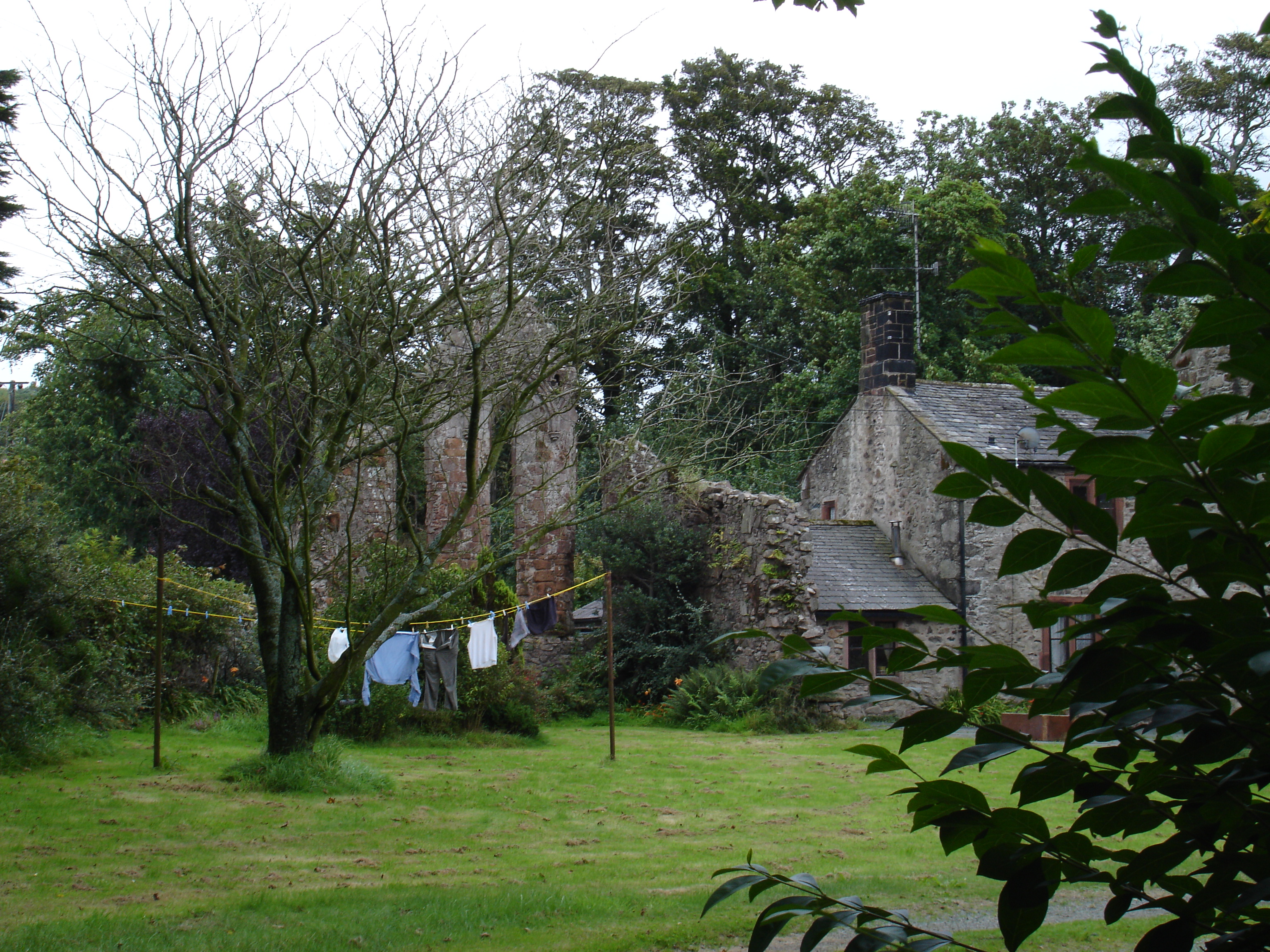
Smithy Wood also holds historical significance, with remnants of an old smithy found within its boundaries. This historic forge, dating back to the 19th century, was once a hub of activity for blacksmiths and played a crucial role in the local community.

The wood is managed by a dedicated team of conservationists who work tirelessly to preserve its natural beauty and protect its delicate ecosystem. They organize regular educational programs and guided tours, promoting awareness about the importance of biodiversity conservation and sustainable practices.

Overall, Smithy Wood is a cherished natural treasure in Cumberland, offering visitors a chance to connect with nature, learn about local history, and experience the serenity of a truly remarkable forest.

If you have any feedback on the listing, please let us know in the comments section below.
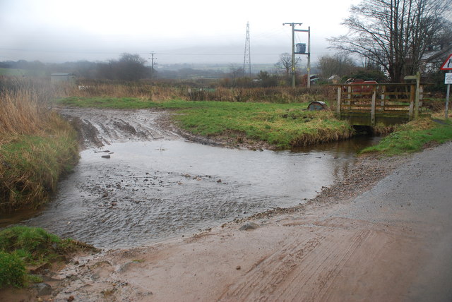
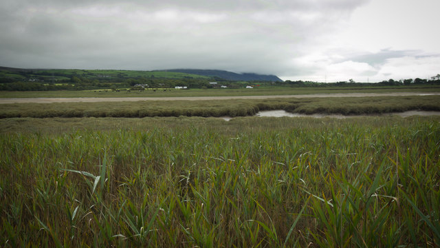
Smithy Wood Images

Images are sourced within 2km of 54.32376/-3.3786912 or Grid Reference SD1092. Thanks to Geograph Open Source API. All images are credited.

Derelict farm building
River Esk and salt marsh
Ford at Waberthwaite This farm ford on the Whitrow Beck is found at Waberthwaite near Newbiggin.
Ford at Waberthwaite
This farm ford on the Whitrow Beck is found at Waberthwaite near Newbiggin.
Newbiggin from across the Esk estuary
Rough grazing near Swallowhurst Hall
Farm track off the A595 Near Swallowhurst Hall.
Farm track off the A595
Near Swallowhurst Hall.
Track (footpath) to Middleton Place Off the A595.
Track (footpath) to Middleton Place
Off the A595.
Monk Moors View east towards Corney Fell.
Monk Moors
View east towards Corney Fell.
River Esk and Salt Marsh The Esk Railway Viaduct is in the distance.
River Esk and Salt Marsh
The Esk Railway Viaduct is in the distance.
Stockbridge Farm Private. No Footpath. No point.
Stockbridge Farm
Private. No Footpath. No point.
Dead Line The remains of a branch line which used to run to the MoD firing Range nearby.
Dead Line
The remains of a branch line which used to run to the MoD firing Range nearby.
Live Line
Live Line
Derelict Farm and Ford, Middleton Place Middleton Place is a very compact, hidden hamlet.
Derelict Farm and Ford, Middleton Place
Middleton Place is a very compact, hidden hamlet.
The road at High Tide The depth marker in the water was showing about 2 feet at that point so no go for normal cars.
The road at High Tide
The depth marker in the water was showing about 2 feet at that point so no go for normal cars.
Bags of Fertiliser Located near a remote gate to a MOD facility.  Suspicious?  Probably not.
Bags of Fertiliser
Located near a remote gate to a MOD facility. Suspicious? Probably not.
Rough Grazings with a View Looking northeast towards the Western Lake District Fells
Rough Grazings with a View
Looking northeast towards the Western Lake District Fells
Sheep on Edge The old quarry is now filled with dense trees and undergrowth.
Sheep on Edge
The old quarry is now filled with dense trees and undergrowth.
Waberthwaite School No signs!
Waberthwaite School
No signs!
Show me another place!

Smithy Wood is located at Grid Ref: SD1092 (Lat: 54.32376, Lng: -3.3786912)

Administrative County: Cumbria

District: Copeland

Police Authority: Cumbria

What 3 Words

///butternut.lipstick.canny. Near Seascale, Cumbria

Related Wikis

Nearby Amenities

Located within 500m of 54.32376,-3.3786912
Bus Stop
War Memorial
Local Ref: AT
Naptan AtcoCode: 090050271551
Naptan Bearing: N
Naptan BusStopType: CUS
Naptan CommonName: War Memorial
Naptan Indicator: at
Naptan Landmark: village green and War Memorial
Naptan NaptanCode: cumawgpa
Naptan Street: Waberthwaite Triangle
Naptan Verified: no
Shelter: yes
Source: naptan_import
Lat/Long: 54.3279846/-3.3773987
Bus Stop
Brown Cow Inn (N bound)
Naptan AtcoCode: 090050271873
Naptan Bearing: N
Naptan CommonName: Brown Cow Inn (N bound)
Naptan Indicator: opp
Naptan Landmark: Brown Cow Inn
Naptan NaptanCode: cumawgpg
Naptan Street: A595(T)
Naptan Verified: no
Shelter: no
Source: naptan_import
Lat/Long: 54.3265416/-3.3762586
Brown Cow Inn (S bound)
Naptan AtcoCode: 090050272198
Naptan Bearing: S
Naptan BusStopType: CUS
Naptan CommonName: Brown Cow Inn (S bound)
Naptan Indicator: o/s
Naptan Landmark: Brown Cow Inn
Naptan NaptanCode: cumawgpj
Naptan Street: A595(T)
Naptan Verified: no
Source: naptan_import
Lat/Long: 54.3265793/-3.3761061
Parking
Access: yes
Fee: no
Parking: lane
Surface: asphalt
Lat/Long: 54.3230348/-3.3762761
Please Take Your Littler Home
Tourism: information
Lat/Long: 54.3229499/-3.3763625
Telephone
Booth: KX100
Covered: booth
Lat/Long: 54.3281614/-3.3771211
Shelter
Shelter Type: public_transport
Lat/Long: 54.3281072/-3.3771837
Power: pole
Lat/Long: 54.3261654/-3.3839328
Power: pole
Lat/Long: 54.3256688/-3.3827225
Power: pole
Lat/Long: 54.3251107/-3.381375
Power: pole
Lat/Long: 54.3245925/-3.380126
Power: pole
Lat/Long: 54.3241166/-3.378979
Power: pole
Lat/Long: 54.3235164/-3.377526
Power: pole
Lat/Long: 54.3229573/-3.3761714
Power: pole
Lat/Long: 54.3225531/-3.3752004
Power: pole
Lat/Long: 54.322076/-3.3740464
Power: pole
Lat/Long: 54.3216071/-3.3729205
Power: pole
Lat/Long: 54.3248645/-3.3785797
Power: pole
Lat/Long: 54.3251785/-3.3767695
Power: pole
Lat/Long: 54.3253713/-3.3756067
Power: pole
Lat/Long: 54.3278242/-3.3816072
Power: pole
Lat/Long: 54.323124/-3.3710787
The data included in this document is from www.openstreetmap.org. The data is made available under ODbL.

Have you been to Smithy Wood?

Leave your review of Smithy Wood below (or comments, questions and feedback).