Irvington

Settlement in Dumfriesshire

Scotland

Irvington

Bridge over A74(M)
Bridge over A74(M) Credit: Alpin Stewart

Irvington is a small village located in Dumfriesshire, Scotland. Situated in the southern part of the country, Dumfriesshire is known for its picturesque landscapes, historic sites, and charming rural communities. Irvington is no exception, with its own unique character and attractions.

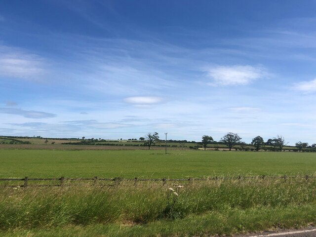
The village of Irvington is nestled among rolling hills and lush green fields, offering stunning views of the surrounding countryside. It is a close-knit community with a population of approximately 300 residents. The village is known for its peaceful atmosphere and friendly locals, making it an ideal place for those seeking a tranquil escape from city life.

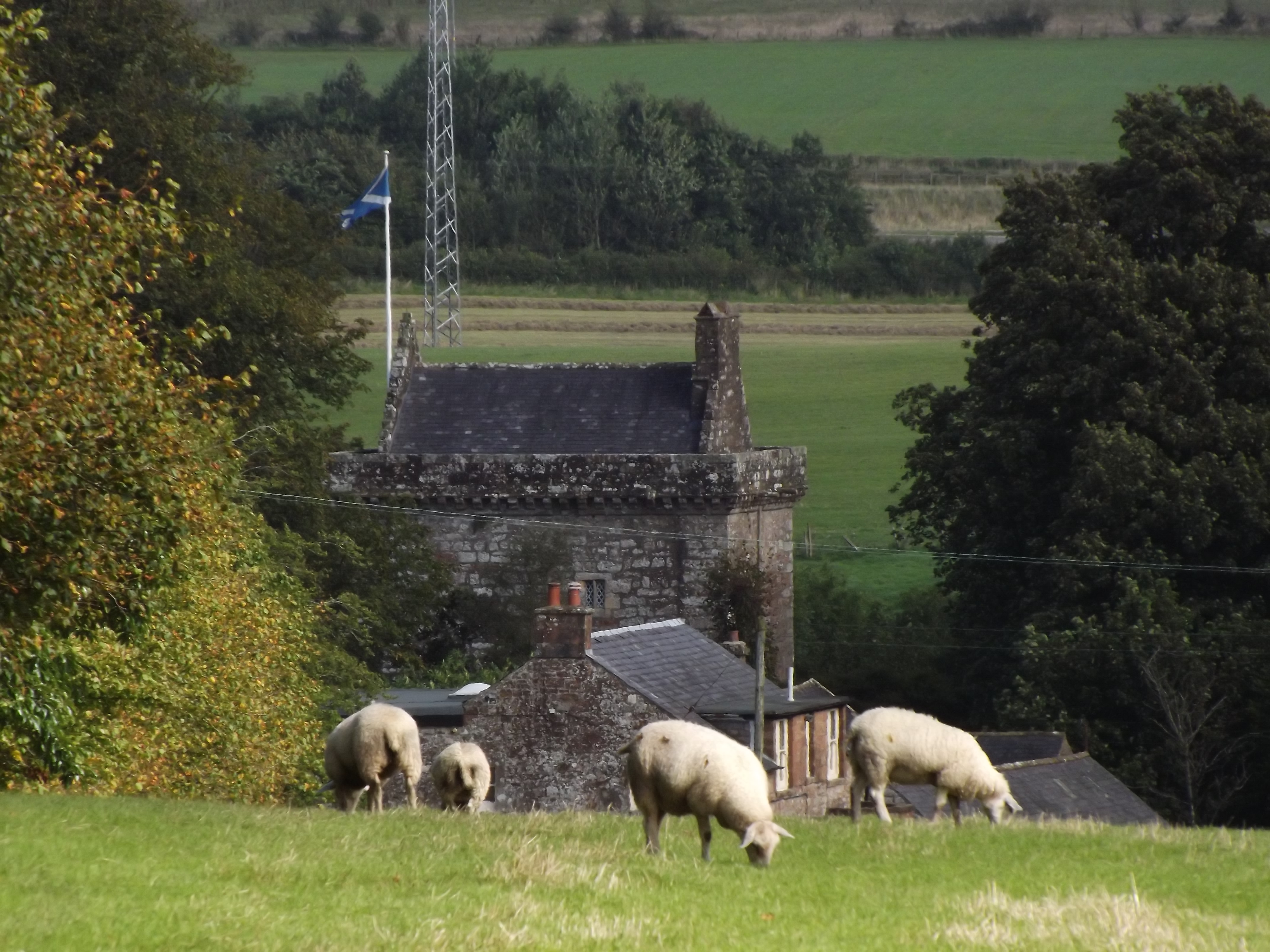
Despite its small size, Irvington has a rich history. The village dates back to the medieval era and was once a significant agricultural center in the region. Today, remnants of its past can still be seen in the form of old stone buildings and charming cottages.

For outdoor enthusiasts, Irvington provides ample opportunities for exploration. The nearby countryside offers numerous walking and cycling trails, allowing visitors to immerse themselves in the natural beauty of Dumfriesshire. Additionally, the village is in close proximity to the Solway Coast, known for its stunning beaches and diverse wildlife.

In terms of amenities, Irvington boasts a village hall, a small convenience store, and a charming local pub. The village also hosts various community events throughout the year, including agricultural shows and festive celebrations.

Overall, Irvington is a quaint and idyllic village that offers a peaceful retreat in the heart of Dumfriesshire. With its rich history, stunning landscapes, and welcoming community, it is a hidden gem for those looking to experience the beauty of rural Scotland.

If you have any feedback on the listing, please let us know in the comments section below.
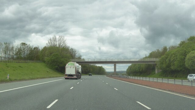
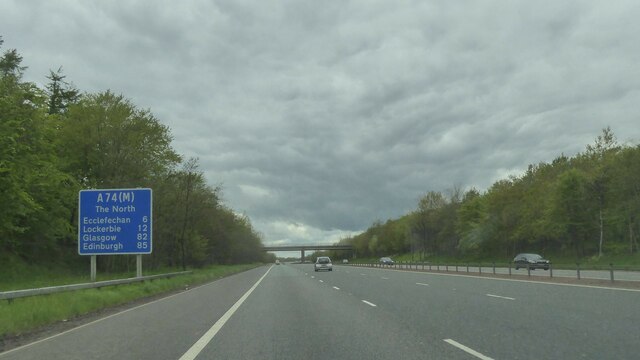
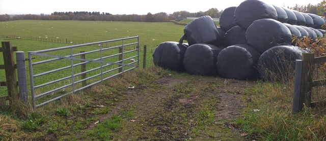
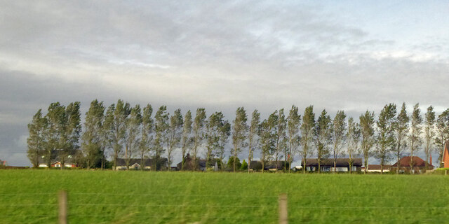
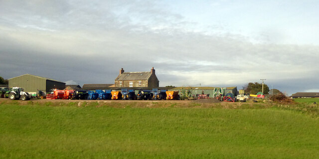
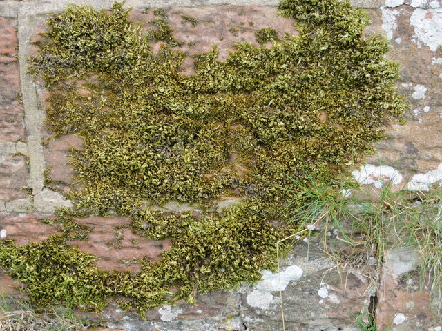
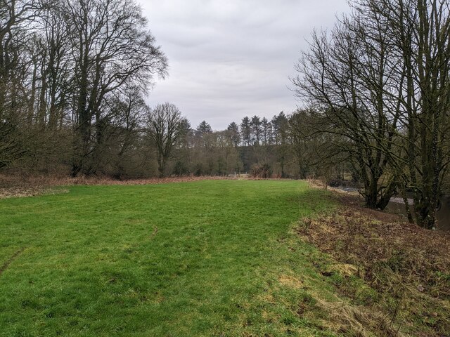
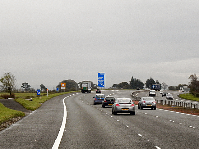
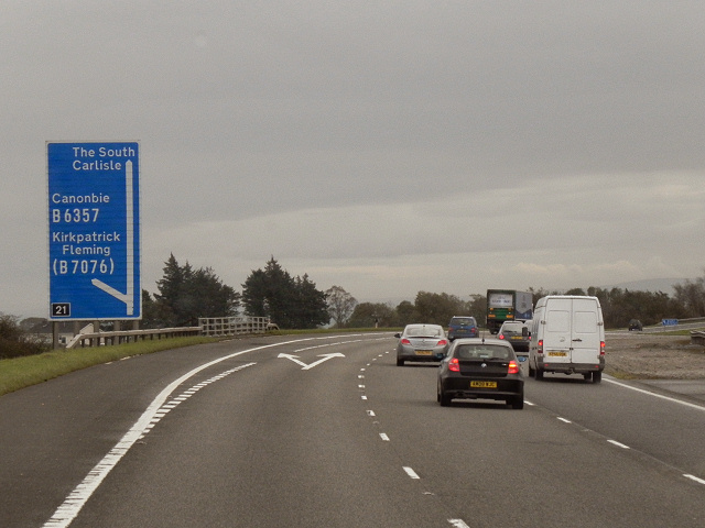
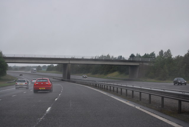
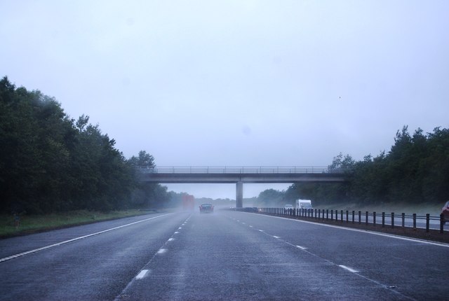
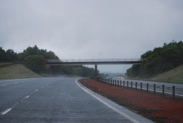
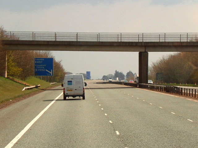
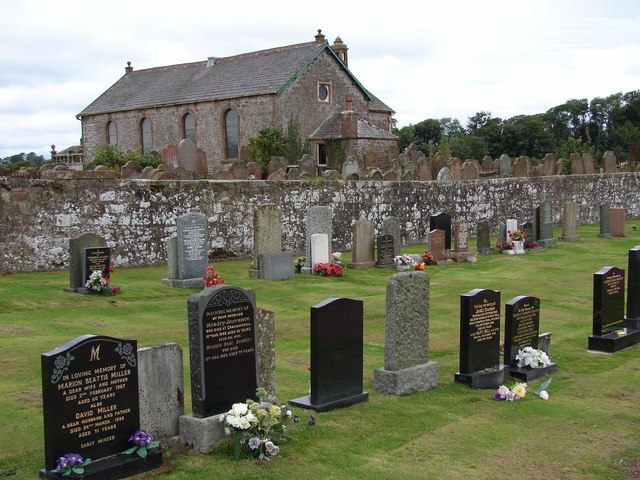
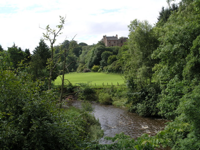
Irvington Images

Images are sourced within 2km of 55.020672/-3.1567663 or Grid Reference NY2670. Thanks to Geograph Open Source API. All images are credited.

Bridge over A74(M)
Bridge over A74(M)
A74(M) northbound
A74(M) northbound
Hay bales at side of road Hay bales at side of road near Kirkpatrick Fleming.
Hay bales at side of road
Hay bales at side of road near Kirkpatrick Fleming.
Trees along B7076, Newton, Kirkpatrick-Fleming Looking from the West Coast Main Line.
Trees along B7076, Newton, Kirkpatrick-Fleming
Looking from the West Coast Main Line.
Newton Farm Looking from the West Coast Main Line.
Newton Farm
Looking from the West Coast Main Line.
Ordnance Survey Cut Mark This moss covered mark can be found on a roadside wall near to Robgill Lodge.
The recorded details give a height of 69.7245 metres above sea level.
For more details see : <span class="nowrap"><a title="https://www.bench-marks.org.uk/bm164640" rel="nofollow ugc noopener" href="https://www.bench-marks.org.uk/bm164640">Link</a><img style="margin-left:2px;" alt="External link" title="External link - shift click to open in new window" src="https://s1.geograph.org.uk/img/external.png" width="10" height="10"/></span>
Ordnance Survey Cut Mark
This moss covered mark can be found on a roadside wall near to Robgill Lodge. The recorded details give a height of 69.7245 metres above sea level. For more details see : LinkExternal link
Field by the Kirtle Water Continuing down the steps past Bruce's Cave brings you to this small grassy field. The bridge, just visible in the distance is not accessible from here as it lies beyond a fence and locked gate.
Field by the Kirtle Water
Continuing down the steps past Bruce's Cave brings you to this small grassy field. The bridge, just visible in the distance is not accessible from here as it lies beyond a fence and locked gate.
Farmland east of the A74(M) near Kirkpatrick-Fleming
A74(M), southbound The A74(M) & M74  run over 80 miles from the M6 at the Scottish border near Gretna to the M8 at Glasgow. This is one of the two most important routeways into Scotland from the south. The last stretch of the M74 opened in 2011 (see <a title="https://www.geograph.org.uk/snippet/590" href="https://www.geograph.org.uk/snippet/590">Link</a> ).
Wikipedia: <span class="nowrap"><a title="http://en.wikipedia.org/wiki/A74(M)_and_M74_motorways" rel="nofollow ugc noopener" href="http://en.wikipedia.org/wiki/A74(M)_and_M74_motorways">Link</a><img style="margin-left:2px;" alt="External link" title="External link - shift click to open in new window" src="https://s1.geograph.org.uk/img/external.png" width="10" height="10"/></span>
A74(M), southbound
The A74(M) & M74 run over 80 miles from the M6 at the Scottish border near Gretna to the M8 at Glasgow. This is one of the two most important routeways into Scotland from the south. The last stretch of the M74 opened in 2011 (see Link ). Wikipedia: LinkExternal link
Slip road and sign at junction 21 southbound M74 junction 21
Slip road and sign at junction 21 southbound
M74 junction 21
A74(M) Approaching Junction 21 The A74(M) and M74 form a major motorway which runs for over 80 miles in Scotland. Following an extension opened on 28 June 2011, it connects the M8 motorway west of Glasgow to the English border at Gretna,where it becomes the M6. In conjunction with the M6, it forms one of the two major cross-border routes between Scotland and England. As the motorway is one continuous route and has a continuous junction numbering system, the entire route is often erroneously referred to as M74 although, the section south of Abington (more than half its length) is officially the A74(M).

More information :
<span class="nowrap"><a title="http://www.sabre-roads.org.uk/wiki/index.php?title=M74/A74(M)" rel="nofollow ugc noopener" href="http://www.sabre-roads.org.uk/wiki/index.php?title=M74/A74(M)">Link</a><img style="margin-left:2px;" alt="External link" title="External link - shift click to open in new window" src="https://s1.geograph.org.uk/img/external.png" width="10" height="10"/></span>  SABRE Wiki
<span class="nowrap"><a title="http://en.wikipedia.org/wiki/A74(M)_and_M74_motorways" rel="nofollow ugc noopener" href="http://en.wikipedia.org/wiki/A74(M)_and_M74_motorways">Link</a><img style="margin-left:2px;" alt="External link" title="External link - shift click to open in new window" src="https://s1.geograph.org.uk/img/external.png" width="10" height="10"/></span>  Wikipedia
<span class="nowrap"><a title="http://www.cbrd.co.uk/motorway/m74" rel="nofollow ugc noopener" href="http://www.cbrd.co.uk/motorway/m74">Link</a><img style="margin-left:2px;" alt="External link" title="External link - shift click to open in new window" src="https://s1.geograph.org.uk/img/external.png" width="10" height="10"/></span>  cbrd
A74(M) Approaching Junction 21
The A74(M) and M74 form a major motorway which runs for over 80 miles in Scotland. Following an extension opened on 28 June 2011, it connects the M8 motorway west of Glasgow to the English border at Gretna,where it becomes the M6. In conjunction with the M6, it forms one of the two major cross-border routes between Scotland and England. As the motorway is one continuous route and has a continuous junction numbering system, the entire route is often erroneously referred to as M74 although, the section south of Abington (more than half its length) is officially the A74(M). More information : LinkExternal link SABRE Wiki LinkExternal link Wikipedia LinkExternal link cbrd
A74(M), Junction 21 The A74(M) and M74 form a major motorway which runs for over 80 miles in Scotland. Following an extension opened on 28 June 2011, it connects the M8 motorway west of Glasgow to the English border at Gretna,where it becomes the M6. In conjunction with the M6, it forms one of the two major cross-border routes between Scotland and England. As the motorway is one continuous route and has a continuous junction numbering system, the entire route is often erroneously referred to as M74 although, the section south of Abington (more than half its length) is officially the A74(M).

More information :
<span class="nowrap"><a title="http://www.sabre-roads.org.uk/wiki/index.php?title=M74/A74(M)" rel="nofollow ugc noopener" href="http://www.sabre-roads.org.uk/wiki/index.php?title=M74/A74(M)">Link</a><img style="margin-left:2px;" alt="External link" title="External link - shift click to open in new window" src="https://s1.geograph.org.uk/img/external.png" width="10" height="10"/></span>  SABRE Wiki
<span class="nowrap"><a title="http://en.wikipedia.org/wiki/A74(M)_and_M74_motorways" rel="nofollow ugc noopener" href="http://en.wikipedia.org/wiki/A74(M)_and_M74_motorways">Link</a><img style="margin-left:2px;" alt="External link" title="External link - shift click to open in new window" src="https://s1.geograph.org.uk/img/external.png" width="10" height="10"/></span>  Wikipedia
<span class="nowrap"><a title="http://www.cbrd.co.uk/motorway/m74" rel="nofollow ugc noopener" href="http://www.cbrd.co.uk/motorway/m74">Link</a><img style="margin-left:2px;" alt="External link" title="External link - shift click to open in new window" src="https://s1.geograph.org.uk/img/external.png" width="10" height="10"/></span>  cbrd
A74(M), Junction 21
The A74(M) and M74 form a major motorway which runs for over 80 miles in Scotland. Following an extension opened on 28 June 2011, it connects the M8 motorway west of Glasgow to the English border at Gretna,where it becomes the M6. In conjunction with the M6, it forms one of the two major cross-border routes between Scotland and England. As the motorway is one continuous route and has a continuous junction numbering system, the entire route is often erroneously referred to as M74 although, the section south of Abington (more than half its length) is officially the A74(M). More information : LinkExternal link SABRE Wiki LinkExternal link Wikipedia LinkExternal link cbrd
Approaching overbridge, Junction 21, A74(M) The A74(M) & M74  run over 80 miles from the M6 at the Scottish border near Gretna to the M8 at Glasgow. This is one of the two most important routeways into Scotland from the south. The last stretch of the M74 opened in 2011 (see <a title="https://www.geograph.org.uk/snippet/590" href="https://www.geograph.org.uk/snippet/590">Link</a> ).
Wikipedia: <span class="nowrap"><a title="http://en.wikipedia.org/wiki/A74(M)_and_M74_motorways" rel="nofollow ugc noopener" href="http://en.wikipedia.org/wiki/A74(M)_and_M74_motorways">Link</a><img style="margin-left:2px;" alt="External link" title="External link - shift click to open in new window" src="https://s1.geograph.org.uk/img/external.png" width="10" height="10"/></span>
Approaching overbridge, Junction 21, A74(M)
The A74(M) & M74 run over 80 miles from the M6 at the Scottish border near Gretna to the M8 at Glasgow. This is one of the two most important routeways into Scotland from the south. The last stretch of the M74 opened in 2011 (see Link ). Wikipedia: LinkExternal link
Overbridge, A74(M) The A74(M) & M74  run over 80 miles from the M6 at the Scottish border near Gretna to the M8 at Glasgow. This is one of the two most important routeways into Scotland from the south. The last stretch of the M74 opened in 2011 (see <a title="https://www.geograph.org.uk/snippet/590" href="https://www.geograph.org.uk/snippet/590">Link</a> ).
Wikipedia: <span class="nowrap"><a title="http://en.wikipedia.org/wiki/A74(M)_and_M74_motorways" rel="nofollow ugc noopener" href="http://en.wikipedia.org/wiki/A74(M)_and_M74_motorways">Link</a><img style="margin-left:2px;" alt="External link" title="External link - shift click to open in new window" src="https://s1.geograph.org.uk/img/external.png" width="10" height="10"/></span>
Overbridge, A74(M)
The A74(M) & M74 run over 80 miles from the M6 at the Scottish border near Gretna to the M8 at Glasgow. This is one of the two most important routeways into Scotland from the south. The last stretch of the M74 opened in 2011 (see Link ). Wikipedia: LinkExternal link
Bridge to Woodhouse Mains, A74(M) The A74(M) & M74  run over 80 miles from the M6 at the Scottish border near Gretna to the M8 at Glasgow. This is one of the two most important routeways into Scotland from the south. The last stretch of the M74 opened in 2011 (see <a title="https://www.geograph.org.uk/snippet/590" href="https://www.geograph.org.uk/snippet/590">Link</a> ).
Wikipedia: <span class="nowrap"><a title="http://en.wikipedia.org/wiki/A74(M)_and_M74_motorways" rel="nofollow ugc noopener" href="http://en.wikipedia.org/wiki/A74(M)_and_M74_motorways">Link</a><img style="margin-left:2px;" alt="External link" title="External link - shift click to open in new window" src="https://s1.geograph.org.uk/img/external.png" width="10" height="10"/></span>
Bridge to Woodhouse Mains, A74(M)
The A74(M) & M74 run over 80 miles from the M6 at the Scottish border near Gretna to the M8 at Glasgow. This is one of the two most important routeways into Scotland from the south. The last stretch of the M74 opened in 2011 (see Link ). Wikipedia: LinkExternal link
A74(M) Newton A farm access bridge over the A74(M). Approaching junction 21, from the north.
A74(M) Newton
A farm access bridge over the A74(M). Approaching junction 21, from the north.
Show me another place!

Irvington is located at Grid Ref: NY2670 (Lat: 55.020672, Lng: -3.1567663)

Unitary Authority: Dumfries and Galloway

Police Authority: Dumfries and Galloway

What 3 Words

///distilled.masters.ferrets. Near Eastriggs, Dumfries & Galloway

Related Wikis

Bruce's Cave

Bruce's Cave or the Dunskellie Grotto is a relatively small and mainly artificial cave created in the red sandstone cliffs about 9 metres above the Kirtle...

Kirkpatrick railway station

Kirkpatrick railway station was a station which served the rural area around Kirkpatrick Fleming, north of Gretna in the Scottish county of Dumfries and...

Kirkpatrick-Fleming

Kirkpatrick-Fleming (Scottish Gaelic: Cill Phàdraig) is a village and civil parish in Dumfries and Galloway, south-west Scotland. It is located between...

Robgill Tower

Robgill Tower is a tower house near Kirkpatrick Fleming on the banks of the river Kirtle. It was one of a number of towers built along the border as protection...

Bonshaw Tower

Bonshaw Tower is an oblong tower house, probably dating from the mid-16th century, one mile south of Kirtlebridge, Dumfries and Galloway, Scotland, above...

Kirtlebridge

Kirtlebridge is a village in Dumfries and Galloway, southern Scotland. It is located 8 kilometres (5.0 mi) north-east of Annan, 5 kilometres (3.1 mi) north...

Rigg railway station

Rigg railway station was a railway station in Dumfries and Galloway between Eastriggs and Gretna, serving the small village of Rigg. == History == The...

Eastriggs

Eastriggs is a small village located in Dumfries and Galloway in the south of Scotland, the village is located around 2 mi (3.2 km) north of the mud and...

Nearby Amenities

Located within 500m of 55.020672,-3.1567663
Power: pole
Lat/Long: 55.0205674/-3.1641523
Power: pole
Lat/Long: 55.0208011/-3.1630231
Power: pole
Lat/Long: 55.0209933/-3.1621165
Power: pole
Lat/Long: 55.0195886/-3.1545674
Power: pole
Lat/Long: 55.0200315/-3.1558334
Power: pole
Lat/Long: 55.0204959/-3.1571128
Power: pole
Lat/Long: 55.0209587/-3.1584673
Power: pole
Lat/Long: 55.0221811/-3.1619301
Power: pole
Lat/Long: 55.0212624/-3.1612475
Power: pole
Lat/Long: 55.0219343/-3.1590266
Power: pole
Lat/Long: 55.0223233/-3.1578035
Power: pole
Lat/Long: 55.0227047/-3.1565375
Power: pole
Lat/Long: 55.0230967/-3.1552527
Power: pole
Lat/Long: 55.0236995/-3.1547485
Power: pole
Lat/Long: 55.0242714/-3.1540135
Post Box
Ref: DG11 21
Source: survey
Lat/Long: 55.0206693/-3.1567844
Power: pole
Lat/Long: 55.0184587/-3.1512589
Power: pole
Lat/Long: 55.0189106/-3.1525314
Power: pole
Lat/Long: 55.0192163/-3.1534819
Power: pole
Lat/Long: 55.0181161/-3.1573961
Bruce's Cave
Natural: cave_entrance
Lat/Long: 55.0226117/-3.1509039
The data included in this document is from www.openstreetmap.org. The data is made available under ODbL.

Have you been to Irvington?

Leave your review of Irvington below (or comments, questions and feedback).