Heriot
Settlement in Midlothian
Scotland
Heriot
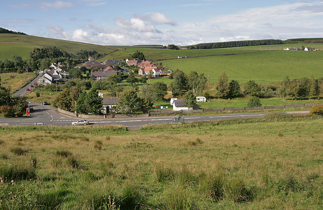
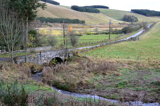
Heriot is a small village located in the Midlothian region of Scotland. Situated approximately 19 miles southeast of the capital city of Edinburgh, it is nestled in the picturesque countryside of the Scottish Borders. With a population of around 300 people, Heriot exudes a charming and peaceful atmosphere.
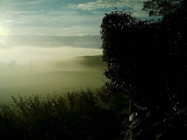
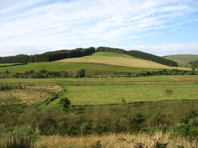
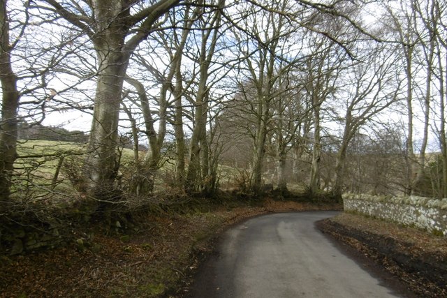
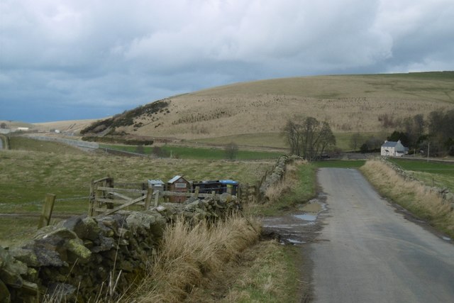
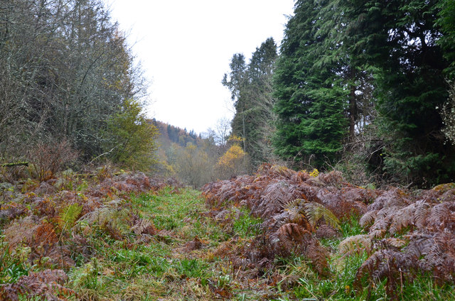
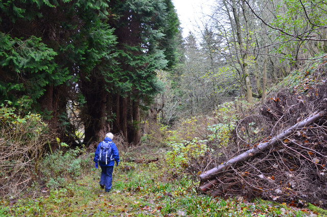
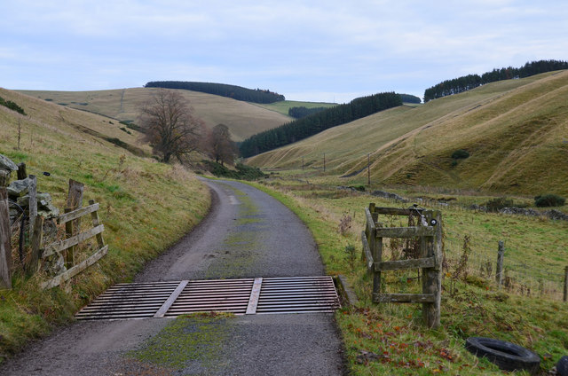
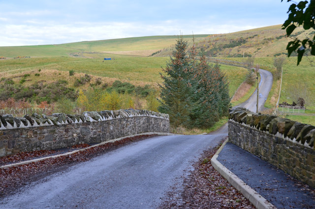
The village is predominantly residential, with a scattering of traditional stone houses and cottages lining its streets. Many of these buildings date back several centuries, adding to the village's historic appeal. The rolling hills and lush green fields surrounding Heriot provide a breathtaking backdrop, making it a popular destination for nature lovers and outdoor enthusiasts.
Despite its small size, Heriot boasts a strong sense of community. The village has a primary school, which plays a central role in the lives of local families. Additionally, there is a village hall where various community events and gatherings take place throughout the year.
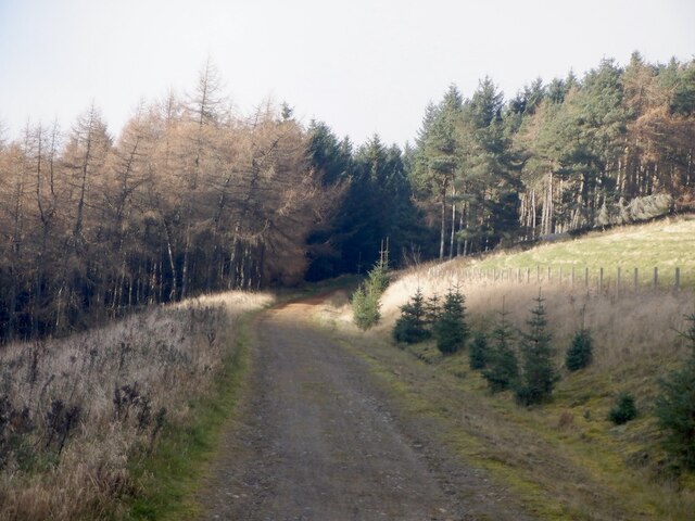
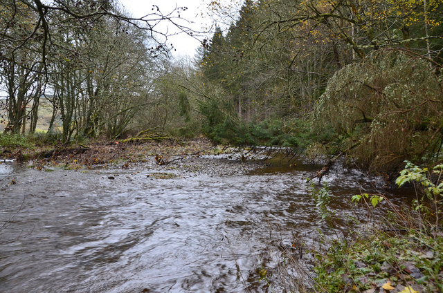
For those seeking recreational activities, Heriot offers opportunities for walking, cycling, and exploring the beautiful countryside. The nearby Heriot Water provides a tranquil spot for fishing enthusiasts, while the surrounding hills offer panoramic views and ample hiking trails.
While Heriot may not have a wide range of amenities, its proximity to larger towns and cities ensures residents have access to essential services. The village benefits from good transportation links, with regular bus services connecting it to nearby towns and Edinburgh.
Overall, Heriot provides a peaceful and idyllic setting for those looking to escape the hustle and bustle of city life, while still enjoying the convenience of nearby urban areas.
If you have any feedback on the listing, please let us know in the comments section below.
Heriot Images
Images are sourced within 2km of 55.764913/-2.9684086 or Grid Reference NT3952. Thanks to Geograph Open Source API. All images are credited.
Heriot is located at Grid Ref: NT3952 (Lat: 55.764913, Lng: -2.9684086)
Unitary Authority: The Scottish Borders
Police Authority: The Lothians and Scottish Borders
What 3 Words
///deluded.shock.skid. Near Gorebridge, Midlothian
Nearby Locations
Related Wikis

Heriot, Scottish Borders
Heriot is a small village in the Moorfoot Hills southeast of Edinburgh, Scotland, within Eildon (part of the Scottish Borders council area, though historically...

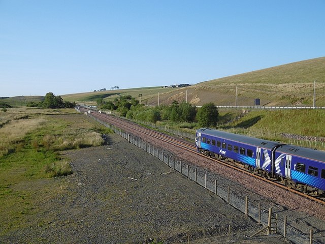
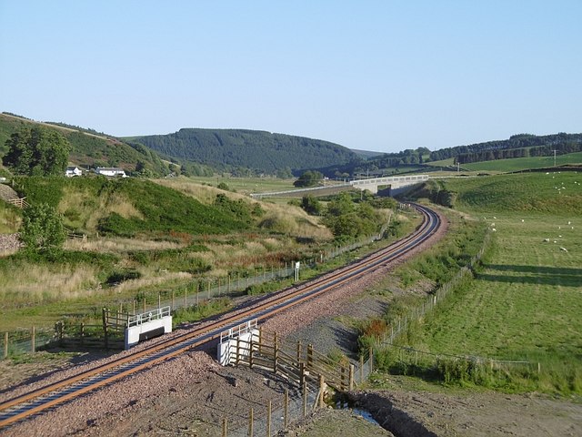
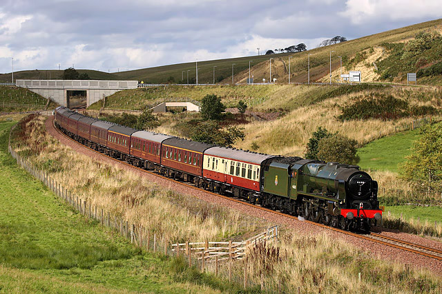
Heriot railway station
Heriot railway station served the village of Heriot, Scottish Borders, Scotland from 1848 to 1969 on the Waverley Route. == History == The station opened...

Borders Railway
The Borders Railway connects the city of Edinburgh with Galashiels and Tweedbank in the Scottish Borders. The railway follows most of the alignment of...

Halltree
Halltree is a hamlet in the Scottish Borders. == Etymology == The etymology of Halltree is debated, but the second element is likely to be a Cumbric word...

Carcant
Carcant is a small settlement and a wind farm, near Heriot in the Scottish Borders area of Scotland. A famous inhabitant of Carcant was Eric Liddell....

Falahill
Falahill is a village in the Scottish Borders, in the Moorfoot Hills, at NT387563, in the Parish of Heriot, and close to the border with Midlothian. Nearby...
Garvald, Scottish Borders
Garvald (Scots: Garvit) is a hamlet on the B7007, near Dewar, by the Dewar Burn, in the Moorfoot Hills, in the Scottish Borders area of Scotland, in the...

Fountainhall railway station
Fountainhall railway station served the village of Fountainhall, Scottish Borders from 1848 to 1969 on the Waverley Route. == History == The station opened...
Nearby Amenities
Located within 500m of 55.764913,-2.9684086Have you been to Heriot?
Leave your review of Heriot below (or comments, questions and feedback).