Hepscott Park
Settlement in Northumberland
England
Hepscott Park
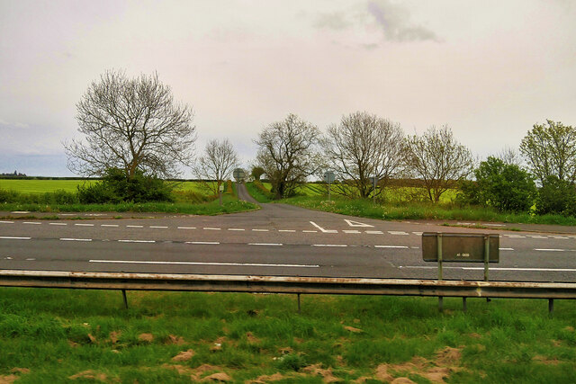
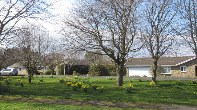
Hepscott Park is a picturesque village located in the county of Northumberland, England. Situated approximately 5 miles north of the historic market town of Morpeth, this serene village offers residents and visitors a tranquil escape from the hustle and bustle of urban life.
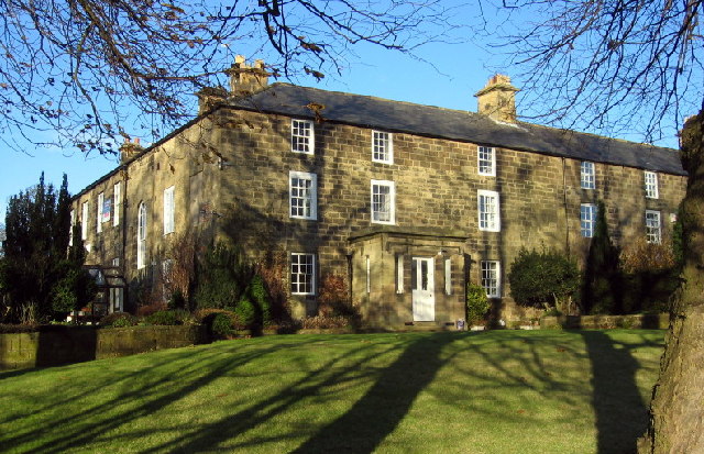
The centerpiece of Hepscott Park is the stunning Hepscott Manor, a grade II listed building dating back to the 18th century. Surrounded by well-maintained gardens and lush greenery, the manor showcases the architectural elegance of the era and provides a glimpse into the region's rich heritage.
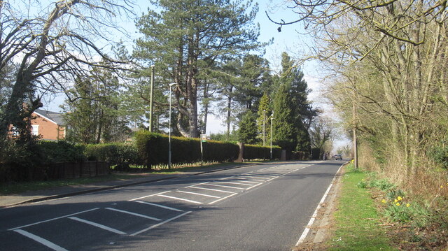
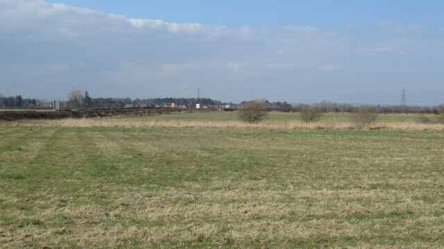
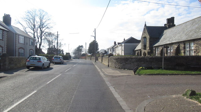
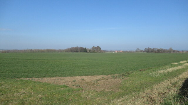
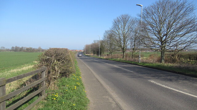
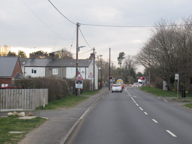
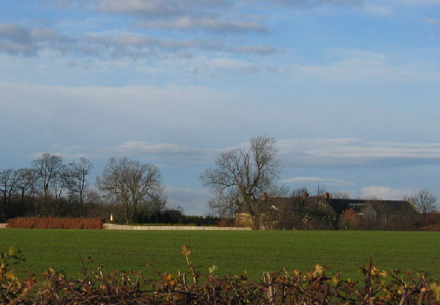
The village itself is characterized by charming stone houses, creating an idyllic atmosphere that is perfect for those seeking a peaceful retreat. The surrounding countryside is dotted with rolling hills, woodlands, and meandering streams, making it a haven for nature enthusiasts and hikers.
Hepscott Park is also home to a thriving community, with a local primary school, a village hall, and a church at its heart. Residents enjoy a close-knit community spirit and a range of activities and events throughout the year.
For those who enjoy outdoor pursuits, Hepscott Park offers easy access to the stunning Northumberland National Park, where visitors can explore miles of unspoiled landscapes, historic sites, and walking trails. The village is also within close proximity to the Northumberland coastline, with its stunning sandy beaches and picturesque seaside towns.
Overall, Hepscott Park provides a charming and peaceful retreat in the heart of the Northumberland countryside, offering a mix of natural beauty, historical charm, and a strong sense of community.
If you have any feedback on the listing, please let us know in the comments section below.
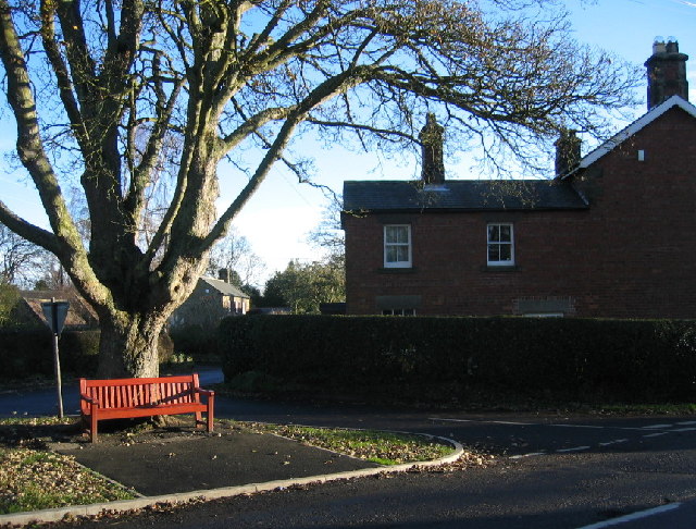
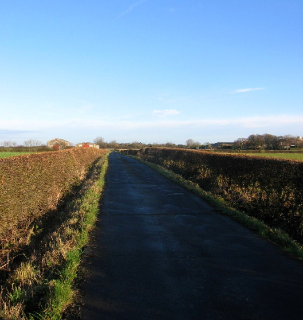
Hepscott Park Images
Images are sourced within 2km of 55.13624/-1.64904 or Grid Reference NZ2282. Thanks to Geograph Open Source API. All images are credited.
Hepscott Park is located at Grid Ref: NZ2282 (Lat: 55.13624, Lng: -1.64904)
Unitary Authority: Northumberland
Police Authority: Northumbria
What 3 Words
///bins.builds.mentions. Near Stannington, Northumberland
Nearby Locations
Related Wikis

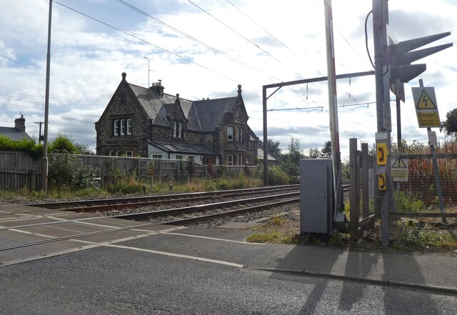
Stannington railway station
Stannington railway station was a railway station which served the village of Stannington in Northumberland, England. It was located on the East Coast...

Nedderton
Nedderton is a village in Northumberland, England about 4 miles (6 km) southeast of Morpeth, just off the A192 road. == History == In the early part of...

Clifton, Northumberland
Clifton is a hamlet in Northumberland, in England. The population is between 20 and 30. It is situated a short distance to the south of Morpeth, on the...

Hepscott railway station
Hepscott railway station served the village of Hepscott, Northumberland, England, from 1858 to 1964 on the Blyth and Tyne Railway. == History == The station...

Hepscott
Hepscott is a small village in the county of Northumberland, England, about 2 miles (3 km) south east of Morpeth, the county town. The name is Anglo-Saxon...
St Benet Biscop Catholic Academy
St. Benet Biscop Catholic Academy (formerly S. Benet Biscop Catholic High School) is a Roman Catholic high school in Bedlington, Northumberland, England...

Plessey Woods Country Park
Plessey Woods is a country park situated on the north bank of the River Blyth, in Northumberland. The park is accessed from the A192 in the village of...

County Hall, Morpeth
County Hall is a municipal building in Morpeth, Northumberland, United Kingdom. It is the offices and meeting place of Northumberland County Council. The...
Nearby Amenities
Located within 500m of 55.13624,-1.64904Have you been to Hepscott Park?
Leave your review of Hepscott Park below (or comments, questions and feedback).