Hepscott Park
Downs, Moorland in Northumberland
England
Hepscott Park
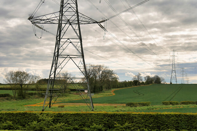
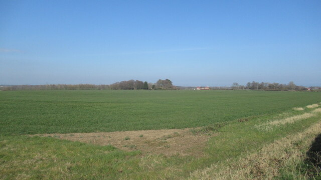
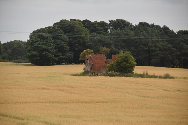
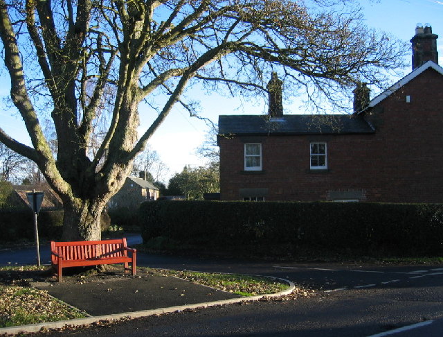
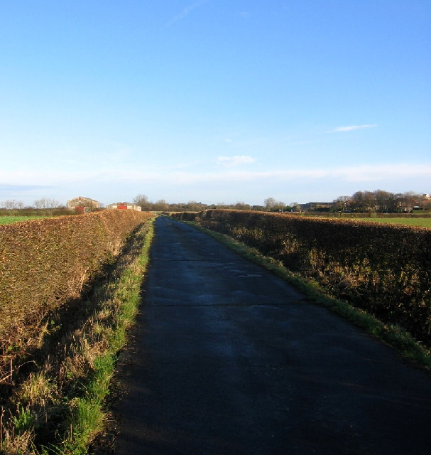
Hepscott Park is a picturesque natural reserve located in Northumberland, England. Situated amidst the stunning landscape of the county, the park covers an area of downs and moorland, offering visitors a diverse and captivating environment to explore.
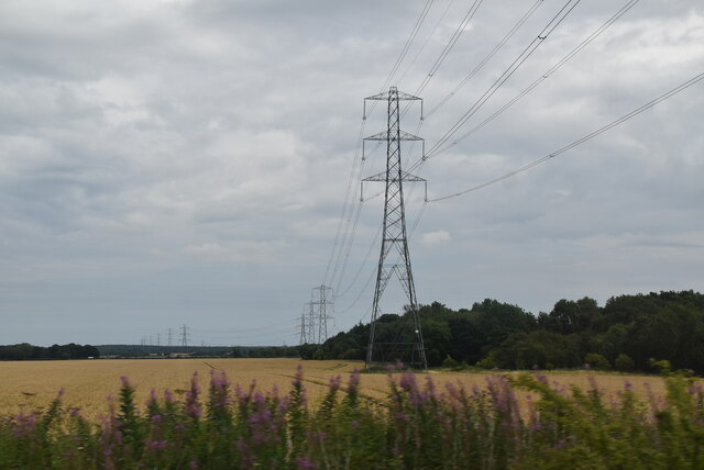
The park boasts a rich variety of flora and fauna, making it an ideal destination for nature lovers and wildlife enthusiasts. The downs, characterized by rolling hills and expansive grasslands, provide a habitat for numerous species of birds, including skylarks and curlews. The moorland, with its heather-covered terrain, offers a stark contrast and is home to wildlife such as red grouse and other upland birds.
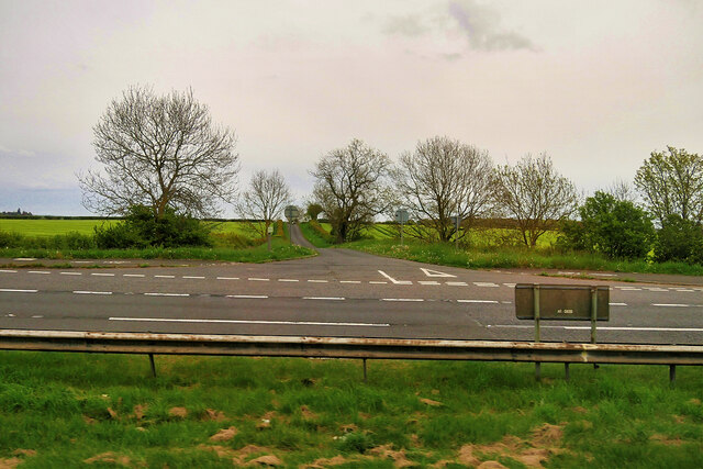
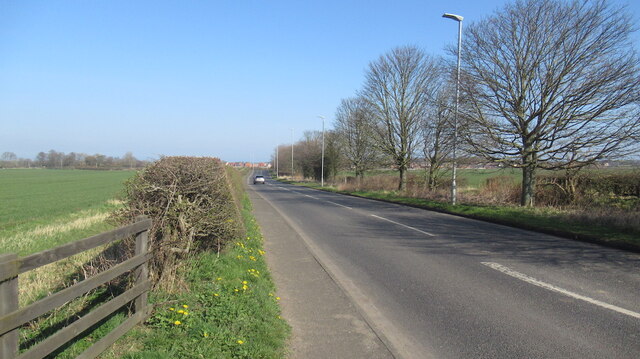
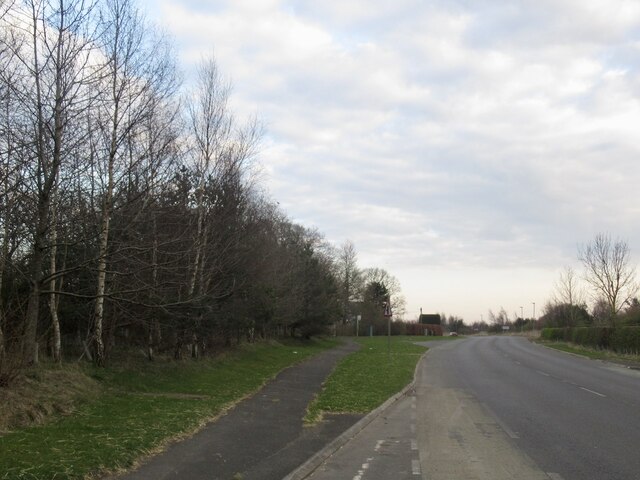
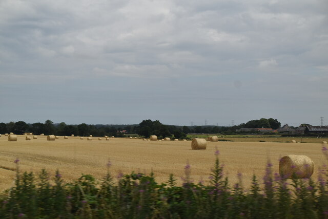
Visitors can enjoy leisurely walks along the well-maintained trails that meander through the park, allowing for a peaceful and immersive experience in nature. The park also features several viewpoints that offer breathtaking panoramic vistas of the surrounding countryside, providing ample opportunities for photography and sightseeing.
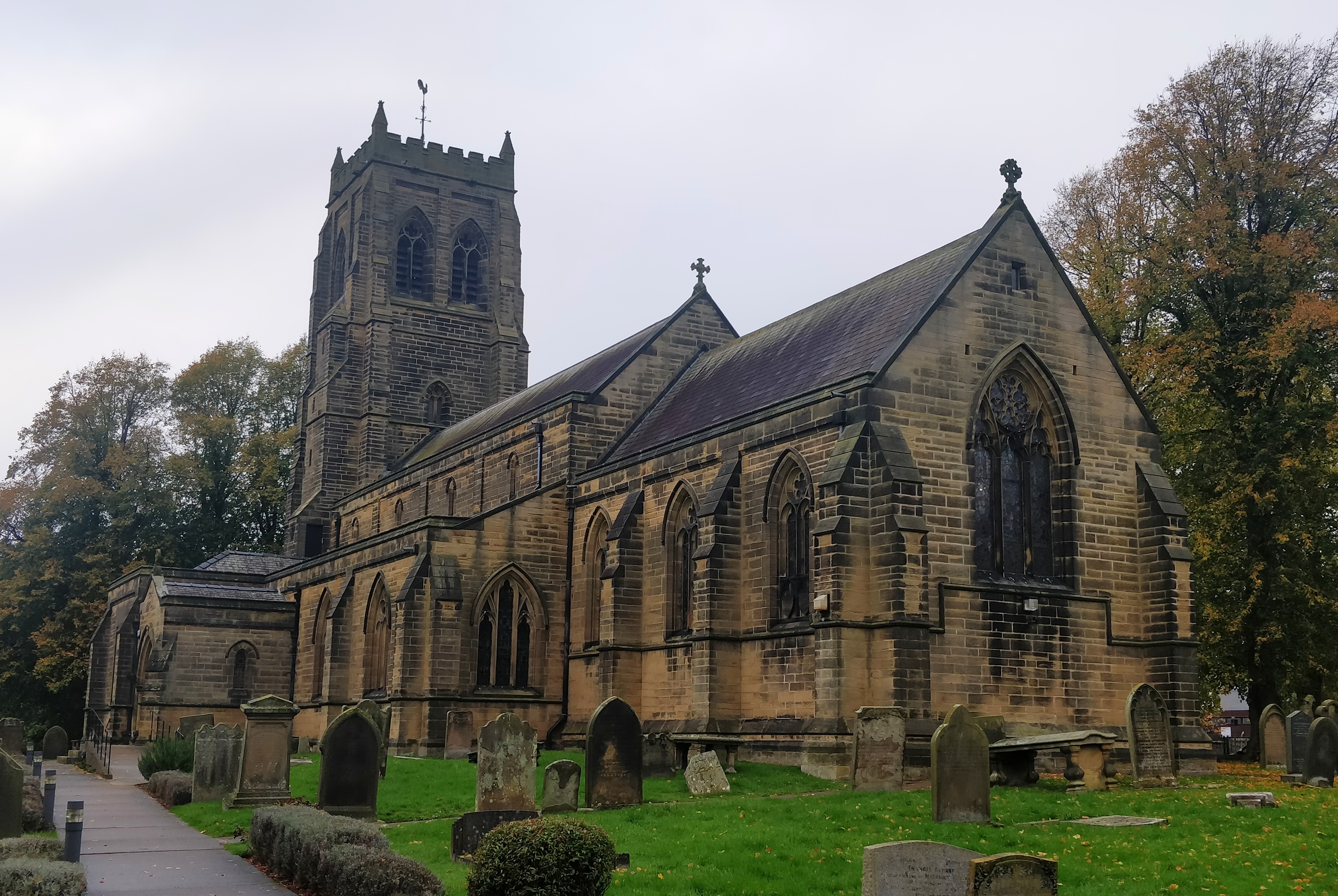
Hepscott Park is not only a haven for wildlife but also a site of historical significance. The remains of an ancient hillfort can be found within its boundaries, offering a glimpse into the region's rich heritage.
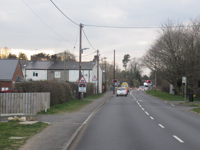
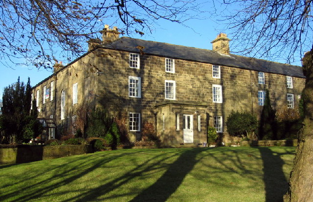
With its tranquil ambiance, diverse landscapes, and historical charm, Hepscott Park is a popular destination for both locals and tourists seeking a peaceful retreat in the heart of Northumberland.
If you have any feedback on the listing, please let us know in the comments section below.
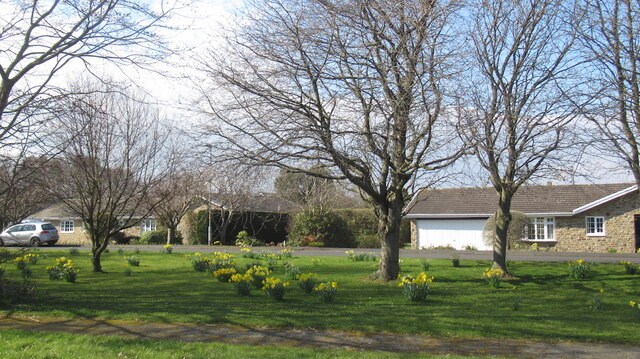
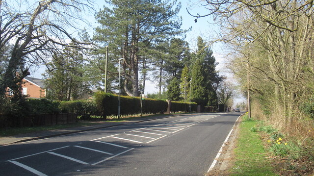
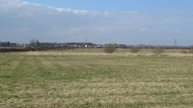
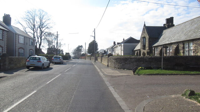
Hepscott Park Images
Images are sourced within 2km of 55.134234/-1.6545942 or Grid Reference NZ2282. Thanks to Geograph Open Source API. All images are credited.
Hepscott Park is located at Grid Ref: NZ2282 (Lat: 55.134234, Lng: -1.6545942)
Unitary Authority: Northumberland
Police Authority: Northumbria
What 3 Words
///stiffly.proofread.closed. Near Stannington, Northumberland
Nearby Locations
Related Wikis

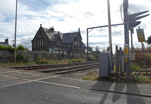
Stannington railway station
Stannington railway station was a railway station which served the village of Stannington in Northumberland, England. It was located on the East Coast...

Nedderton
Nedderton is a village in Northumberland, England about 4 miles (6 km) southeast of Morpeth, just off the A192 road. == History == In the early part of...

Clifton, Northumberland
Clifton is a hamlet in Northumberland, in England. The population is between 20 and 30. It is situated a short distance to the south of Morpeth, on the...

Hepscott railway station
Hepscott railway station served the village of Hepscott, Northumberland, England, from 1858 to 1964 on the Blyth and Tyne Railway. == History == The station...

Hepscott
Hepscott is a small village in the county of Northumberland, England, about 2 miles (3 km) south east of Morpeth, the county town. The name is Anglo-Saxon...

Glororum, Stannington
Glororum is a hamlet in the civil parish of Stannington in Northumberland, England, about 0.6 miles (1 km) west of Clifton and the A1 road. The nearest...
Stannington, Northumberland
Stannington is a village and civil parish in Northumberland, England. The population of the civil parish was 1,219 at the 2001 Census, increasing to 1...

County Hall, Morpeth
County Hall is a municipal building in Morpeth, Northumberland, United Kingdom. It is the offices and meeting place of Northumberland County Council. The...
Nearby Amenities
Located within 500m of 55.134234,-1.6545942Have you been to Hepscott Park?
Leave your review of Hepscott Park below (or comments, questions and feedback).