Hill Green
Downs, Moorland in Yorkshire
England
Hill Green
Hill Green is a picturesque village nestled within the scenic landscapes of Yorkshire, specifically situated amidst the captivating Yorkshire Downs and Moorland. With its idyllic setting and charming atmosphere, Hill Green offers a tranquil retreat for nature enthusiasts and those seeking respite from the hustle and bustle of city life.
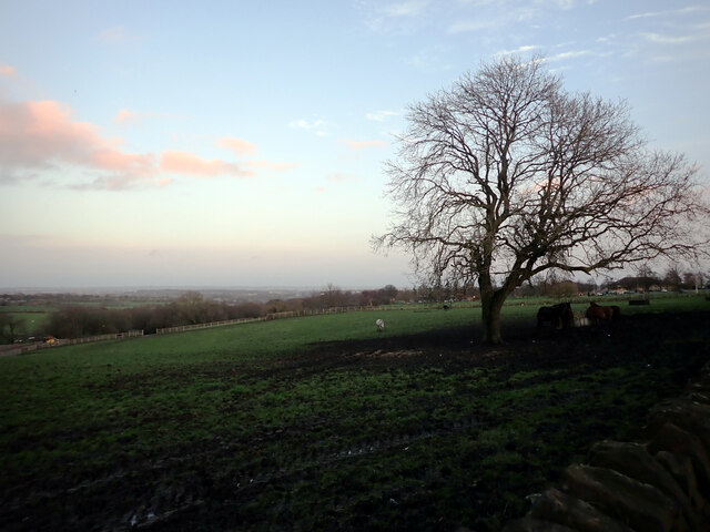
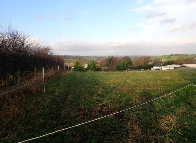
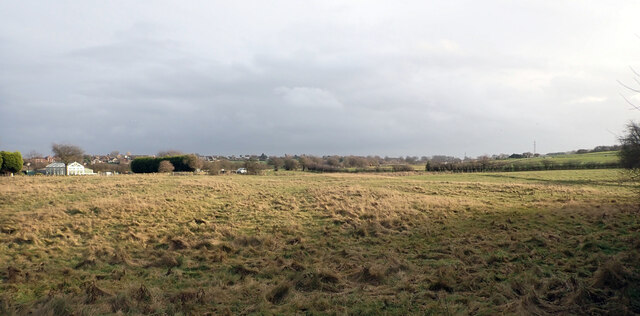
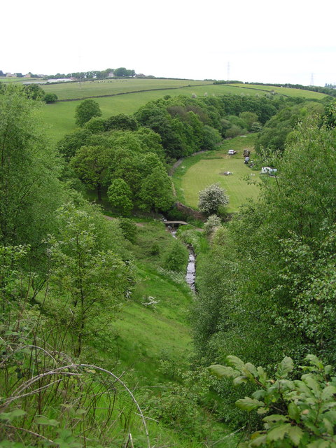
The village is renowned for its stunning views of rolling hills, lush green pastures, and vast stretches of moorland, which provide an awe-inspiring backdrop for outdoor activities and exploration. The Yorkshire Downs dominate the northern horizon, offering panoramic vistas that are particularly breathtaking during sunrise and sunset.
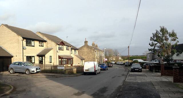
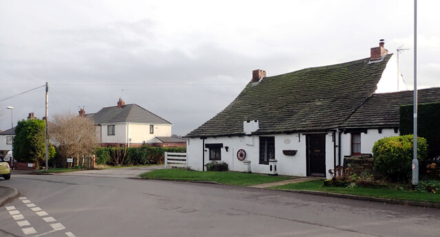
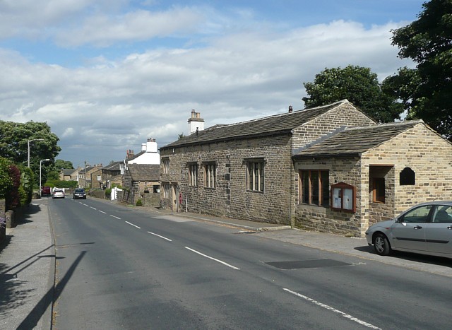
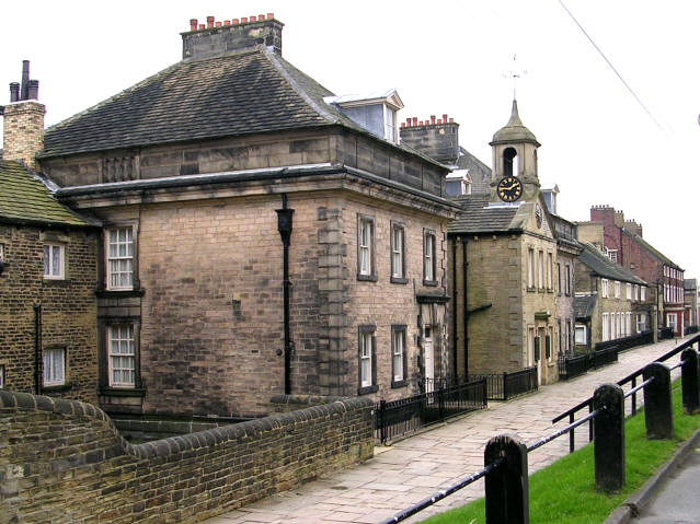
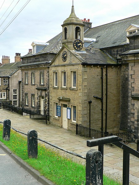
Hill Green boasts a rich history, evident in its architecture and heritage sites. The village is home to a collection of traditional stone cottages, some dating back centuries, which add to the area's rustic charm. The local church, with its striking spire, stands as a testament to the village's long-standing religious significance.
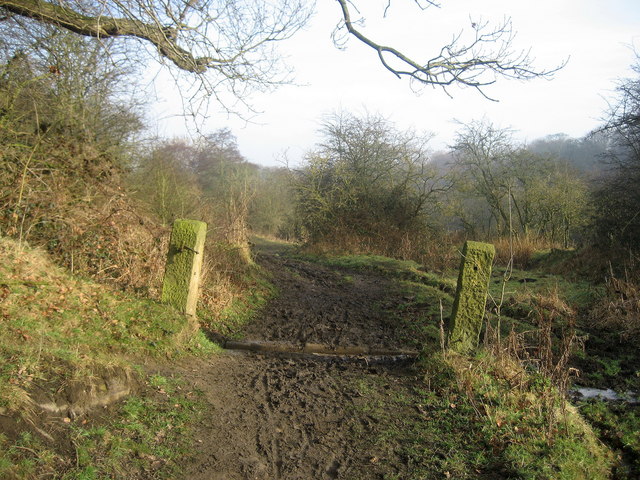
For outdoor enthusiasts, Hill Green offers boundless opportunities for hiking, cycling, and horseback riding. The Yorkshire Downs and Moorland provide a network of trails and paths that cater to all levels of experience, allowing visitors to immerse themselves in the unspoiled beauty of the countryside.
In terms of amenities, Hill Green boasts a cozy pub serving local ales and traditional fare, providing visitors with a chance to savor the region's culinary delights. The village also offers a range of accommodation options, including charming bed and breakfasts and self-catering cottages, ensuring a comfortable stay for all.
Overall, Hill Green, Yorkshire Downs, and Moorland epitomize the quintessential English countryside, offering a peaceful retreat and a chance to reconnect with nature in a truly captivating setting.
If you have any feedback on the listing, please let us know in the comments section below.
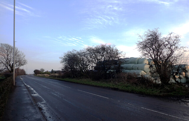
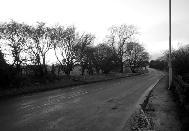
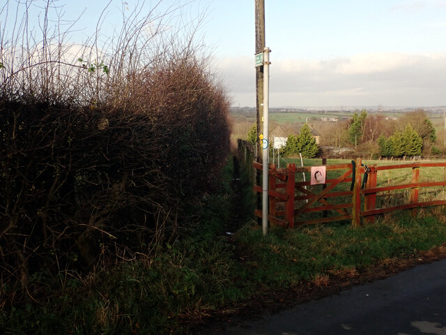
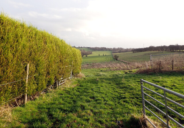
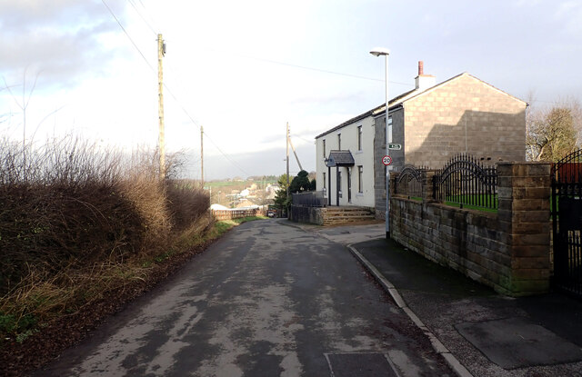
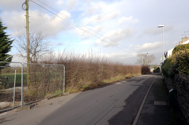
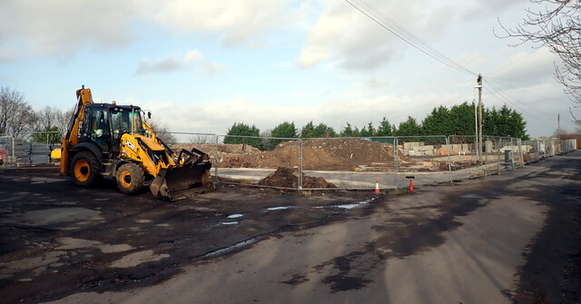
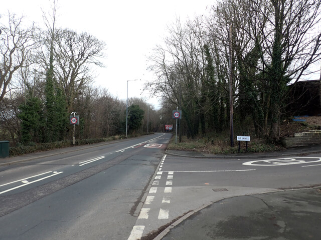
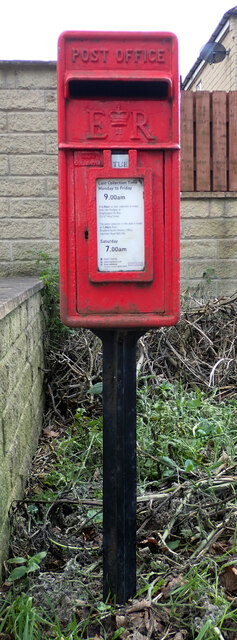
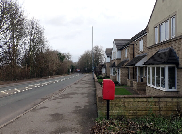
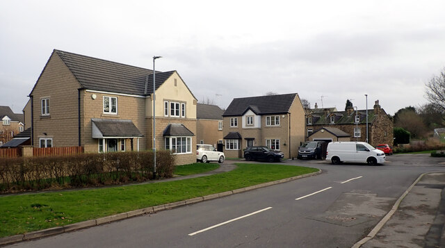
Hill Green Images
Images are sourced within 2km of 53.775428/-1.6656265 or Grid Reference SE2231. Thanks to Geograph Open Source API. All images are credited.


Hill Green is located at Grid Ref: SE2231 (Lat: 53.775428, Lng: -1.6656265)
Division: West Riding
Unitary Authority: Bradford
Police Authority: West Yorkshire
What 3 Words
///punchy.yards.twice. Near Pudsey, West Yorkshire
Nearby Locations
Related Wikis
Tyersal Beck
Tyersal Beck is a watercourse in West Yorkshire, England, named after the village of Tyersal in whose vicinity it runs. == Course == Its source is located...

Holme Beck
Holme Beck is a watercourse in the Tong ward of the City of Bradford, West Yorkshire, England. It drains a shallow valley east of the watershed between...

Tong (ward)
Tong (population 17,069 - 2001 UK census) is a ward within the City of Bradford Metropolitan District Council, West Yorkshire, England, named after Tong...
Tong, West Yorkshire
Tong or Tong Village is a village and former civil parish in the City of Bradford metropolitan district, West Yorkshire, England. It is a historic village...
Cockersdale
Cockersdale is a location near Tong, south-west of Leeds, West Yorkshire, England. The Leeds Country Way follows the valley known as Cockers Dale, along...
Fulneck Moravian Settlement
Fulneck Moravian Settlement is a village in Pudsey in the City of Leeds metropolitan borough, West Yorkshire, England. The village (grid reference SE225319...
Fulneck Moravian Church
Fulneck Moravian Church and its associated settlement were established on the Fulneck estate, Pudsey, in the West Riding of Yorkshire, England, in 1744...

Fulneck School
Fulneck School is a small independent day and boarding school, situated in the Fulneck Moravian Settlement, in Pudsey, West Yorkshire, England. It provides...
Nearby Amenities
Located within 500m of 53.775428,-1.6656265Have you been to Hill Green?
Leave your review of Hill Green below (or comments, questions and feedback).