Henstridge Bowden

Settlement in Somerset South Somerset

England

Henstridge Bowden

Old Milestone near Toomer Farm, Henstridge parish Stone post (plate lost) by the A30, in parish of HENSTRIDGE (SOUTH SOMERSET District), Southwest of Henstridge, near Toomer Farm, on the verge against wall, on South side of road. Sherbourne iron plate, erected by the Sherborne turnpike trust in the 18th century. 

Inscription once read:-
(Sherborne)
(5)
(Shaftesbury)
(11)

Somerset HER.
HER number: 19641 <span class="nowrap"><a title="https://www.heritagegateway.org.uk/Gateway/Results_Single.aspx?uid=19641&resourceID=100" rel="nofollow ugc noopener" href="https://www.heritagegateway.org.uk/Gateway/Results_Single.aspx?uid=19641&resourceID=100">Link</a><img style="margin-left:2px;" alt="External link" title="External link - shift click to open in new window" src="https://s1.geograph.org.uk/img/external.png" width="10" height="10"/></span> 

Milestone Society National ID: SO_SBBF05.
Old Milestone near Toomer Farm, Henstridge parish Credit: JR Dowding

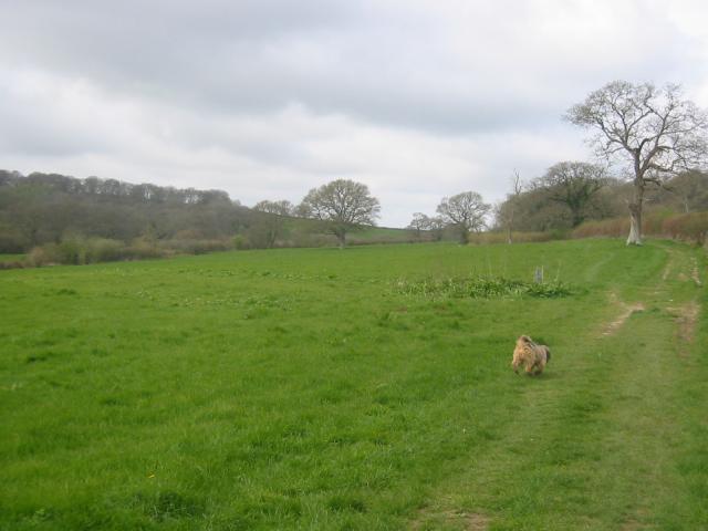
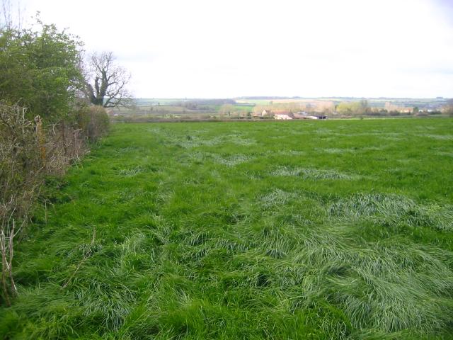
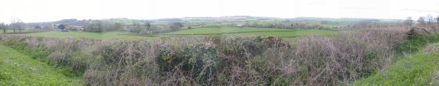
Henstridge Bowden is a small village located in the county of Somerset, England. Situated around 5 miles east of Sherborne and 8 miles south of Wincanton, it falls within the South Somerset district. The village is nestled in the picturesque countryside, surrounded by rolling hills and green fields.

Henstridge Bowden is home to a tight-knit community, with a population of approximately 500 residents. The village retains a traditional charm, with a mix of old stone cottages, thatched roofs, and more modern houses. Its quaint character is reflected in the village's well-maintained gardens and flower displays.

The village offers a range of amenities and services to its residents. These include a local pub, The White Horse Inn, which serves as a social hub and offers a selection of traditional British food and drinks. There is also a village hall that hosts various events and gatherings throughout the year. For outdoor enthusiasts, there are several walking and cycling routes in the surrounding countryside, allowing residents to enjoy the natural beauty of the area.

Henstridge Bowden benefits from its close proximity to larger towns, such as Sherborne and Wincanton, which provide additional amenities and services. The village is well-connected by road, with the A30 passing nearby, providing easy access to other parts of Somerset and beyond.

In summary, Henstridge Bowden is a charming village set in the scenic Somerset countryside, offering a tranquil and tight-knit community for its residents to enjoy.

If you have any feedback on the listing, please let us know in the comments section below.

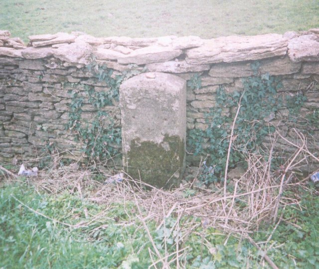
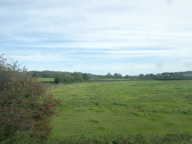
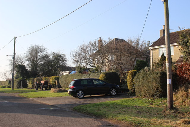
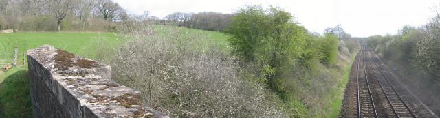
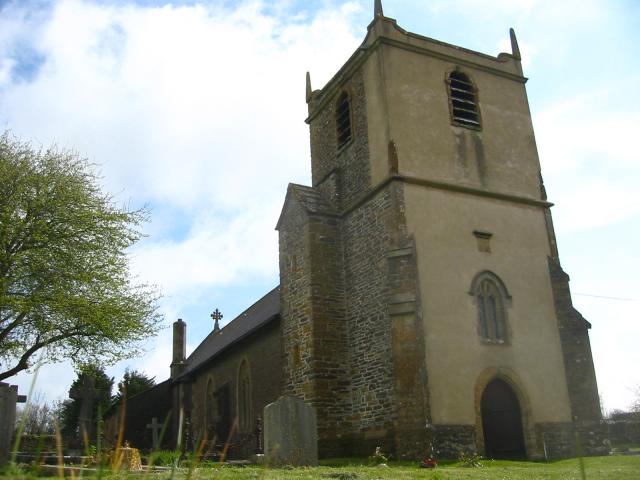
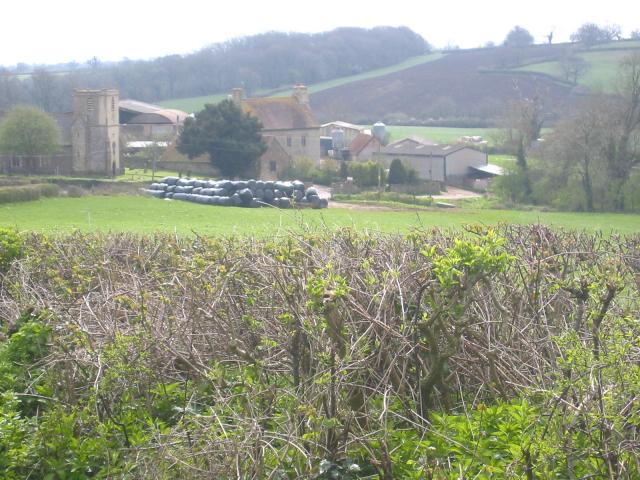
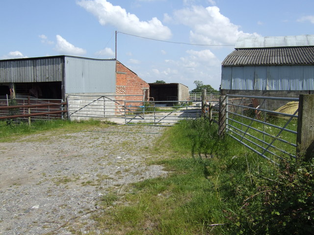
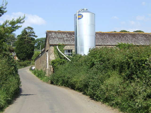
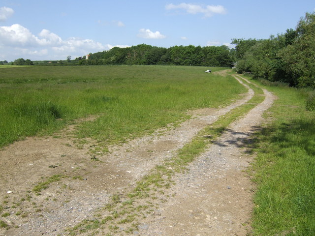
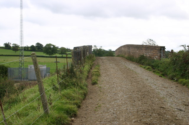
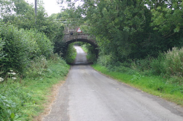
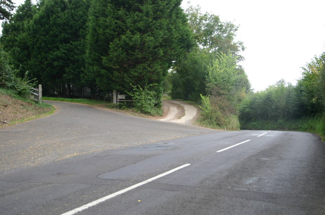
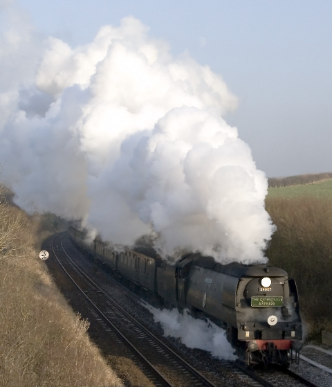
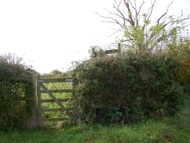
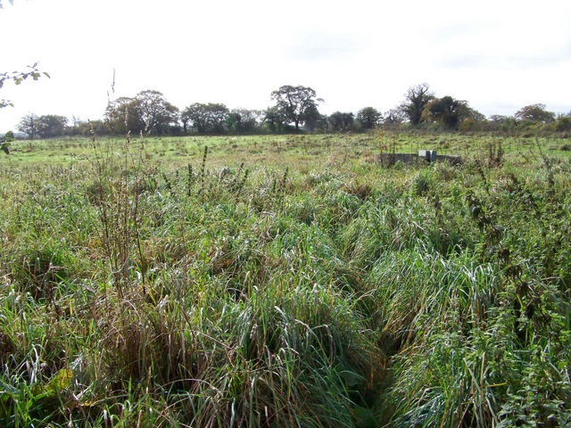
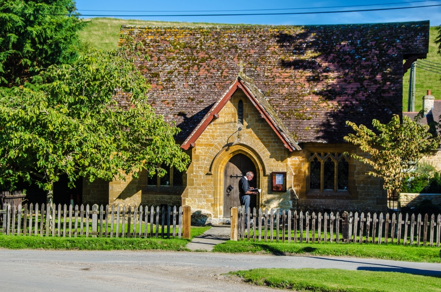
Henstridge Bowden Images

Images are sourced within 2km of 50.984705/-2.4393847 or Grid Reference ST6920. Thanks to Geograph Open Source API. All images are credited.

Old Milestone near Toomer Farm, Henstridge parish Stone post (plate lost) by the A30, in parish of HENSTRIDGE (SOUTH SOMERSET District), Southwest of Henstridge, near Toomer Farm, on the verge against wall, on South side of road. Sherbourne iron plate, erected by the Sherborne turnpike trust in the 18th century. 

Inscription once read:-
(Sherborne)
(5)
(Shaftesbury)
(11)

Somerset HER.
HER number: 19641 <span class="nowrap"><a title="https://www.heritagegateway.org.uk/Gateway/Results_Single.aspx?uid=19641&resourceID=100" rel="nofollow ugc noopener" href="https://www.heritagegateway.org.uk/Gateway/Results_Single.aspx?uid=19641&resourceID=100">Link</a><img style="margin-left:2px;" alt="External link" title="External link - shift click to open in new window" src="https://s1.geograph.org.uk/img/external.png" width="10" height="10"/></span> 

Milestone Society National ID: SO_SBBF05.
Old Milestone near Toomer Farm, Henstridge parish
Stone post (plate lost) by the A30, in parish of HENSTRIDGE (SOUTH SOMERSET District), Southwest of Henstridge, near Toomer Farm, on the verge against wall, on South side of road. Sherbourne iron plate, erected by the Sherborne turnpike trust in the 18th century. Inscription once read:- (Sherborne) (5) (Shaftesbury) (11) Somerset HER. HER number: 19641 LinkExternal link Milestone Society National ID: SO_SBBF05.
Marshy ground, by railway at Stowell The left-hand boundary of this field is a stream; hence the marshy nature of the field
Marshy ground, by railway at Stowell
The left-hand boundary of this field is a stream; hence the marshy nature of the field
Houses in Templecombe These houses are on the north side of Bowden Rd close to its junction with West St
Houses in Templecombe
These houses are on the north side of Bowden Rd close to its junction with West St
Railway lines near Stowell Wood This shows the railway line looking towards Templecombe from the bridge at ST692220
Railway lines near Stowell Wood
This shows the railway line looking towards Templecombe from the bridge at ST692220
Approaching Stowell Wood Taken from ST 698 222 looking west with Stowell Wood to the right, and West Wood on the hills to the left.
Approaching Stowell Wood
Taken from ST 698 222 looking west with Stowell Wood to the right, and West Wood on the hills to the left.
Clare Farm, Stowell Looking west from ST688220 towards Clare Farm, Stowell
Clare Farm, Stowell
Looking west from ST688220 towards Clare Farm, Stowell
St Mary Magdalene Church, Stowell
Stowell Farm Taken from ST 686 224 towards Stowell Farm
Stowell Farm
Taken from ST 686 224 towards Stowell Farm
Stowell Panorama Panoramic photo taken from ST 686 224 looking SW, with Stowell Farm to the left.
Stowell Panorama
Panoramic photo taken from ST 686 224 looking SW, with Stowell Farm to the left.
Burnt House Farm
Burnt House Farm
Manor Farm, Henstridge Bowden
Track and footpath to Templecombe
Bridge by Clare cottage Bridge over railway carrying bridleway by Clare cottage
Bridge by Clare cottage
Bridge over railway carrying bridleway by Clare cottage
Bridge on Shoredown Lane Railway bridge on Shoredown Lane
Bridge on Shoredown Lane
Railway bridge on Shoredown Lane
Station road Station road with the first left leading to the Station House (old railway station)
Station road
Station road with the first left leading to the Station House (old railway station)
Clare Cottage Cutting, Stowell Ex Southern Railway 4-6-2 No. 34067 "Tangmere" brings the Cathedrals Express up the gradient from Templecombe having set off from London Waterloo  for the Sherborne Abbey Christmas Carol Service.
Clare Cottage Cutting, Stowell
Ex Southern Railway 4-6-2 No. 34067 "Tangmere" brings the Cathedrals Express up the gradient from Templecombe having set off from London Waterloo for the Sherborne Abbey Christmas Carol Service.
Gate near Templecombe The gate off Bowden Lane gives walkers access to the footpath which will take them to Yenston.
Gate near Templecombe
The gate off Bowden Lane gives walkers access to the footpath which will take them to Yenston.
Footpath to Yenston A gate <a href="https://www.geograph.org.uk/photo/1565993">ST6921 : Gate near Templecombe</a> from Bowden Lane gives walkers access to the footpath to Yenston, a distance of 1 mile.  The footpath crosses this field of rough grass and then skirts Martin's copse before it reaches the village.
Footpath to Yenston
A gate ST6921 : Gate near Templecombe from Bowden Lane gives walkers access to the footpath to Yenston, a distance of 1 mile. The footpath crosses this field of rough grass and then skirts Martin's copse before it reaches the village.
Show me another place!

Henstridge Bowden is located at Grid Ref: ST6920 (Lat: 50.984705, Lng: -2.4393847)

Administrative County: Somerset

District: South Somerset

Police Authority: Avon and Somerset

What 3 Words

///whistle.chatters.rummage. Near Templecombe, Somerset

Related Wikis

Laycock Railway Cutting

Laycock Railway Cutting (grid reference ST678213) is a 1.3 hectare geological Site of Special Scientific Interest near Milborne Port in Somerset, notified...

Yenston Priory

Yenston Priory was a Benedictine priory in Henstridge, Somerset, England. It was a cell of the Abbey of Sever in Normandy, France. It was founded by Hugh...

Yenston

Yenston is a small hamlet in Somerset within the Parish of Henstridge. Located on the A357, the hamlet is located between Templecombe and Henstridge....

Milborne Wick Mission Church

Milborne Wick Mission Church is a Church of England church in Milborne Wick, Somerset, England. The church was built in 1891 and is a Grade II listed building...

Templecombe Preceptory

Templecombe Preceptory (or Combe Templariorum) was established in 1185 in Templecombe, Somerset, England. One of the manors within the parish was held...

Templecombe

Templecombe is a village in Somerset, England, situated on the A357 road five miles south of Wincanton, 12 miles (19 km) east of Yeovil, and 30 miles...

Templecombe railway station

Templecombe railway station serves the town of Templecombe in Somerset, England. It is situated on the West of England Main Line, 112 miles 2 chains (180...

Milborne Port

Milborne Port is a village, electoral ward and civil parish in Somerset, England, east of Sherborne, and in the South Somerset district. It has a population...

Nearby Amenities

Located within 500m of 50.984705,-2.4393847
Henstridge Bowden
Place: hamlet
Lat/Long: 50.9849237/-2.4427285
Turning Circle
Lat/Long: 50.9878467/-2.4415817
Turning Loop
Lat/Long: 50.9838425/-2.4429015
The data included in this document is from www.openstreetmap.org. The data is made available under ODbL.

Have you been to Henstridge Bowden?

Leave your review of Henstridge Bowden below (or comments, questions and feedback).