Young Lady's Wood

Wood, Forest in Midlothian

Scotland

Young Lady's Wood

Road to Roughsware Wood
Road to Roughsware Wood Credit: Richard Webb

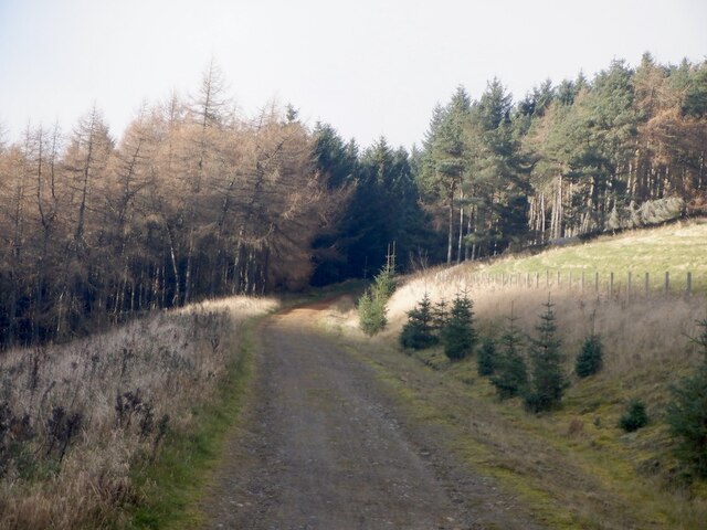
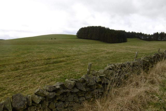
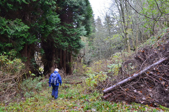
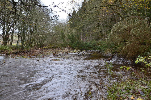
Young Lady's Wood is a picturesque woodland located in Midlothian, Scotland. Spread across an area of approximately 20 acres, this enchanting forest is a haven for nature lovers and outdoor enthusiasts alike. The wood is known for its diverse range of flora and fauna, providing a rich habitat for many species of plants and animals.

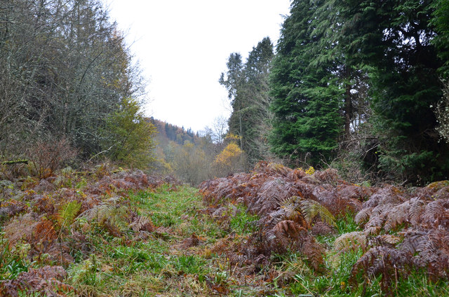
The wood is predominantly made up of native Scottish trees, such as oak, birch, and rowan, which create a stunning canopy of greenery. Walking through the wood, visitors will encounter a variety of wildflowers, including bluebells, primroses, and wood sorrel, adding bursts of color to the landscape throughout the year.

Young Lady's Wood is also home to a diverse range of wildlife. Birdwatchers can spot various species, including woodpeckers, wrens, and thrushes, while lucky visitors may even catch a glimpse of the elusive red squirrel. The wood is also known to be a breeding ground for butterflies and other insects, making it a great destination for nature photography and observation.

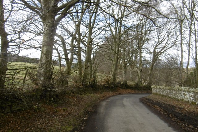
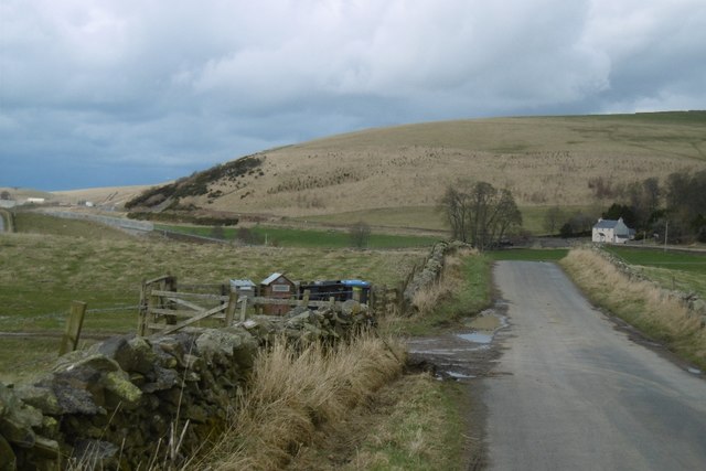
The wood is easily accessible to the public, with well-maintained footpaths winding through its serene surroundings. It offers a peaceful retreat from the hustle and bustle of city life, providing a tranquil setting for walking, picnicking, or simply immersing oneself in the natural beauty of the area.

Young Lady's Wood is a hidden gem in Midlothian, offering visitors a chance to connect with nature and enjoy the tranquility of Scotland's woodlands.

If you have any feedback on the listing, please let us know in the comments section below.

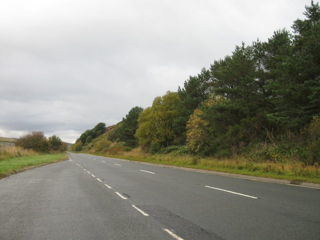
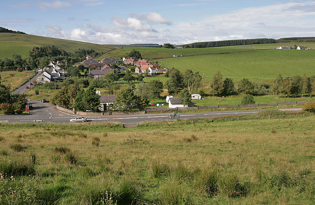
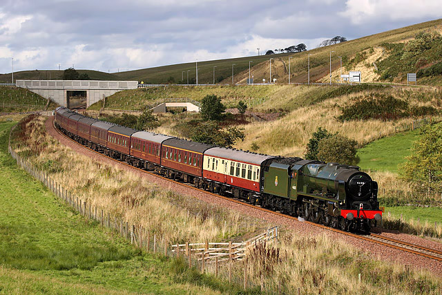
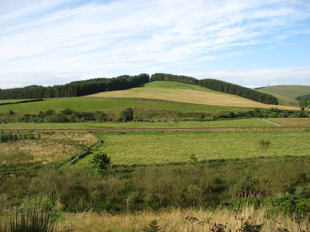
Young Lady's Wood Images

Images are sourced within 2km of 55.763423/-2.9659492 or Grid Reference NT3952. Thanks to Geograph Open Source API. All images are credited.

Road to Roughsware Wood
The Borders Railway, Heriot Contractors carrying out some minor excavation by the side of the recently completed line, due to open next month, seen from the new road bridge S of Heriot village.
The Borders Railway, Heriot
Contractors carrying out some minor excavation by the side of the recently completed line, due to open next month, seen from the new road bridge S of Heriot village.
The Borders Railway, Heriot (2) Looking up the line past Heriot village towards the railway's highest point (268m, 880 feet) at Falahill.
The Borders Railway, Heriot (2)
Looking up the line past Heriot village towards the railway's highest point (268m, 880 feet) at Falahill.
New road bridge and junction, Heriot As part of the Borders Railway construction, the B709 has been realigned to cross the railway S of the village; the original A7 junction has been closed off and a slip road now gives access to the village.
New road bridge and junction, Heriot
As part of the Borders Railway construction, the B709 has been realigned to cross the railway S of the village; the original A7 junction has been closed off and a slip road now gives access to the village.
Borders Railway, Heriot The 1745 from Tweedbank to Edinburgh Waverley approaches the site of Heriot Station on the day passenger services resumed on the northern third of the Waverley Line. As soon as I took this, I put down my camera and clapped. Looking forward to travelling on the line soon, but don't expect shots from the train!
Borders Railway, Heriot
The 1745 from Tweedbank to Edinburgh Waverley approaches the site of Heriot Station on the day passenger services resumed on the northern third of the Waverley Line. As soon as I took this, I put down my camera and clapped. Looking forward to travelling on the line soon, but don't expect shots from the train!
Border Railway near Heriot On opening day, looking southwards. The railway was closed between 1969 and 2015 and remains closed south of Tweedbank.
Border Railway near Heriot
On opening day, looking southwards. The railway was closed between 1969 and 2015 and remains closed south of Tweedbank.
New road, Heriot A bridge has been built south of the old level crossing site at Heriot. There is now a pedestrian underpass there. The railway reopened on the 6th September 2015. <a href="https://www.geograph.org.uk/photo/4648382">NT4054 : Borders Railway, Heriot</a>
New road, Heriot
A bridge has been built south of the old level crossing site at Heriot. There is now a pedestrian underpass there. The railway reopened on the 6th September 2015. NT4054 : Borders Railway, Heriot
Mist blanketing Gala Valley South of Heriot
A7 lay-by
A7 lay-by
Heriot by the A7 This was taken in 2010 when access to the village from the A7 was at this location. Since the reinstatement of the Borders Railway in 2015, the access from the A7 is now approximately 400m to the south <a href="https://www.geograph.org.uk/photo/4609028">NT4054 : New road bridge and junction, Heriot</a>.
Heriot by the A7
This was taken in 2010 when access to the village from the A7 was at this location. Since the reinstatement of the Borders Railway in 2015, the access from the A7 is now approximately 400m to the south NT4054 : New road bridge and junction, Heriot.
A steam special on the Borders Railway at Hangingshaw The steam locomotive Royal Scot is being hauled back to Edinburgh by a vintage diesel.
A steam special on the Borders Railway at Hangingshaw
The steam locomotive Royal Scot is being hauled back to Edinburgh by a vintage diesel.
Chapel Hill The recently reopened Borders Railway crosses the centre of this picture.
Chapel Hill
The recently reopened Borders Railway crosses the centre of this picture.
Hillside above Halltree
Yellow road, Kilcoulter Approach to Kilcoulter Bridge, heading northwards.
Yellow road, Kilcoulter
Approach to Kilcoulter Bridge, heading northwards.
Road south of Heriot The white house by the A7 used to have a shop and filling station.
<a href="https://www.geograph.org.uk/photo/38033">NT4053 : Hangingshaw Post Office.</a>
Road south of Heriot
The white house by the A7 used to have a shop and filling station. NT4053 : Hangingshaw Post Office.
Rough path near White Bridge, Heriot The path shown running ENE from White Bridge cannot be recommended. The section shown here looks straightforward but led here through a flooded ditch, avoided by taking to the undergrowth on the right.
Rough path near White Bridge, Heriot
The path shown running ENE from White Bridge cannot be recommended. The section shown here looks straightforward but led here through a flooded ditch, avoided by taking to the undergrowth on the right.
A forlorn hope, Heriot On an abortive attempt to follow the path shown on the S bank of the Heriot Water between White Bridge and Kilcoulter Bridge. Beyond this point the route was heavily overgrown with fallen trees, swampland and barbed wire adding to the fun.
A forlorn hope, Heriot
On an abortive attempt to follow the path shown on the S bank of the Heriot Water between White Bridge and Kilcoulter Bridge. Beyond this point the route was heavily overgrown with fallen trees, swampland and barbed wire adding to the fun.
Heriot Water at Kilcoulter Wood The furthest point reached on the attempt to follow the path from White Bridge to Kilcoulter Bridge.
Heriot Water at Kilcoulter Wood
The furthest point reached on the attempt to follow the path from White Bridge to Kilcoulter Bridge.
Show me another place!

Young Lady's Wood is located at Grid Ref: NT3952 (Lat: 55.763423, Lng: -2.9659492)

Unitary Authority: The Scottish Borders

Police Authority: The Lothians and Scottish Borders

What 3 Words

///advancing.gladiator.spokes. Near Gorebridge, Midlothian

Related Wikis

Heriot, Scottish Borders

Heriot is a small village in the Moorfoot Hills southeast of Edinburgh, Scotland, within Eildon (part of the Scottish Borders council area, though historically...

Halltree

Halltree is a hamlet in the Scottish Borders. == Etymology == The etymology of Halltree is debated, but the second element is likely to be a Cumbric word...

Heriot railway station

Heriot railway station served the village of Heriot, Scottish Borders, Scotland from 1848 to 1969 on the Waverley Route. == History == The station opened...
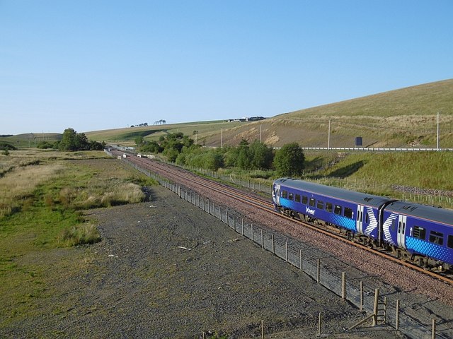
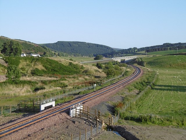
Borders Railway

The Borders Railway connects the city of Edinburgh with Galashiels and Tweedbank in the Scottish Borders. The railway follows most of the alignment of...

Carcant

Carcant is a small settlement and a wind farm, near Heriot in the Scottish Borders area of Scotland. A famous inhabitant of Carcant was Eric Liddell....

Falahill

Falahill is a village in the Scottish Borders, in the Moorfoot Hills, at NT387563, in the Parish of Heriot, and close to the border with Midlothian. Nearby...

Garvald, Scottish Borders

Garvald (Scots: Garvit) is a hamlet on the B7007, near Dewar, by the Dewar Burn, in the Moorfoot Hills, in the Scottish Borders area of Scotland, in the...

Fountainhall railway station

Fountainhall railway station served the village of Fountainhall, Scottish Borders from 1848 to 1969 on the Waverley Route. == History == The station opened...

Nearby Amenities

Located within 500m of 55.763423,-2.9659492
Heriot
Place: village
Wikidata: Q5738573
Wikipedia: en:Heriot, Scottish Borders
Lat/Long: 55.7647853/-2.9687439
Post Box
Ref: EH38 70
Lat/Long: 55.7649354/-2.968644
Power: pole
Lat/Long: 55.7609569/-2.9594718
Power: pole
Lat/Long: 55.767418/-2.9644029
Power: pole
Lat/Long: 55.766821/-2.966299
Power: pole
Lat/Long: 55.7662254/-2.9681951
Power: pole
Lat/Long: 55.7656354/-2.9700887
Power: pole
Lat/Long: 55.7649768/-2.9716666
Power: pole
Lat/Long: 55.7643096/-2.9731988
Power: pole
Lat/Long: 55.7672405/-2.9617153
Power: pole
Lat/Long: 55.7665403/-2.9607686
Power: pole
Lat/Long: 55.7657285/-2.9593433
The data included in this document is from www.openstreetmap.org. The data is made available under ODbL.

Have you been to Young Lady's Wood?

Leave your review of Young Lady's Wood below (or comments, questions and feedback).