Charles' Wood
Wood, Forest in Midlothian
Scotland
Charles' Wood
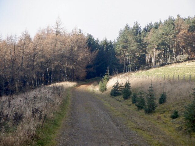
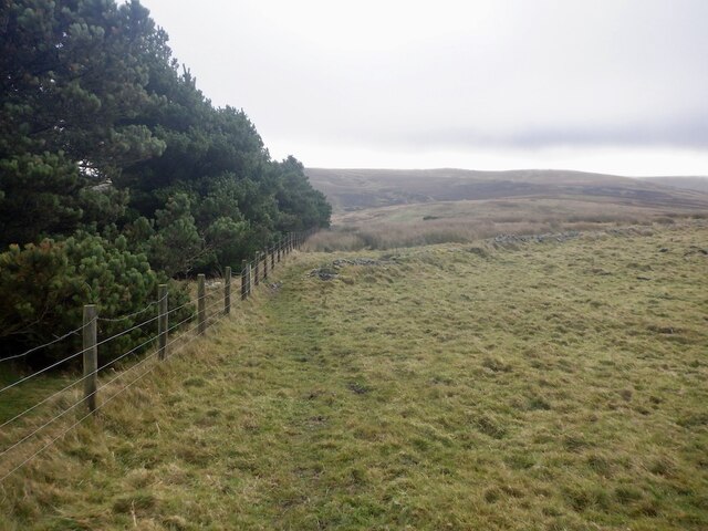
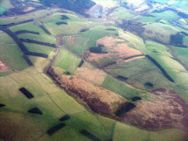
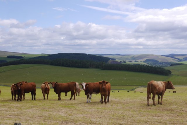
Charles' Wood is a picturesque forest located in Midlothian, Scotland. Covering an area of approximately 100 acres, the woodland offers a serene and tranquil escape from the hustle and bustle of city life. The wood is named after Charles, a prominent figure in the local community who played a significant role in its preservation and development.
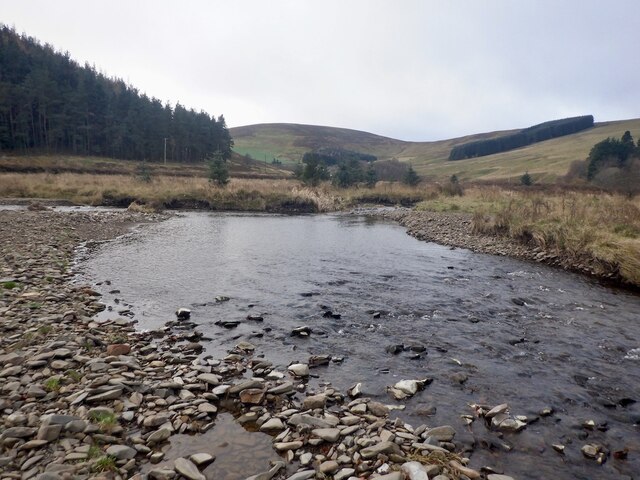
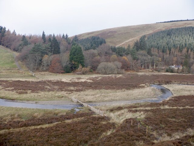
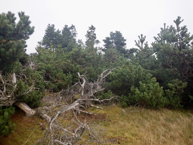
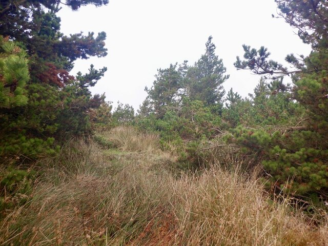
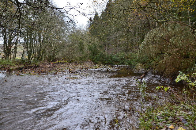
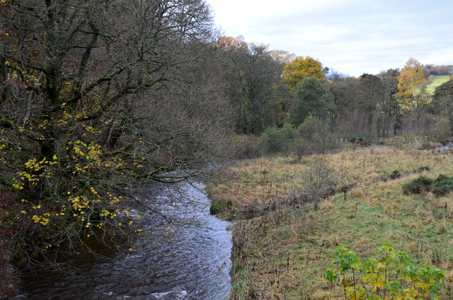
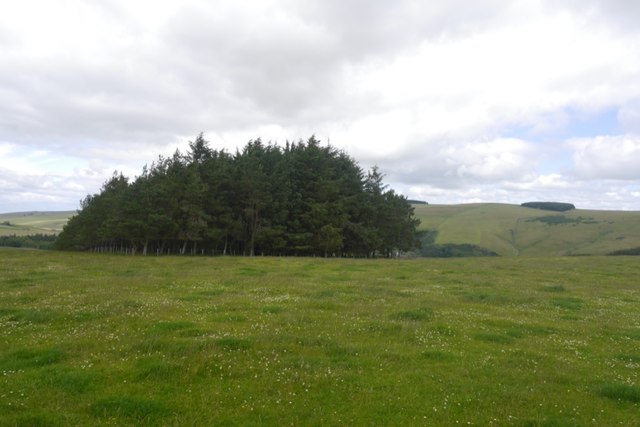
The forest is home to a diverse range of flora and fauna, with ancient oak, beech, and pine trees dominating the landscape. The dense canopy provides a sheltered habitat for a variety of bird species, including owls, woodpeckers, and songbirds. Additionally, the forest floor is adorned with vibrant wildflowers during the spring and summer months, enhancing the natural beauty of the wood.
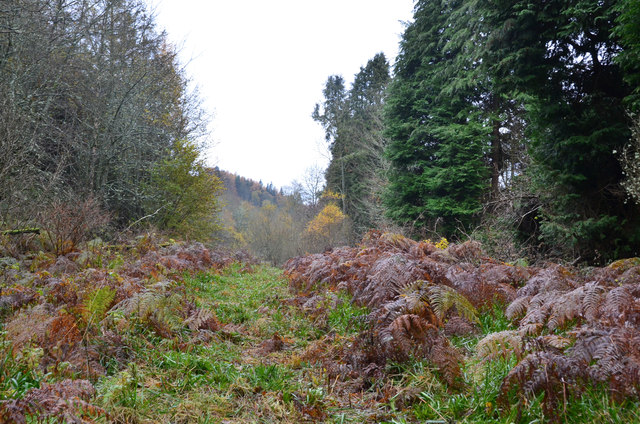
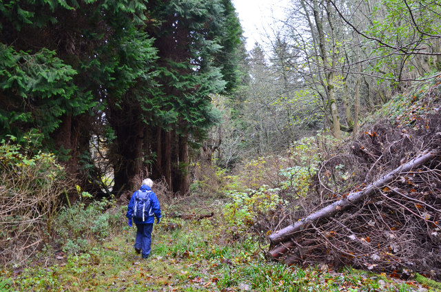
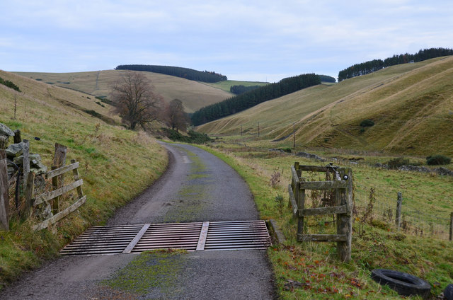
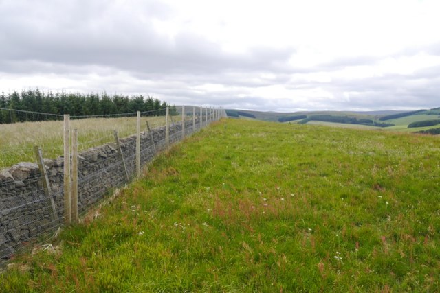
Charles' Wood offers numerous walking and hiking trails, providing visitors with the opportunity to explore the forest's hidden gems. The trails meander through the forest, offering breathtaking views of the surrounding countryside and glimpses of wildlife along the way. The wood is also a popular destination for nature enthusiasts and photographers, who are drawn to its stunning scenery and the chance to capture rare glimpses of wildlife in their natural habitat.
Furthermore, the wood has picnic areas and benches scattered throughout, allowing visitors to relax and enjoy the serene atmosphere. The forest is easily accessible, with well-maintained paths and ample parking available. Charles' Wood is a cherished gem in Midlothian, offering a haven for nature lovers and a place of tranquility for all who visit.
If you have any feedback on the listing, please let us know in the comments section below.
Charles' Wood Images
Images are sourced within 2km of 55.757875/-2.9732376 or Grid Reference NT3952. Thanks to Geograph Open Source API. All images are credited.
Charles' Wood is located at Grid Ref: NT3952 (Lat: 55.757875, Lng: -2.9732376)
Unitary Authority: The Scottish Borders
Police Authority: The Lothians and Scottish Borders
What 3 Words
///lately.taller.snores. Near Gorebridge, Midlothian
Nearby Locations
Related Wikis

Heriot, Scottish Borders
Heriot is a small village in the Moorfoot Hills southeast of Edinburgh, Scotland, within Eildon (part of the Scottish Borders council area, though historically...

Halltree
Halltree is a hamlet in the Scottish Borders. == Etymology == The etymology of Halltree is debated, but the second element is likely to be a Cumbric word...

Carcant
Carcant is a small settlement and a wind farm, near Heriot in the Scottish Borders area of Scotland. A famous inhabitant of Carcant was Eric Liddell....

Heriot railway station
Heriot railway station served the village of Heriot, Scottish Borders, Scotland from 1848 to 1969 on the Waverley Route. == History == The station opened...

Borders Railway
The Borders Railway connects the city of Edinburgh with Galashiels and Tweedbank in the Scottish Borders. The railway follows most of the alignment of...
Garvald, Scottish Borders
Garvald (Scots: Garvit) is a hamlet on the B7007, near Dewar, by the Dewar Burn, in the Moorfoot Hills, in the Scottish Borders area of Scotland, in the...

Falahill
Falahill is a village in the Scottish Borders, in the Moorfoot Hills, at NT387563, in the Parish of Heriot, and close to the border with Midlothian. Nearby...

Fountainhall railway station
Fountainhall railway station served the village of Fountainhall, Scottish Borders from 1848 to 1969 on the Waverley Route. == History == The station opened...
Nearby Amenities
Located within 500m of 55.757875,-2.9732376Have you been to Charles' Wood?
Leave your review of Charles' Wood below (or comments, questions and feedback).