Herland Croft

Settlement in Cornwall

England

Herland Croft

A patchwork gate beside the lane to Tregonning Hill
A patchwork gate beside the lane to Tregonning Hill Credit: David Medcalf

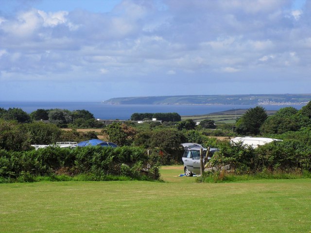
Herland Croft is a picturesque village located in the county of Cornwall, England. Situated in the southwestern part of the country, it is nestled amidst the rolling hills and lush green landscapes that Cornwall is renowned for. The village is known for its serene and idyllic setting, making it a popular destination for nature lovers and those seeking a peaceful retreat.

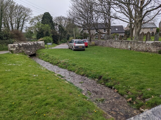
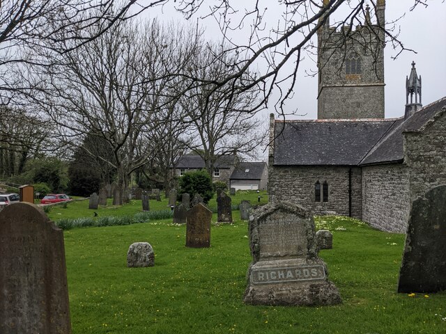
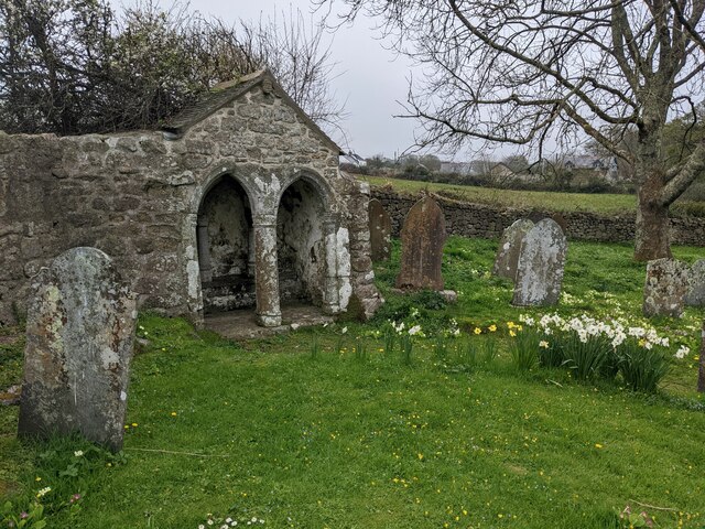
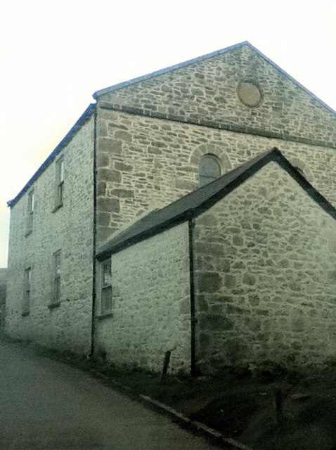
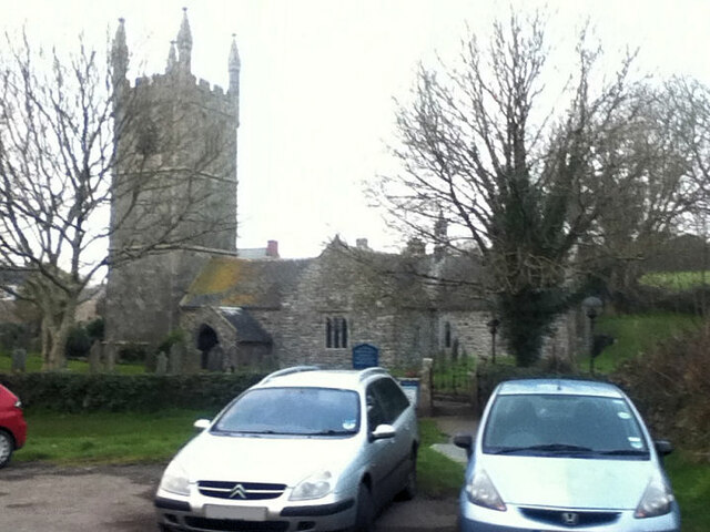
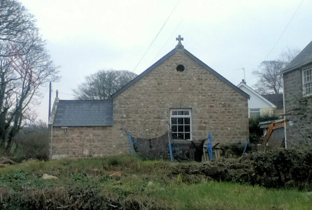
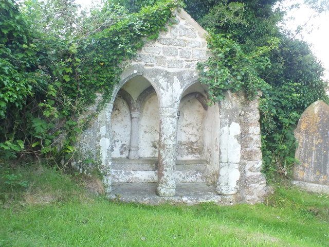
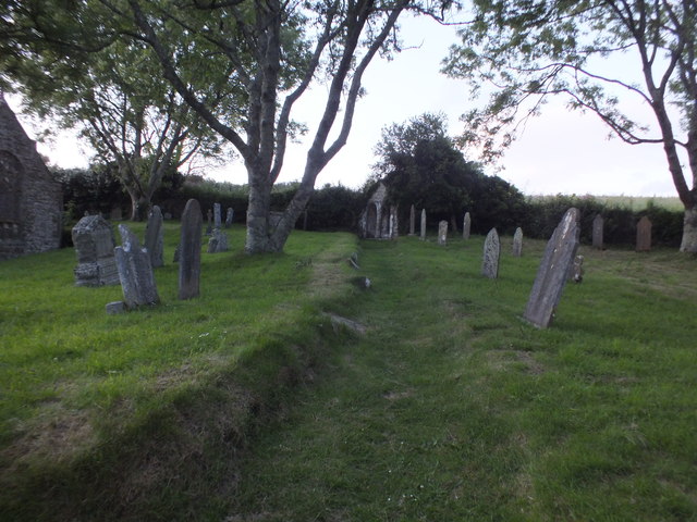
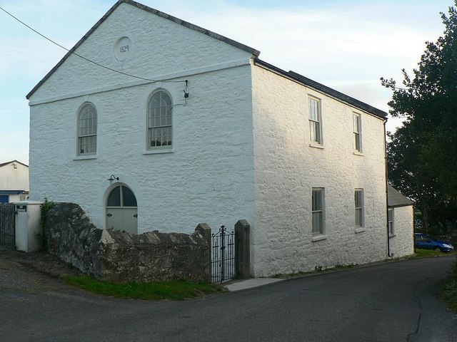
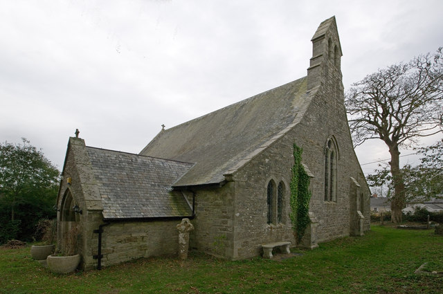
One of the defining features of Herland Croft is its charming architecture, with traditional stone cottages lining the narrow streets. These buildings showcase the rich history and heritage of the area, dating back several centuries. The village is also home to a quaint parish church, which adds to its historic charm.

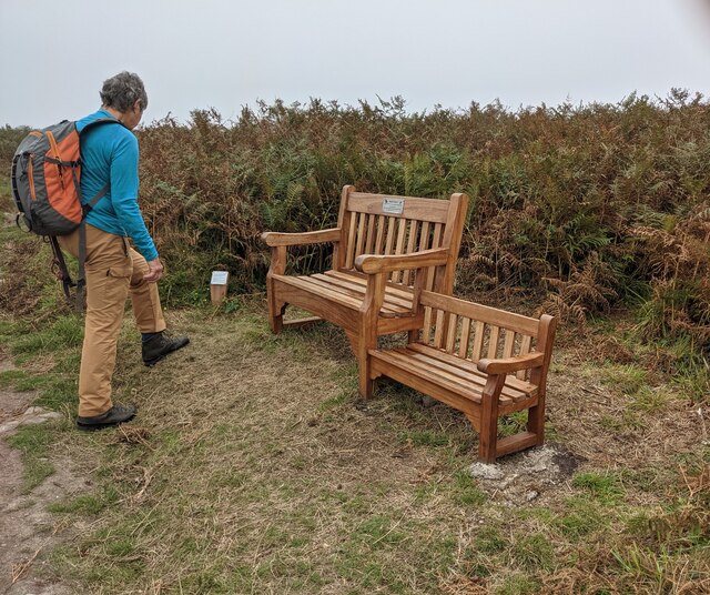
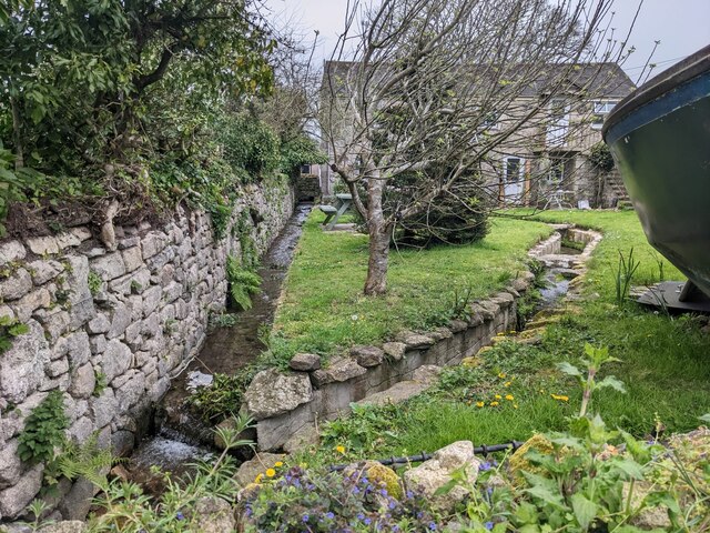
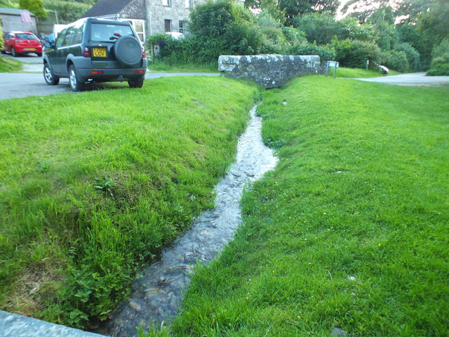
Surrounded by beautiful countryside, Herland Croft offers numerous opportunities for outdoor activities. Visitors can explore the nearby hiking trails, which wind through verdant woodlands and offer breathtaking views of the surrounding countryside. The village is also close to the stunning coastline, providing easy access to sandy beaches and rugged cliffs, making it perfect for coastal walks and water sports.

Despite its small size, Herland Croft boasts a close-knit community with a friendly and welcoming atmosphere. The village is home to a handful of local businesses, including a cozy pub and a few charming shops selling local crafts and produce. The residents take pride in their community and often organize events and festivals that showcase the local traditions and culture.

Overall, Herland Croft is a hidden gem in Cornwall, offering a tranquil escape from the hustle and bustle of modern life. With its captivating scenery, rich history, and warm community spirit, it is a destination that leaves a lasting impression on all who visit.

If you have any feedback on the listing, please let us know in the comments section below.

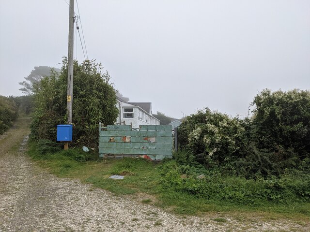
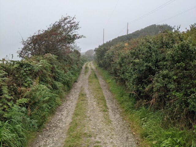
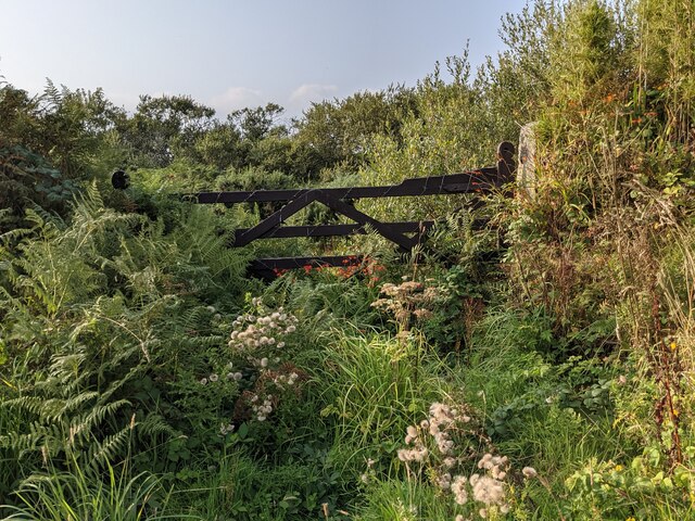
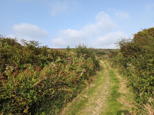
Herland Croft Images

Images are sourced within 2km of 50.128185/-5.3593984 or Grid Reference SW5930. Thanks to Geograph Open Source API. All images are credited.

A patchwork gate beside the lane to Tregonning Hill
The lane from Balwest This well-surfaced lane is classified as a footpath. It seems obvious that this was the lane serving the quarries on Tregonning Hill and should, at the least, be a bridleway. Cornwall Council have now (2021) raised a Definitive Map Modification Order (DMMO) to change its status.
The lane from Balwest
This well-surfaced lane is classified as a footpath. It seems obvious that this was the lane serving the quarries on Tregonning Hill and should, at the least, be a bridleway. Cornwall Council have now (2021) raised a Definitive Map Modification Order (DMMO) to change its status.
The lane to the clay pit Unused and very much overgrown.
The lane to the clay pit
Unused and very much overgrown.
Bridleway near the clay pit pool The pool is only a few yards to the left, but completely hidden by vegetation.
Bridleway near the clay pit pool
The pool is only a few yards to the left, but completely hidden by vegetation.
A rather touching memorial bench on Tregonning Hill
Stream and green space at Germoe
St Germoe's churchyard
Garden streams next to St Germoe's church
St Germoe's Chair Set into the wall of the churchyard.
St Germoe's Chair
Set into the wall of the churchyard.
Balwest Wesleyan Methodist Chapel from 1829
St Germoe Church
St Germoe Church
St Germoe Church
St Germoe Church
Mount's Bay from Tremorvu Camp Site A lovely view from an isolated camp site during the height of summer in Cornwall.
Mount's Bay from Tremorvu Camp Site
A lovely view from an isolated camp site during the height of summer in Cornwall.
William Cookworthy memorial on Tregonning Hill Just behind the memorial can be seen the quarry face where china clay was first excavated in Britain for the use in the manufacture of porcelain. See <a href="https://www.geograph.org.uk/photo/2662025">SW6029 : Quarry on Tregonning Hill</a>.
William Cookworthy memorial on Tregonning Hill
Just behind the memorial can be seen the quarry face where china clay was first excavated in Britain for the use in the manufacture of porcelain. See SW6029 : Quarry on Tregonning Hill.
St Germoe's Chair also know as the Throne The Most Famous Chair in St Germoe
St Germoe's Chair also know as the Throne
The Most Famous Chair in St Germoe
Grave Dedicated to the "Richards Family" Edward 1852,Elizabeth 1879 wife and Charlotte 1853 Daughter, Richards family 
Grave
Grave Dedicated to the "Richards Family"
Edward 1852,Elizabeth 1879 wife and Charlotte 1853 Daughter, Richards family Grave
Path Leading to St Germoe's Chair For some reason the path was about 9" lower than the land around.
Leading the way to the Chair.
Path Leading to St Germoe's Chair
For some reason the path was about 9" lower than the land around. Leading the way to the Chair.
Small Stream The stream runs outside the church at St Germoe (Cornwall).
Small Stream
The stream runs outside the church at St Germoe (Cornwall).
Show me another place!

Herland Croft is located at Grid Ref: SW5930 (Lat: 50.128185, Lng: -5.3593984)

Unitary Authority: Cornwall

Police Authority: Devon and Cornwall

What 3 Words

///privately.brightens.commoners. Near Germoe, Cornwall

Related Wikis

Great Work Mine

Great Work Mine was a Cornish mine between Godolphin hill and Tregonning Hill and is in the hamlet of Great Work on Bal Lane. Great Work is notable for...

Balwest

Balwest (Cornish: Bal West, meaning Western mine) is a hamlet in the civil parish of Germoe in west Cornwall, England, in the United Kingdom.The hamlet...

Godolphin Cross

Godolphin Cross (Cornish: Krows Hirlan) is a village in the former Kerrier District of west Cornwall, England. It is in the civil parish of Breage, midway...

Godolphin Estate

The Godolphin Estate is a National Trust property situated in Godolphin Cross, 7 km (4.3 mi) north-west of Helston in Cornwall, England. The house is a...

Broadlane

Broadlane is a hamlet in the parish of Breage, Cornwall, England. == References ==
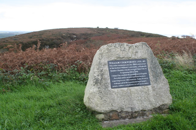
Tregonning Hill

Tregonning Hill is the westerly of two granite hills overlooking Mount's Bay in west Cornwall, England, United Kingdom, the other being Godolphin Hill...

Boscreege

Boscreege (Cornish: Boskrug) is a small village in the civil parish of Germoe in west Cornwall, in England, United Kingdom.The village is on the southern...
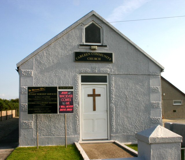
Carleen

Carleen is a village in the parish of Breage, Cornwall, England, about 1.5 miles (2.4 km) north of the village of Breage on the road to Godolphin Cross...

Nearby Amenities

Located within 500m of 50.128185,-5.3593984
Post Box
Brand: Royal Mail
Brand Wikidata: Q638098
Collection Times: Mo-Fr 09:00; Sa 07:00; Su off
Drive Through: no
Operator: Royal Mail
Operator Wikidata: Q638098
Post Box Design: type_b
Post Box Mounting: building
Post Box Type: wall
Ref: TR13 87D
Royal Cypher: GVIR
Royal Cypher Wikidata: Q33102169
Source: survey;streetlevel imagery;aerial imagery
Lat/Long: 50.127146/-5.3653667
camp
Historic: archaeological_site
Note: exact location uncertain
Source: NPE
Lat/Long: 50.125779/-5.3594867
Bench
Backrest: yes
Source: recovered from clean object
Lat/Long: 50.1275668/-5.3651259
Chimney
Disused: yes
Historic: ruins
Lat/Long: 50.1280186/-5.3656647
Power: pole
Lat/Long: 50.1269374/-5.3638145
Power: pole
Lat/Long: 50.128055/-5.3606093
Power: pole
Lat/Long: 50.1284161/-5.359177
Power: pole
Lat/Long: 50.1291555/-5.3562507
Power: pole
Lat/Long: 50.1290076/-5.3540432
Barrier: stile
Bicycle: no
Foot: designated
Horse: no
Motor Vehicle: no
Lat/Long: 50.129864/-5.3644632
The data included in this document is from www.openstreetmap.org. The data is made available under ODbL.

Have you been to Herland Croft?

Leave your review of Herland Croft below (or comments, questions and feedback).